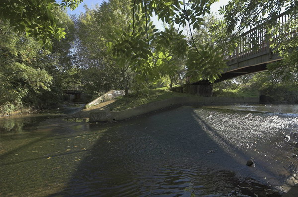
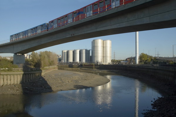
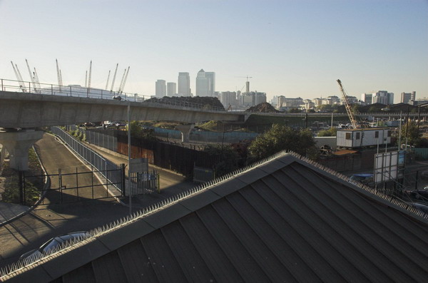
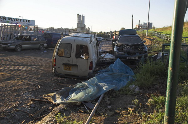
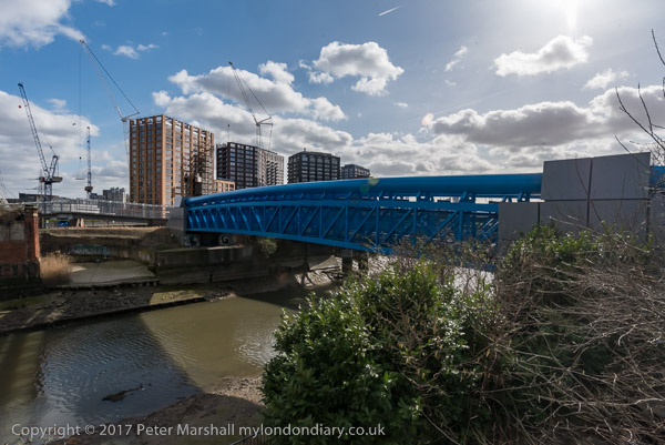
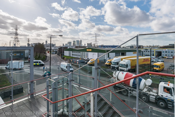
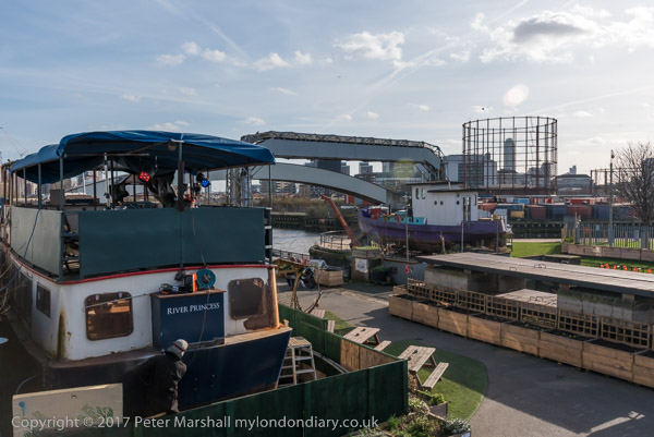
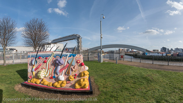
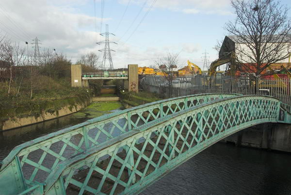
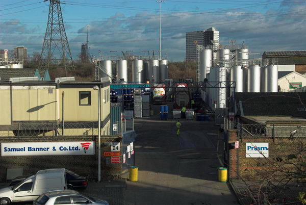
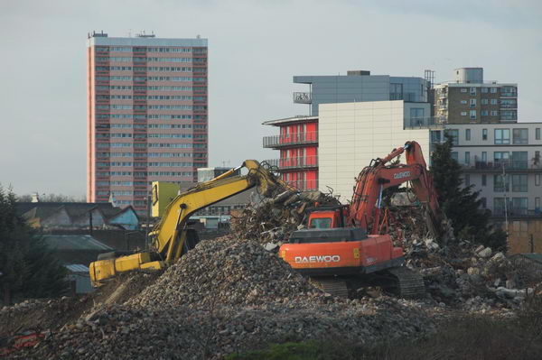
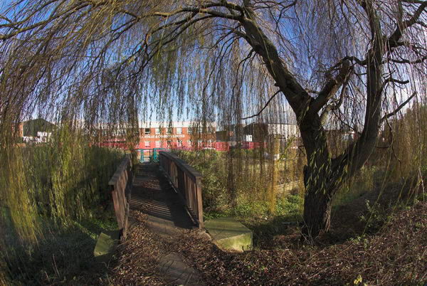
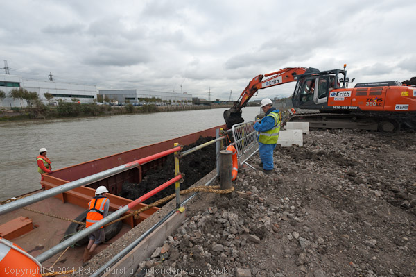
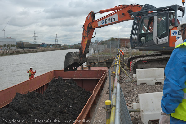
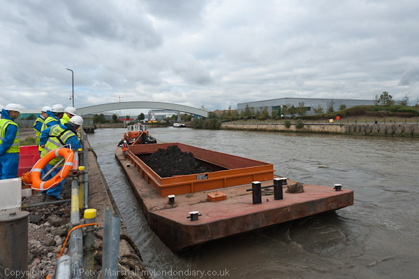
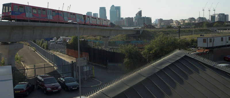
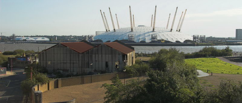
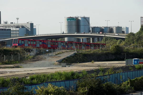
Barging on Bow Creek: On Wednesday 12 October 2011 I was pleased to get paid to go back to Bow Creek and take photographs of a working barge on Bow Creek in Poplar.
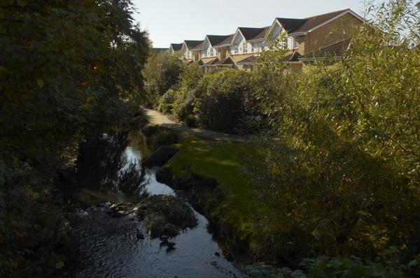
Bow Creek is the lower part of the River Lea, between Bow Locks and the River Thames. Bow Locks mark the southern end of the Lea Navigation and since London’s oldest canal, the Limehouse Cut opened in 1770, most canal traffic took advantage of this to take a more direct route to the Thames and avoid the dangerous and meandering tidal Bow Creek.
The River Lea remains tidal some miles above Bow Lock, but this tidal section is separate from the navigation, although there are various channels and locks such as City Mill Lock and Carpenters Lock on the Olympic site which link the two.
Bow Creek continued to be used for navigation, including for bring coal to West Ham Power Station and the huge Imperial Gas Light & Coke Company gas works at Bromley-by-Bow.
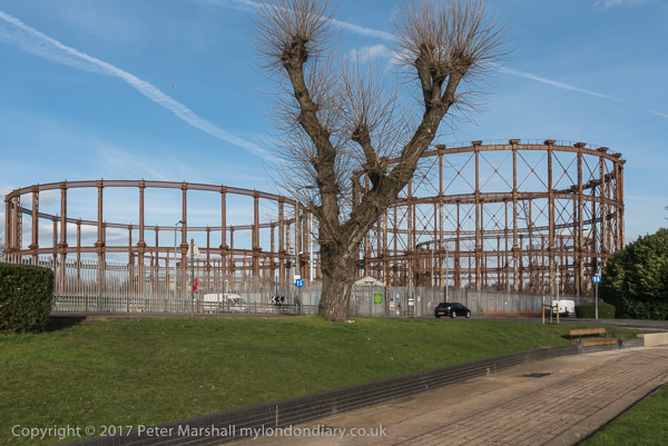
But the gas works closed in 1976 although its gasholders remain – they were still in use for gas storage until 2010. (I went inside the site to photograph them in 2022.) Planning permission has now been granted for 2,200 new homes on the site, retaining the seven gasholders. The gas works dock is now Cody Dock, a creative and community hub with moorings and a short walk from the DLR at Star Lane, hosting many intersting events.
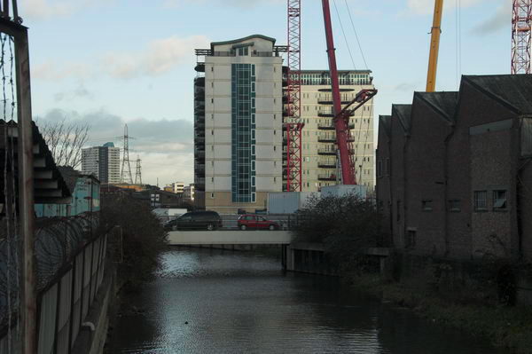
West Ham Power Station ended production in 1983 and was then demolished to build a business park. In the lower sections of Bow Creek there were still a number of timber yards and a ship repair business still using the creek at least in the 1980s, but I think all all commercial traffic has now ended.
Much was made during the construction of the Olympic site of the use of barges to carry waste away from the area, and a new lock was built at great expense on the Prescott Channel at Three Mills Green, but I think barges were only used for PR photographs and the huge majority of waste was taken out by lorries.
So I was pleased to hear that “the people cleaning up the gas works site at Poplar … were using barges to carry out the highly toxic soil from the site* and “… “was delighted to be given a commission to go and photograph the barging.”
On My London Diary I write more about my relationship with the River Lea which had begun in 1981 when “I heard a story on the radio that commercial barge traffic was about to come to an end on the Lea Navigation, and decided to travel across London to record its last days.” From then I carried out a major project on the river, but was disappointed to have a funding application turned down.
I returned to the River around ten years later and again in the early 2000s, with more frequent visits after the Olympic bid was successful – although access to the main site was soon impossible. In 2010 I published Before the Olympics, ISBN: 978-1-909363-00-7 with over 200 pictures from the source to the Thames.
The My London Diary post also describes my experience on the visit – how I had to dress up to take the pictures – and that although I’d been promised I would have half an hour to take photographs it actually ended up as 11 minutes.
After taking the pictures – both for the project PR and myself – I had the rest of the day to take a walk along Bow Creek again and made my way to the Thames on the Greenwich meridian, where I found “a new marker installed in the Virginia Quay estate next to West India Docks station, built since I carried out my ‘Meridian Project‘ in the 1990s and made an unsuccessful bid to create a’Meridian Walk’ to mark the new millennium.” Now there is a sculpture trail, The Line, which in part follows Bow Creek – and includes work at Cody Dock.
All pictures in this post are from Wednesday 12 October 2011. There are many more pictures from my walk as well as the barging at Barging on Bow Creek
A Walk Around Bow Creek: I can no longer remember what meeting I had gone to somewhere in London on Thursday 21st September 2006, perhaps one at the Musuem of London in connection with a planned exhibition (later cancelled) but I had taken my Brompton folding bicycle with me on the train, as well as my Nikon D200 camera and a couple of lenses.
The Nikon D200 was my third digital SLR camera and the first that was really great to use, with a decent viewfinder. Really the later models that I went on to buy offered only minor improvements and for most purposed the 10Mp images were large enough. At the time Nikon was still saying that the DX format was large enough – and it was only really marketing issues that made them later bring out “full-frame” cameras. And they were correct; I’m now finding the even smaller Micro Four Thirds does a great job, and the even smaller sensors in some phones have produced some remarkable images.
The smaller sensor meant that the 12-24mm Sigma lens I was using was equivalent to a 18-36mm full-frame lens, but also, because it avoided using the outer regioins of the image circle it maintained higher resolution into the image corners and had less vivnetting than if used on full frame. And the 1.5 multiplication factor made my longer zoom very much more compact than a full-frame lens with the same coverage.
I hadn’t taken any of my panoramic cameras with me, but did take some images with the intention of cropping them to a panoramic format, and some are among these pictures mainly from those I posted on My London Diary.
Having the Brompton meant it was much easier to travel around the area in the roughly two hours I spent taking pictures. It’s a great way to get around and unlike with a car you can stop pretty well anywhere, as you can if walking.
Here with some small alterations is what I wrote about this on My London Diary back in 2006:
I took off from a meeting and cycled to Canning Town, and wandered through the East India Dock estate to the walkway which leads to the Bow Creek Nature Reserve.
To my surprise, the gates on the bridge over the DLR which should lead to the riverside walkway to Canning Town Station were unlocked, and I was able to go over the bridge, only to find the path still blocked. I was just about able to take a few pictures, but not quite from the location I’d long wanted to reach to photograph Pura Foods.
I’d come to photograph the demolition of Pura Foods, soon to be replaced by a mixture of housing and retail development – and including a new bridge to Canning Town Station. This is in addition to another new bridge planned to take the riverside path from Canning Town across the Lea close to the Lower Lea Crossing down to Trinity Buoy Wharf Arts Centre, which was once promised for completion by December 2006.
[The development of London City Island was stalled for some years by the financial crash – and the lower bridge plans abandoned.]
Locals won’t be sorry to see Pura go, one of the few remaining obnoxious industries in this belt to the east of the city, although a successful campaign by local campaiging group TELCO against the smell had previously led to them cleaning up their act. Pura Foods was disappearing fast before my very eyes as I rode along the riverside path and then over the Lower Lea Crossing.
Canary Wharf Workshop – On Sunday May 9th 2004 I led a small workshop group of photographers on a walk which started at Canary Wharf and then went to Canning Town and the River Thames. Although photography is theoretically banned on the Canary Wharf estate we had no problems with security, probably because we kept to obviously public areas and I had asked those taking part not to use tripods.
I was never a fan of the redevelopment of London’s docklands under Michael Heseltine and the London Docklands Development Corporation set up in 1981. Of course development was needed after the docks became redundant, but we should have seen a development that was made for the interests of the population of London, not simply for the mates of the Tory Party.
The area needed some kind of overall planning authority, but one that worked with the local authorities in the area rather than against them, ignoring their priorities.
Of course there were gains from the work of the LDDC, perhaps the main ones being the Docklands Light Railway and the Jubilee Line Extension to Stratford. Certainly by the time it was wound up in 1990 it had changed the whole area significantly. But many of those changes had sacrificed local needs to business profits.
The piece that I wrote about the day reflected my political views about what had taken place. A year or so later London won the bidding for the Olympics, leading to yet more development in the area by an authority that disregarded local needs and led to inappropriate development, still proceeding, in East London. I’ll reproduce what I wrote in 2004 here, with minor corrections, particularly to capitalisation and spelling.
May 9th 2004 found me taking a group of photographers for a walk around some parts of London’s docklands. We started at the centre of this ‘crime of the century’. I still don’t quite understand why a Conservative government felt so at odds with the City of London that it decided to set up offshore competition in the Enterprise Zone.
The feeding frenzy that ensued, trousering public property and tax breaks into the private pocket at an unprecedented rate was inevitable.
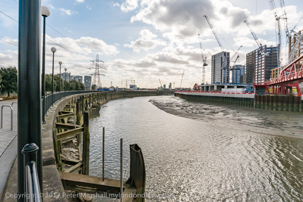
The long-term consequence has been a distorted development with few real buildings of distinction but some expensively finished tat, and a lack of overall planning. I’m not sure that London would benefit from gaining the Olympics for which it is currently bidding, but if it fails, probably part of the reason will be the Docklands debacle.
We started below the obscene gesture towards the old city, at least clear about its symbolism, then took the DLR down to Crossharbour with its silly bridge, walking back to the Wharf and taking the Jubilee to Canning Town.
Then back alongside the Lee (still waiting for that riverside walkway) to East India dock basin and along by the Thames, where a galleon appeared in front of the dome.
The River Lee is here better known in its tidal section as Bow Creek, and we are still waiting for parts of that riverside walk to be opened if they ever will be. There was a competition for a new bridge across Bow Creek with a wining design named, but money disappeared and it was never built. But a few years ago we did get a different new bridge higher up by Canning Town station and the development of the industrial site of Pura Foods as London City Island.
Reparations, North Woolwich & LouLou’s: Thursday 1st August 2019 was a long and busy day for me with an Afrikan Emancipation Day protest, finishing a walk in North Woolwich I’d begun six months earlier and photographing an evening protest outside the exclusive Mayfair club LouLou’s.
Afrikans demand reparations – Brixton, London.
People of African origin met in Windrush Square in the morning to demand an end of the Maangamizi, the continuing genocide and ecocide of African peoples and Africa on Afrikan Emancipation Day.
After speeches & libations they marched from Brixton to Westminster with a petition calling for an end to acts of violence by Britain, the misuse of taxes and the stolen legacy plundered from Afrika under the British Empire and European Imperialism and demanding reparations.
The protest was supported by Extinction Rebellion XR Connecting Communities who marched in an Ubuntu Non-Afrikan Allies bloc.
I left the march as it went past Brixton Police Station on its way to protest outside the Houses of Parliament so I could have some lunch before going to take pictures elsewhere.
I’d taken the tube back into central London to have a quick lunch before taking the DLR from Bank to London City to King George V Dock station for the final section of the walk I had begun in February but had run out of time to finish because I’d had to take a roundabout route to get there as the direct DLR services were suspended following an accident.
This time the trains were running properly. They start from Bank and so come into the station empty and I was able to chose my seat and for once I found myself sitting next to a clean window on my way to North Woolwich and took a number of pictures.
Later on my way back to Canary Wharf from King George V I was less lucky and the windows were rather grimy, but I still made a few images.
I took a few pictures as I walked from the elevated King George V station at North Woolwich to the King George V Dock entrance and joined the path by the river.
The lock here is huge, 243.8m long and 30.48m wide. I’d first photographed the area back in the 1980s as a part of a wider project on the Docklands following their closure, both in colour but mainly in black and white – in the album 1984 London Photographs. Although the docks themselves remain, much around them has changed, although there are still some derelict areas.
The riverside path here is part of the Capital Ring, and continues north and over lock at the Albert Dock entrance to the curiously desolate Armada Green Recreation Area.
Here the path ends, with beyond it the former site of the Beckton Gas Works, used as a location for at least 17 films and TV series since its closure, though best known as a stand-in for Vietnam in the 1987 Full Metal Jacket. Past that is the Beckton Sewage Treatment Works, set up in 1864 as part of Joseph Bazalgette’s scheme to treat London’s sewage and still receiving it from all of London north of the Thames.
I had to turn inland, through more recent development and the refurbished Gallions Hotel around Alber Dock Basin. I went briefly under the new bridge to see again the East London University student residences, then went back and across it, taking more pictures from the bridge and the road on my way back to King George V station.
Finally I joined the IWGB Cleaners and Facilities Branch outside the exclusive Mayfair private club LouLou’s where they were picketing and protesting for kitchen porters to be paid a living wage, be treated with dignity, respect and given decent terms and conditions including proper sick pay, holidays and pension contributions. Recently outsourced to ACT, porters want to be returned to direct employment.
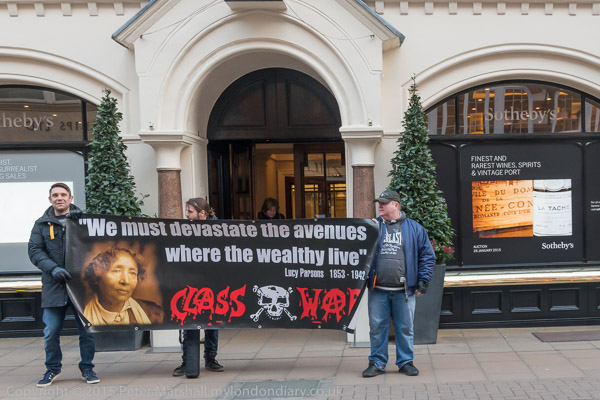
Among those supporting them were Class War, and in the picture above Ian Bone confronts a police office asking why they protect and support the rich. Needless to say the officer had no answer to the question. In general the protesters were reasonably behaved and acting within the law, but police and security hired by the club worked together to try and prevent their protest being effective.
There were angry scenes as staff escorted wealthy clients of the £1800 a year club past the picket, particularly when some roughly pushed the protesters. Police repeatedly warned the protesters but not the security men or customers who had assaulted them. The security also tried to prevent the picket from handing their flier to the customers.
As at previous protests outside of the club, none of the security staff were wearing the visible SIA door supervisor licences required under the Private Security Industry Act 2001, but the police refused to take any action over this.
I only had time for a short walk on Friday 7th April 1989, cycling home furiously from the college where I was teaching at noon as I had no afternoon classes, picking up my camera bag and rushing to catch a train into London.
Canning Town, where I was heading, was on the other side of London and not then the easiest of places to get to before the DLR and Jubilee lines were completed. My journey involved a slow transit around North London on the line from Richmond on the North London Line to the old Canning Town station immediately north of the A13 East India Dock Road, next to Stephenson Street.
If you are not familiar with the geography of this area, a small clip from OpenStreetMap, slightly enhanced, will help. The East India Dock Road on this map is labelled Newham Way, which is here a flyover above the road itself. The former station I used was just to the north of this. Pura Foods was inside the loop which is now London City Island and there was no bridge across the river at the top of the bend.
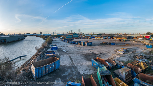
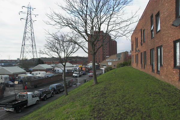
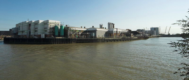
A subway close to the station entrance took me to the other side of this busy road, where I had a view of Bow Creek, northern end of its loop dominated by Pura Foods, looking across waste ground where the DLR would shortly run. The flood barrier on Bow Creek became redundant when the Thames Barrier was built.
I moved slowly west along the East India Dock Road, stopping to take occasional images. There was a considerable amount of waste including old tires dumped here, but it was also a working industrial area, with workers cars parked alongside the river.
The main business on this side of the river appeared now to be the sawmill, though I also photographed the sign board for Haughton Engineering, but I’m unsure whether they were still in business.
It seemed to me an area which cried out for some panoramic images, and I took a set of three overlapping handheld pictures – the left of the set above – intending to combine them – which back then would have involved cutting and pasting the three together, but later I found I couldn’t quite get them to match up. Even when it became possible to do this digitally I found I hadn’t quite made these precisely enough.
It was experiences like this that led me a couple of years later to save up and buy a proper panoramic camera – I think the first one cost me around a month’s wages.
I continued walking west, the road on a low viaduct giving me a good view of the area to the south, coming to a timber yard where Bow Creek flowed into the area, going down south towards Orchard Place before turning north to go back towards the East India Dock Road where I had taken the earlier images.
I’ll post about the second and final part of this short walk later.
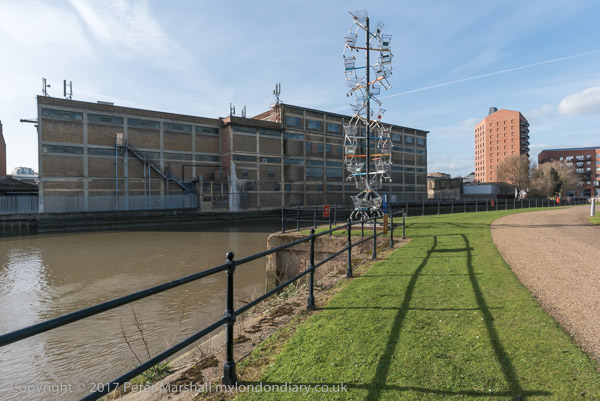
On Thursday 2nd March 2017 I had a meeting at Cody Dock about my photographic exhibition there later in the year. The weather forecast was good and promised me a day with blue sky and some clouds, perfect for my photography, particularly for some panoramas, where a clear blue sky or sullen grey overcast are both killers, so I rushed to get on an earlier train than I needed for the meeting to give time to take a walk along a part of Bow Creek before the meeting.
Years earlier there had been plans for a walk beside Bow Creek all the way from where it meets the Thames at Trinity Buoy Wharf up to the Stratford to join the tow path beside the Lea Navigation, but so far only some separate sections have materialised. The original plans envisaged two bridges taking the path across Bow Creek, and although a competition was organised (and won) for designs for one of these, neither had been built, largely because the money wasn’t there.
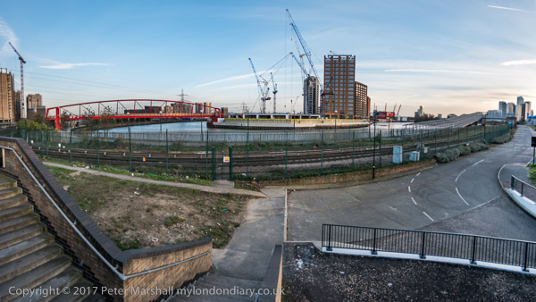
Instead the plans were changed to make use of existing bridges, but vital riverside sections remain closed, either because of existing users of the land refusing access or because of new developments taking place in the area. One such development, that of London City Island has recently provided a new bridge which allows an alternative route to the mouth of the creek.
Part of the problem has probably been that the walk is along the boundary of two local authorities, Tower Hamlets and Newham, with sections in both.
I walked one section before the meeting, but came to a locked bridge which led to a fairly lengthy detour, and ended up with me having to run along the West India Dock Road to catch the DLR to get to the meeting in time.
There is currently no path between that road and Cody Dock which would have been a faster route for me. Instead I took the DLR from Canning Town one stop to Star Lane, from where a walk through an industrial estate took me to Cody Dock.
After the meeting I was able to rejoin the riverside path, now renamed the Leaway after I and many others made fun of its previous title as the Fatwalk, and made my way to Stratford.
On my way I was pleased to find a newly opened link from Twelvetrees Crescent (named after a Mr Twelvetrees who built a bridge there to his factory) to the footpath between the river and the Lea Navigation, enabling me to avoid the rather nasty detour between here and the path via the horrendously busy Blackwall Tunnel Approach road.
This part of the Leaway is now walked much more, not least because if forms part of of ‘The Line’ sculpture trail, which rather roughly follows the Meridian from Greenwich to Stratford. But those following this still have, like me, to take the DLR or walk along busy and dusty roads from Canning Town to Cody Dock.
There was still plenty of daylight left by the time my wanderings took me to the DLR Stratford High Street station, where I entrained back to Canning Town for a few more pictures which both lack of time and the position of the sun had made impossible before my meeting. Then it was back to the station for the Jubilee Line back to central London.
It’s perhaps misleading to call this a ride, since I spent most of the day on Wednesday 3rd February 2010 actually off my bike, parking it neatly to take photographs. Although a bicycle has been my main personal transport now for over 70 years (when I’m not using public transport or walking) I’m not really a cyclist. Or at least just a pragmatic cyclist, using a bike just to get from A to B (and on this day to C,D and most of the letters of the alphabet.)
And just very occasionally for a bit of exercise. I have used exercise bikes and always thought why bother when you could use the real thing, though I suppose when its pouring with rain or below zero there might be some point in them. And though one wouldn’t help me to take photographs I would be less likely to be killed by careless or dangerous drivers.
Back at the end of 2002 I bought myself a Brompton folding bike, and a year or three later when I was undergoing a Q & A interview for an amateur photography magazine it became my answer to ‘What is your most useful photographic accessory’. It had replaced the answer to a similar question from another such magazine which was ‘a good pair of shoes’.
Once you have practised a few times the Brompton folds (and unfolds) in a few seconds into a fairly compact package, which has the advantage you can take it at any time onto our trains and underground system. It’s too heavy for me to comfortably carry any distance, but I added the tiny wheels which mean you can pull it rather like a suitcase, only actually lifting it when necessary. And I bought the bag which fits on in front of the handlebars which was about the right size for my camera gear and essentials like a bottle of water or a flask of coffee and sandwiches.
I can’t know remember exactly how I got to the start of my ride, though I think I probably rode from Waterloo to Fenchurch Street for a train to Limehouse station, crossing the Thames on Southwark Bridge. But from there on the pictures make my route fairly clear.
I cycled roughly along the Regents Canal up to the former Stepney Gas Works site north of Ben Johnson Road. There had been a fight to save more elements of the former gas works including gas holders which were some of the oldest surviving in the world; although some were said by English Heritage to be of national importance an attempt to get one of them listed failed. Eventually the area was redeveloped by Bellway Homes with only token ‘public art’ residues of the works.
From there I headed east to the bridge at Twelvetrees Crescent across Bow Creek and the Lea Navigation to visit another gas works site, the West Ham Memorial Gardens where war memorials, a permanent flame and a statue of Sir Corbett Woodhall are in a small wooded area close to the remarkable group of gas holders for the former Bromley-by-Bow Gas Works.
From there I went down to the recently opened path beside Bow Creek, part of a planned riverside walk which had been landed with the ridiculous name of The Fatwalk. As I commented then, most of the walk, meant to lead from Three Mills all the way to the Thames was still closed (and is still closed 13 years later) and by the time they were open the “nincompoop who thought that ‘The Fatwalk’ was a good name for this route will probably have retired or died or moved to another job for which he (or she) is equally incapable and common sense will prevail as we walk or cycle along the Bow Creek Trail.”
The walk still only goes as far south as Cody Dock, now a thriving community resource and hub with events and exhibitions and worth a visit, but in 2010 still undeveloped. The silly name has gone and this path is now also a part of London’s sculpture trail, The Line, making its way from the Greenwich Peninsula to Stratford.
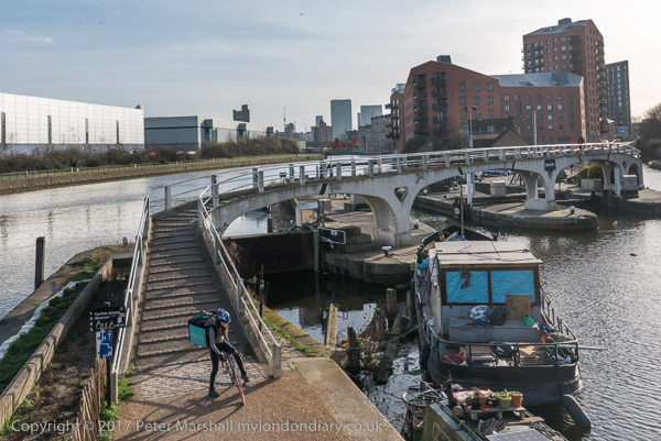
At the end of the Fatwalk, I had to turn around and go back to the Twelvetrees Crescent bridge, where I once again photographed the locks from the Lea Navigation to Bow Creek. Now there are new steps leading down from this bridge to the towpath, but then I had to go across and join the fast-moving traffic on the Blackwall Tunnel Northern Approach to make my way to Three Mills.
Three Mills is home to one of Newhams only four Grade I listed buildings and the House Mill, a tide mill, was built in 1776, though there had been tide mills here at least since the Domesday book.
The film studios here were converted from a gin factory where Chaim Weizmann developed a new biochemical process to produce acetone needed for explosive production in the First World War – which led to the Balfour Declaration and later to Weizmann becoming the first president of Israel.
Past the studios I visited the new lock on the Prescott Channel, opened in 2009. Supposedly this was to be used by barges to carry away waste and bring in material for the development of the Olympic site instead of lorries, but was in practice only used for photo-opportunities. The Prescott Channel was built in the 1930s, part of a large flood relief programme, that was also largely to provide jobs at the height of the depression.
Finally I cycled up to the Olympic site, a building site with little or no public access, but parts of the ‘Greenway’ – the path on the Northern Sewage Outfall – were still open and gave extensive views. The reason I was in London on this particular day, when the weather wasn’t at its best was to be interviewed and filmed by a group of students at the View tube on the Greenway. I can’t remember ever seeing the video. After the interview I made my way to Stratford to fold the Brompton and start my journey home on the Jubilee Line.
As well as taking single images I also produced a number of panoramas, taking a series of pictures from the same position to be stitched together. These include some 360 degree views, produced by software from 6 or 8 individual images. The pictures were taken on a Nikon D700 and are each 12Mp, but the combined files are huge. It isn’t easy to display these on the web, and they fit even less well on this blog. I’ll post one here on a rather smaller scale and invite you to double click on it to see it larger, though still much reduced. You can find more online here.
Thursday 6th October 2016 was another of those varied days I love. I began with a lunchtime protest against victimisation and nepotism by cleaners, then went for a walk by Bow Creek before finally photographing a protest outside RIBA where the annual Stirling Prize presentation was taking place.
Cleaners demand ‘End Nepotism’ – 155 Moorgate
The Independent Workers Union CAIWU occupied the lobby of Mace’s headquarters building in Moorgate at lunchtime protesting noisily against cleaning contractor Dall Cleaning Services. I met the cleaners and supporters outside Moorgate station where they got out posters and a banner before marching quietly to pay an unannounced visit to Mace’s headquarters building where they walked into the lobby and started making a lot of noise.
They called for the reinstatement of two cleaners who they say were dismissed illegally without proper notice or other procedures being followed. They say that the cleaners have been dismissed simply to give jobs to members of the family of a Dall Cleaning Services supervisor.
After around 15 minutes a police officer arrived, but it was too noisy to hear what he was saying and the protest continued. He stood a little to the side and called for reinforcements, and as these arrived the protesters walked out to join those who had stayed outside and the protest continued on the pavement for another 20 minutes.
Police came to tell the protesters they were making a lot of noise, and were told that was the idea – they came here to do so and shame Mace and Dall Cleaning Services.
Eventually another officer who had been present at several previous CAIWU protests arrived and was told they would soon be stopping.
And after a couple more minutes, Alberto ended the protest with the usual warning “We’ll be back – and that’s a fact”.
I had the afternoon to fill before the next protest and it was a fine day so I decided it was time to take another trip to Bow Creek. I took the DLR from Bank to West India Dock to start my walk, and took the opportunity and a fairly clean train window to take a few pictures on my way there.
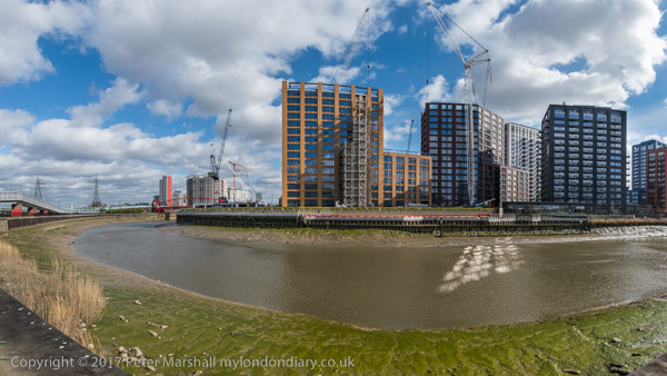
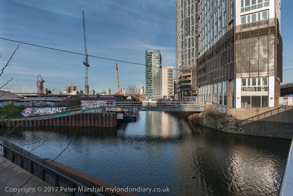
I walked over the Lower Lea Crossing, which provided a view of work which was now rapidly going ahead on ‘City Island’, where a loop in Bow Creek goes around what was previously the site of Pura Foods. This development had stalled with the financial crash in 2008 but was now in full swing.
From there I walked on along the elevated Silvertown Way, giving views of the surrounding area, before taking the DLR back to Canning Town, again taking advantage of a fairly clean train window on the ride.
Rather to my surprise, at Canning Town I found that the exist to the riverside walk was finally open. I think the walk here beside Bow Creek was constructed in the 1990s and I’d been waiting for around 20 years for this exit from the station to open and give access to it. I didn’t have as much time left as I would have liked but did make a few pictures.
For years there have been plans to create a walk from the path beside the Lea Navigation at Bromley-by-Bow to the Thames at Trinity Buoy Wharf, and the section as far as Cody Dock had opened a few years earlier – with the ridiculous name of ‘The Fatwalk’. It hasn’t really got any further yet, though at least it has been renamed as the ‘Leaway’.
Architects for Social Housing (ASH) led a protest outside the Stirling Prize awards ceremony pointing out that one of the short-listed projects, Trafalgar Place, was built on the demolished Heygate Estate, which was ‘stolen from the people’ with hundreds of social housing tenants and leaseholders being evicted and the site sold at one tenth of its value to the developers.
Together with other housing protesters than held their own awards ceremony on the pavement in front of the RIBA building, awarding the ‘O J Simpson Award for getting away with murder’ to drMM Architects for this project, the first phase of Lendlease’s £1.5 billion Elephant & Castle redevelopment. This will replace 1214 social housing homes with few or no affordable homes.
There were no other contestants for the Ben Derbyshire Foot In Mouth Award than RIBA President Elect Ben Derbyshire but there was a vote to select which of five of his totally ridiculous statements by him about social housing should be the winner.
Among those at the protest were residents opposing the demolition of the Aylesbury estate, close to the Heygate, where Southwark Council are also demolishing social housing properties rather than carry out relatively low cost Aylesbury estate,that was voted for by the residents and could continue the useful life of these properties for many years.
Estate demolition has a huge social and environmental cost and schemes like these in the borough of Southwark result in huge losses of social housing. But they provide expensive properties often sold largely to investors who will never live in them and large profits to the developers. Councils hope to share in these profits, but on the Heygate made huge losses, though some individuals involved have gained highly lucrative jobs.
Saturday 21st September 2019 was an even more varied day than usual for me in London. I began by travelling to Bow Creek for a duck race, moved to Trafalgar Square for a climate protest, then visted the weekly Zimbabwe vigil before going to Catford for a march against air pollution.
Bromley-by-Bow to Star Lane & Cody Dock Duck Race
It was a fine day and still warm for the time of year as I walked from Bromley-by-Bow District Line the short distance to Tweletrees Crescent and Bow Creek.
I’d decided to come to see the Duck Race along Bow Creek being organised by the people at Cody Dock, but had arrived early to give myself time to revisit the gas works memorial site nearby.
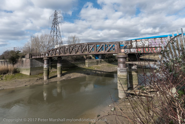
Bow Creek is the tidal section of London’s second river, the River Lea, and the duck race was a part of the ‘Lighting Up the Lea’ festival for ‘Totally Thames 2019’. It was meant to start at 11.00 but this was delayed as the people in canoes who were to shepherd the ducks were a few minutes late in arriving.
It was close to low tide, and there was little water in the creek when the ducks were dropped from the bridge, and a westerly breeze soon blew the ducks onto the mud on the east side of the creek.
Cody Dock’s Simon Myers had beached his kayak on the gravel bank a hundred yards or so downstream and strode through the shallow stream and mud to rescue the ducks and through them back into the middle of the stream. But the breeze soon returned them to the mud and he had to get them again.
I decided I had to move on to complete my walk and get back to central London for my next event and walked on towards Cody Dock, past several small groups of people waiting to see their ducks. At Cody Dock there were a small line of catchers waiting hopefully in the stream, but they were in for a rather long wait.
I’d hoped to be able to continue my walk by the riverside to Canning Town, but this further section of the Bow Creek path has yet to be opened, and after taking a few pictures at Cody Dock I made my way to Star Lane DLR station.
Members of Extinction Rebellion Youth International came to Trafalgar Square and held a brief protest for the UN Climate conference.
This was a rather more low-key event than I had expected and the group was ignored by heritage wardens as they sat in a circle in the centre of the square with posters while one member at the centre read the letter they are sending to the UN calling for real urgent action to avert the impending climate catastrophe.
The weekly Zimbabwe Vigil every Saturday at the side of the embassy at 429 Strand began on 12th October 2002. I’ve joined it and photographed occasionally over the years, but mainly for special occasions. It’s hard to say something new about an event which happens every week.
Mugabe had been forced to resign in 2017 died earlier in the month and had died two weeks before my visit, but the vigils continue and little has changed in Zimbabwe. His successor Emmerson Mnangagwa was Mugabe’s right-hand man for 40 years, and is accused of the genocide of over 20,000 Ndebeles in the 1980s. Although he promised reform he has delivered state terrorism and protesters have been killed, beaten, tortured and raped by the security forces.
The South Circular Road brings large volumes of traffic through Catford, often pumping out fumes at standstill during peak hours. Particles from brakes, tyres and the road add significantly to the pollution – and won’t be reduced as we switch towards electric cars.
Although a major traffic route, the South Circular has always been more an idea than a planned route, going along many fairly narrow roads lined with houses which were never designed for the traffic. Fortunately major schemes which would have laid waste large areas of highly populated parts of South London have never come to fruition – the obvious environmental devastation of roads like the Westway having put paid to urban motorway schemes.
The answer has to be policies at both national and local level which reduce vehicle use and promote greener alternative transport including walking and cycling as well as public transport use. But although Lewisham Council are not responsible for the South Circular Road, remedial actions such as planting screens of trees and hedges can reduce local pollution levels, particularly the levels of harmful particulates.
I met local residents at the Corbett Library on Torridon Road in Catford, built with funding from Andrew Carnegie in 1907. It is now a Community Library run by volunteers and is on the Corbett Estate, 3,000 houses around Hither Green developed by Glasgow-born Archibald Corbett from 1896 to 1911.
They were busy finishing placards and posters for the march, which soon set off, marching up on the pavement to the South Circular at Brownhill Road, on their way to a rally at the council offices in Lewisham. Traffic on the South Circular made it a little difficult for me to take photographs as it was seldom possible to stand on the road. I left them before the rally to travel home.
Ella Adoo-Kissi-Debrah, a nine-year-old girl who lived near the South Circular Road in Lewisham died from asthma in 2013. Following a 2020 inquest ruling she was the first first person in the UK to have air pollution listed as the cause of her death on her death certificate.
Dangleway, Silvertown and Stratford Marsh: My day out on Wednesday 26 June 2013 began by taking the tube to North Greenwich and then walking to the cablecar for the ride across the Thames.
Back then I commented “Given the huge losses it is sustaining I can’t see it remaining open too much longer, so if you’ve not taken a ride don’t leave it too long“, and I’m surprised to find it still running 8 years later. But perhaps not for much longer, as the sponsorship deal with the Emirates Airline comes to an end this month, and no other company has come forward to pick up the tab, even though TfL have offered a huge reduction for the privilege.
Never a sensible contribution to London’s travel network it remains one of London’s cheaper and more interesting tourist attractions. I’m not sure whether the fact that it now lands on the north bank spitting distance from London’s now misplaced County Hall adds to its chances of retention, but it could make it more likely to be brought within the normal London fare structures.
There are already fare reductions for people with Travelcards, and frequent users can buy a ticket which reduces the cost to make it a viable part of a commute to work, particularly as you can take a bike with you for free. However I suspect the number of ‘frequent fliers’ is probably only in two figures. Its also a service which is more affected by weather than surface transport, closing down in high winds.
But it does have the height to give some splended views, even if the surrounding area is perhaps less rich than that of London’s other aerial attraction, the London Eye. Actually for me is considerably more attractive, and it’s an area which is now rapidly developing on both sides of the river, with new residential developments replacing old industrial and commercial uses.
The dangleway is also a part of the East London sculpture trail, The Line, which vaguely follows the Greenwich Meridian, from North Greenwich to Stratford and makes an interesting walk, although this will become a more interesting walk once the riverside path from Cody Dock to the East India Dock Road is opened, something we have been waiting for around 20 years. One day it might even extend past Canning Town station to Trinity Buoy Wharf, but we may not live that long.
Although you can see the riverside from above, little of it is now publicly accessible, though I walked along Bow Creek and a little of the Thames here back in the 1980s taking photographs now on Flickr. But back then the Royal Victoria Dock was largely fenced off and you can now walk around it and over a high-level bridge which also has interesting views.
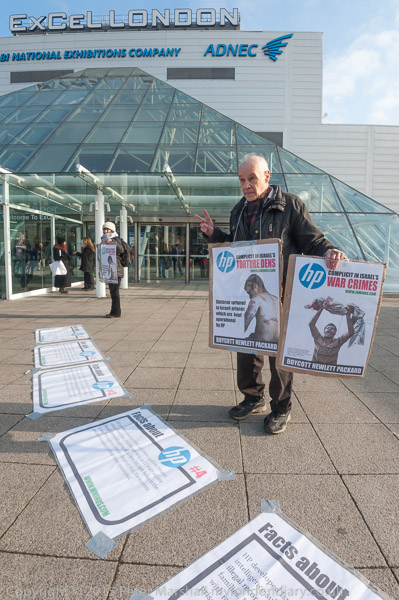
Or at least you can most of the time. But the area becomes a high security zone with the bridge closed when the Excel Centre is full of arms dealers selling often illegal arms to repressive regimes around the world – every other September. Fortunately it was June, though I was back there for the DSEI protests in September – and in other years.
The DLR also runs through the area on a viaduct, and from the train and the stations you also get some interesting views, though the train windows are often rather to dirty for taking photographs. That you are looking south from the line can also mean the sun is shining directly into the lens.
This is the Woolwich branch of the DLR and at Canary Wharf I changed onto a train towards Stratford, alighting at Pudding Mill Lane to walk up onto the Greenway. I arrived just too late to go into the View Tube there so I had to be content with making pictures from the Greenway which runs high through the area.
I’d begun making photogrfaphs here back in the 1980s, and had published some of these on my my River Lea/Lee Valley web site – and in the Blurb book ‘Before The Olympics‘, returning to the area occasionally and photographing it as it changed and particularly as the Olympic site developed. Progress on restoring the area to some useful purpose appeared to be very slow