Bow Creek and Poplar Panoramas: It was before Christmas that I posted the previous set of panoramic images I made in July 1994 along the DLR between Poplar and Beckton, DLR – Connaught Rd & Bow Creek 1994. Here is the final set I made then.

Another picture taken from the East India Dock Road, looking down at Wharfside Road and the sawmills with their address on Barking Road. The road layouts here have changed with the building of Newham Way flyover and I think Barking Road which earlier began at the ‘Iron Bridge’ over Bow Creek now only starts at the roundabout about 250 yards or so to the east.
As the noticeboard states the entrance to the site is from Wharfside Road on the opposite side of the road, and any driver unfortunate to read the sign would be faced with a long detour to reach it.
M&J Reuben Ltd was founded in 1895 and seems to have moved from the area in 2004 when the then managing director David Reuben retired. London Sawmills Ltd also had timber sheds at Hercules Wharf in Orchard Place closer to the mouth of Bow Creek.
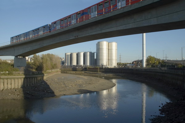
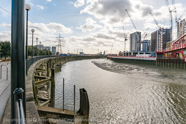
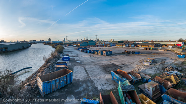
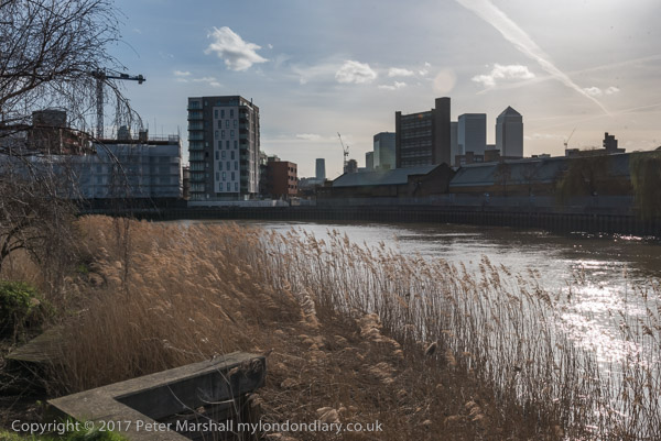
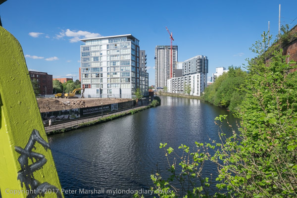
Bow Creek appears on both sides of this roughly 130 degree view, upstream at right, flowing under the bridges and in a long loop and coming up at the left past Pura Foods where London City Island now is, before turning round the other side of Pura foods to flow down to the Thames.

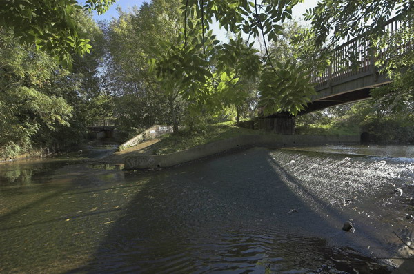
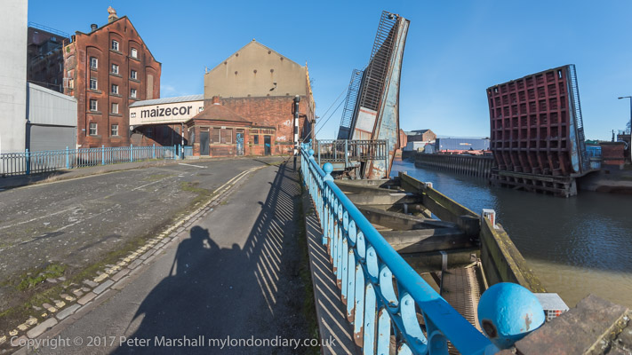
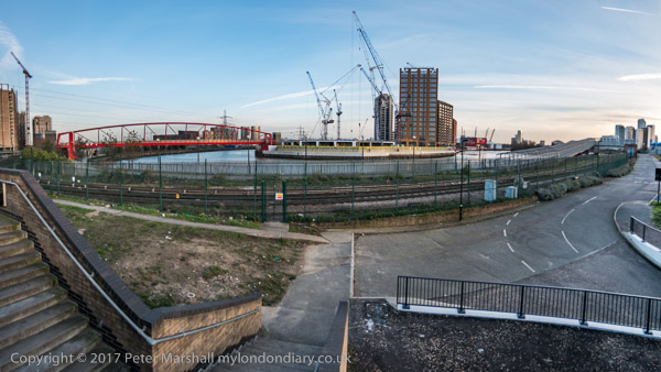
Moving a few yards to the west along East India Dock Road I made this picture standing on the bridge. The Iron Bridge, built in 1810, was the first road bridge to use cast-iron columns and made a new lower route across Bow Creek. It has now been replaced and the current bridge is concrete.
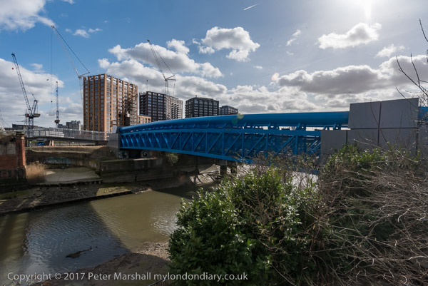
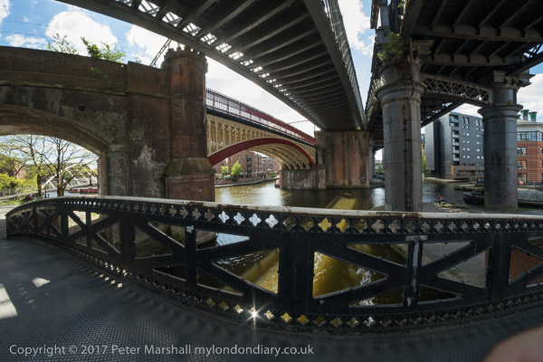
On the left of the river is Essex Wharf, with the sawmills out of picture to the left. The first bridge on the river, a pipe bridge for a large gas pipe, was demolished soon after, but its brick piers remain. The second bridge is now the ‘Blue Bridge’ though in my picture it is grey. A third, a disused single track rail bridge, is hidden by those in front.

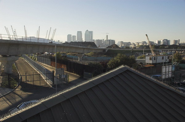
A little further on but I think still on or close to the East India Dock Road I made this picture looking across a construction site, the DLR, Bow Creek and Pura Foods. I think that the tunnel which connects East India Dock Road to Aspen Way is under the site here.

East India Dock Station on Aspen Way, looking west. At left is the Telehouse South and the Blackwall Tunnel ventilation shafts. Then along the horizon some 1930s council flats and buildings aroudn Canary Wharf including the tower. On the other side of the DLR viaduct is the Grade II listed former hydraulic pumping station in Naval Row and over the dock wall the ugly 1990s buildings on the former East India Dock.

Finally a view through the rear window of a DLR train on its way from Poplar to Canary Wharf. Poplar Station can just be seen under the long footbridge across the DLR and the Wes India Dock Road. At left is the DLR line towards Tower Gateway.
The next post in this series of my colour pictures will feature pictures made in July 1994 here and elsewhere using a normal camera.
Flickr – Facebook – My London Diary – Hull Photos – Lea Valley – Paris
London’s Industrial Heritage – London Photos
All photographs on this page are copyright © Peter Marshall.
Contact me to buy prints or licence to reproduce.