Isle of Dogs and Poor Doors: On Wednesday 3rd September 2014 the weather was fine with blue skies and clouds and I decided to spend the afternoon photographing in the Isle of Dogs before meeting with Class War for one of their ongoing series of protests against separate entrances for the wealthy and social housing residents of a tower block in Aldgate.
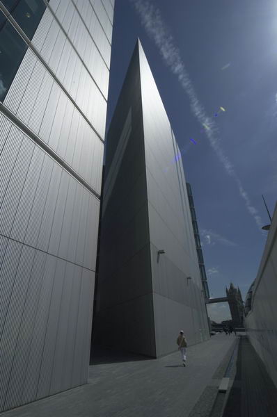
Isle of Dogs Panoramas – Island Gardens to South Quay
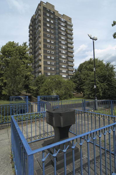
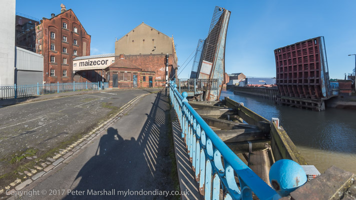
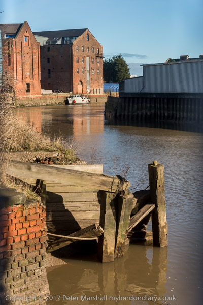
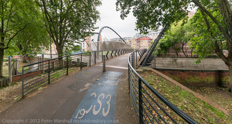
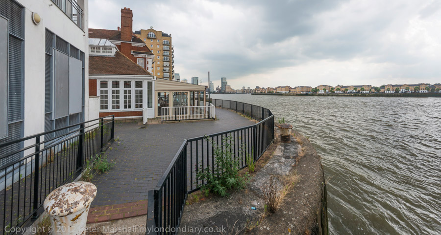
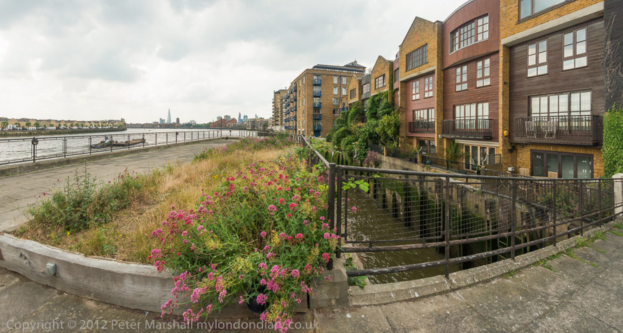
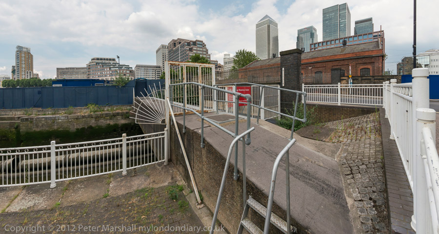
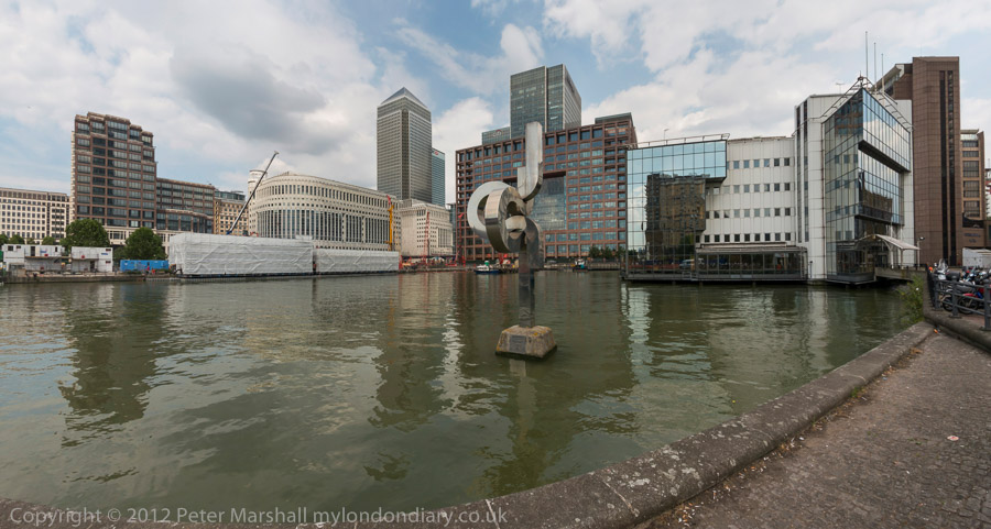
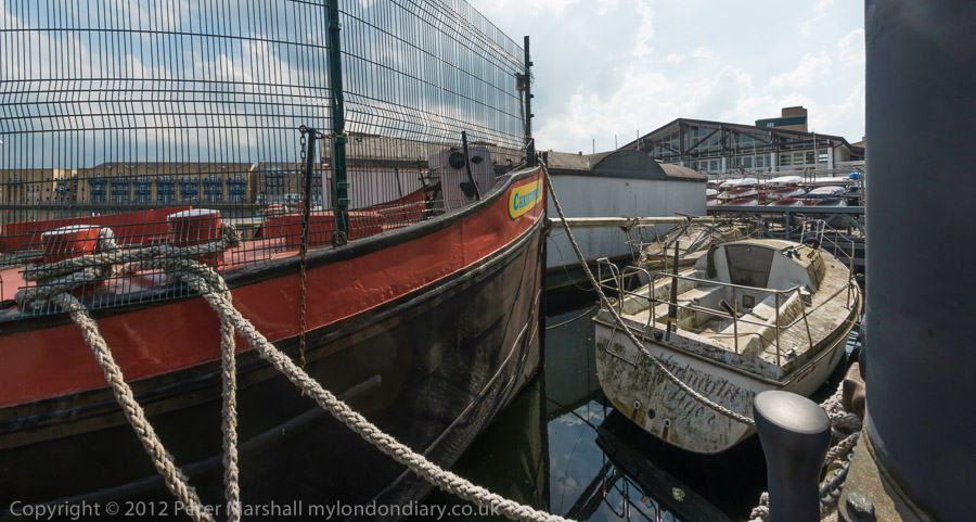
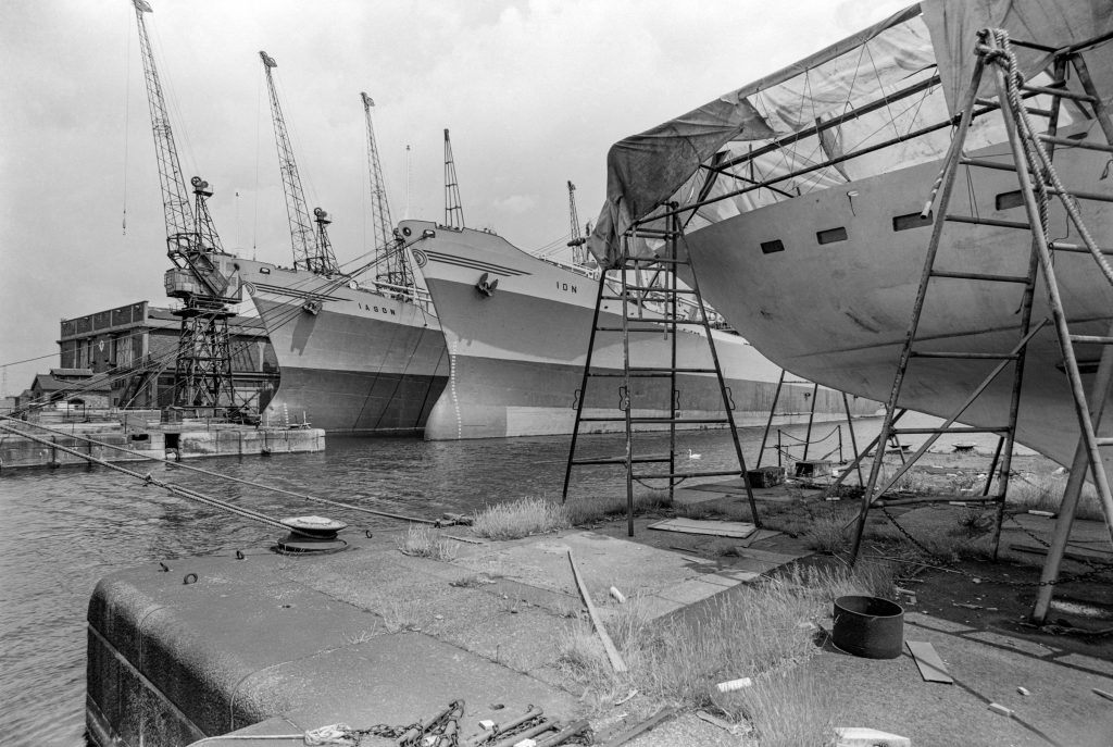
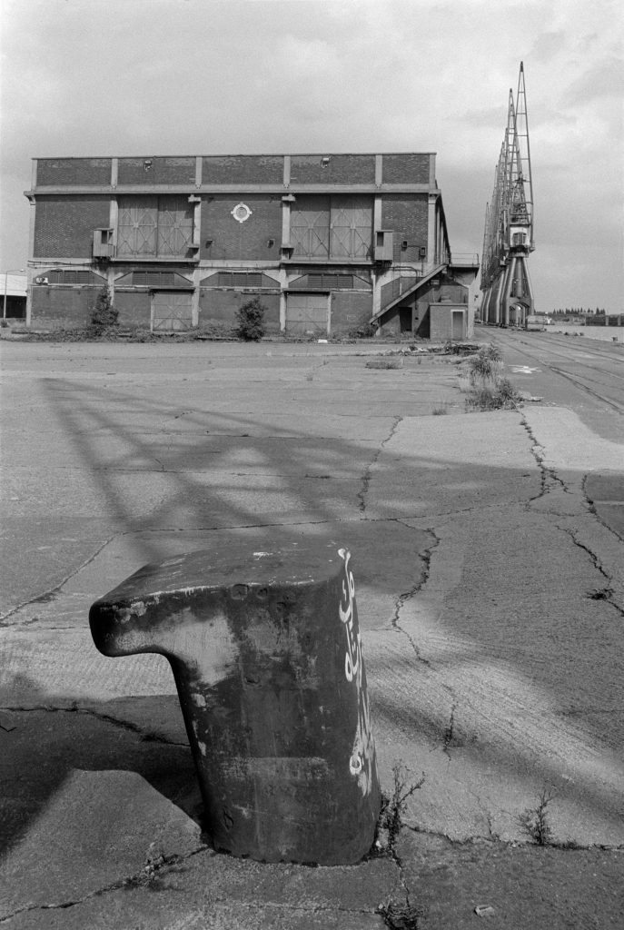
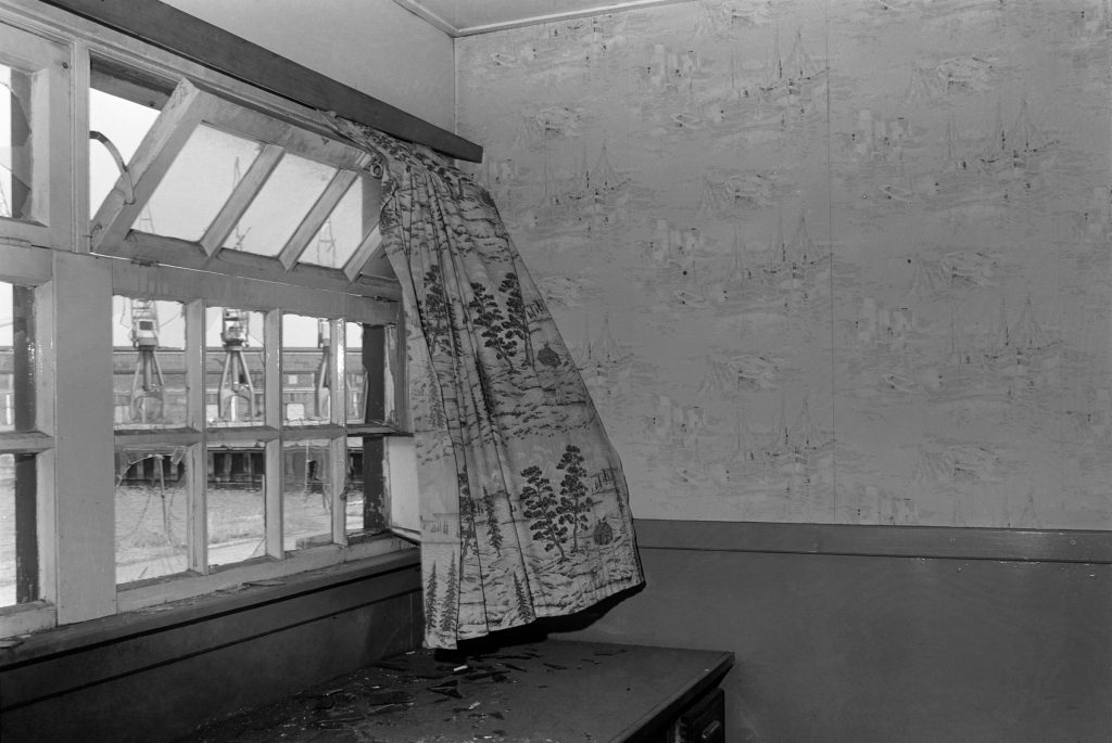
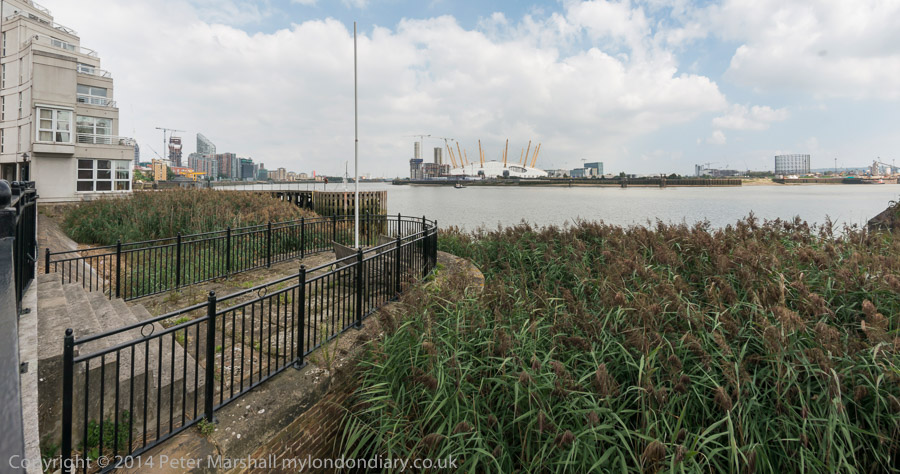
The main purpose of my visit to the Isle of Dogs was to make panoramas of scenes which I had photographed more conventionally over the years, including the black and white images that I included in my book ‘City to Blackwall‘ and more of them are now in my albums on Flickr.
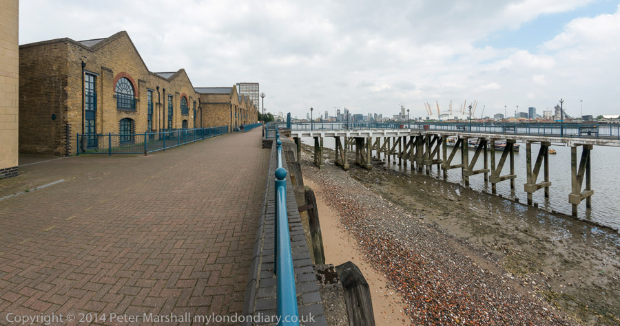
I had gone back so make some panoramas in the area in the 1990s and early 2000s, using various panoramic film cameras, but the switch to digital had made creating panoramic images much simpler for me.
Perhaps the most important change was in accurate viewfinding – with my first panoramic film camera the most accurate way to see the extent of my pictures was by viewing along two arrows on the top of the body – much more reliable than its viewfinder. But of course digital also gave a wider range of shutter speeds and ISO.
And to do this, the camera needed to be firmly mounted on a tripod – and I carried a rather heavy Manfrotto around with me. This also enabled me – with the aid of a spirit level – to ensure that the camera was level. The Nikon I used for these panoramas had level indicators in the viewfinder and was easy to use handheld.
However to make these on digital I needed to use a fisheye lens – the 16mm Nikon fisheye. Not the kind that gives a circular image, but a full-frame fisheye where the image circle goes through the corners of the frame. This gives a 180 degree image across the frame diagonal, but rather less horizontally and vertical, with considerable curvature of straight lines.
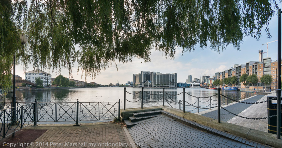
Software – I then used PTGUi for these – than comes to the rescue, converting the spherical perspective into a cylindrical one which rendered verticals upright (there are several ways this can be done with slightly different results.) Later I moved to simpler software.
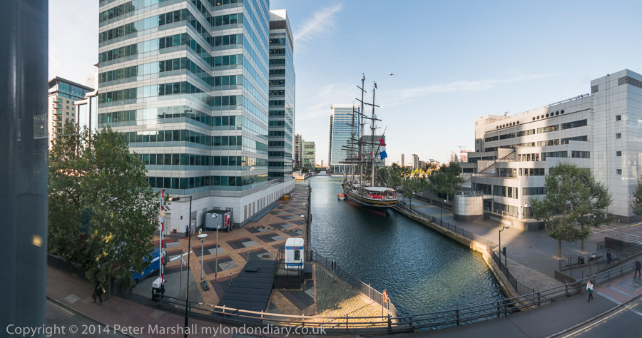
With the 36Mp Nikon D800E there were far more pixels than necessary even after this stretching and this was no longer a problem. I could work with single exposures rather than stitching together several images as I had done earlier with digital cameras.
Many more pictures at Isle of Dogs Panoramas.
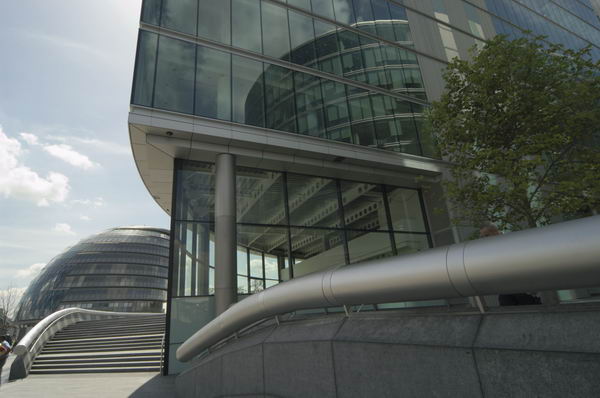
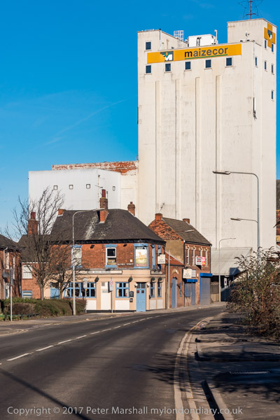
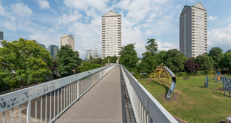
Isle of Dogs – Wideangle Images

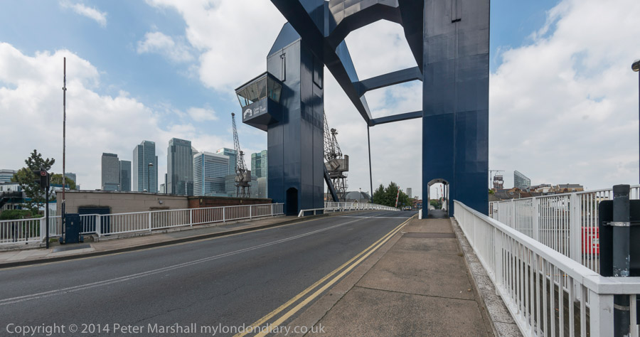
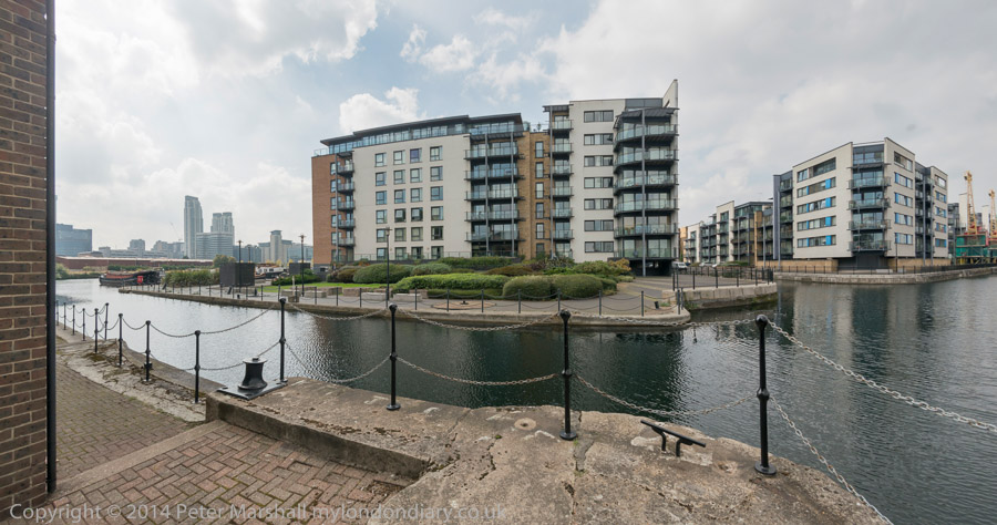
Although I had mainly gone to make panoramas I also took a Nikon D700 body and made pictures with a 16-35mm Nikon zoom. Not everything is best suited by the panoramic treatment.
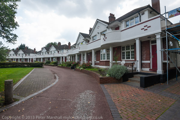
Again there are many more pictures at Isle of Dogs.
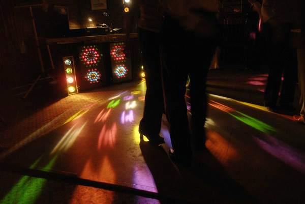
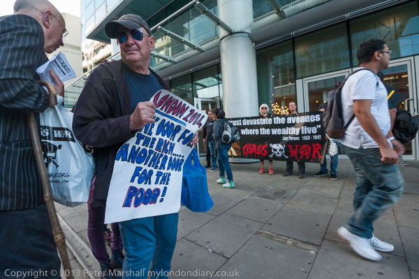
Class War ‘Poor Doors’ picket Week 6 – Aldgate
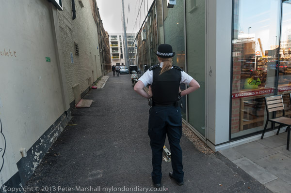
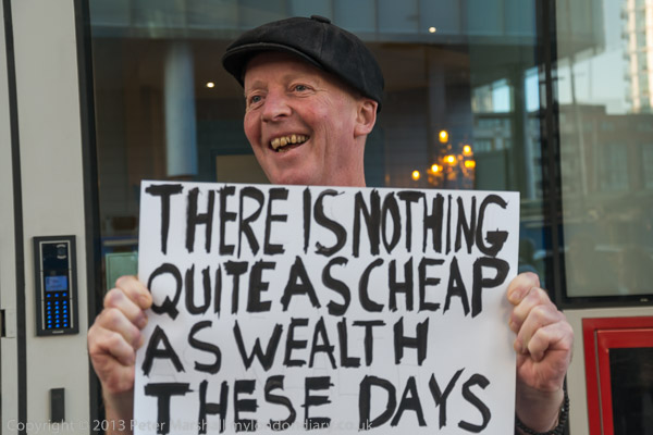
Class War and friends held their sixth weekly protest outside 1 Commercial St in Aldgate and it was a relatively uneventful one.
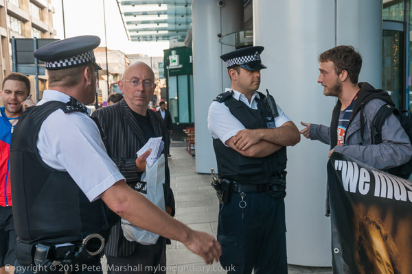
As the protesters arrived, two police officers came out from the building and talked with the protesters making clear that they expected the protesters not to block the doorway for people entering or leaving the building. More officers soon arrived to police the event.
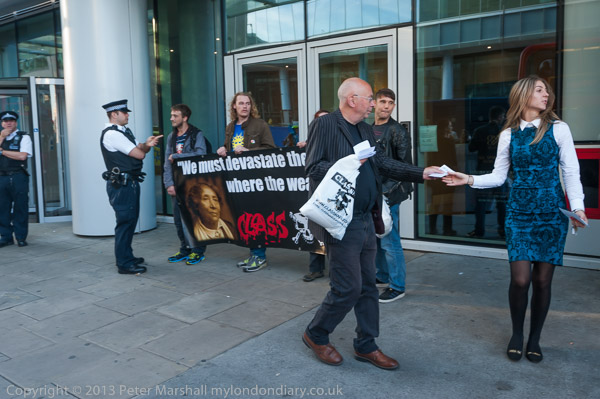
There were a few heated arguments between protesters and police but nothing of any consequence. The protesters held their banner well in front of the door.
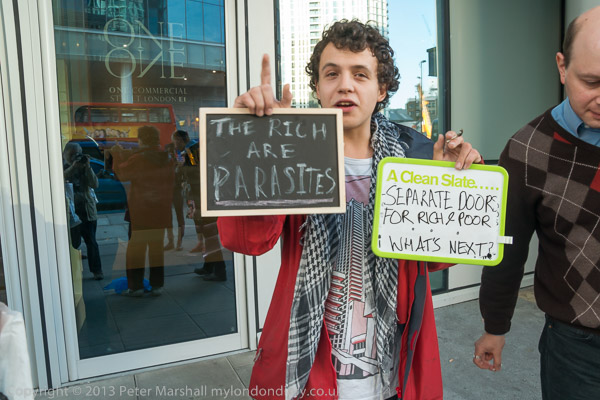
They talked and handed out leaflets to people leaving and entering the ‘rich door’ as well as to people walking past – and to at least one cyclist stopped at the traffic lights.
After keeping up the picket for an hour as intended, Class War packed up and left – until the next week.
More pictures – Class War ‘Poor Doors’ picket Week 6.
Flickr – Facebook – My London Diary – Hull Photos – Lea Valley – Paris
London’s Industrial Heritage – London Photos
All photographs on this page are copyright © Peter Marshall.
Contact me to buy prints or licence to reproduce.