Good Friday: On Friday 6th April 2007 I got up early and took a train to London to photograph several of the Christian walks of witness and other events taking place around London. The accounts and pictures of my day are still on My London Diary, but rather hidden away. So here is what I wrote (with the usual minor corrections) in 2007, with a few of the pictures and links to the rest.
Good Friday Walk of Witness: North Lambeth
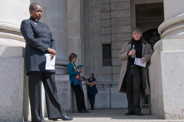
My day started in North Lambeth at 10am, where Churches Together gathered for a short service in the gardens at the front of the Imperial War Museum, before their walk of witness through the locality.
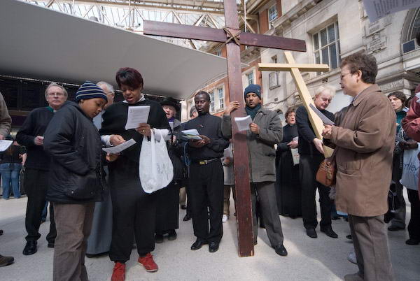
After a short services in a council estate, and the small neighbourhood park they met with others from St Johns, Waterloo for a service on the concourse of Waterloo Station, where I left them.
Distribution of the Butterworth Charity
St Bartholemew the Great, Smithfield

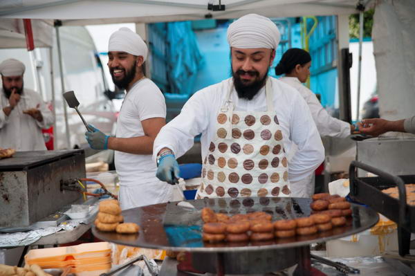
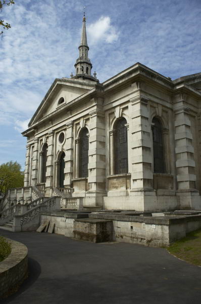
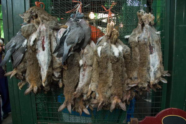
A number 4 bus took me close to London’s oldest church, St Bartholomew the Great in Smithfield, where the Butterworth Charity was to be distributed.

A member of the publishing company gave money in 1887 to ensure the continuation of the established custom of providing 6d (increased to 4 shillings in the 1920s) to 21 poor widows of the parish, and buns to children who came to watch the proceedings.
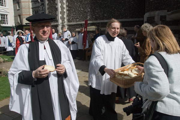
This year, no poor widows declared themselves and the buns were shared by all present.
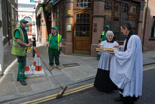
Even the workers on the street next to the church.
Good Friday Procession: St Mary’s Islington
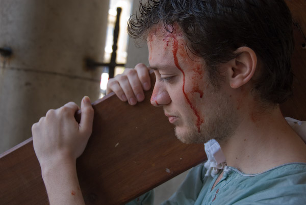
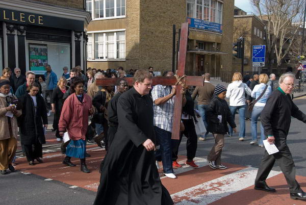
I left before the end of the service at St Bartholomews and despite just missing a bus and a long wait, caught the end of the procession through Islington to St Mary’s Church.
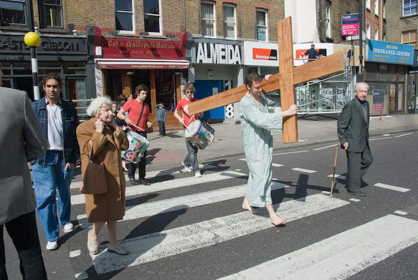
At first I failed to notice the large crowd making it’s way along the busy pavement rather than the road, and the noisy surroundings drowned out the two drums behind the bloody carrier of the Cross at its head.
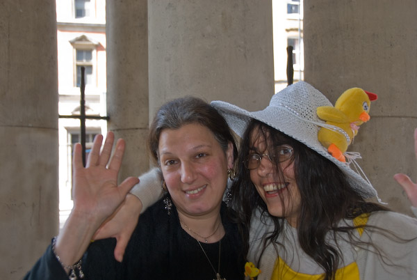
One of the women in the crowd behind had the best Easter Hat I met on the day, which contrasted rather with the sober black of her Ggreek friend.
Good Friday Open Air Service
Upper Holloway Fellowship of Churches, The Mall, Archway
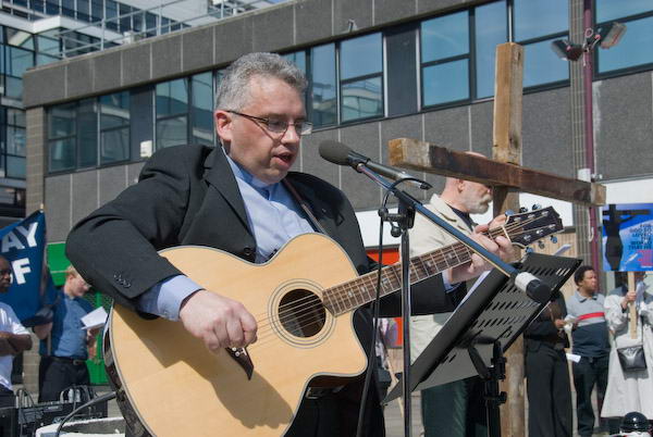
Another bus took us to Archway. However it was held up in the queue of traffic behind the march there, so I arrived just as the service was starting.
Perhaps 200 people had assembled and a lively service followed. The singing improved when the generator ran out of petrol, and I felt moved to join in.
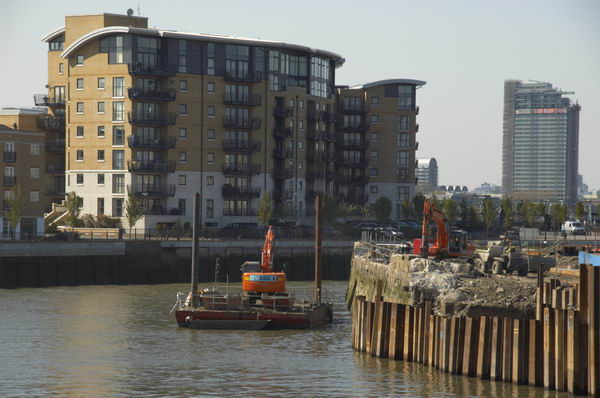
City, Thames & Borough Market
From Archway I took several buses to meet up with a friend in Borough Market, which in the past 10 years has transformed itself from dying old-fashioned fruit and veg business to catering for the an affluent mainly young ‘foody’ market. There is an incredible range of produce on sale now, and some at incredible prices. Some great stuff, some at surprisingly reasonable prices, but plenty of ripoff also.
I’d come here mainly to meet one of my friends who was photographing the would-be trendy young who where fluttering around its flame. But it wasn’t really my thing, and the Nikon I use wasn’t really the right tool for the job.
This was the end of what I wrote in My London Diary, and there are many more pictures on the links above. We soon get fed up with Borough Market and made our way to a nearby pub before going home.
Flickr – Facebook – My London Diary – Hull Photos – Lea Valley – Paris
London’s Industrial Heritage – London Photos
All photographs on this page are copyright © Peter Marshall.
Contact me to buy prints or licence to reproduce.