Posts Tagged ‘Walk’

Ravensbourne Walk – 2012

Tuesday, May 13th, 2025

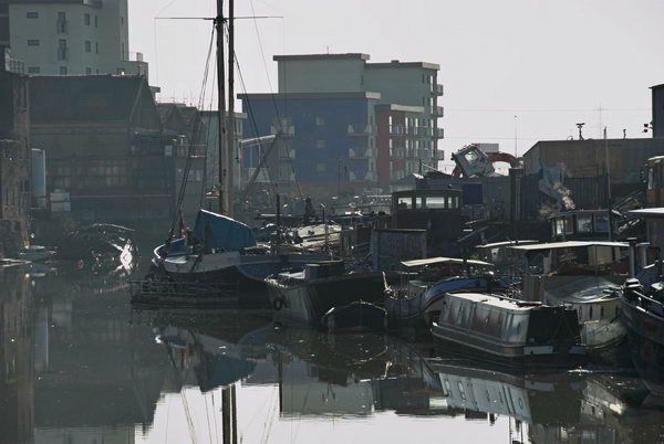
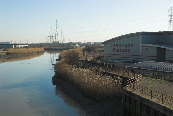
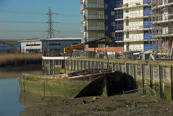
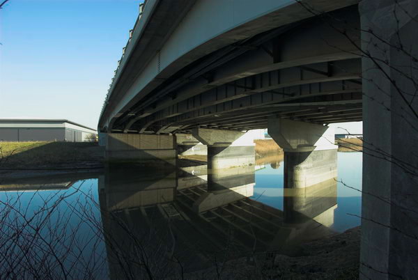
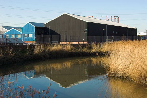
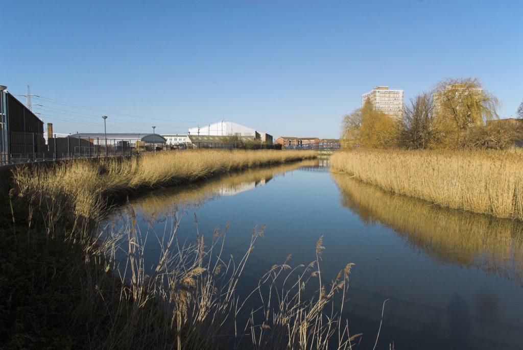
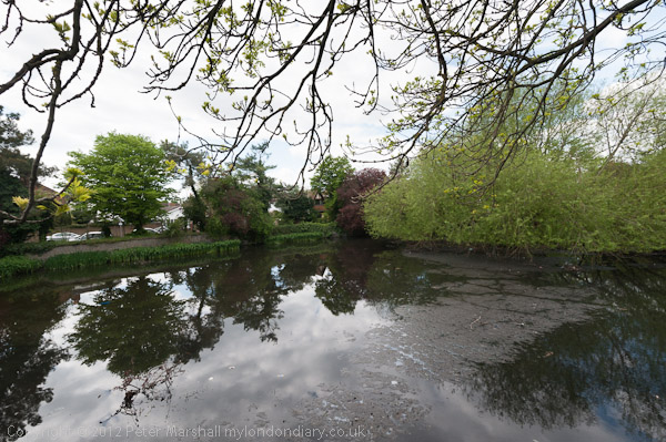
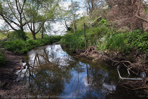
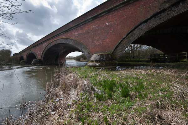
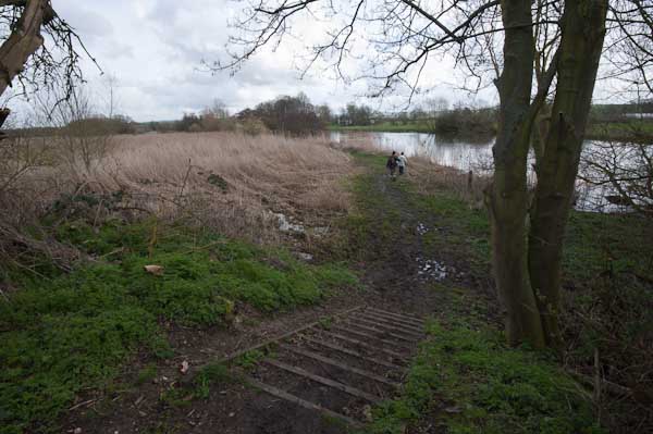
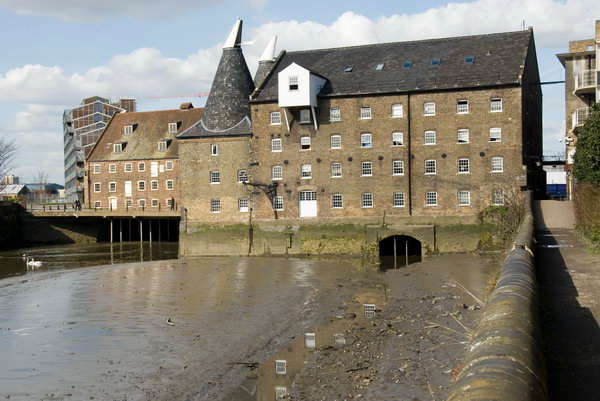
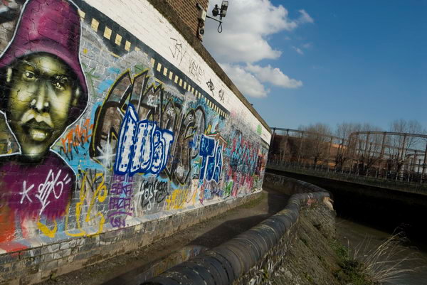
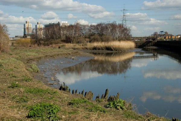
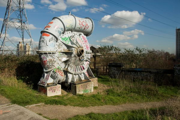
Ravensbourne Walk: On Sunday 13th May 2012 I decided to take a walk alongside one of London’s rivers, the Ravensbourne. It isn’t one of London’s best-known rivers and perhaps lacks the glamour of the so-called ‘lost rivers’.

The Ravensbourne still flows largely above ground, and its final tidal section before it enters into the Thames is the rather better-known Deptford Creek, once an important industrial area. It also once powered a number of mills along its length.

I’d decided not to begin at its source at Caesar’s Well in Keston but to join it around 4 miles to the north at Bromley where I could join it by a short downhill walk from Bromley South station. The area around Bromley has several culverted sections of the river and it emerges from one of these into a lake at the west of Church House Gardens, disappearing again for a short section before coming into the open in parkland in Martins Hill Open Space north of Glassmill Lane.

It then goes underground for around a quarter of a mile before appearing again along the edge of a golf course, but non-members have to walk along Ravensbourne Avenue before seeing it again at the bridge under Farnaby Road.

From there on the river flows in the open through Beckenham Place Park and I could walk beside it or close to it, having to weave my way through various roads in an estate here. Just to the east of the river on Brangbourne Road is a large council estate with blocks named after various rivers, mostly I think London Rivers, and a block on the corner with Old Bromley Road is Ravensbourne.

After a small green area on the corner of Bromley Rd and Beckenham Hill Rd which it then goes under to feed a large pond at Homebase. The map I was using for the walk shows this as a stream with a weir in the middle. Part was once the mill pond for Lower Mill, a corn mill (which was at different times a mustard mill and a cutlery mill) on the corner of Southend Lane. Upper Mill stood roughly here on the corner of Beckenham Hill Rd.

Overlooking the pond at Hoomebase I photographed the sculpture The Whisper, Andre Wallace 1984 and the church hall opposite. The river leaves the pound overground, emerging into the open again a couple of hundred yards on as it goes under Watermead Lane where it runs between houses and flats. You can follow this on a back-street but I took the more interesting route along the Bromley Road.

Allerford Rd

At Randlesdown Road it flows into the Catford Trading Estate, then goes under Fordmill Rd just north of the railway bridge. Shortly after here it joins what is usually called its largest tributary, the River Pool, though I think this is usually a larger river than the Ravensbourne, though shorter before continuing under Catford Road next to Catford Bridge Station.

It was a hot day, and I had done rather more walking around than the relatively short route taken by the river, and I was tired. I had intended to walk on to Lewisham or perhaps even Deptford, but abandoned my plans and caught a train here.

More pictures on My London Diary at Ravensbourne.


FlickrFacebookMy London DiaryHull PhotosLea ValleyParis
London’s Industrial HeritageLondon Photos

All photographs on this page are copyright © Peter Marshall.
Contact me to buy prints or licence to reproduce.

Thames Path – Cholsey to Shillingford – 2010

Thursday, April 3rd, 2025

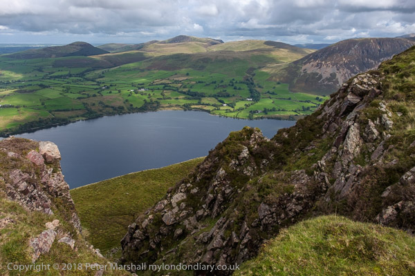
Thames Path – Cholsey to Shillingford: Pictures from a walk on Saturday 3rd April 2010 in South Oxfordshire from Cholsey station to a bus stop in Shillingford, mainly along part of the Thames Path, though with a few added detours, both voluntary and involuntary.

Thames Path - Cholsey to Shillingford - 2010

The Thames Path was officially opened in 1996, though I’d walked and cycled much of it in and around London many years earlier before and had made a very minor contribution to the consultation during its planning. I’d also photographed much further to the east along the Estuary on much of its English Coast Path extension from Woolwich to the Isle of Grain.

Thames Path - Cholsey to Shillingford - 2010
Brunel’s Moulsford Railway Bridge had earlier in the day taken us to Cholsey

From the early 1990s together with my wife and one or both my sons we often made walks in the South-East, including along the River Lea, the Pilgrims Way, the Grand Union Canal, the London Loop as well as various unnamed routes largely along public footpaths throughout the year and in all kinds of weather.

Thames Path - Cholsey to Shillingford - 2010

In the early 2000s we decided we would try to walk the parts of the Thames Path to the west of London, where we had only walked a few short sections, bought a guide to the path and a series of OS maps. We were still walking in other areas as well and it was not until April 2013 that we finally covered the section of the walk to the source.

Thames Path - Cholsey to Shillingford - 2010
Oxford University boat house at Wallingford was deserted – they were at Putney for the Boat Race

One of the reasons it took us so long was that we relied on public transport to get us to the river and back home at the end of each day’s walk. So the walk had to be divided up for us into short sections ending at a station or a bus stop and the further west we walked the scarcer these became. We managed to get a little west of Oxford a day at a time, but beyond Duxford (a short walk from Hinton Waldrist which had a bus service) there seemed to be nowhere we could sensibly reach or return to by public transport before or after a day’s walk.

Thames Path - Cholsey to Shillingford - 2010

In 2013 we did complete the walk, booking a couple of nights bed and breakfast on the way to the source to do so.

Thames Path - Cholsey to Shillingford - 2010

But back to April 2010. We travelled to Cholsey by train, changing at Reading, an easy and relatively short journey – less than an hour and a half. Cholsey isn’t on the Thames Path but it was only around a mile to walk to it, and then down to Moulsford Railway Bridge on the Thames itself.

War Memorial in the town centre (another detour from the path)

I’ll spare you the details of the walk though these are given at some length in the pictures and text on My London Diary – and of course in many text and online publications on the Thames Path.

Wallingford, the only major town on this section of the Path is well worth a visit – back in the day it had been “the most important town in Berkshire and had its own Royal Mint from the 10th to 13th centuries. Devastated by the Black Death, it became prosperous again in the 18th and 19th century with the river allowing it to trade with London and supporting thriving malting, brewing and ironfounding industries.”

But then came the railways and all Wallingford got was a short branch line, “now a preserved railway where I was dragged a rather tedious kilometre or so to see Ivor the Engine pulling out of the station on the edge of town.”

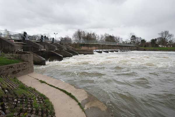
At Benson we crossed the river by a footbridge over the weir

We did also manage to miss the path in Wallingford, and make an interesting diversion before retracing our steps. We saw few other walkers, but in the Summer parts of the Thames Path get pretty crowded. But one advantage of following a national trail like this is that they are well waymarked and also never overgrown, though there are sometimes diversions.

Preston Crowmarsh

[Near to home we have one of these diversions in Egham, where a small bridge has been officially blocked since early 2024 and is expected to remain closed until at least 2026. The damage looks relatively minor and many walkers have continued to use the bridge despite the barriers erected.]

Shillingford Bridge

Above Wallingford the Path crosses to the opposite band of the river and goes to Benson and on to Shillingford. Here we walked away from the river to a bus stop and stood waiting for the Express bus to Reading at that time a roughly hourly service – and took an hour to get to Reading Station. Or at least I stood waiting but Linda decided to go for a walk and I had to stand in the bus doorway and persuaded the driver to wait as I shouted at her to rush towards us.

Thames Path- Cholsey to Shillingford


FlickrFacebookMy London DiaryHull PhotosLea ValleyParis
London’s Industrial HeritageLondon Photos

All photographs on this page are copyright © Peter Marshall.
Contact me to buy prints or licence to reproduce.


Bow Back Rivers, Plaistow & Upton Park – 2007

Saturday, March 8th, 2025

Bow Back Rivers, Plaistow & Upton Park: March 8th is of course International Women’s Day, and most years I’ve found events related to that to photograph, though often the main events take place not on the day itself but on the closest Saturday. In 2007 March 8th was a Thursday and I did something completely different, taking a stroll around the various rivers and channels to the south and west of the Olympic site.

Bow Back Rivers, Plaistow & Upton Park
Canning Rd from the Greenway

Many of the paths and roads I walked were soon to be closed for various works connected with the Olympics, including the building of a new lock. This was much heralded as being a part of making London 2012 green, with boasts that it would lead to a huge reduction in lorries taking spoil from the site out and bringing materials in to the area by barge. In fact I think it was only ever used for a few photo opportunities and the piece I wrote for My London Diary perhaps suggested the real driver behind its construction.

Bow Back Rivers, Plaistow & Upton Park
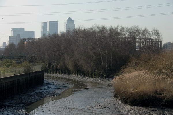
Channelsea River (now just a tidal creek)

Another unnecessary aspect of the Olympic development was putting the power lines between Hackney and East Ham underground, perhaps also more driven by the desire by developers of the area, now with its many new tall blocks flats more attractive and profitable.

Bow Back Rivers, Plaistow & Upton Park
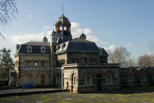
Abbey Mills pumping station (Charles Driver, 1865-8), the “cathedral of sewage”, viewed from the Greenway

There was also a very half-hearted attempt to use the rivers and navigation as a means of access to the games, with a river-boat service. It was said to be a part of opening up the area as a major leisure attraction, but didn’t ever work and was soon abandoned.

Bow Back Rivers, Plaistow & Upton Park
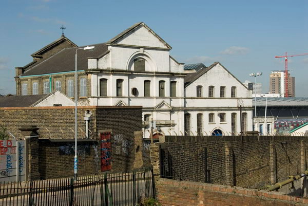
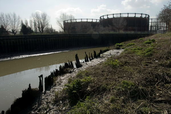
Longwall footpath, looking towards the gasholders over the Channelsea RIver.

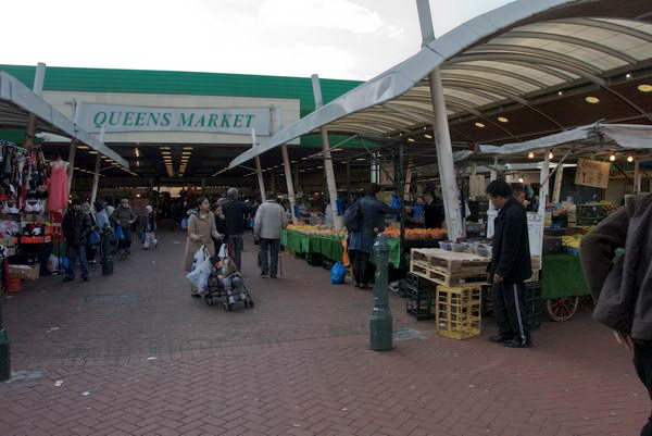
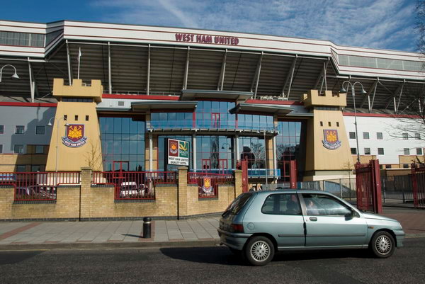
After walking around the area I walked east along the Greenway – the elevated walkway over the Northern Outfall Sewer – to Upton Park, also affected by the Olympics, with West Ham abandoning their Boleyn ground and moving to the Olympic Stadium after the games. Close to their ground is Queen’s Market, which Newham Council had being trying to demolish and redevelop since 2004. It is still currently under threat as it doesn’t fit with their dreams of gentrification but remains as an important community resource.

Channelsea Rvier and the island, with Abbey Creek to left

My post on My London Diary contains a lot of background but doesn’t really describe the walk I made – the pictures tell that story, along with their captions. It is rather more fanciful than most of my posts. As usual I’ve tidied it up slightly, changing to normal capitalisation and making a few minor amendments.

Bow Back Rivers – Prescott Lock Site

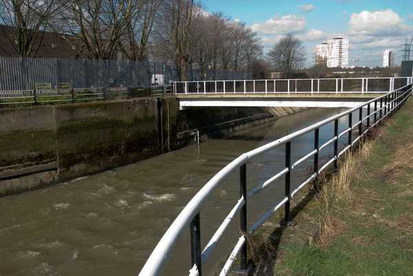
The tide flowing out fast from the Prescott Channel, officially opened in 1935

If you are a water molecule starting in the River Lea at Leagrave on the outskirts of Luton, your route to its mouth on the Thames can be rather convoluted – even assuming you don’t get diverted on the way for drinking by Londoners. Below Hertford the river runs in concert with the Lee Navigation, part river, part canal, and examining a map you would soon be confused.

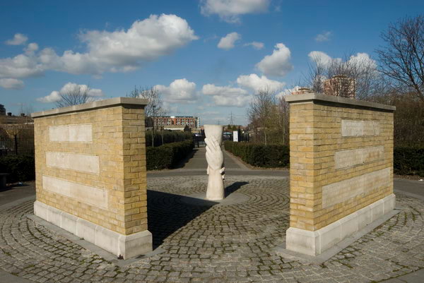
A memorial on Three Mills Green marked the heroism of distillery workers who died trying to rescue a workmate in 1901. The sculpture ‘Helping Hands’ by Alec Peevers replaced an earlier large cross

Since work by the Lee Conservancy Board and the West Ham Corporation started in 1931 and officially opened in 1935, the major flow of water in the southern area has been along the Flood Relief Channel (built in the 1970s following the 1947 floods) and the River Lea to Hackney Wick, and then along the Waterworks River, into the Three Mills Wall River and down the newly built Prescott Channel onward to Bow Creek and finally the Thames.

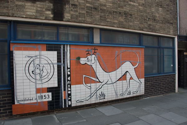
James Dane established Dane & Co. making news, letterpress and lithographic inks in Sugar House Lane in 1853. Recently much production had moved to Stalybridge.

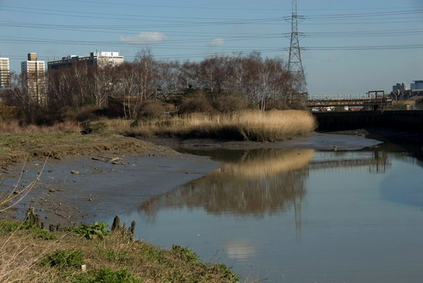
All of these streams have been fully tidal since the Prescott Sluice was removed in the late 1950s (at the same time as most of the Channelsea River was culverted and filled in). Also tidal are the vestigial sections of the Channelsea River and Abbey Creek to the south of Stratford. So in your molecular progress, you might well spend some days being flushed north by tidal inflow from the Thames and then flowing south as the tide falls.

Three mills complex from the south

Flushed with you, at least on around 50 stormy days a year, might be some considerable sewage overflow from Abbey Mills sewage pumping station into Abbey Creek, lending its sweet smell to the banks of these streams in the Olympic area. Largely to avoid the delicate athletes (and spectators) being thus nasally assaulted a new lock and sluice is to be built on the Prescott Channel.

It remains to be seen whether the promises that the back rivers will actually carry the suggested 170,000 lorry loads in and out of the Olympic site will be met [of course it wasn’t], but it would certainly seem to be a useful development for the area longer term, opening up more of these waterways for leisure and possible commercial use. Currently there is a navigable loop on the Bow Back Rivers from the Lea Navigation, using St Thomas’s Creek, City Mill River and the Old River Lea, although this may well be restricted for the Olympics. [It was, for many years.]

The Long Wall path took me back to where I had begun taking pictures on the Greenway

The footpaths crossing the Prescott Channel bridge will be closed mid-March [2007] for around 18 months to allow the lock to be rebuilt, so I thought it a good time to take some pictures before the work begins.

Also in some of the pictures are a number of the sites which have been the subject of compulsory purchase to put the power lines between Hackney and East Ham underground for the Olympics. There are two lines, one going just north of the Greenway and curving down south through the Channelsea River.

More pictures beginning on the March 2007 My London Diary page

Plaistow and Upton Park

In October 2006 I photographed a march asking Newham Council to keep Queen’s Market in Upton Park. Although it is an exceedingly ugly ensemble, not helped by poor maintainence and an utterly depressing choice of colours, it is still a great local resource. The market is perhaps the most ethically diverse in London, and many rely on it as a great source of cheap fresh foods and other goods. As well as the market stalls there are many small shops around the side of the market.

[There was] then an online petition at the government web site urging the prime minister to “to ensure that strategic street markets such as queen’s market, upton park are given proper protection against the combined threat of negligent local authorities and predatory property developers. as part of this we seek an open and transparent consultation process.”

We go down to our local market a couple of times most weeks. The fruit and veg is much cheaper than in the supermarket, and it is fresh and not wrapped in 7 layers of plastic. We’d hate to see it go, and can see why the people who shop at don’t want their market replaced with yet another supermarket, and less small shops and stalls.

But Queen’s Market could do with doing up, perhaps replacing the roof, new stalls, a rethinking of some of the central space in the development which is a kind of wasteland where guys sit with cans to make it a more pleasant and family-friendly space. It could be a real centre for Upton Park, perhaps with more shops, cafés with outdoor seating and some kind of performance area and perhaps a playground. I’d get rid of the pub too, or at least give it a complete makeover.

March 2007 My London Diary page


FlickrFacebookMy London DiaryHull PhotosLea ValleyParis
London’s Industrial HeritageLondon Photos

All photographs on this page are copyright © Peter Marshall.
Contact me to buy prints or licence to reproduce.


Bedford Park – 1989

Friday, February 7th, 2025

Bedford Park – 1989: This is the third post on my walk which began at Kew Bridge Station on 10th of December 1989. The previous post was Turnham Green – 1989.

House, Priory Gardens, Bedford Park, Turnham Green, Hounslow, 1989, 89-12a-12
House, Priory Gardens, Bedford Park,989, 89-12a-12

Conveniently a large plaque on the house tells me this is Prioy Gardens and gives the date of its construction, 1880. The London Borough of Hounslow street sign confirms the street name and tells me it is in Chiswick, true, but more specifically it is in Bedford Park. Yet a third street name can be seen on the wall of the house in case anyone was still in doubt.

This Grade II listed house at 1 Priory Gardens is a part of the Bedford Park Estate, “a pioneering commercial development of some 350 houses and a few public buildings built between 1875 and 1886 by inexperienced developer Jonathan Carr.”

The estate was planned “to create a community of like-minded middle class aesthetes who were defined by modest financial resources and significant artistic aspirations” and was generally regarded soon after as ‘The First Garden Suburb’ and had a great influence on later suburban housing.

The whole estate reflects the Queen Anne Revival style of the period which the listing calls ‘Picturesque‘ and is also known as Domestic Revival. Most of the houses and public buildings on the estate built before 1880 were designed by Richard Norman Shaw, the leading architect of this style, but this was one of the earliest by his protégé E J May who had taken over as Estate Architect. A planning application to demolish the house and develop the site was turned down in 1973 and it is now the headquarters of the Victorian Society.

Flanders Rd, Bath Rd, Bedford Park, Turnham Green, Hounslow, 1989, 89-12a-14

The Tabard Inn at the right of this row also dates from 1880 and is Grade II* listed, one of the public buildings in the area designed by Richard Norman Shaw. This building was was “a pioneering ‘improved’ pub and represented a rejection of the Gin Palace in favour of a more traditionally inspired and respectable inn” and retains much of its original interior features. The exterior of this group of properties was inspired by the well-known Staples Inn on High Holborn – which some may remember featured on tins of Old Holborn hand rolling tobacco.

To the left of the pub is the managers house, and closer to my camera at left are the Bedford Park Stores. Wikipedia has a long and interesting entry on this group of buildings. The stores later became a showroom for coachbuilder H. J. Mulliner & Co.

The buildings of Bedford Park which had become run-down and many in multi-occupation by the middle of last century were saved from ruin by an influential campaign by the Bedford Park Society and all of Carr’s buildings were listed in 1967. Ealing and Hounslow Councils created conservation areas covering the estate in 1970.

Houses, Rupert Rd, Priory Avenue, Bedford Park, Turnham Green, Hounslow, 1989, 89-12a-16

This is I think 15 Priory Avenue, one of 4 houses at the crossroads with Rupert Road, where I could have faced in any direction and photographed a listed house, or walked down either of the roads lined with them. I think this was the most distinctive corner, but it was a rather overwhelming ensemble.

Wendy Wisbey Agency, Bath Rd, Bedford Park, Turnham Green, 1989, 89-12b-63

Back on the Bath Road the Wendy Wisbey theatrical agency, address 2 Rupert Road, occupied what had previously been The Phildene Stage School. In 2010 it became part of Orchard House School, now part of Dukes Education.

This was another building designed by Richard Norman Shaw. Unfortunately because of the mass nature of the listing of buildings in this area the listing text is almost devoid of any information.

Wendy Wisbey Agency, Bath Rd, Bedford Park, Turnham Green, 1989, 89-12b-64

Another picture of this agency which was also a dance school which shows the fine window at the east of the Bath Road frontage.

Houses, Bedford Park, Turnham Green, 1989, 89-12b-51

Another picture from Bedford Park showing some rather less grand houses. I can no longer recall the exact location – perhaps someone wlll be able to recognise it.

St Michael & All Angels', Parish Hall, Woodstock Rd, Bedford Park, Turnham Green, ,1989, 89-12b-44
St Michael & All Angels’ Parish Hall, Woodstock Rd, Bedford Park, Turnham Green, ,1989, 89-12b-44

The Parish Hall adjoins the church and is listed together with it. The church by Richard Norman Shaw was built in 1880 as a central element in the new Bedford Park Estate, but the parish hall was a later addition in 1887. The front of the church and the hall face The Avenue but there is a small grassed area in front and the street sign in the photograph is for Woodstock Rd.

The central pillar seems remarkably stout and the decorative ironwork includes two angels above each door.

I left the church and walked down past Turnham Green Station to Chiswick High Road to continue my walk. More later.


FlickrFacebookMy London DiaryHull PhotosLea ValleyParis
London’s Industrial HeritageLondon Photos

All photographs on this page are copyright © Peter Marshall.
Contact me to buy prints or licence to reproduce.


Turnham Green – 1989

Saturday, February 1st, 2025

Turnham Green – 1989: The second post on my walk which began at Kew Bridge Station on 10th of December 1989. The previous post was Kew Bridge & Gunnersbury 1989.

Empire House, Chiswick High Rd, Turnham Green, Hounslow, , 1989 89-12a-64
Empire House, Chiswick High Rd, Turnham Green, Hounslow, 1989 89-12a-64

It might be thought odd that this tall office building which was built starting in 1959 should have been called Empire House, when the British Empire was almost completely gone, but the Empire from which this tower got its name was the Chiswick Empire, built for theatre owner and manager Oswald Stoll at 414 Chiswick High Road, replacing some shops and a smithy which opened in 2012.

The architect was the leading theatre architect Frank Matcham and it was a grand example of the Edwardian ‘Jacobean’ style. Built to seat 4,000 it featured mainly variety shows, but also more serious theatre and perhaps was in its heyday in the 1940s and early 50s. Wikipedia has a great list of some of those who appeared in its final years “Tommy Cooper, Max Miller, Max Bygraves, Julie Andrews, Morecambe and Wise, Ken Dodd, Max Wall, Dickie Valentine, the Ray Ellington Quartet, Peter Sellers and Dorothy Squires (1952), Laurel and Hardy on a return visit (1954), Al Martino, Alma Cogan, Terry-Thomas (1955) and Cliff Richard (1959).” Cliff wasn’t quite the man who brought the house down, with the final shows being by Liberace with the theatre being demolished within a month of his stepping away from the piano.

I don’t know who was the architect responsible for Empire House. It has recently been bought and redeveloped into flats and town houses.

Sandersons Wallpaper. Factory, Barley Mow Passage, Turnham Green, Hounslow, 1989, 89-12a-52

This elegant wallpaper factory was designed by C F Voysey and built in 1902. It was the only commercial building designed by the celebrated Arts & Crafts architect and designer and is Grade II* listed.

Arthur Sanderson & Sons Ltd, now just Sanderson, was founded in Islington in 1860 and made fabrics and wallpaper. The company came to Chiswick in 1879 and this building was an extension on the other side of the road to their earlier factory, built in 1893. After a fire in 1928, the company moved to Perivale selling off the Voysey building. They had also built a factory in Uxbridge in 1919 to produce fabrics. Sandersons moved back to into the Voysey building in 2024.

Sandersons had bought the business of Jeffrey & Co who had printed William Morris’s wallpapers and in 1940 when Morris & Co dissolved they also bought the rights to use the Morris name.

House, Dukes Avenue, Turnham Green, Hounslow, 1989, 89-12a-41

Dukes Avenue runs south from Turnham Green towards Chiswick House. Lord Burlington’s grandson was able after the Chiswick enclosures act of 1814 to build the road from his estate to Chiswick High Road. The road is lined with lime trees.

Houses along here seem seldom to be sold, but one went recently for over £3 million. Most appear to be large, solid and Edwardian but of no great interest.

Gateway, House, Dukes Avenue, Turnham Green, Hounslow, 1989, 89-12a-42
Devonshire Works, Dukes Avenue, Turnham Green, Hounslow, 1989, 89-12a-43

This former Sandersons factory, the “Devonshire works”, was used for light engineering in the 1960s by Evershed & Vignoles of Acton Lane. From 1971 it stood empty until restored by the Cornhill Insurance Co. as the Barley Mow Workspace, for individuals or small firms of designers or craftsmen, the first of whom arrived in 1976.”

Devonshire Works, Dukes Avenue, Turnham Green, Hounslow, 1989, 89-12a-44

After Lord Burlington who built Chiswick House died the property was inherited by the Dukes of Devonshire. I think this works probably dates from 1893.

Chiswick Memorial Club, Afton House, Bourne Place, Turnham Green, Hounslow, 1989, 89-12a-45

Afton House, built around 1800 is the only remaining example of the grand houses which were bilt in around 1800 along Chiswick High Road, and it Grade II listed. In the 1850s it was called Falkland House and was a school, but was renamed Afteon House in 1861. From then until 1887 it remained a school but then became a laundry until 1913. Empty and bcoming derelict it was bought in 1919 by Dan Mason of the Chiswick Polish Company (best remembered for their Cherry Blossom Shoe Polish) and given as a club for ex-servicemen.

Linden Gardens, Chiswick High Rd, Turnham Green, Hounslow, 1989, 89-12a-34

Dr Ralph Griffiths who founded the Monthly Review and edited it for 50 years was one of the many “noble, artistic and scholarly residents” of the area in the 18th century and he lived in Linden House where Linden Gardens now is. He was a London bookseller and publisher Ralph Griffiths, with “bookshops at St. Paul’s Churchyard from 1747 until 1753, then at 20 Pater Noster Row until 1759, and finally on the Strand near Catherine Street until 1772 – all under the sign of the Dunciad.”

Griffiths was notably involved in the 1746 publication of Acanius or the Young Adventurer, a fictionalized account of the Young Pretender, and may have been its author. The government attempted unsuccessfully to suppress the book and it remained in print for over 150 years.

Chiswick Fire Station, Chiswick High Rd, Turnham Green, Hounslow, 1989, 89-12a-36

Chiswick Fire Station at 197 Chiswick High Road is an elegant building with a tower and is now a bar and restaurant. It was for sale when I made this picture. Built in 1891 the tower at right was used to hang up fire hoses to dry and also to store the long fire escape ladder. A new fire station was built in 1963 and this became redundant.

War Memorial, Turnham Green, Hounslow, 1989, 89-12a-26

Erected in 1921 ‘In grateful and affectionate memory of the men of Chiswick who fell in the Great War, 1914 – 1918’ this simple obelisk is a rather plain reminder of their sacrifice designed by Edward Willis FSI, Engineer and Architect to the Chiswick Urban District Council. More names were added after the Second World War. There seems to be little reason to justify its Grade II listing

I walked on to Bedford Park. More from there in a later post .


FlickrFacebookMy London DiaryHull PhotosLea ValleyParis
London’s Industrial HeritageLondon Photos

All photographs on this page are copyright © Peter Marshall.
Contact me to buy prints or licence to reproduce.


Kew Bridge & Gunnersbury 1989

Friday, January 31st, 2025

Kew Bridge & Gunnersbury 1989: I didn’t get our for a walk again in 1989 until the 10th of December, probably partly because of the weather with drizzle, mist, fog and some very cold days. But it was just a little warmer and I decided to go out. But at this time in London sunset is before 4pm and so I decided to take pictures fairly close to home so I could make an earlier start. Kew Bridge station is only around a half hour journey from my home.

Brentford, from Footbridge, Kew Bridge Station, Kew Bridge, Hounslow, 1989 89-11i-42

I made my first picture from the footbridge in the station taking me to the station exit. As you can see the station buildings were in pretty poor condition. The view includes the local landmark water pumping tower and the top of the engine house of Kew Bridge Engines, opened as a remarkable museum in 1975 (now renamed as London Museum of Water & Steam) and the tower blocks further down Green Dragon Lane. Six 23 storey blocks were built here as the Brentford Towers Estate in 1968 to 1972 by the London Borough of Hounslow.

Green Dragon Lane apparently got its name from a 17th century pub but there appears to be no record of where this was, though there are or were around 40 other pubs of that name elsewhere in the country. The name is usually thought either to have come from the Livery Badge worn by servants of the Herbert family, the Earl of Pembroke, which showed a bloody arm being eaten by a dragon or a reference to King Charles II’s Portuguese Catholic queen, Catherine of Braganza whose family badge was the Green Wyvern.

Kew Bridge station gets rather crowded at times now, as Brentford’s new football stadium is next door.

Spenklin House, Gunnersbury Avenue, Gunnersbury, Hounslow, 1989 89-11i-46

I walked up to Gunnersbury Avenue where on the north-east corner of the Chiswick roundabout was this magnificently derelict former works of Spenklin Ltd. They appear to have made Power-operated work clamping devices and other engineering tools including boosters, clamps, cylinders and hydraulic ram heads. The company name was a contraction of Spencer Franklin. I think the next factory along – demolished by the time I took this – had been Permutit water softeners.

I think this building probably dates from around 1925 when the Brentford Bypass – soon better known as the Great West Road – was opened. The roundabout here came later along with its flyover in 1959.

Spenklin House, Gunnersbury Avenue, Gunnersbury, Hounslow, 1989 89-11i-31

A closer view of the entrance with its boards showing it had been acquired by Markheath Securities PLC a London property developer, though 49 per cent owned by The Adelaide Steamship Co Ltd. They appear to have been responsible for several developments in the area and to have made Section 106 contributions to Hounslow Council for improvements to nearby Gunnersbury Park.

National Tyres, Gunnersbury Avenue, Gunnersbury, Hounslow, 1989 89-11i-33

My memory – often false – tells me that this was on the west side of Gunnersbury Avenue (the North Circular Road) to Spenklin House and I think is probably from the same era. At least it is clear what the business of the National Tyre Service was and the building has a rather fine squad of Michelin men.

Chiswick Rd, Acton Lane, Chiswick Park Station, Chiswick Park, Houslow, Ealing, 1989 89-11i-36

Quite a long walk along Chiswick High Road took me to Acton Lane where I took this picture on the corner of Chiswick Road. A station was built here in 1879 when the District Railway was extended from Turnham Green to Ealing Broadway, but clearly that in the distance here is from the 1930s.

On the corner we have a rather unremarkable post-war building but with some rather remarkable Christmas decorations. The long shop front is now divided into separate shops.

Chiswick Park Station, Chiswick Park, Ealing, 1989 89-11i-23

A closer view of Chiswick Park Station, one of many characteristic stations by architect Charles Holden for London Underground and built in 1931-2. Holden’s first complete Underground stations were built on the Northern Line southern extension from 1926, but he later designed many more. This station remains almost as it was built and shares its features with many of his others. It was Grade II listed in 1987.

Chiswick Park Station, Chiswick Park, Ealing, 1989 89-11i-1

The interior of the tall drum-shaped ticket hall with a shop, Midas Gold Exchange at right. Useful signs above the exit tell the way to buses and to Acton Green, while the lower advertising panels are all for Underground posters. The Underground were pioneers in various ways in advertising – not least in the tall tower at this and other stations whose main if not only purpose was to carry their branding with the trade-mark roundel and station name.

I think the brick building at left which I think housed the ticket office was perhaps a later addition to the building which otherwise has been altered little.

To be continued.


FlickrFacebookMy London DiaryHull PhotosLea ValleyParis
London’s Industrial HeritageLondon Photos

All photographs on this page are copyright © Peter Marshall.
Contact me to buy prints or licence to reproduce.


London Walk January 2006

Monday, January 20th, 2025

London Walk January 2006: I now have no idea why I spent around two and a half hours wandering around London on the afternoon of 20th January 2006, but the pictures tell the story of my route. These images are a selection from a rather larger number I actually made. [The pictures are larger than they appear in this post and you may download them, but like all pictures on this blog are copyright; they must be attributed if posted on social media and a licence is required for any commercial use.]

London Walk January 2006
© 2006, Peter Marshall

I suspect I was going to some evening event and simply took advantage of some fine weather to go up earlier and take some pictures. The first one shows some of the sculptural detail above the outpatients entrance of the former Royal Waterloo Hospital for Children and Women on Waterloo Road the roundabout close to the station, where I will have arrived by train.

London Walk January 2006
© 2006, Peter Marshall

I then walked on to Waterloo Bridge, pausing to take a picture of the National Theatre, with the roof of the film museum in the foreground.

London Walk January 2006
© 2006, Peter Marshall

There was an exhibition ‘after the wave’ on square pillars in front of the National Theatre which rather seemed to echo the shape of the building.

London Walk January 2006
© 2006, Peter Marshall

On Waterloo Bridge I took several pictures looking downstream across the River Thames, this one concentrating on the north bank and St Paul’s Cathedral.

© 2006, Peter Marshall

A wider view shows boats moored in the river and the skyline of London, now rather more crowded.

© 2006, Peter Marshall

Another with St Paul’s at the left .

© 2006, Peter Marshall

On Strand I photographed this lion and two Chinese men relaxing above Twinings, providers of tea to the Queen.

© 2006, Peter Marshall

And these fine fish on Lloyds Bank Law Court Branch at 222 Strand, then still open as a bank – it closed in 2017. It had been called the most beautiful bank in the country. The fish are presumably because this Grade II listed building was built in 1882 by Goymour Cuthbert and W Wimble for the Palsgave Restaurant for the Royal Courts of Justice opposite and was only taken over by Lloyds in 1894.

© 2006, Peter Marshall

Some fine ironwork and a beehive above the doorway to the bank.

© 2006, Peter Marshall

Above the doorway at 193 Fleet Street is this figure of statue of Kaled, the page of Byron’s Count Lara by Giuseppe Grandi, dating from 1872. More about it on Ornamental Passions.

© 2006, Peter Marshall

The building was built for pawnbrokers George Attenborough and Son in 1883 and has some fine sculptural detail including these winged lions, on either side of the wrought iron support from which originally the pawnbrokers three balls were hung. The Latin motto underneath is ‘Sub Hoc floresco‘, Under This I flourish.

© 2006, Peter Marshall

On each side of the clock of St Dunstan’s in the West on Fleet Street are the two mythical giants, Gog and Magog (Corineus and Gogmagog) described in the biblical book of Revelation as the allies of Satan against God when we come to the end of days, but also the guardians of London – and the City is surely on Satan’s side as the money laundering capital of the world. They strike the chimes for the clock here, said to be the oldest public clock in London.

My walk continued – and I’ll post some more from it at some later date. You can already see some of the pictures on My London Diary.


FlickrFacebookMy London DiaryHull PhotosLea ValleyParis
London’s Industrial HeritageLondon Photos

All photographs on this page are copyright © Peter Marshall.
Contact me to buy prints or licence to reproduce.


Crouch End & Upper Holloway – 1989

Sunday, January 12th, 2025

The final post on my walk on Sunday 19th November 1989 which had begun in Highgate. You can read the previous part at A Reservoir, Flats, a Cockerel and a Café.

Gateway, Albert Mansions, Crouch Hill, Crouch End, Islington, Haringey, 1989 89-11i-61
Gateway, Albert Mansions, Crouch Hill, Crouch End, Haringey, 1989 89-11i-61

I walked down Haslemere Road and then turned down Vicarage Path, following this to Crouch Hill.

Albert Mansions, described by various estate agents as “a hidden gem in Crouch Hill” dates from 1903. Although the driveway is clearly marked ‘PRIVATE residents only‘, Vicarage Path goes past the building and emerges at the side of the left gatepost in my photograph. I clearly found this gateway more interesting than the actual mansion building where three and four bedroom leashold flats now sell for approaching a million.

House, Heathville Rd, Highcroft Rd, Crouch End, Islington, 1989 89-11i-64
House, Heathville Rd, 6, Highcroft Rd, Crouch End, Islington, 1989 89-11i-64

I walked down Crouch Hill and turned west down Ashley Rd. When I reached Highcroft Road I saw an interesting roof a short distance down and walked up to take this picture. Taken from just across the street it rather fails to show clearly the pyramidal cap to the roof, which is more evident in the previous frame (not on-line) taken of the row along this side of the street. But does give a good idea of the architectural detailing, including a fancily written date which I can’t quite read but is perhaps 1897 or 9 and a rather striking head – I wondered who was the model for this intense face. I’m rather suprised that this building does not appear to be locally listed

House, Highcroft Rd, Crouch End, Islington, 1989 89-11i-65

This locally listed house at 3 Highcroft Road was built in 1875 as the vicarage to St Mary’s Church opposite, and has rather fine porch with a somewhat ecclesiastical look. Like many of the large vicarages provided for Victorian clerics who were expected to have large families and servants I imagine it was sold off some years before I made the picture.

Houses, Hornsey Rise, Upper Holloway, Islington, 1989 89-11i-66

I returned to Ashley Road, walking past St Mary’s church without photographing it. Most of our Anglican churches seem to have been photographed time after time from the Victorian period on, not least because many vicars with time on their hands took up photography as a hobby. I seldom chose to add to the multitude.

There is a line of similar fine houses between Ashley Road and Shaftestbury Road, at 2-20 facing Elthorne Park, but I chose to photograph these because of the wall with its sculptures and irorwork in front of what I think was 6 Hornsey Rise. The wall and ironwork are still there but the figures next to the pavement have long gone. At the right of the picture you can see the Shaftesbury Tavern.

House, Hornsey Rise, Upper Holloway, Islington, 1989 89-11i-53

Hornsey Rise was developed from 1848, although it only got the name almost 40 years later replaceing the different names of various short lengths such as this. This picture gives a closer view of one of the two ornamental gates and the house , with the doorway to number 4 at the right of the image.

The Shaftesbury Tavern, Shaftesbury Rd, Hornsey Rise, Upper Holloway, Islington, 1989 89-11i-54

This pub at 534 is the last building on Hornsey Road, which becomes Hornsey Rise beyond Shaftesbury Rd. According to its local listing it “was built in 1858, by speculative builder Thomas Beall, as the area around it began to be developed. It is a handsome well-preserved building with contrasting brickwork in red and London stock, and pilasters and arches at the upper storey level.

I choose to photograph not the main pub building but its “1897 addition” on Shaftesbury Rd. However CAMRA states that the pub itself was built “in 1897 with rich wood and glasswork, so typical of the golden age of pub-building.” Looking at the pub exterior I am inclined to believe them and the current building probably replaced or significantly altered Beall’s. As they also state, “The pub was restored in 2014 from a ‘very tired’ state by the small pub chain Remarkable Restaurants Ltd“.

Shops, Fairbridge Rd, Hornsey Rd, Upper Holloway, Islington, 1989 89-11i-55

I continued walking down Hornsey Road I photographed this handsome late Victorian building at 471 Hornsey Rd on the corner with Fairbridge Road. Then it was a timber merchant with T C TIMBER on the first floor corner blind window and a rather jaunty-looking painted figure of a town crier in ancient dress looking like a poor piece of advertising clip-art in that above it on the second floor. The shop is now Hornsey Carpets and that figure now looks very washed out and on the first floor is some strange image I make no sense of.

Kokayi, Supplementary School, Hanley Rd, Upper Holloway, Islington, 1989 89-11i-56

Further down Hornsey Road I went down Hanley Road where I photographed the doorway of the Kokayi Supplementary School. A charity of this name was later registered in 1997 “To advance the education of children and young people particularly children and young people of African and Afro-Caribbean descent by the provision of a supplementary school: By the provision of advice and guidance in matters concerning their education and career development; And by such other charitable ways as the charity through its trustees may from time to time decide.” The charity was removed in 2014 as it had ceased to function.

I was at the end of my walk and made my way to Finsbury Park Station. It was several weeks before I was able to go out and take photographs again.


FlickrFacebookMy London DiaryHull PhotosLea ValleyParis
London’s Industrial HeritageLondon Photos

All photographs on this page are copyright © Peter Marshall.
Contact me to buy prints or licence to reproduce.


Westhumble & Ranmore Common 2011

Monday, December 30th, 2024

Westhumble & Ranmore Common, Surrey – 30th December 2011

Westhumble & Ranmore Common 2011
The Pilgrims Way – and lower down the valley the railway from Guildford to Dorking

On Friday we went for another walk on the North Downs in Surrey, in a popular area for walking. In Summer it can get rather crowded with walkers but on a rather dull and damp winter’s day, even though many would have been still away from work over their Christmas break, relatively few were out walking the downs.

Westhumble & Ranmore Common 2011
Leladene and blue plaque to Fanny Burney

The second picture I made on the walk was this one of Leladene with its blue plaque to Fanny Burney. Leladene, later renamed to Camilla Lacey was for some years the home of Burney (1752 – 1840) who came to live there after her marriage to one of the exiles from the French revolution who had made Mickleham their home, General Alexandre d’Arblay. As well as being one of the most notable authors of her age she was also for four years ‘keeper of the robes’ to Queen Charlotte, the wife of George III.

Westhumble & Ranmore Common 2011
Norbury Park Saw Mill

In 2010 I wrote a brief description of the walk, although I seem to have missed out a line or so when I copied it to My London Diary so I’ve needed to do a little rewriting to make sense of one part of it. So I’ll rewrite it a little rather than simply copying here.

The weather wasn’t great and days are so short at this time of year, so we decided not to go to far for a walk, and did a roughly ten-mile circuit from Box Hill & Westhumble station.

Westhumble & Ranmore Common 2011
Roaringhouse Farm

It was dry when we started, with some very muddy paths, though parts of the path were sheltered by the trees as we went along through Druids Grove.

Thatched bridge at Polesden Lacy

Many of the old yews (some perhaps 2000 years old) have now been blown down in gales but there are still quite a few on each side of the path. From there we walked past the Albury Park sawmills and on through Polesden Lacy, passing under it’s thatched bridge.

The Causeway, Polesden Lacy

The steep track down from where we crossed from the North Downs Way to the Pilgrim’s Way a couple of hundred feet lower down the slope was a greasy mud slide, but we picked up some hefty sticks to help us keep upright, and from then on the way was easy going, with just a short uphill scramble to join the North Downs Way to take us back to Westhumble.

Hogden Lane

The light, never good, was fading as we walked above the Denbies vineyard and it was getting dark by the time we reached the station around 4.15pm.

I first got to know this area a little as a boy in the 1950s. I had got my first two-wheeler bike to replace an earlier tricycle on my sixth birthday and by the time I was 9 or 10 was going out for longish rides on a slightly larger replacement, sometimes with one or two friends, but for longer rides mainly on my own.

Denbies vineyard

One of those rides I made quite a few times took me across the River Thames at Hampton Court then on south through the ‘Scilly Isles’ roundabout and on to Leatherhead and the the A24 to Box Hill, around 20 miles each way.

My routes were carefully planned with the help of the “One Ihch” Ordnance Survey map. Generally I looked for the shortest way even when it meant cycling along busy major roads like the A3 though the final stretch along the A24 Mickleham bypass built in 1937-8 to Box Hill was on one of the few roads in the UK with a separate cycle path.

Box Hill and Westhumble station – and a long wait for the train with no seats in the dry on the up platform. It had been a good walk, though the views would have been better in clearer weather.


FlickrFacebookMy London DiaryHull PhotosLea ValleyParis
London’s Industrial HeritageLondon Photos

All photographs on this page are copyright © Peter Marshall.
Contact me to buy prints or licence to reproduce.

North Downs & the M25 – Woldingham 2007

Sunday, December 29th, 2024

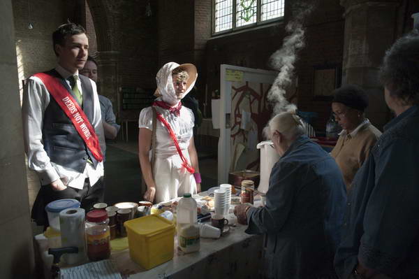
North Downs & the M25: We had our elder son staying with us over the Christmas break and by the 29th the trains in our area were almost working normally and we decided to have a walk on the North Downs.

I didn’t write a lot about it on-line, though some of the pictures have captions, but here is the complete text from My London Diary other than those.
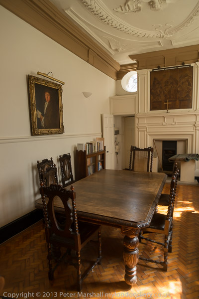
A couple of days later we took a walk on the North Downs at Woldingham. It was pretty enough, but for much of the walk we could hear and see the M25.
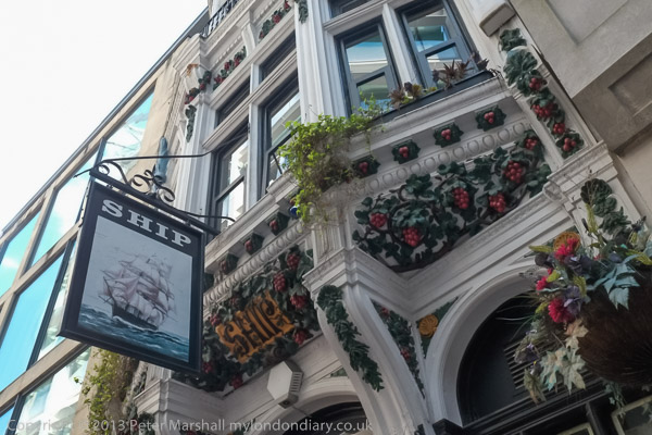
Though we were walking along rather less busy roads – the sign here says ‘Public Bridleway. No Four Wheel Vehicular Access.’

Wikipedia begins its entry on the village with “Woldingham is a village and civil parish high on the North Downs between Oxted and Warlingham in Surrey, England, within the M25, 17.5 miles (28.2 km) southeast of London.”

Which isn’t a great deal of help to those of us who have only the vaguest idea of where Oxted and Warlingham are, but this is a part of what I think of as “deepest Surrey“, a few miles out past Croydon. We live in a very different part of the county with few large houses and virtually free of horses and on the other side of the Thames which doesn’t really belong in the county – and until the 1960s was Middlesex, the county which once included London and our town is still a part of it.

There is a steep escaprment on the Southern edge of the North Downs

This year today engineering work on the railway means there would be no way to get to Woldingham by train, but back in 2007 – and at normal times of the year now – it’s a relatively short journey, with a change at Clapham Junction we could be there in around an hour and a quarter. So even with the short December days there would still be plenty of time to walk around ten or twelve miles before it gets dark and be home in time for dinner.

I can’t remember the route we took, but this was a circular walk from Woldingham station Both the first and last pictures I made that day were at Church Farm, just a quarter of a mile south from the station. It’s probably not a walk I would recommend unless for some reason this section of the M25 was closed, as almost everywhere you can hear the noise of the traffic along it.

My shadow taking a picture in the churchyard of St Agatha’s Woldingham, first recorded in 1270

It’s probably not a walk I would recommend unless for some reason this section of the M25 was closed, as almost everywhere you can hear the noise of the traffic along it. There seemed to be some long traffic jams, with cars moving hardly any faster than us.

The final picture I made on the walk. More on My London Diary at North Downs & M25.


FlickrFacebookMy London DiaryHull PhotosLea ValleyParis
London’s Industrial HeritageLondon Photos

All photographs on this page are copyright © Peter Marshall.
Contact me to buy prints or licence to reproduce.