Southwark, Bermondsey & Rotherhithe: On Thursday 3rd May, 2007 I took a walk “south of the River” in Southwark, Bermondsey & Rotherhithe.
I was going to meet a few photographer friends in the evening, but when I’d finished lunch the weather looked so good and I had nothing vital to work on that afternoon so I took an early train to Waterloo, and then started to wander for the nexy three hours or so, taking a few pictures as I went.
Most of the area had been familiar to me since I began photographing London seriously back in the 1970s – some of my earlier pictures then were along parts of the riverside walkway much of which later in 1977 became part of the Silver Jubilee Walkway or later the Thames Path.
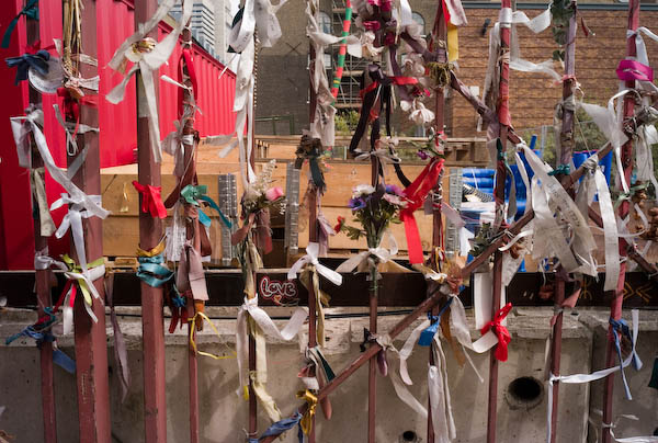
But I started away from the Thames on Southwark Street, turning down Redcross Way to the gates of Crossbones Graveyard, decorated with ribbons and strips of fabric in memory of the ‘Winchester Geese’, young women licensed by the Bishop Of Winchester to work within the liberty of the clink, where activities such as brothels, theatres (including Shakespeare’s Globe), bull and bear baiting were permitted to entertain gentlemen who were rowed across from the City.
The graveyard closed for burials in 1853, by which time there were thought to have been as many as 15,000 buried there, graves for those the church would not bury in consecrated ground, including many of the prostitutes and their young infants, but latterly many too poor to afford a proper burial. In 2007 much was still a building site but now there is a memorial garden there.
I continued in Southwark past the Charterhouse-in-Southwark Mission, on the corner of Crosby Row and Porlock St – demolished in 2011 to build affordable housing and along Long Lane to Bermondsey.
Years earlier I had written and published a folded A4 leaflet for an industrial archaeology walk around here, printing and selling several hundreds of copies on my dot-matrix printer which were used for a number of guided local history walks around the area, particularly those led by now the late local historian Stephen Humphrey. You can still download a free PDF, West Bermondsey – The leather area though parts of it are now out of date and the dot-matrix pictures are primitive but still recognisable.
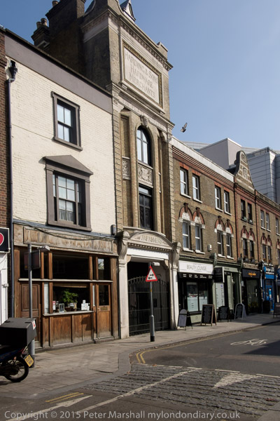
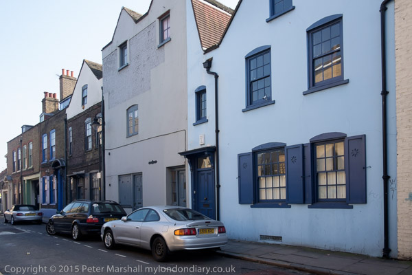
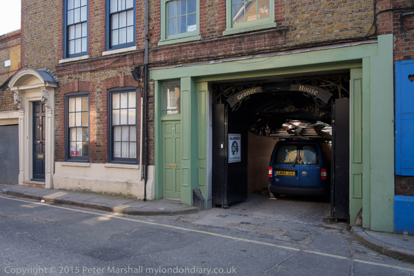
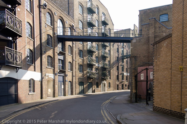
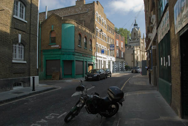
I found quite a few buildings of interest in Bermondsey Street, I think all I’d photographed on previous visits, but some only previously in black and white. And some other things I had photographed, particularly in some of the alleys off the main street were either gone or changed completely, now tidily gentrified.
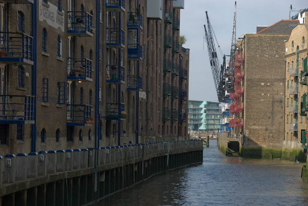
I came back to the river – or one of its creeks, St Saviours Creek at Dockhead, often said to be the mouth of the River Neckinger. It was probably never that though possibly of a very minor destributary with the main course of the river running alongside George Row several hundred yards to the east. The creek is simply that, a tidal creek, which possibly may have been used as a landing place for Bermondsey Abbey and the tide mill in this area.

Any connection with the Neckinger was lost when London’s sewers were reorganised by Bazalgette and the trickle sometimes visible into the creek is local drainage.

Going down Mill Street took me to the Thames and Bermondsey Wall West where I joined the riverside path, though mostly on the land side of warehouses, going past the huge Chambers Wharf on Chambers St with a huge cold store on the land side of the street before reaching the river again.

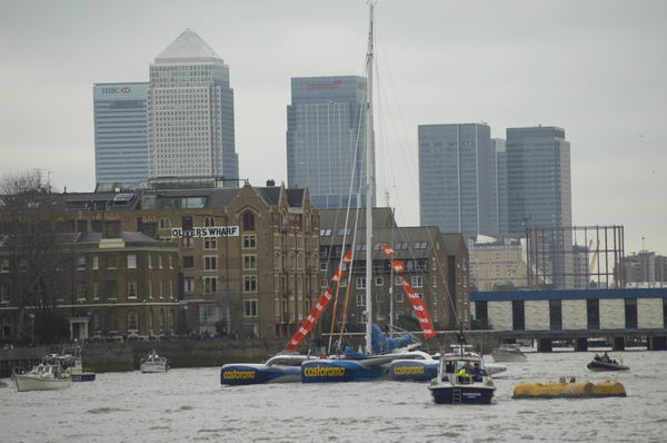
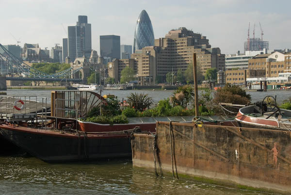
The path then runs beside the river to Rotherhithe, with view across the river to the City and Wapping as well as downriver to RRotherithe and Canary Wharf.

Near the well-known Angel pub was Diane Gorvin’s 1991 three part sculpture “Dr. Salter’s Daydream” which showed the doctor, his daughter Joyce who died as a child of scarlet fever, and their cat. Salter became the local MP and ran a pioneering local health service 20 or more years before the NHS. He died in 1945.

His wife Ada became the first woman mayor in London and the first Labour mayor in Britain in 1922. In 2011 the statue of Dr Salter was stolen for the metal in it. A local campaign raised £60,000 to replace it and a new statue of Ada was added to the group.

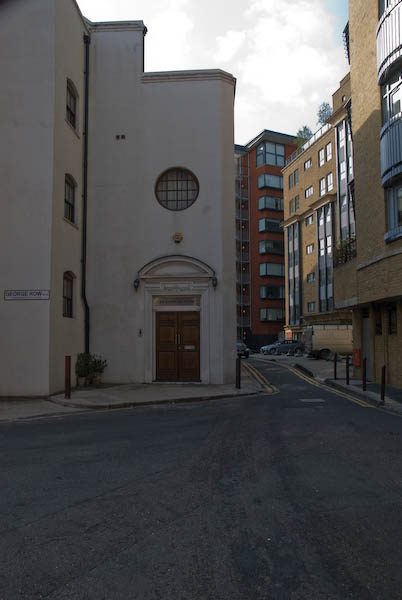
On the grass south of the riverside path are the low ruined walls a small of a small then moated manor house built by King Edward III around 1350. After his death the house was given to the abbey of St Mary Graces by the Tower and in 1399 it passed to Bermondsey Abbey.

A few yards east is the Angel pub, one of only two buildings standing on this long section of riverside. A short distance along is the second, sometimes called ‘The Leaning Tower of Rotherhithe’, four storeys tall and only around 11 foot wide. Once part of a long row of adjoining buildings it was more or less the only one left standing by bombing during the Blitz. It was the offices of lighterage firm Braithwaite & Dean, where lighters would pull in to get their orders and, importantly, their pay. They sold it in the early 1990s.

Finally I arrived in Rotherhithe where there were more pictures to be made – including several buildings and another sculpture, this showing Brunel driving a staem engine which now appears to have disappeared.

More pictures at Bermondsey & Rotherhithe.
Flickr – Facebook – My London Diary – Hull Photos – Lea Valley – Paris
London’s Industrial Heritage – London Photos
All photographs on this page are copyright © Peter Marshall.
Contact me to buy prints or licence to reproduce.