5 Custom House and Canning Town
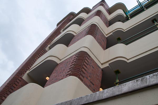
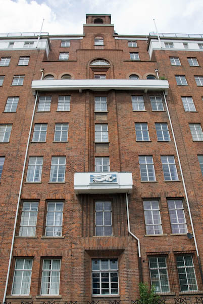
Alight from the train at Custom House and walk out of the exit at the eastern end of the station, turning left (north.) While at the top level, you get a good view of the ‘Flying Angel’ Seamens Hostel.
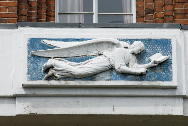
The ‘Flying Angel’ was an Anglican Mission to Seamen, providing hostel accommodation, and was built in 1934-6. As well as the angel there is some good brickwork and a suitable weathervane.
Go down the steps and slope, cross over Victoria Dock Road, and turn right down Freemasons Road, walking down to the sculpture at the junction with Coolfin Rd.
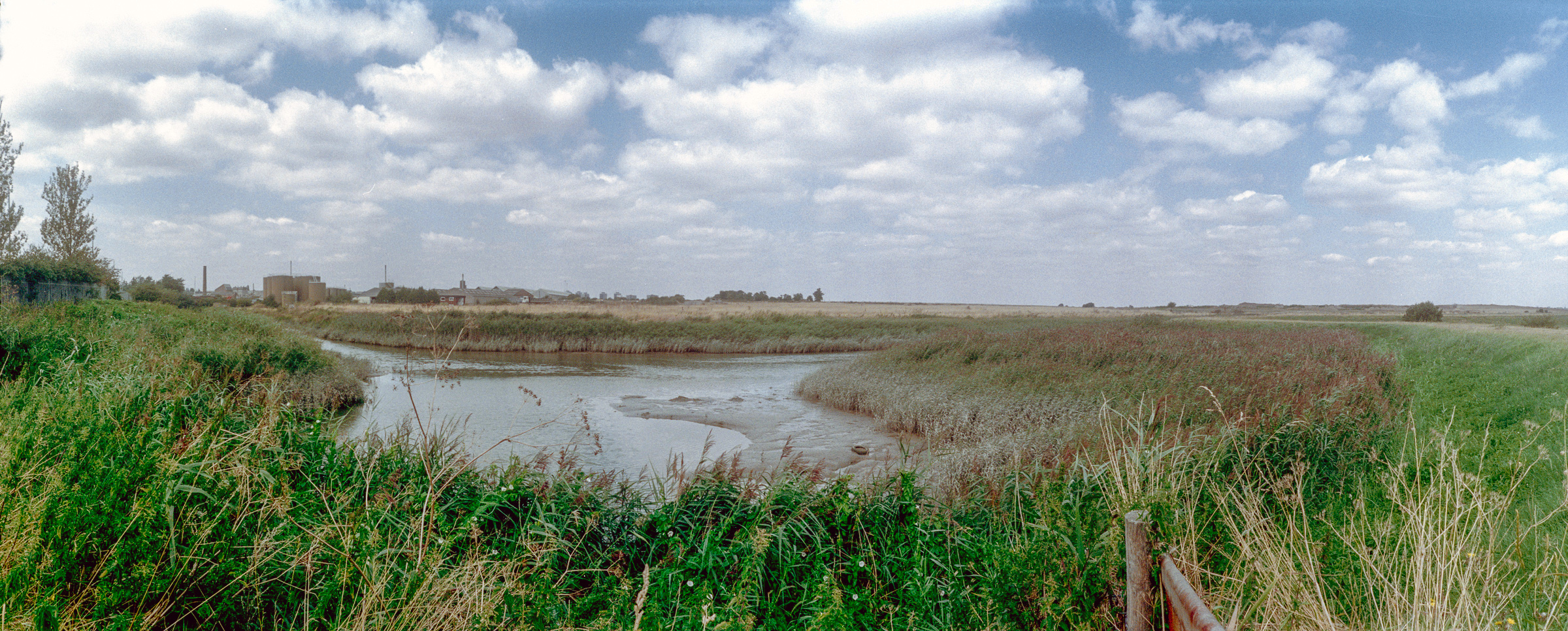
Canning Town
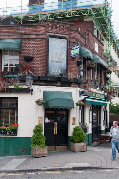
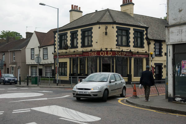
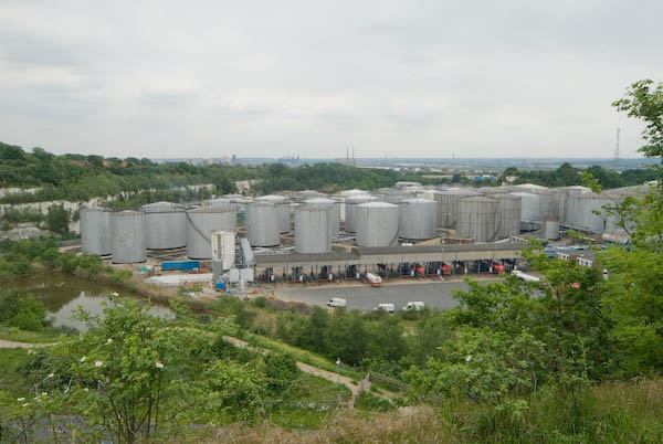
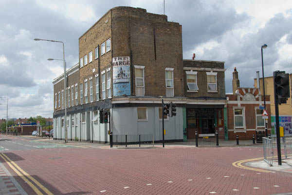
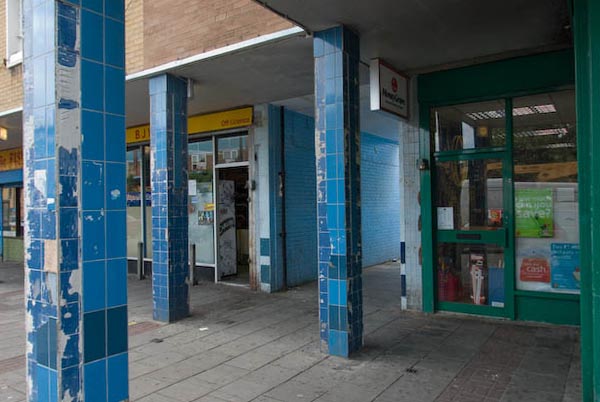
Thanks to bombing in the Second World War, few older buildings in the area survive. On the corner of Freemasons Road, ‘The Barge’ is a good example of a Victorian pub (built 1862, then in Liliput Road, the sign dates from the early 1990s when it was renamed. Formerly ‘The Freemason’s Tavern’, it probably gave its name to the road on which it stands,) used as a hostel for the homeless, while the parade of shops is typically post-war and gives an accurate impression of the area, one of the most deprived. Canning Town South, where we are, was ranked by the Government in 2000 as the most deprived ward in London, and the 35th most deprived in the country.
The south east line of Crossrail (if ever built) is planned to run through Canning Town from Abbey Wood on the currently disused North London line, with a station here. It will then go into a tunnel to the Isle of Dogs and across London to Paddington, before emerging and carrying on to Heathrow and Maidenhead.
[Crossrail was completed and opened as the Elizabeth Line in May 2022 with a station at Custom House and has made an important contribution to transport in and around London.]
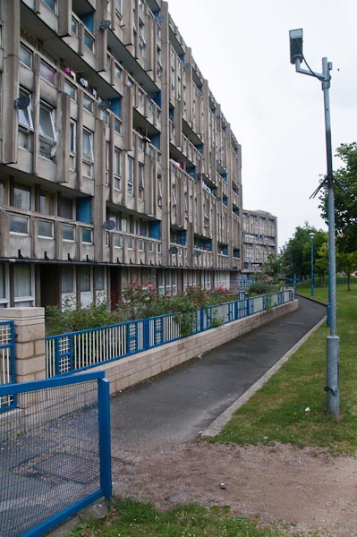
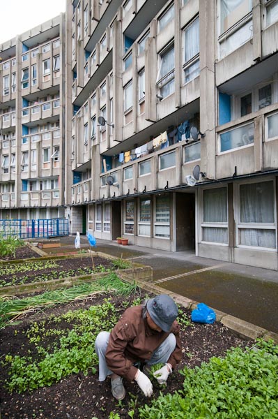
85% of the buildings in Canning Town were destroyed in the war. A little to the west is the Keir Hardie Estate, named after Britain’s first socialist MP, who was elected for this constituency of West Ham (South) in 1892, Hardie was a Scot who had started work in a coal mine, and in 1907 became the leader in the House of Commons of the newly formed Labour Party. The estate was developed along ‘garden city’ lines.
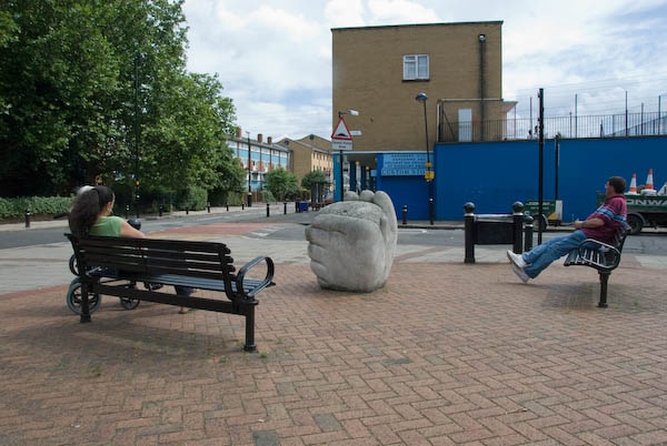
Dockers’ Memory
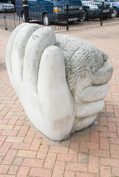
The sculpture on the corner of Coolfins road is by Paula Haughney and dates from 1995. It appears to be cast concrete, and the surface of the ‘brain’ is covered by various symbols related to dockers and the sea.
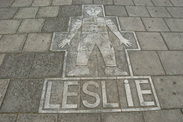
There is a further work by Haughney beside the bus shelter on the east side of Freemasons Road. Situated between Leslie Road and Ethel Road, the pavement contains figures of both Leslie and Ethel as well as a central motif that includes two knots and other devices.
Clever Road
We are close to a site that has had a pivotal role in architecture and town planning, a hundred yards or so to the north in Clever Road, although both the building concerned and the road have been removed.
At 5.45am on 16 May 1968, fifty-two year old Ivy Hodge decided to make an early morning cuppa. She struck a match and set off a gas explosion which resulted in the collapse of one corner of her 20 storey tower block, Ronan Point.
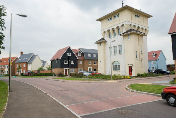
Although Ronan Point was repaired (it was careless building work rather than a design fault that cause the catastrophic collapse) it was the beginning of the end for high-rise system-built blocks. Ronan Point, together with the other 8 or 9 similar blocks in the Freemasons Estate, and many others around the country was demolished in the 1980s and replaced by the current 2 and 3 storey terraced housing.
Peter Woodhams
Canning Town made headlines again in 2006. Peter Woodhams was a local 22 year old whose car was hit by stones as he was driving around the area. He got out and confronted the stone-throwers, and was stabbed.
The police didn’t seem to take a great deal of interest in the incident, nor in further reports from Peter of abuse and other minor incidents from the same bunch of youths that became a regular feature when he visited the shops or walked around the area.
In August 2006, in another confrontation with some of the local youths, one pulled out a gun and shot him dead. An 18 year old was convicted of his murder in March 2007.
Walk back to Custom House Station and up the steps, but instead of descending to the platform follow the signs to the Excel Centre.
This walk continues in a later post with Part 6: ExCeL and Royal Victoria Square.
You can read the whole document as I published it in 2007 beginning here and see more pictures I took in 2007 on My London Diary at canning town, victoria dock, silvertown west.
Flickr – Facebook – My London Diary – Hull Photos – Lea Valley – Paris
London’s Industrial Heritage – London Photos
All photographs on this page are copyright © Peter Marshall.
Contact me to buy prints or licence to reproduce.