A Long Day Around Hull: We were staying in Hull for a few days to celebrate our wedding anniversary and on Friday 27 July 2018 we visited some old friends in Cottingham before walking to Oppy Wood in the morning. A bus took us back to the city centre where we bought sandwiches for lunch to a bus to Stoneferry where we sat on the bank of the River Hull to eat them before walking back towards the Wilmington Bridge and crossing here to view the extensive Bankside Gallery before going to the Whalebone pub to refresh ourselves before making our way back to the city centre for dinner and spending some time with family members at the Royal Hotel.
It had been a long and rather tiring day and I had taken a great many photographs, a few of which are included in this post, but rather more are on My London Diary – links in the separate sections below. In particular I had decided to make many panoramic images on our walk.
Hull, Cottingham & Oppy Wood – 2018
We set off early from our hotel in the city centre and took a roundabout route to Hull Interchange photographing a few of the interesting buildings on our way. I made a few pictures from the upper deck of the bus on the way to Cottingham and on the short walk to have morning coffee with old friends in their bungalow.

From there it was another walk to Oppy Wood, created by the Woodland Trust around 2004, after they had planted 18,000 trees as a living memorial for the 200 local men from the Hull Pals battalions who died in the Battle of Oppy Wood, near Arras, France on May 3rd, 1917. There is a permanent Kingston Upon Hull Memorial at Oppy unveiled there in 1927.

Unfortunately extensive work was going on in the area in a flood prevention scheme for the city and access to the site – usually open to the public – was much more limited than normal.
More at Hull, Cottingham.
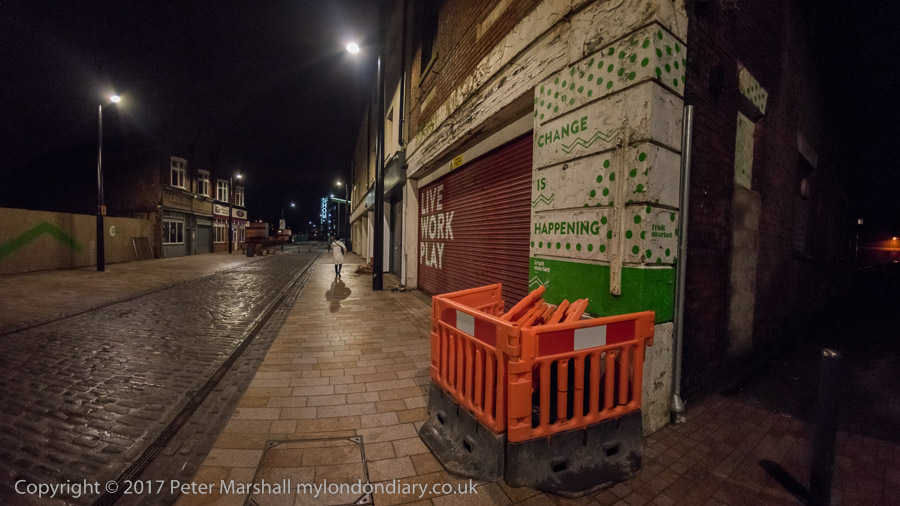
Stoneferry, Wincolmlee & City Centre
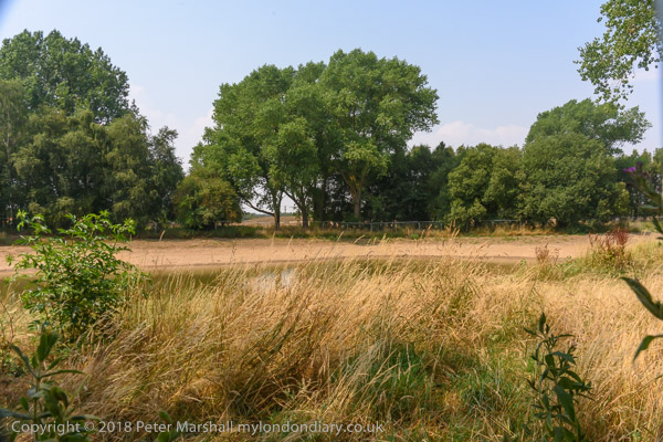
Again I took a number of pictures from the bus as we travelled from the city centre to Anne Watson Street where we walked to a quiet spot by the River Hull to sit in the sun and eat our sandwich lunch, before making our way back towards the city centre.
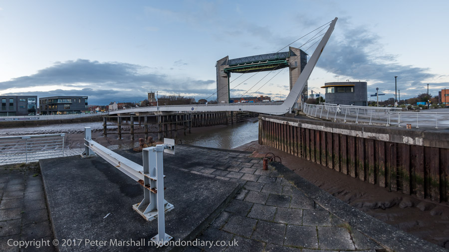
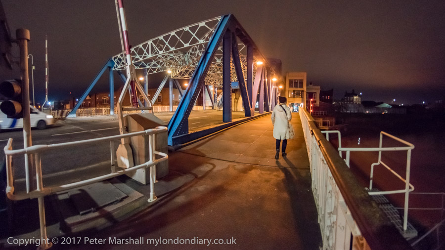
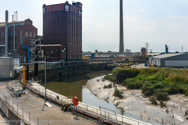
Unfortunately there is only a short part of the walk beside the river and much of the time we were walking along a busy hot dusty road until we got to the footpath leading to Wilmington Bridge which used to take the railway lines to Hornsea and Withernsea across the river – but now only has cycle and footpaths.
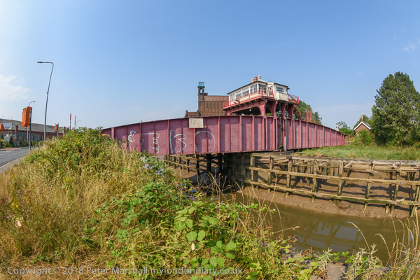
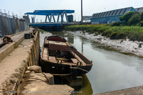
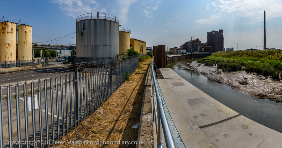
We crossed the river mainly to photograph the ‘Bankside Gallery’ – pictures in a separate section – but there is also now a little more access to the river than before here. Hull Railway bridge was still taking goods to and from the docks.
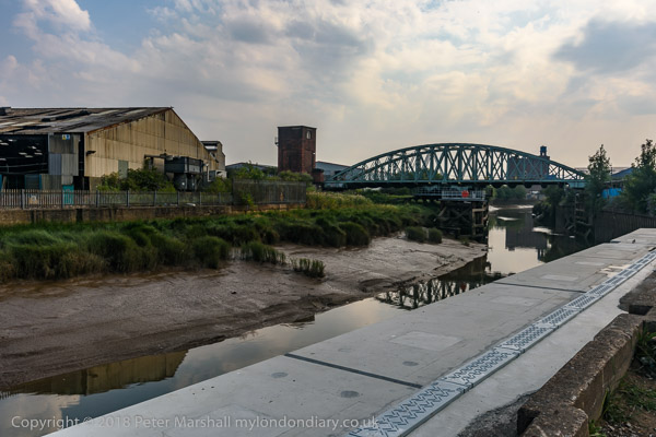
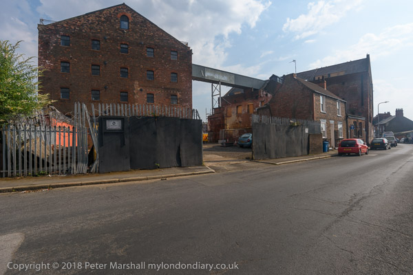
We walked north to the end of the gallery, then made our way back down Air Street to Wincolmlee, still with many small businesses some in the old buildings in poor condition but now few making any use of the river.
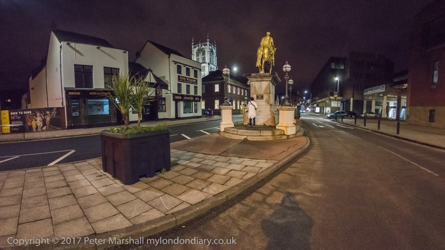
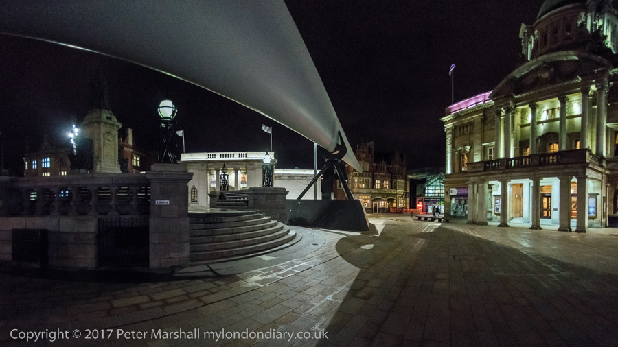
We had got very hot and stopped for a drink at the Whalebone before making our way back to the city centre. There was still time to take a few more pictures there before going to meet family for a meal at the Royal Hotel at Paragon Station.
Much more at Stoneferry, Wincolmlee & City Centre.
Bankside Gallery
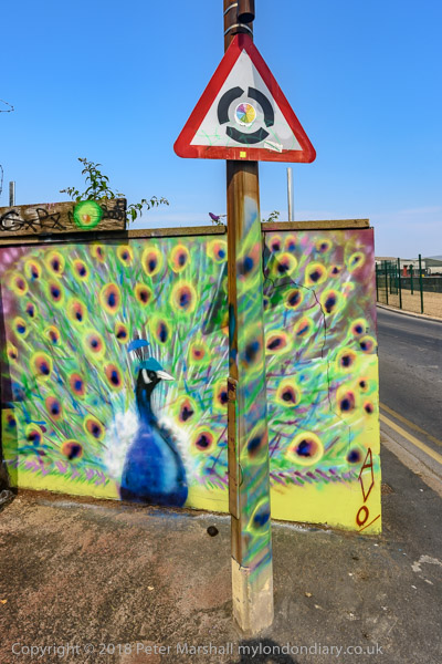
Hull has Banksy to thank for the Bankside Gallery. His ‘Draw The Raised Bridge‘ which appeared on Scott Street bridge on 26 January 2018 brought crowds to the area and inspired many to create murals on the many walls in the area, creating the extensive gallery.
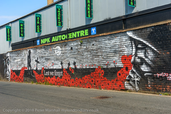
The Grade II listed lifting bridge which has was closed to road traffic, its bascules permanently raised since 1995 was demolished in 2019-20. It had long been neglected by the city council both before and after closure.
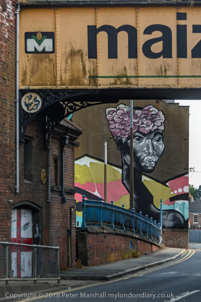
Here I’ll post just three of the many images I took – there are many more at Bankside Gallery.
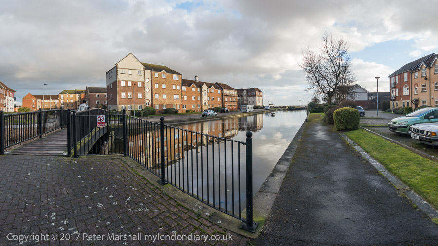
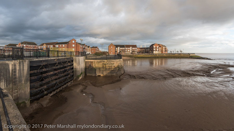
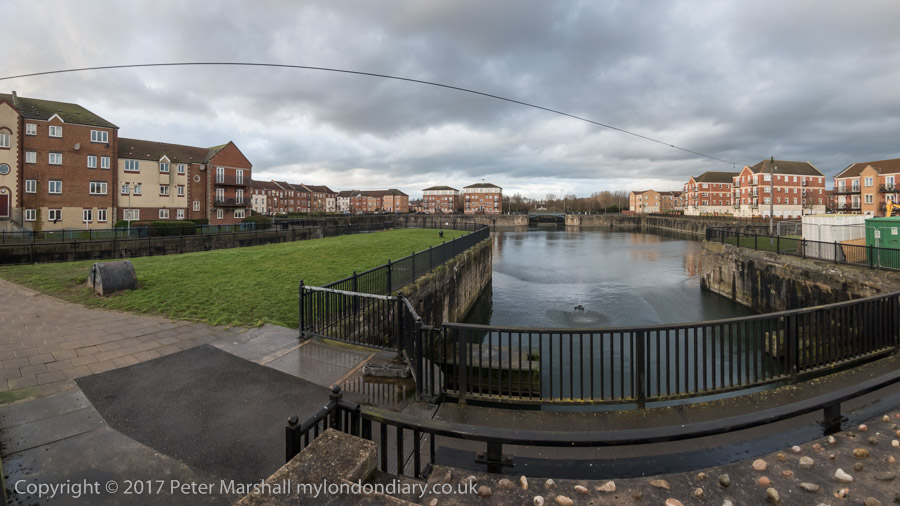
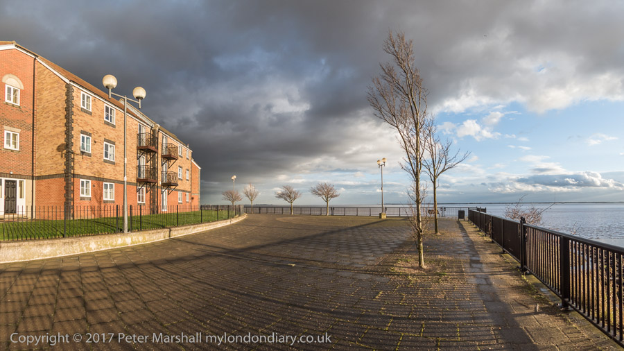
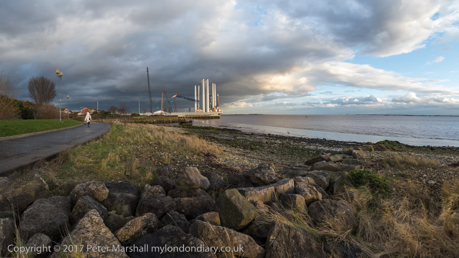
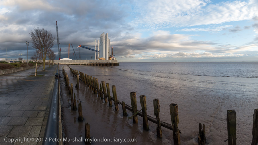
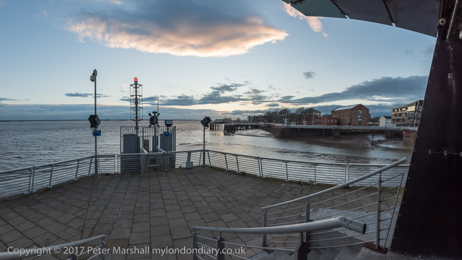
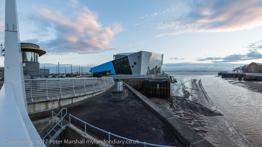
Hull Panoramas
On my visit to Hull in 2017 when it was UK City of Culture I had begun making a series of panoramic images in Hull, including many of the areas that I first photographed in black and white in the 1970s and 1980s for the work which became a show, ‘Still Occupied’ at the Ferens Art Gallery in Hull in 1983, and later a self-published book of the same name and more recently in a couple of Café Royal zines.

Here are two of them – and there are another 16 on My London Diary that I made during this walk – at Hull Panoramas.
Flickr – Facebook – My London Diary – Hull Photos – Lea Valley – Paris
London’s Industrial Heritage – London Photos
All photographs on this page are copyright © Peter Marshall.
Contact me to buy prints or licence to reproduce.