Victoria Dock & the Old Town: We arrived in Hull for a visit during the the city’s Year of Culture on Thursday 16th February 2017, 8 years ago.
We had come partly because I was hoping to have a show in the city – it would have been my first there since 1983 when ‘Still Occupied – A View of Hull‘ was in the Ferens Gallery. This one would have been on a rather less grand scale and fell through when the bailiffs evicted the group who had been squatting another city centre property.
But we had also come to celebrate Linda’s birthday in the city where she was born and grew up and for which we both have a particular affection, as well as to see some of the things that were happening for the special year.
And as always I had come to take photographs, in particular to revisit some of the many places around the city I had photographed back in the 1970s and 1980s. You can see many of those pictures on the Hull Photos web site where I posted a new photo every day throughout Hull’s year as City of Culture and beyond.
I wasn’t bent on a “re-photography” project. These often seem to me a rather lazy way for people who haven’t any real photographic ideas of their own to capitalise on those of other people – or even their own earlier work. Parasitical. Though I do have to admire a few projects that have been really well carried out.
For me photography has always been about my immediate response to the subject. If the scene has changed so too will I respond differently; and if it hasn’t why bother to photograph it again?
In particular I had moved over the years to seeing landscape and urban landscapes very much more in terms of panoramas. Forty or so years earlier had I worked almost entirely with tightly framed scenes using a 35mm shift lens. But now – with a few exceptions – I was working with the very different perspective of the wide sweeping view of a panorama. It forced me to think differently.
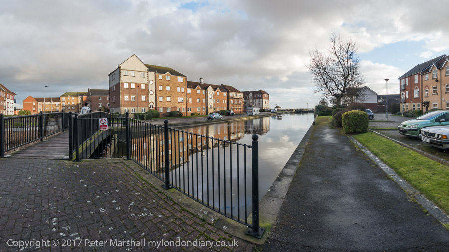
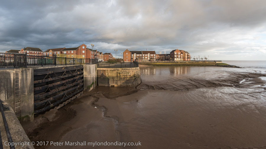
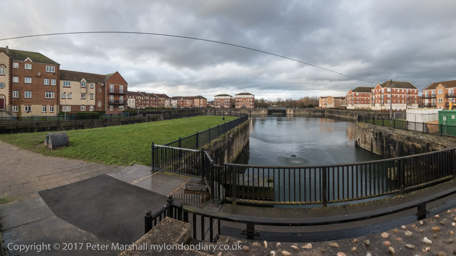
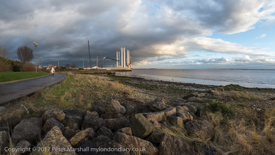
Victoria Dock, Hull’s timber dock had closed before I began making pictures there, although there were still a few small pockets of industry on and around the largely derelict site, as well as some remnants.
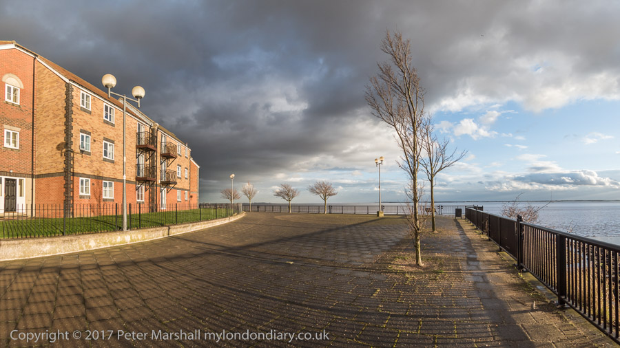
Now the dock has largely been filled in – the large timber ponds had already gone when I first visited. Much is now housing estates, leaving just the Outer Basin and Half Tide Basin and a slipway with water in them. And we were staying in a room of a house on one of the new estates. We arrived in early afternoon and after dumping our bags went out for a walk along the side of the Humber as the weather was fine for photography.
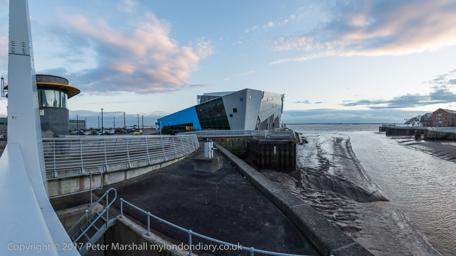
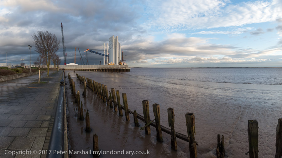
I had walked along this footpath years before, going on past the still open Alexandra and King George V Docks more or less to the city boundary. Now the path is cut off by the Siemens wind turbine site on the former Alexandra Dock.
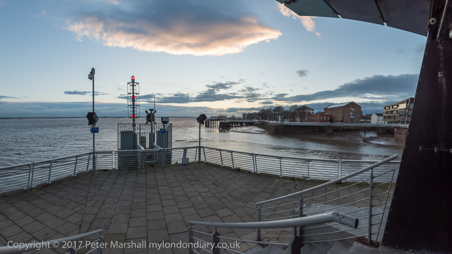
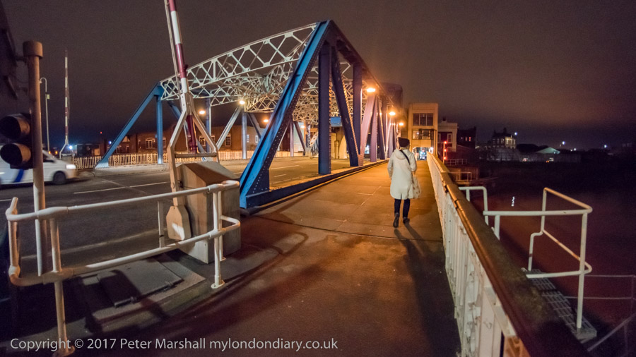
We turned around and walked back towards the Old Town where a new footbridge took us across the River Hull and on to a drink and an early dinner at the Minerva. After the dramatic skies earlier the sunset was rather disappointing.
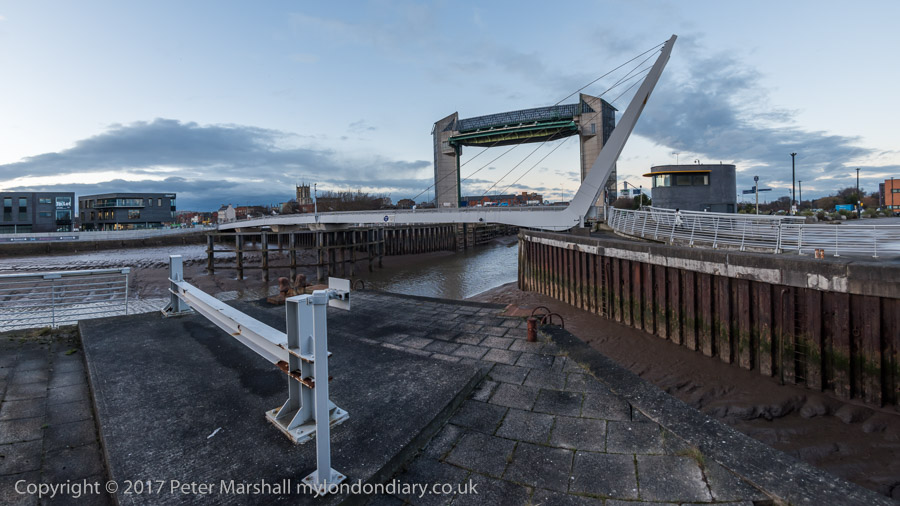
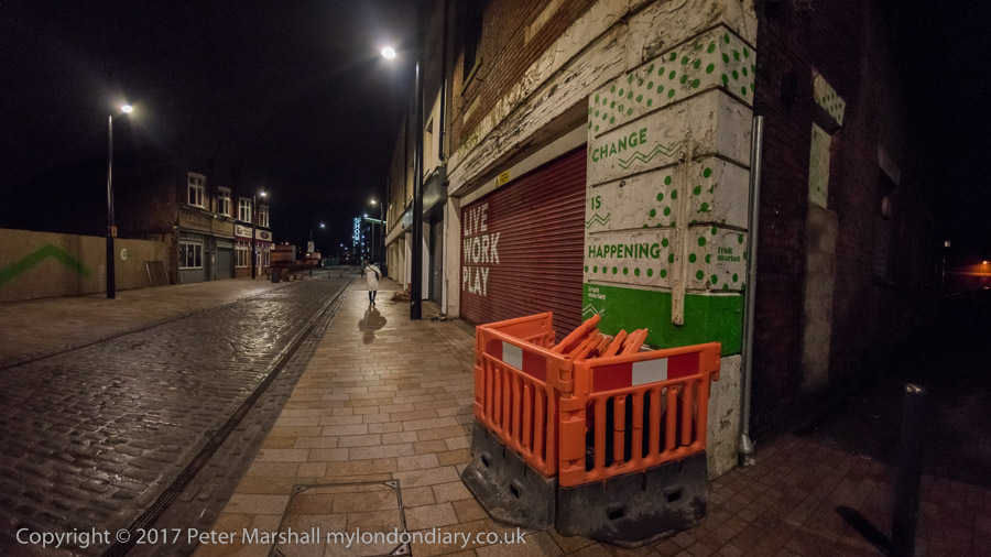
After a long rest in the pub we decided to wander around the Old Town. In 2017 the area was still pretty empty on a Thursday night in winter, cut in half by the A63, the busy road to the docks (or rather dock), a reminder that Hull is still a significant port. But the footbridge I was then very sceptical about in my account on My London Diary was eventually built. Still something of a barrier, but far less frustrating.
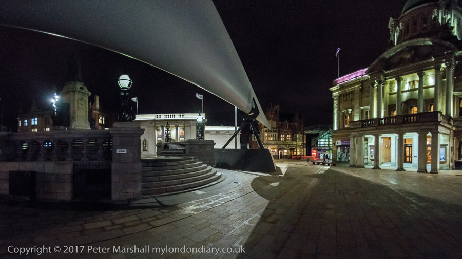
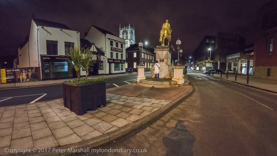
We walked as far as the city centre to admire (and photograph) the turbine blade on display there before turning round to walk back over the River Hull – this time we took the now seldom-lifting North Bridge.
We walked south beside the river along the deserted riverside path to Drypool Bridge where the path was then closed off after the needless demolition of Rank’s Mill for a hotel that didn’t arrive and through the streets – another long wait to cross the A63 – and back to the house we were staying in.
You can read more details of the walk and see more of the panoramas I made on My London Diary.
Victoria Dock Promenade
Night in the Old Town
Flickr – Facebook – My London Diary – Hull Photos – Lea Valley – Paris
London’s Industrial Heritage – London Photos
All photographs on this page are copyright © Peter Marshall.
Contact me to buy prints or licence to reproduce.


