Thamesmead & The Thames – 1994

Thamesmead & The Thames: More pictures from my October and November 1994 visits to Thamesmead.
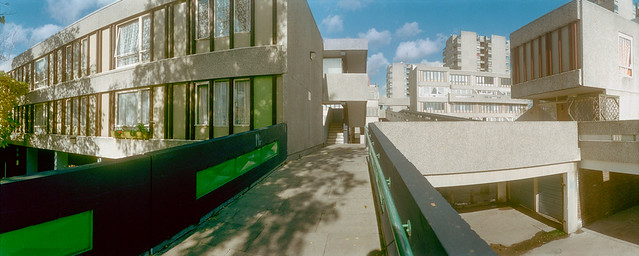
Tavy Bridge, Thamesmead, Bexley, 1994, 94-1003-61

I hope the captions which I wrote at the time are accurate, but I found parts of Thamesmead rather confusing to walk around. There are both streets and raised walkways and various footpaths, and I don’t think the map was always too helpful.

Tavy Bridge Centre, Thamesmead, Bexley, 1994, 94-1003-63

However these shops were certainly at the Tavy Bridge Centre. Thamesmead is built on the flood plain and the whole area had been badly flooded before the new estate was developed. The planners decided to build with garages at street level and the living areas of the housing at first floor and above so as not to be vulnerable to floods.

Tavy Bridge, Thamesmead, Bexley, 1994, 94-1003-52

Some of the areas liable to flooding have since been rebuilt with housing at ground level. I assume that the river walls are now thought to be an adequate defence, but would not myself buy a house there.

Footbridge, Yarnton Way, Thamesmead, Bexley, 1994, 94-116-41

Sea levels are slowly rising as the earth gets hotter because of increasing levels of greenhouse gases from burning fossil fuels means that ice melts. The Thames Barrier still protects most of London, but will need to be replaced. Thamesmead is downstream of the barrier and so will need its own extra protection. At some point with high spring tides and an easterly gale this will be overtopped.

River Thames, Beckton, Canary Wharf, Thamesmead, Bexley, Greenwich, 1994, 94-115-44

I walked on to the riverside promenade, Thameside Walk. Looking towards the west both the remains of the Beckton gas works and Canary Wharf were visible though there was considerable haze due to air pollution in London.

River Thames, Ford, Dagenham, Thamesmead, Bexley, Greenwich, 1994, 94-115-45

Across the Thames and a little to the east was the vast Ford complex at Dagenham, its logo visible on the water tower at left.

Promenade, River Thames, Thamesmead, Bexley, 1994, 94-115-35

The river is stretches away east towards the estuary, turning around towards the south in the distance. At the left of the picture is the Essex bank. The river is a little over 2000 feet wide here.

The panoramic images here were taken on a Russian Horizon swing-lens camera, its 28mm lens giving a horizontal angle of view of around 127 degrees (often stated as 120.) The negatives, on standard 35mm film are 58x24mm, a similar width as a ‘6×6’ medium format camera though only 2/5 the height. It was possible to use the camera handheld, but for these pictures I used a sturdy Manfrotto tripod, usually working from a normal eye height of a little over 5 foot.

More to come from Thamesmead.


Flickr – Facebook – My London Diary – Hull Photos – Lea Valley – Paris
London’s Industrial Heritage – London Photos

All photographs on this page are copyright © Peter Marshall.
Contact me to buy prints or licence to reproduce.
Victoria Dock & the Old Town – Hull 2017

Victoria Dock & the Old Town: We arrived in Hull for a visit during the the city’s Year of Culture on Thursday 16th February 2017, 8 years ago.

Victoria Dock & the Old Town - Hull 2017

We had come partly because I was hoping to have a show in the city – it would have been my first there since 1983 when ‘Still Occupied – A View of Hull‘ was in the Ferens Gallery. This one would have been on a rather less grand scale and fell through when the bailiffs evicted the group who had been squatting another city centre property.

Victoria Dock & the Old Town - Hull 2017

But we had also come to celebrate Linda’s birthday in the city where she was born and grew up and for which we both have a particular affection, as well as to see some of the things that were happening for the special year.

Victoria Dock & the Old Town - Hull 2017
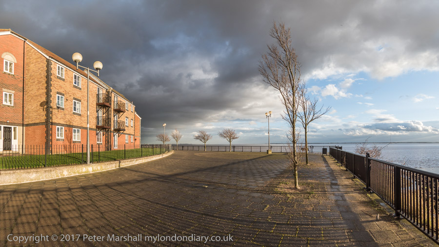
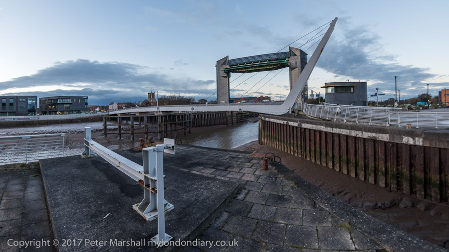
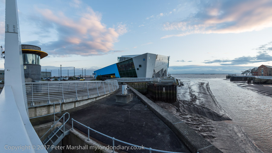
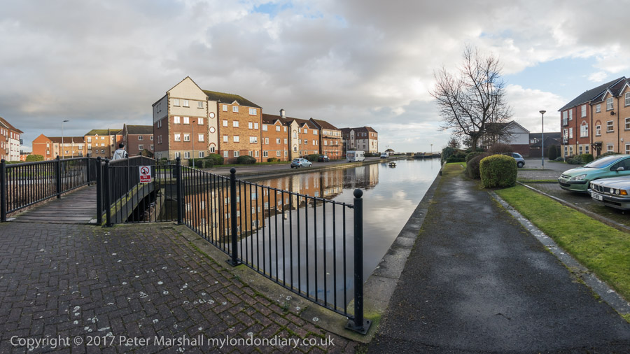
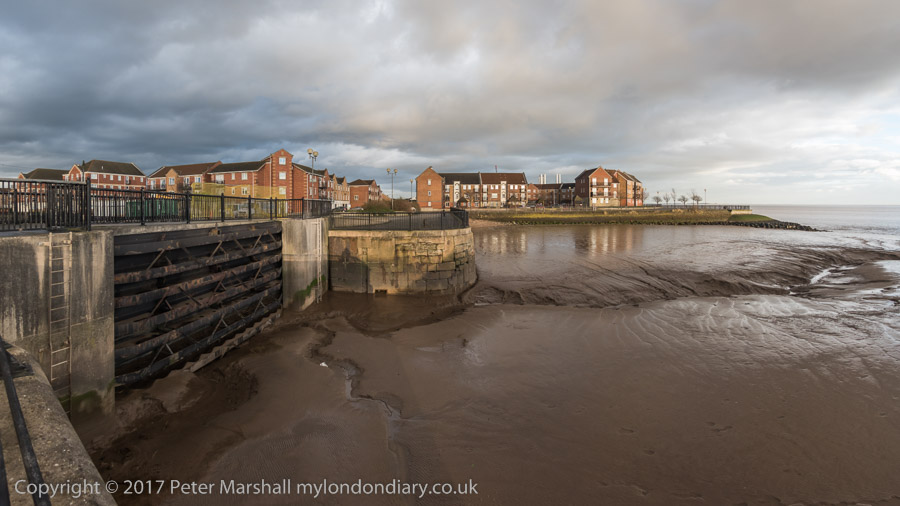
Victoria Dock Half Tide Basin. The black area in the distant dock wall was the entrance to Victoria Dock, now completly filled in.

And as always I had come to take photographs, in particular to revisit some of the many places around the city I had photographed back in the 1970s and 1980s. You can see many of those pictures on the Hull Photos web site where I posted a new photo every day throughout Hull’s year as City of Culture and beyond.

Victoria Dock & the Old Town - Hull 2017

I wasn’t bent on a “re-photography” project. These often seem to me a rather lazy way for people who haven’t any real photographic ideas of their own to capitalise on those of other people – or even their own earlier work. Parasitical. Though I do have to admire a few projects that have been really well carried out.

Victoria Dock & the Old Town - Hull 2017

For me photography has always been about my immediate response to the subject. If the scene has changed so too will I respond differently; and if it hasn’t why bother to photograph it again?

In particular I had moved over the years to seeing landscape and urban landscapes very much more in terms of panoramas. Forty or so years earlier had I worked almost entirely with tightly framed scenes using a 35mm shift lens. But now – with a few exceptions – I was working with the very different perspective of the wide sweeping view of a panorama. It forced me to think differently.

Victoria Dock, Hull’s timber dock had closed before I began making pictures there, although there were still a few small pockets of industry on and around the largely derelict site, as well as some remnants.

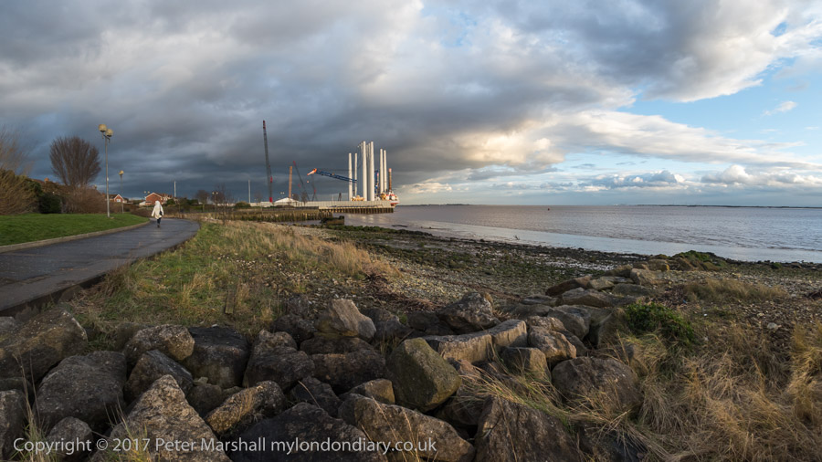
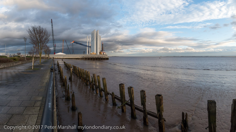
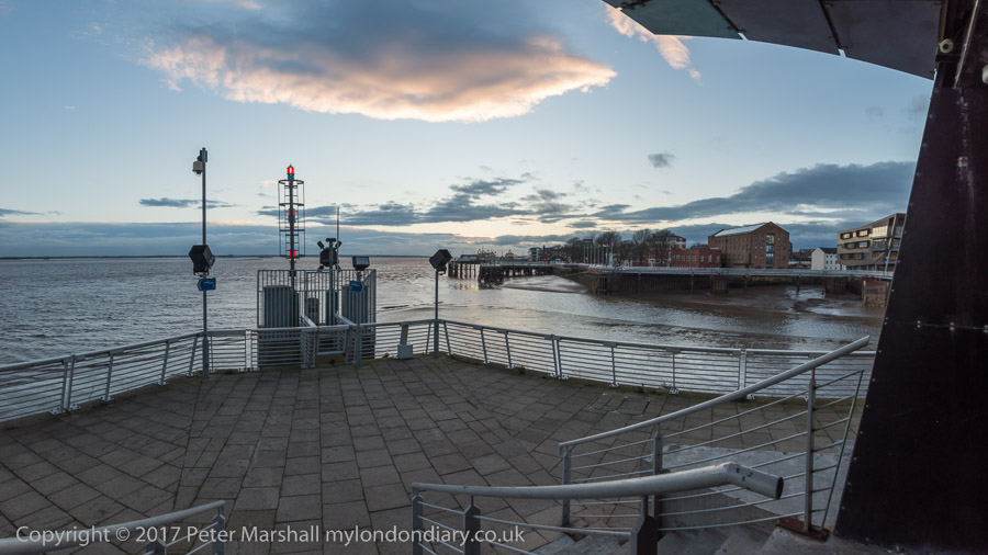
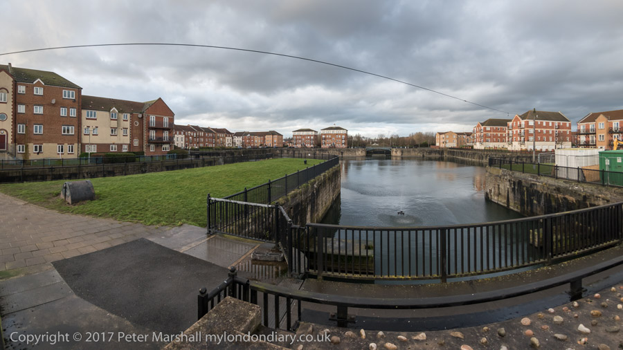
Now the dock has largely been filled in – the large timber ponds had already gone when I first visited. Much is now housing estates, leaving just the Outer Basin and Half Tide Basin and a slipway with water in them. And we were staying in a room of a house on one of the new estates. We arrived in early afternoon and after dumping our bags went out for a walk along the side of the Humber as the weather was fine for photography.

The mouth of the River Hull

I had walked along this footpath years before, going on past the still open Alexandra and King George V Docks more or less to the city boundary. Now the path is cut off by the Siemens wind turbine site on the former Alexandra Dock.

We turned around and walked back towards the Old Town where a new footbridge took us across the River Hull and on to a drink and an early dinner at the Minerva. After the dramatic skies earlier the sunset was rather disappointing.

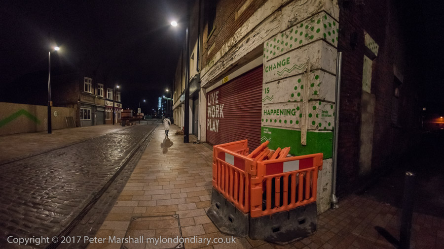
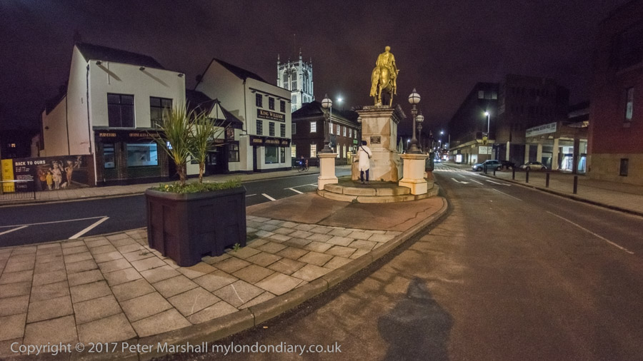
After a long rest in the pub we decided to wander around the Old Town. In 2017 the area was still pretty empty on a Thursday night in winter, cut in half by the A63, the busy road to the docks (or rather dock), a reminder that Hull is still a significant port. But the footbridge I was then very sceptical about in my account on My London Diary was eventually built. Still something of a barrier, but far less frustrating.

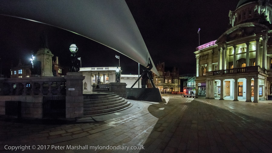
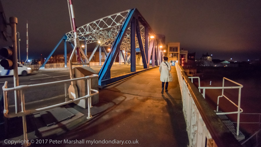
We walked as far as the city centre to admire (and photograph) the turbine blade on display there before turning round to walk back over the River Hull – this time we took the now seldom-lifting North Bridge.

We walked south beside the river along the deserted riverside path to Drypool Bridge where the path was then closed off after the needless demolition of Rank’s Mill for a hotel that didn’t arrive and through the streets – another long wait to cross the A63 – and back to the house we were staying in.

You can read more details of the walk and see more of the panoramas I made on My London Diary.
Victoria Dock Promenade
Night in the Old Town


Flickr – Facebook – My London Diary – Hull Photos – Lea Valley – Paris
London’s Industrial Heritage – London Photos

All photographs on this page are copyright © Peter Marshall.
Contact me to buy prints or licence to reproduce.