Shops & Yards, Leyton: Continuing with pictures from my walks around Leyton in September 1994 her is a final set of pictures of shops and yards which caught my attention. Although I originally captioned some as being in Leytonstone I think by this part of the walk I was back in Leyton. This post follows on from More Leytonstone Shops – 1994.

This amazing brightly sunlit near-symmetrical window display in a shop selling cakes has as its centrepiece a rather unhealthy looking plant in a bright orange container with a pentagonal gold design on its front.
Under each box was a carefully placed doily – a decorative openwork piece first popularised by London Draper Mr Doiley in the 17th century as woollen pieces to be worn. Later doilys became used as head coverings, napkins and largely “crocheted tatted or knitted out of cotton or linen thread” and became used under jugs, plates, vases and dishes on dining and other tables. More commonly they are now made – like those in this picture – from paper.
The interior of the shop can also be seen, if dimly, in the picture, and there are also some reflections, including me at the bottom of the frame, though more obvious is a road sign warning of the low railway bridge which I now think is that Hainault Road – and which can also be made out across the top of the picture. The interior and reflections merge well and it is hard to sort them out.

Somewhere in Leyton was a small and packed yard of metal dealer M W White and I think it was next to Midland Road station on Midland Road and I made this looking down from the station platform. This site was redeveloped before 2008.

The shop occupied by Lea Bridge Sauna at 171 Lea Bridge Road has undergone frequent changes of business since I made this picture and in 2025 was a mobile phone and vape shop. I think it has kept the central door but now has large glass windows on each side, though more often the whole ground floor frontage is covered by a metal blind.

I felt that one of the tropical fish in the ‘aquarium’ across the top half of the picture which had fallen off, leaving its outline and the bare wood behind was now swimming across the window below.
I think the only fish now for sale on the Lea Bridge Road are probably in fish and chip shops. I always enjoyed walking past the many shops on this road and at one time used to visit to buy bargain photographic paper and film at Marston & Heard at 378 Lea Bridge Road. In the late 1970s they became part of a larger group of dealers, the Phototec Group with various branches around London and elsewhere. Among other things in the early 1980s I bought fairly large stocks of Agfa Portriga paper which Agfa then no longer sold in the UK. The group disappeared around the end of that decade.

The only information I can find searching on Google for C Barralet is based on these two pictures I took back in 1994, and this builders merchants otherwise seem to have disappeared without trace, though I’m sure will still be listed in out-of-date directories and other records.
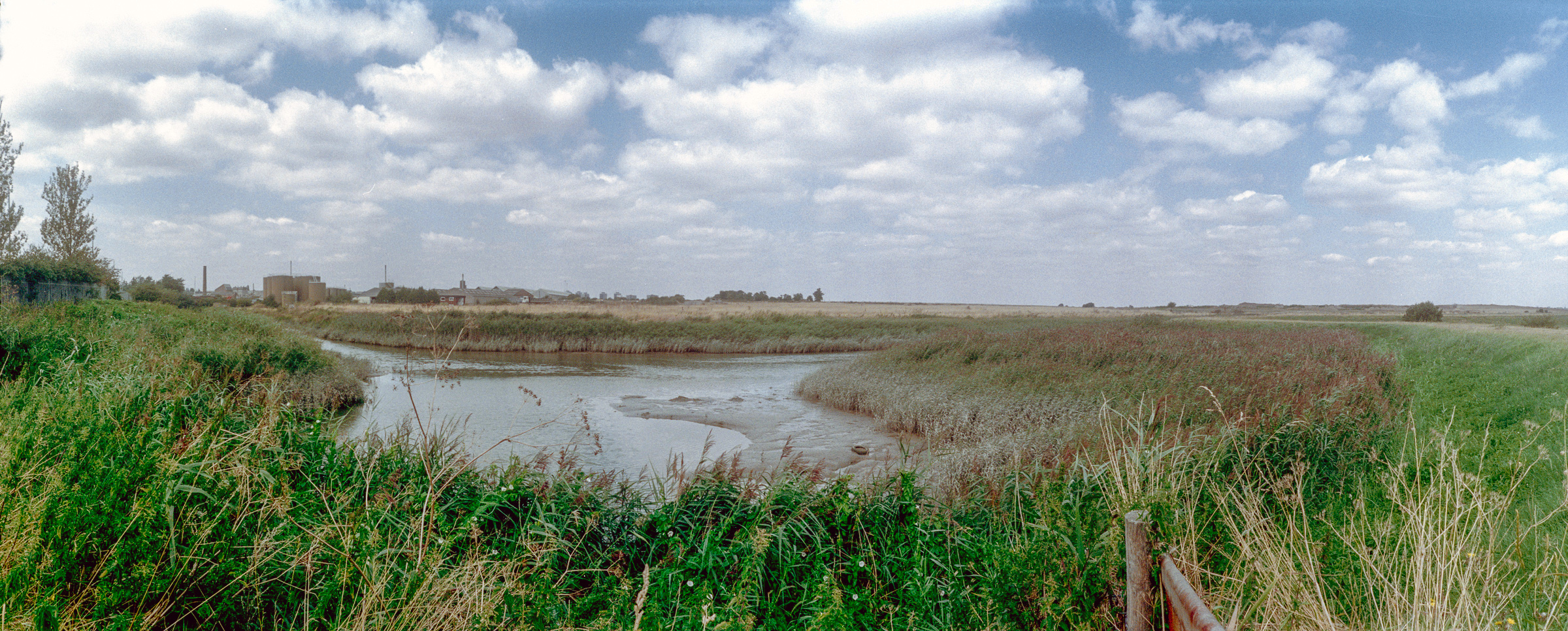
In the background here is a distinctive huilding and further away two gasholders, presumably those of Lea Bridge (Clementina Road) Gasworks to the south of Clementina Road, which were taken out of use in 2012 and demolished in 2019. The parked gas can suggests this might be part of the gasworks site.

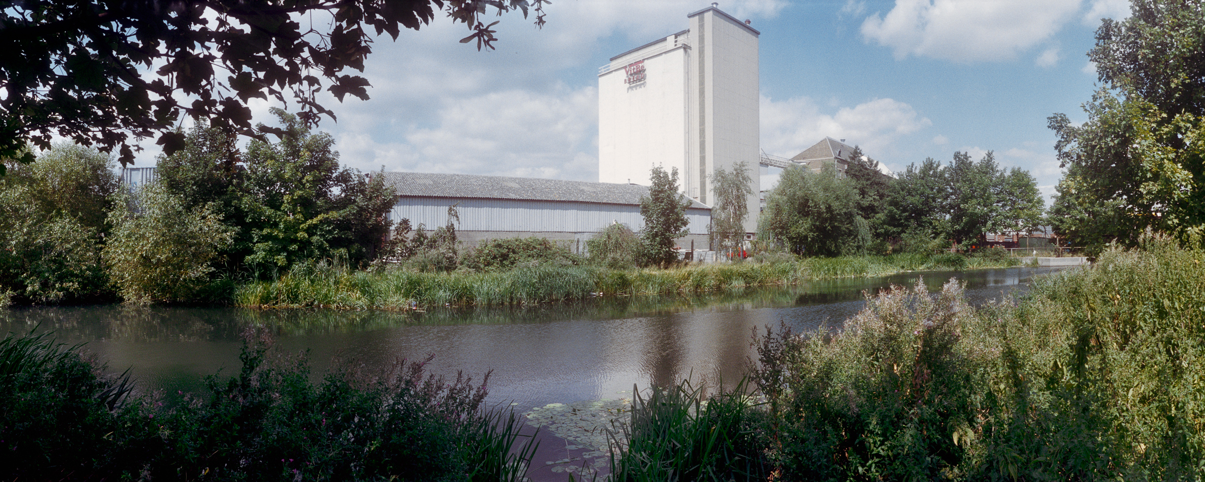
Comprehensive redevelopment of this area since 1994 makes it impossible for me to precisely locate these pictures, and I think all of the buildings shown have now been demolished including the factory at the right of this picture.

I think this industrial site was probably also in the same area south of Lea Bridge Road in Leyton and also now redeveloped. The buildings here seem to be largely steel frames covered with sheets of asbestos and I can identify none of the rusting stacks of products.

Finally a closer look at the front of one of the sheds and the items in front of it photographed over the green fence with items of a similar colour and a large brighter green door. But what makes the composition stand out is the orange paint over parts of the structure of the large doorway, perhaps looking like some flat-footed robot standing arms outstretched holding vertical spears blocking the entrance.
I think this was the end of this walk in Leyton and I probably caught a bus back to Hackney Central for the North London Line.
Flickr – Facebook – My London Diary – Hull Photos – Lea Valley – Paris
London’s Industrial Heritage – London Photos
All photographs on this page are copyright © Peter Marshall.
Contact me to buy prints or licence to reproduce.