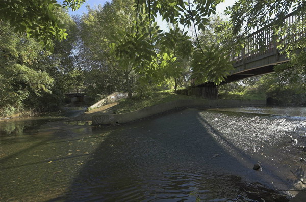
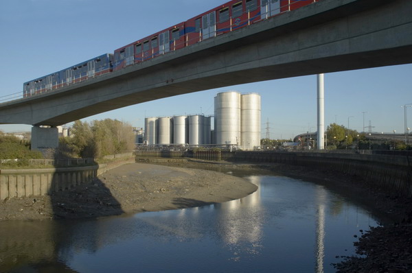
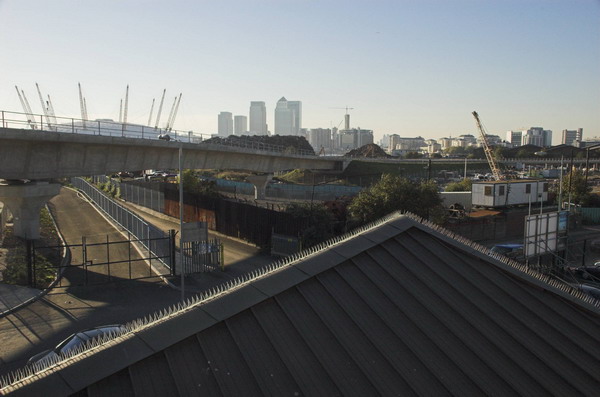
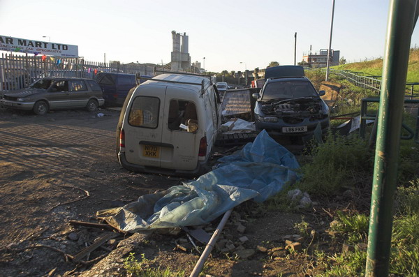
1994 London Colour – City, Limehouse & Canning Town: More of my colour pictures made in July or the start of August 1994, in the City of London, Limehouse and at the Royal Victoria Dock in Canning Town.

I can no longer remember where I saw this circle of chairs, left after a celebration of some kind. Reflected in the background I can see myself looking in, probably from one of the highwalks in the City, with a whole range of buildings behind me, none of which I can immediately recognise. I am standing in sunlight, which shines on the foreground chairs, but the back of the room is in fluorescent lighting, giving it an unnatural blued-green tint. A single empty glass on the decorated table and a stubbed out cigarette on the floor remain from the earlier gathering.

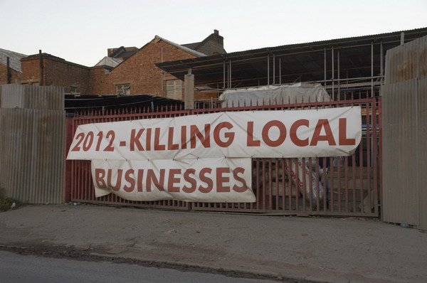
Fleet Place is immediately east of City Thameslink Station and this is one of London’s private pedestrian areas – like Broadgate and Canary Wharf – where various activities, including photography are not permitted.

I took a few pictures in Fleet Place on several occasions but was usually then approached by the private security men and told that photography was not allowed. But I generally work fairly quickly, though using the panoramic camera is rather slower than a normal camera as it needs careful levelling. But usually by the time I was told I could not take photographs I had already done so and was happy to leave the premises. But I think I took this in rather a hurry and underexposed it – perhaps seeing the man approaching.

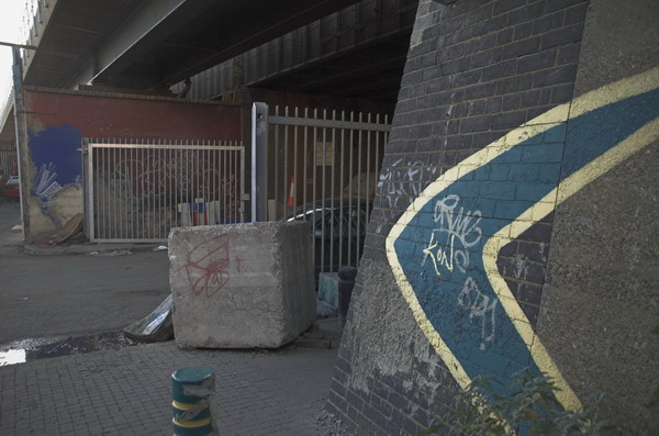
A skeleton around the spine of a tower block in Limehouse, with the wall paper and paint of the flats that were once attached.

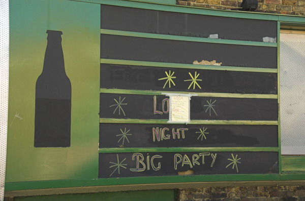
Car sales and the typical bunting around them on the corner of Condor Street aand Salmon Lane. The Royal Navy pub at 53 Salmon Lane was open by 1856 but closed permanently in 1999 and was converted into flats four years later.

The Tidal Basin Pumping Station designed by Richard Rogers and built in 1998 is one of the three pumping stations that prevent the former marshy areas to the north of the Royal Docks from flooding, pumping out surface water into the Thames, allowing their redevelopment by the LDDC. It was built in a colourful post-modern fashion in a deliberate attempt to provide a colourful accent in the area.

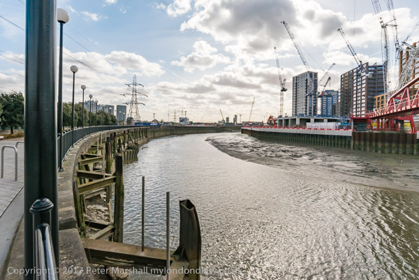
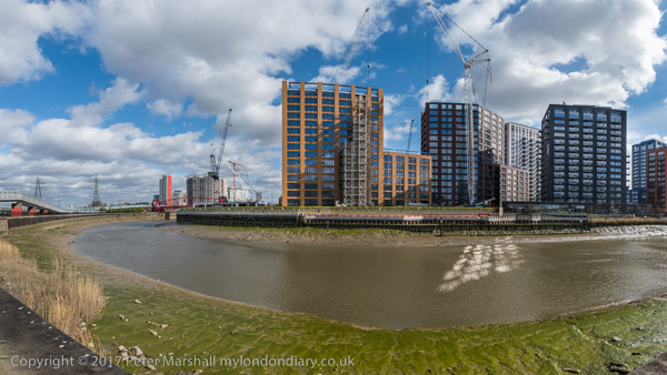
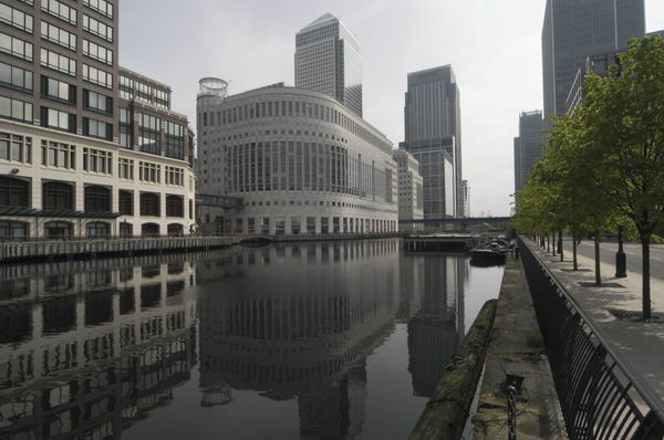
The part of the dock in the left foreground has now been built over, but six cranes remain on the dockside.

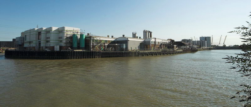
Spillers Millenium Mills were “designed and built by millers William Vernon & Sons of West Float, Birkenhead in 1905” and were the last of the large mills built on the dock, following those of the Cooperative Wholesale Society and Joseph Rank. All the mills were damaged by the 1917 Silvertown explosion. Spillers took over the mill in 1920 and rebuilt it “as a 10-storey concrete art deco building in 1933.” Badly damaged by bombing it was again rebuilt after the war, reopening in 1953. The dock closed in 1981, and the other buildings in the picture have since been demolished.
Flickr – Facebook – My London Diary – Hull Photos – Lea Valley – Paris
London’s Industrial Heritage – London Photos
All photographs on this page are copyright © Peter Marshall.
Contact me to buy prints or licence to reproduce.