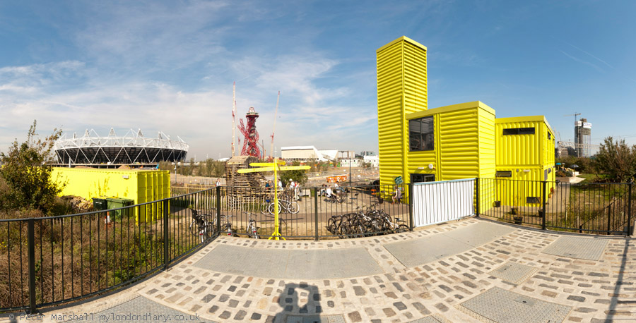
Around the Olympic Site: Thursday 4th January, 2007 looked like being a pleasant enough day for a bike ride around the area where preparations were getting into full swing for the London 2012 Olympics to see how things were going in the area. So I wrapped up warm and put my folding bike on the train to make my way to Stratford.
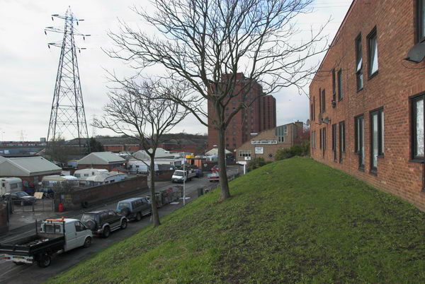
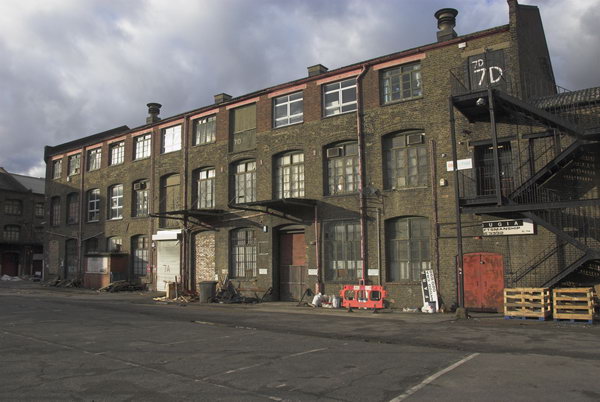
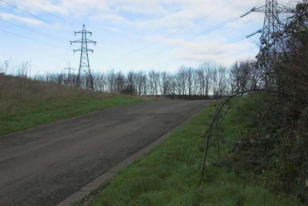
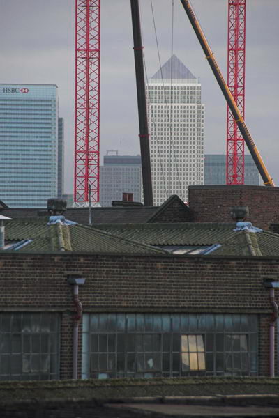
Most of the central area of the site was already closed off to the public, but I was able to cycle to various parts of the perimeter and take photographs, though I was disappointed to find large areas where nothing was yet taking place already fenced off. From Stratford I went around in an anti-clockwise direction and on My London Diary you can read a fairly long piece about where I went and my opinions about what was happening.

It was becoming more and more clear that many of those who lived and worked in and around the area were being very shabbily treated, with nothing being allowed to stand in the way of the Olympic juggernaut. People were being lied to, promises being made and then abandoned.

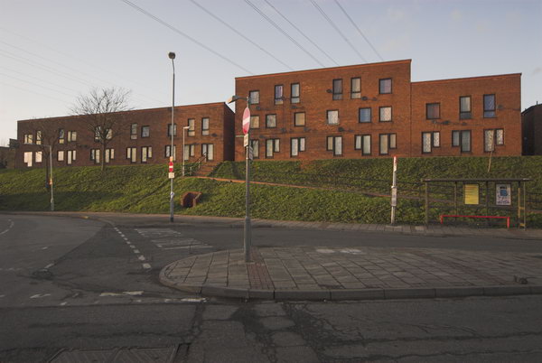
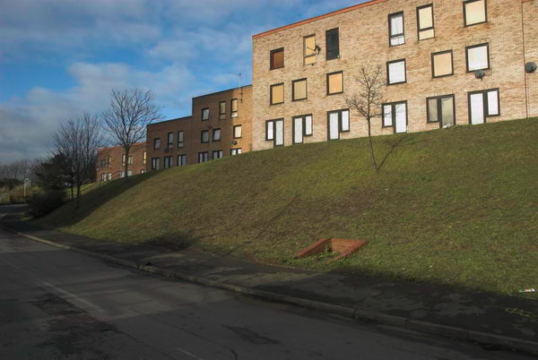
Probably the worst case of this was with the 430 residents of the Clays Lane Housing Co-Operative who were first promised they would be rehoused in conditions “as good as, if not better than” their present estate but were later told “at least as good as in so far as is reasonably practicable.”

The tenants there had already suffered from their cooperative estate with its strong community being transferred against their wishes to Peabody Housing following an adverse Housing Corporation inquiry, losing their mutual status. After their eviction under the Olympic Compulsory Purchase Order (CPO) they were dispersed and many found they were having to pay much higher rents and living in worse conditions in places that lacked any of the feeling of community of Clays Lane.
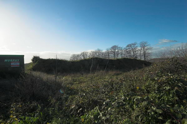
I’d hoped to visit the Eastway Cycle Circuit and the Bully Fen nature Reserve, but both were fenced off, as were some of the footpaths I had hoped to cycle down, resulting in some fairly lengthy detours. Some of the closures claimed to be “temporary” – but some were still closed ten years later.
I commented “Parliament smooths the way for the Olympic Delivery Authority at the expense of people and environment, enabling them to slough off the inconvenience of democracy and justice. The situation for some of the local people – particularly those living in Clays Lane – can only be described as Kafkaesque.”
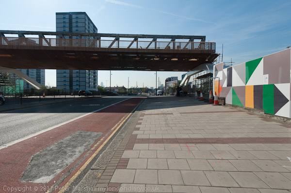
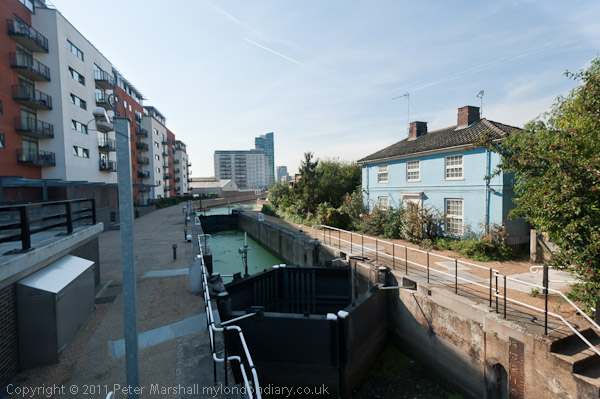
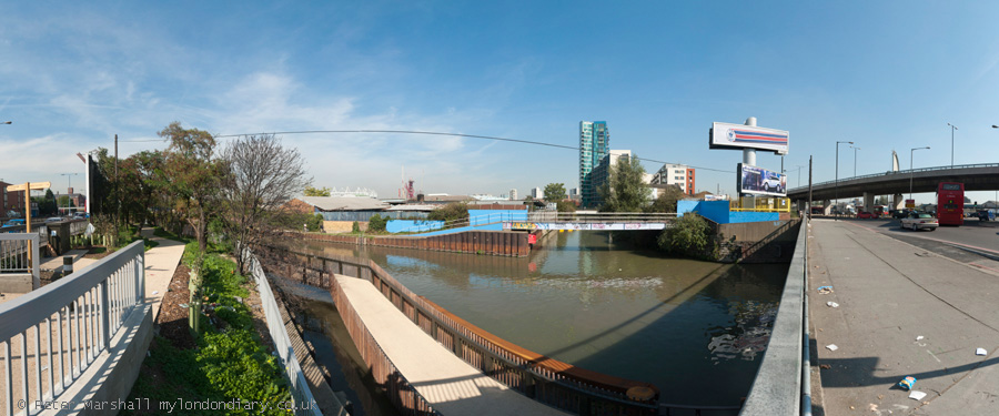
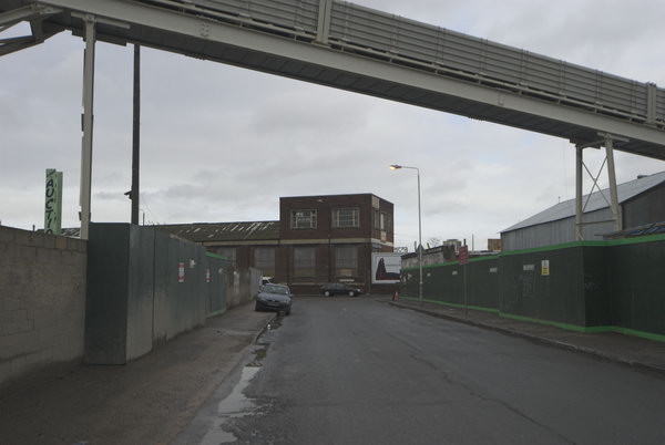
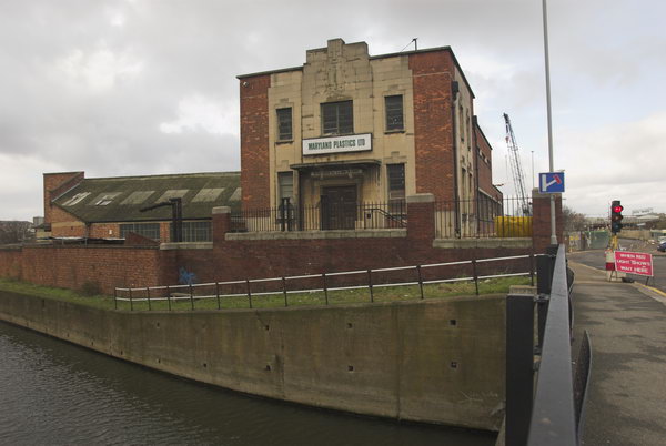
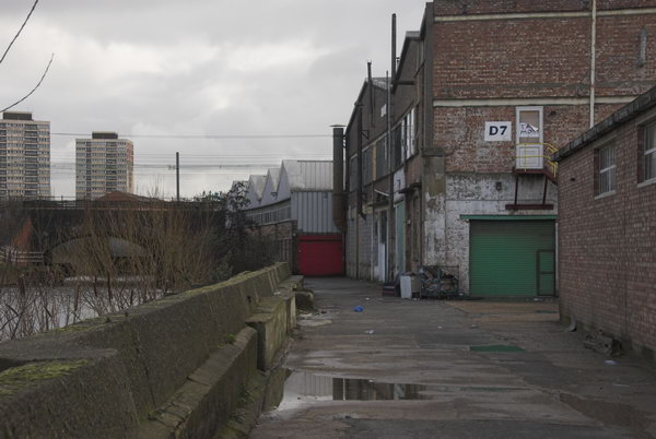
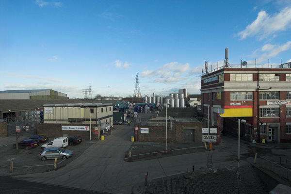
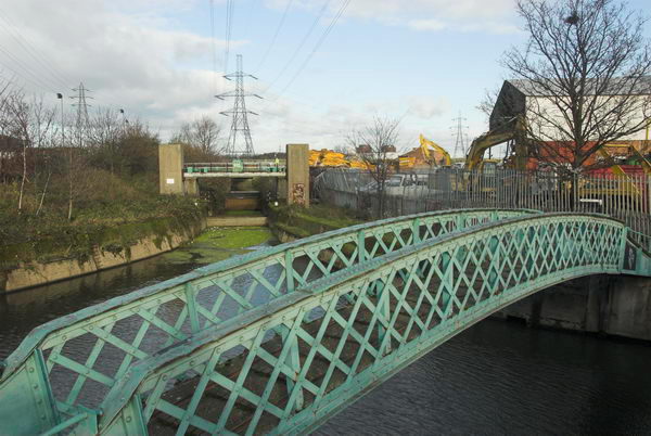
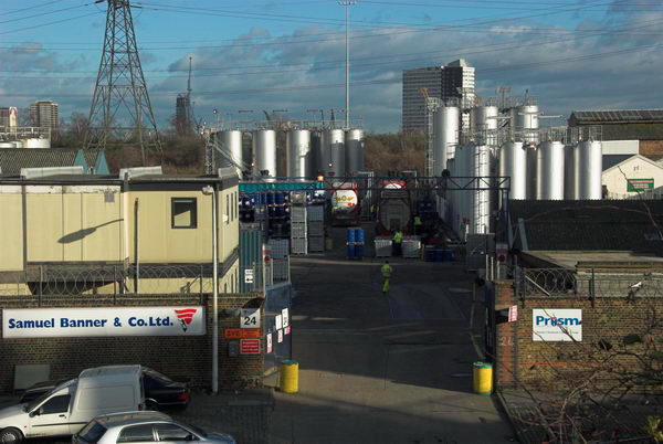
I rode down Marshgate Lane and went onto the Greenway and then returned and went on to Hackney Wick, pausing to eat my sandwich lunch in a sheltered suntrap by the lock on the Hertford Union Canal before riding on the Greenway, turning back where this was blocked and coming back to the Lea Navigation towpath and on to Stratford High Street.
From here I was able to go along a short length of footpath next to the Waterworks River before returning to the Greenway on the other side of the High Street, past some more areas covered by the CPO.
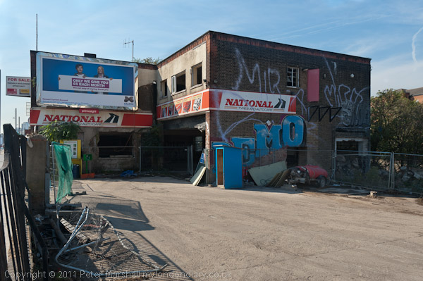
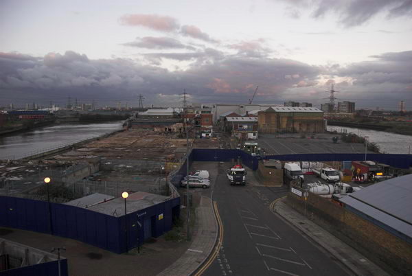
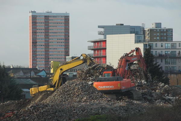
By now the light was beginning to fade, but I rode on to Canning Town and took a brief look (and some rather dark pictures) of the Pura foods site then being demolished before riding over the Lower Lea Crossing to the station for the Jubilee Line back to Waterloo.

Many more pictures begin a short scroll down the January 2007 page of My London Diary.
Flickr – Facebook – My London Diary – Hull Photos – Lea Valley – Paris
London’s Industrial Heritage – London Photos
All photographs on this page are copyright © Peter Marshall.
Contact me to buy prints or licence to reproduce.