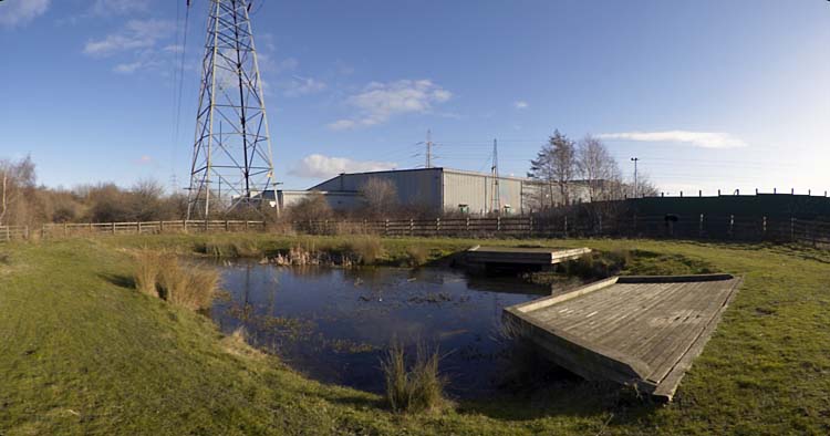
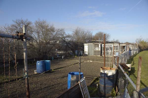
Posts Tagged ‘Hackney Marshes’

Before the Olympics – 2007

Saturday, February 11th, 2023

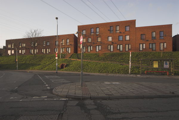
Five years and a few months before the London 2012 Olympic Games took place much of the site was still open although businesses had been moved out and some of the buildings were becoming derelict. I’d had an invitation to a party at a site there the previous evening but hadn’t been able to attend, but on Sunday 11th February 2007 I took my Brompton on the trains to Stratford Station for a tour of the area. It began as a rather gloomy day but the weather at least brightened up later.

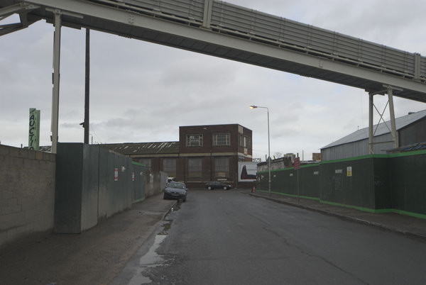
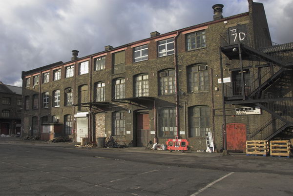
Carpenters Rd from Wharton Road

I did return to parts of the area in later months as the close down was taking effect – and even led a two-day workshop at the View Tube in April 2010. And in June I was there to photograph workmen putting up the blue fence to keep us out of the whole Olympic area until well after the games were gone.

Before the Olympics - 2007
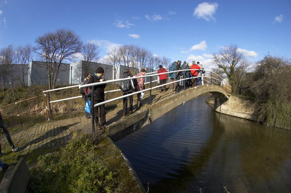
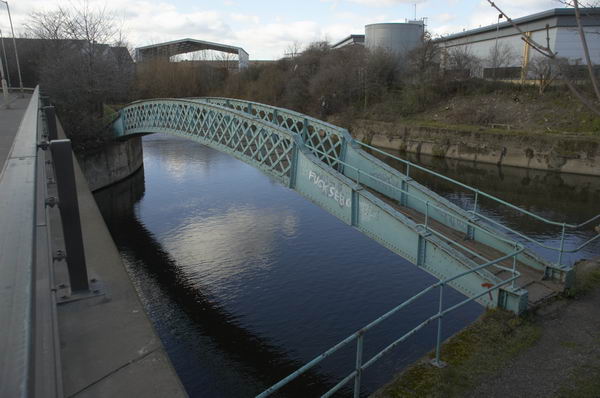
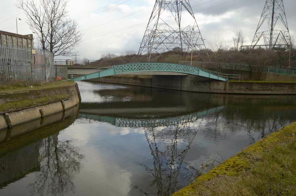
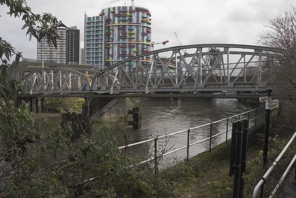
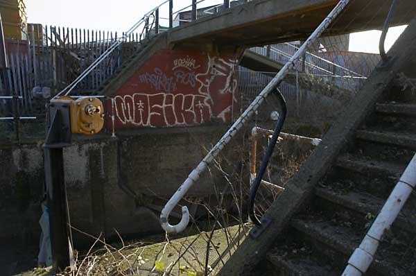
Footbridge to railway works over Waterworks River, Stratford Marsh.

Here’s what I wrote on back in 2007 about my ride around the area, much of which I spent pushing and carrying my Brompton bike along footpaths. But it did make it possible for me to cover rather more ground than would have been possible on foot. I’ve corrected the capitalisation etc. There are several pages of pictures with the original on My London Diary, just a few of which are shown here.

Before the Olympics - 2007
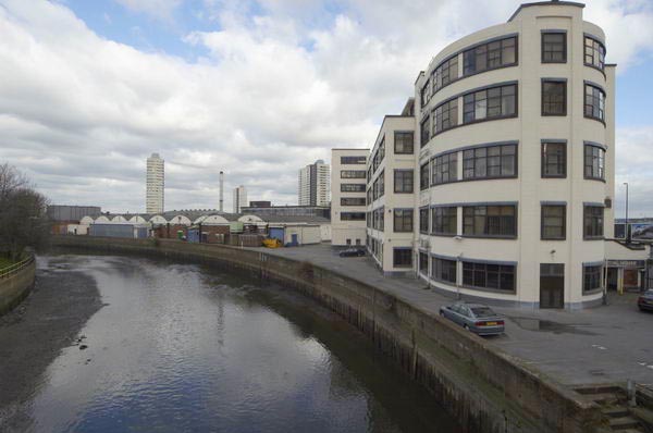
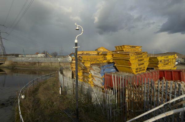
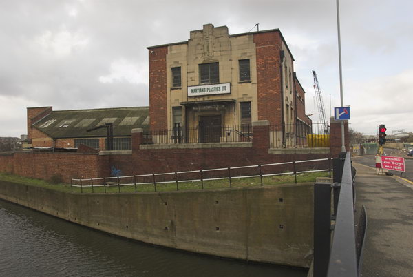
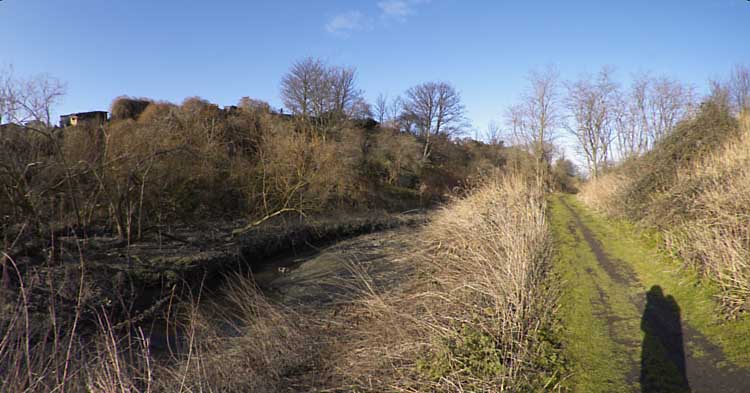
Marshgate Lane and Bow Back Rivers

2012 Olympic Site – Stratford, Sunday 11 Feb, 2007

Before the Olympics - 2007
Tate Moss, home to four artists and a venue for gigs of various kinds, now lost for the Olympics

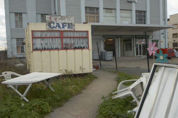
Sunday I went to the Olympic site again, keen to photograph before the area becomes ‘fortress Olympics’ and is destroyed. Many of the businesses have now moved out and some of the small industrial estates are looking pretty empty. Tate Moss, who occupied a site by the City Mill River had staged their final event the night before, but the partying didn’t keep going long enough for me to look in and the place was deserted.

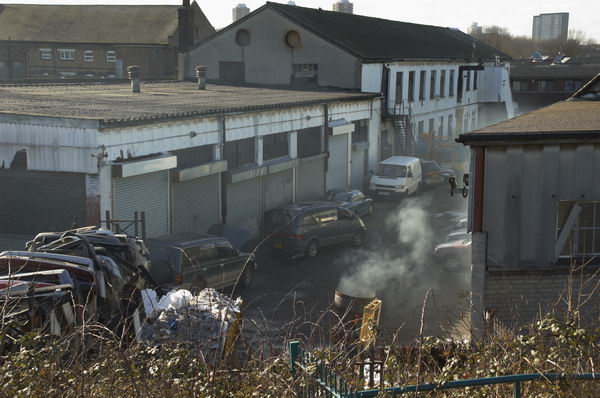
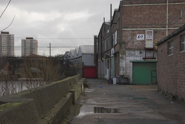
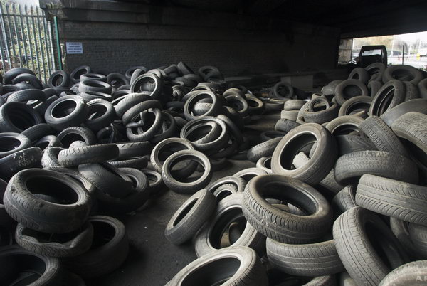
Marshgate Lane under the Northern Outfall Sewer is blocked with old tyres

Some of the riverside paths were open again after the test borings that have been going on, although several were fenced off over a year ago. The gate to the path by the waterworks river from the Greenway wasn’t locked, so I took a walk up this, but I knew that it was no longer possible to get out onto Marshgate Lane so had to retrace my steps.

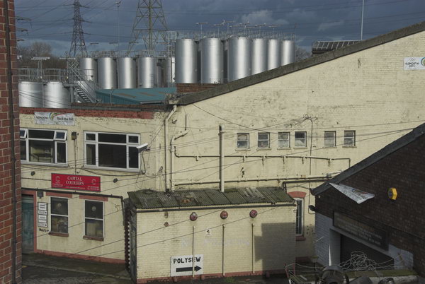
The Marshgate Centre and Banner Chemicals from the Greenway

The route back up to the Greenway from Marshgate Lane was almost completely obstructed by heaps of old car tires, and I had to carry my Brompton for a few yards and climb up onto a grass bank where the steps were completely blocked. Parts of the road were no longer open to cars too.

City Mill River

From there I moved on to Hackney Wick and Waterden road, and I finished the day as the light was getting low on Hackney Marshes, one of the areas in which locally important sporting facilities will be lost at least for a few years, perhaps for good.

Original text on the February 2007 page (you will need to scroll down.)


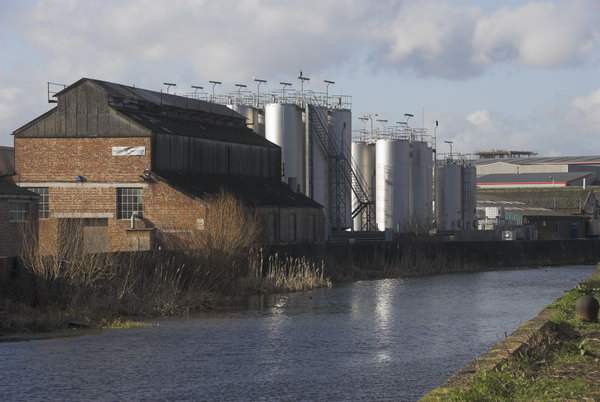
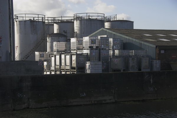
Banner Chemicals

My article back then ended with the paragraph above, but my ride didn’t – I had to get back home. It had previously taken me to a number of places just outside the condemned area, including some that were to be demolished for Crossrail, and it didn’t actually end on the Hackney Marshes, as the pictures on My London Diary demonstrate.

Kings Yard

I decided to ride back to Stratford to get the train home, and that ride took me back past Clays Lane, where the estate was to be demolished for the athletes’ village and I stopped several more times on my way to take more pictures in the gloom. Even when I arrived at Stratford around sunset there was still enough light for a few final images.

Clays Lane

You can see many more pictures from the entire ride on My London Diary


Before the Olympics – A walk in 2005

Monday, January 23rd, 2023

I published this post seventeen years ago on My London Diary, following an organised walk around the Olympic Site by locals while London was making its unfortunately successful bid to host the 2012 games. I’ve corrected the capitalisation but otherwise it remains as written. Going around the area some ten years after the games there is nothing I would want to change in the piece, though the legacy has turned out even worse than we feared back then, with so many broken promises.


Olympic site? – Stratford and Temple Mills, 23 Jan, 2005

Before the Olympics
Carpenters Road lock, Old River Lea, London

I first got to know the lower Lea (or Lee) valley around twenty-five years ago, when many of the traditional industries, many based around the Lea Navigation, had or were just ending. Parts of it were almost a dark continent, with the Bow Back Rivers machete country. Secateurs became an essential photo accessory, and together with a heavy duty tripod swung with abandon hacked a path alongside streams overgrown with bramble, nettles and bushes.

Before the Olympics
Channelsea River, allotments and path near Eastway Cycle Circuit

Since then, things have changed, with proper paths, nature trails, signposts and more, although it remains an area of relative peace and quiet. All this could soon change. You can hardly move in or around London without the almost continuous reminder of the 2012 Olympic bid. Large sums are being spent to convince us it is a good thing, despite concurrent claims that over 70% of Londoners already support it.

Before the Olympics
Bully Point Nature Reserve, Stratford

For this particular area of London it will mean dramatic changes, and whatever the good intentions of the developers (and I’ve read them) these will probably be environmentally disastrous. Development on this scale almost always is. Even the proponents acknowledge short-term problems, while local environmentalists point out the massaging and misrepresentation in parts of their planning, as well as the failure to ensure a proper post-games future for the area. While some of the proposals make sense for the area, the short-term priorities of the games will result in many that do not.

Before the Olympics
Off-road tracks at Eastway Cycle Circuit, Temple Mills

I’m not against the Olympics as such; in some ways they could be a good thing for the country, although the whole movement has been allowed to get seriously out of hand. I’m cynical enough to know that much of the enthusiasm for London 2012 comes from companies who are already making serious money from the promotion and will make even more should they happen, and realistic enough to know that any local opposition to them can only enforce very minor changes to their impact. Such local views are likely to carry far more weight on developments in the area should the London bid fail.

Allotments on ridge between Old River Lea and Channelsea River, Stratford.

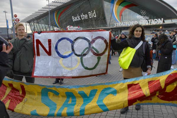
Sunday I cycled from Stratford to Temple Mills to join a walk around the northern part of the site, organised by No To London 2012, a coalition of East London community groups and social justice campaigners. A group of just over twenty of us spent an enjoyable couple of hours looking at the area and the impact the Olympic developments would have. it was an opportunity that IOC delegates are not likely to have, with their view of these particular areas expected to be with a pair of binoculars from a distant tower block.

Clays Lane estate, Stratford

We stood first of all on a part of Hackney Marshes, watching the local footballers play on an area marked for a vast coach park, wondering how long it would take for it to be returned to recreational use, before making our way south across the A12 to the Eastway Cycle Circuit, now a well-used recreational area which will also be dramatically changed, becoming in the long term part of a larger Velopark, and on to the recently established Bully Point Nature Reserve at the southwest of the site between the Channelsea River and the River Lea, a viewpoint over the major land-forming currently taking place as a part of the Channel Tunnel Rail Link works and the future development of Stratford City.

Wick Field on edge of Hackney Marsh

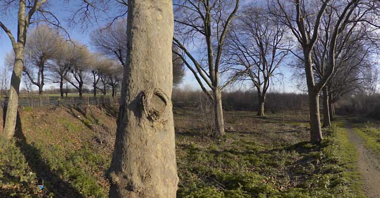
Returning to Eastway, we climbed over a barrier onto Arena Field. Until a few years back this was a cricket ground, but travellers occupied it and the pavilion was burnt down. It was then used as a landfill site, raising the overall ground level around twenty feet. On the other side of Eastway we walked through Wick Field, site of massive tree-planting by Hackney. The new path we walked through, designed and made by one of those on the walk, was pleasant if muddy.

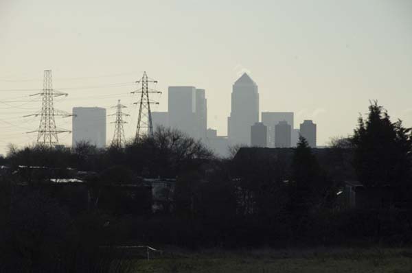
Canary Wharf towers from Eastway Cycle Circuit

At the end of the walk I went back to the bench in Wick Field, in the centre of a fine row of plane trees running parallel to the Lea Navigation and sat down to eat my lunch. In front of me a grassy fire-break path stretched into the distance, marred only slightly by dimly seen lorries at its end on the elevated roadway. As I sat there, the unmistakable low-slung red-brown shape of a fox strode slowly across the path a hundred yards away.

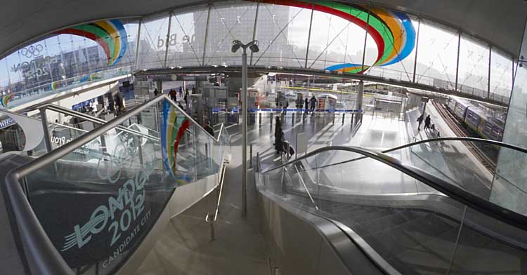
London 2012 Olympic advertising at Stratford Station

I made my way back to Stratford by Leyton, returning to look at some of my memories – St Josephs Cemetery and the nearby crossroads on Langthorne Road, the stump of Claremont Road and then a few pictures around the centre of Stratford itself.


You can see more pictures from the walk and my cycle rides from and to Stratford Station before and after the walk http://mylondondiary.co.uk/2005/01/jan3.htm with the original posting. All pictures were made with a Nikon D70, with some of the panoramas stitched together from several images.

You can see these and more pictures from the area on my Lea Valley web site, Some are also in my book Before The Olympics, first published in 2010, ISBN: 978-1-909363-00-7 still available from Blurb both as an expensive paperback or as a PDF.


Towards Hackney Wick 1982

Wednesday, December 30th, 2020

I continue my virtual walk downriver towards Hackney Wick.

Clapton Park Estate, Clapton Park,  Hackney, 1982 32k-64_2400

Past the Clapton Park Estate: Norbury Court, Bakewell Court, Ambergate Court and Sudbury Court at 172 Daubeney Road, each 20 stories with 114 flats, approved by Hackney Council in 1968. Three were demolished by explosions in 1993-5 but Sudbury Court was sold to a private developer who gave it a relatively minor make-over and renamed it Landmark Heights.

Clapton Park Estate, Clapton Park, Hackney, 1982 32k-53p_2400

Somewhere I passed a canal-side factory –

Hackney Wick, Tower Hamlets, 1983 36n-46_2400

as well as the wide expanse of Hackney Marshes, with what must surely be more football pitches and anyone needs

Hackney Marsh, Hackney Wick, Hackney, 1982 32z-62_2400

as well as some wilder areas where the hogweed grows

Hackney Marsh, Hackney Wick, Hackney, 1982 32u-13_2400

and was ambushed by a group of children

Hackney Wick, Hackney, 1982 32k-51_2400

who demanded I take their pictures.

Hackney Wick, Hackney, 1982 32k-42_2400

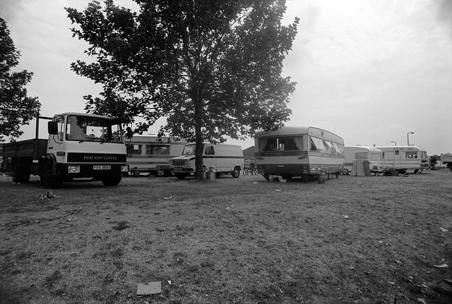
Clost to Eastway I came across a travellers site

Travellers site,  Eastway, Stratford, Newham, 1983  36o-12_2400

close to the River Lea, here looking a very serious river away from the navigation.

River Lea, Eastway, Stratford, Newham, 1983  36o-13 (2)_2400

My walk continued but in a less linear fashion wandering around Hackney Wick – in the next episode. You can see all the pictures and more in my album River Lea – Lea Navigation 1981-1992.


All photographs on this and my other sites, unless otherwise stated, are taken by and copyright of Peter Marshall, and are available for reproduction or can be bought as prints.