Uganda, Green Belt, Olympic Site: Thursday 9th October 2008 was Uganda Independence Day and I began work at a protest at the Ugandan Embassy in Trafalgar Square against the persecution of gays in that country. In Parliament Square I met protesters who had come from Dorset to bring a petition against a proposed new town on Green Belt land on the outskirts of Bournemouth and Poole. Then as I had a few hours before a meeting it was an opportunity to take another walk to see what I could by then of the fenced off Olympic site.
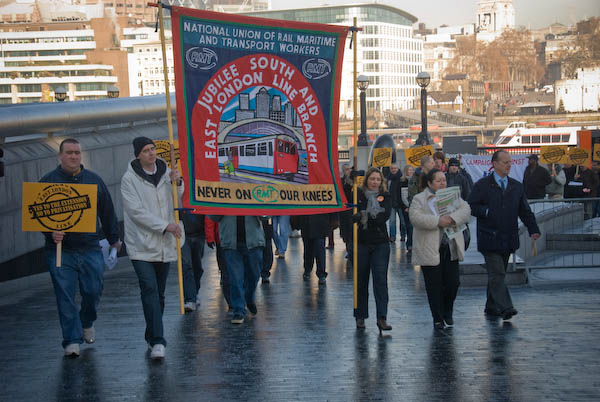
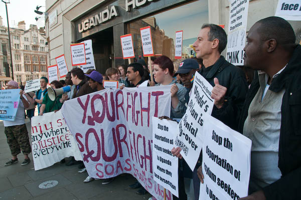
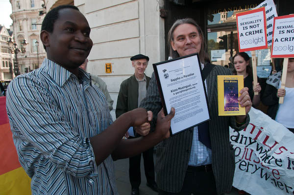
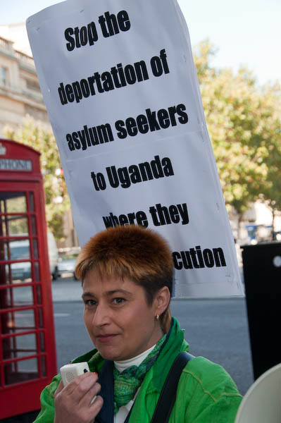
Demonstration Against Ugandan Human Rights Abuse
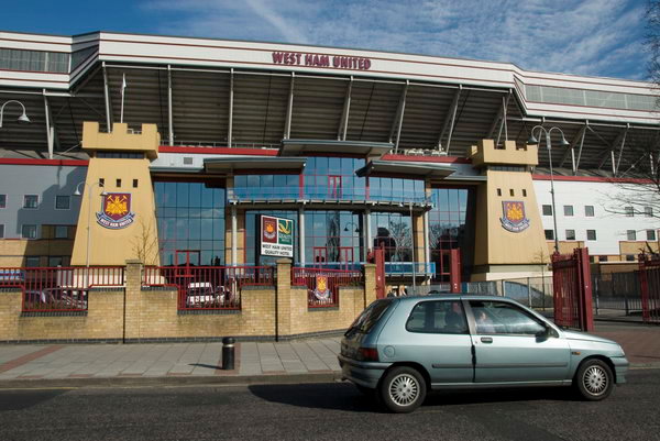
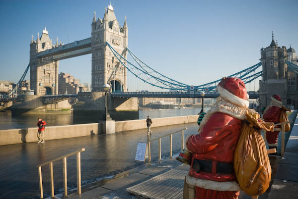
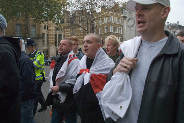
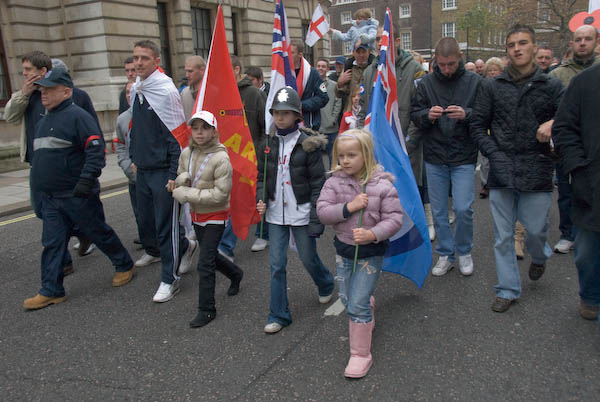
Ugandan Embassy, Trafalgar Square
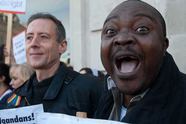
As I wrote in 2008, “October 9 is Uganda Independence Day, but for gay Ugandans in particular there is little to celebrate… “Homosexuality is illegal in Uganda and the penalty can be imprisonment for life, and gay rights campaigners have been imprisoned and subjected to torture. The Ugandan Anglican church is a leading force in anti-gay campaigns.”
The Ugandan government intimidates and tortures gay people and excludes them from healthcare. British arms exports have been used against protests there, killing at least three demonstrators by 2008.
Ugandans fleeing the country because of persecution and seeking asylum in the UK were among those forcibly sent back to the country without proper consideration of their cases under our “fast-track” process which was later declared unlawful.
The LGBTQ rights situation in Uganda is now even worse following the passage of ‘the Anti-Homosexuality Act, 2023, which prescribes up to twenty years in prison for “promotion of homosexuality”, life imprisonment for “homosexual acts”, and the death penalty for “aggravated homosexuality“.’
More on My London Diary at Ugandan Human Rights Abuse.
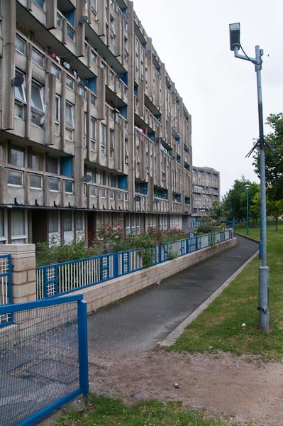
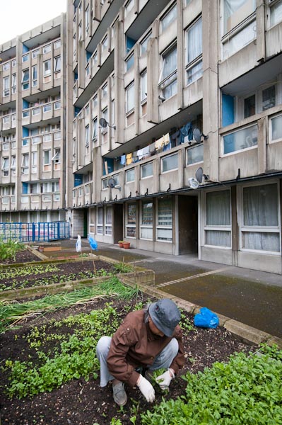
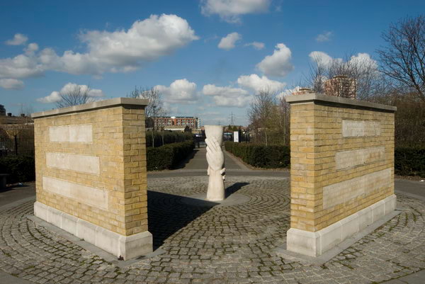
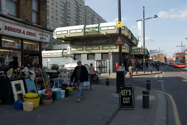
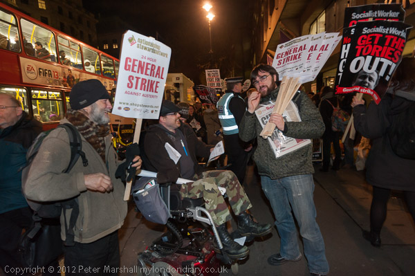
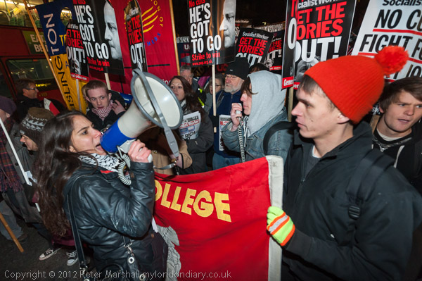
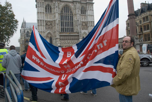
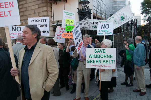
Green Belt Protest Rally
Westminster
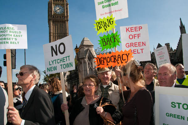
People from villages on the outskirts of Bournemouth and Poole had come to protest against the proposed Lychett New Town on Green Belt land in Dorset.
Apparently Hazel Blears, Secretary of State, had told Dorset County Council it must build a New Town at Lytchett Minster with over 7,250 houses in the Green Belt around Poole & Bournemouth, and local residents had set up a campaign about it.

Octavia Hill had first proposed the idea of green belts in 1875 but it was the 1947 Town and Country Planning Act which allowed local authorities to set them up and they were further encouraged to do so by Tory Housing Minister Duncan Sandys in 1955. The idea was to put an end to the unplanned sprawl of ribbon development along major roads leading out from all our cities and provide areas for local food growing, forestry and outdoor leisure.
As I commented, “it has made a valuable contribution to improving the quality of life in our towns and villages and to conserving the countryside.” But as I also wrote, “Many of us feel that the whole of the current planning structure works against sensible and ecological development, but the answer to this is not to relax planning controls but to bring in improved – and in some respects tighter – controls.”
Unfortunately the changes announced by Labour in 2024 which include some Green Belt being re-classified as ‘Grey Belt’ seem largely intended to make things easier and more profitable for developers.
Consultations took place in 2025 over proposals for Lytchett Minster & Upton in the Dorset local plan which lists opportunity sites for over 5000 new homes – and a new petition was set up opposing them.
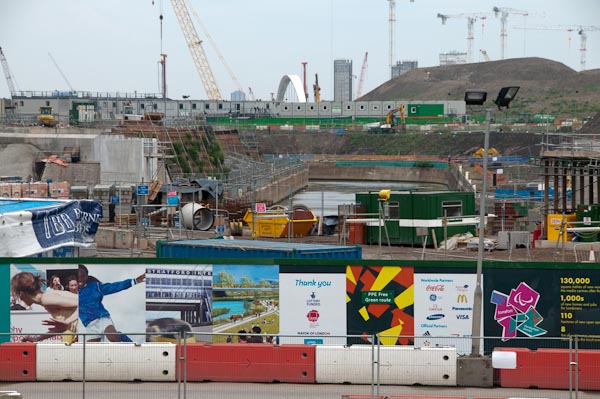
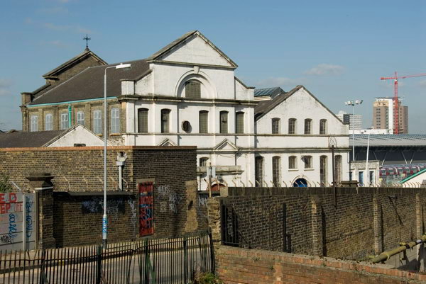
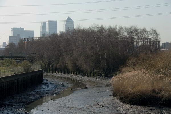
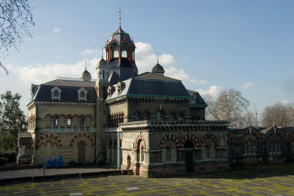
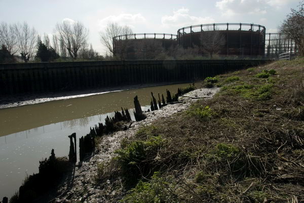
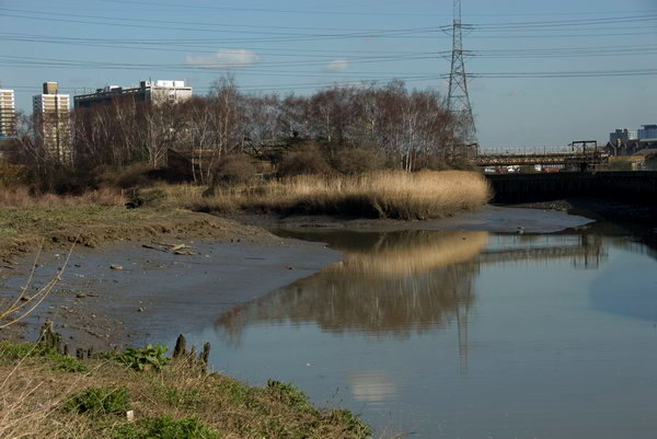
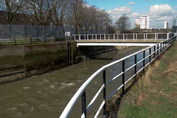
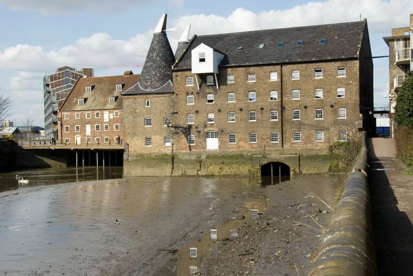
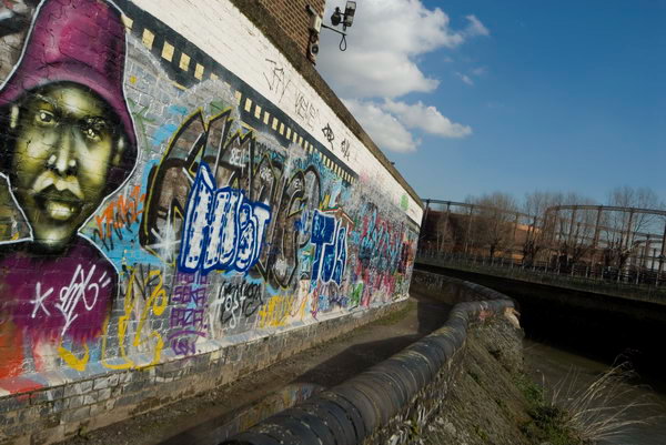
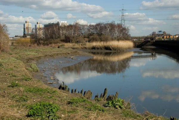
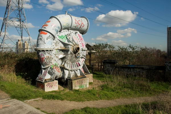
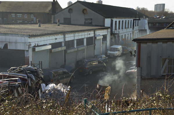
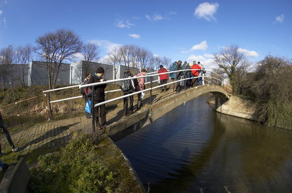
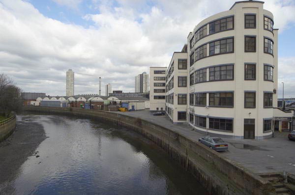
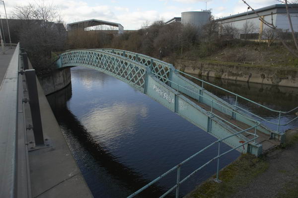
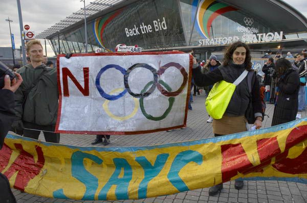
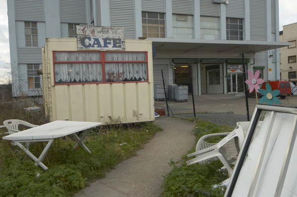
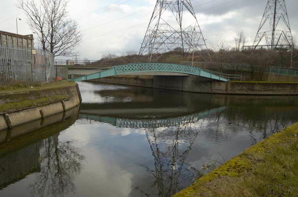
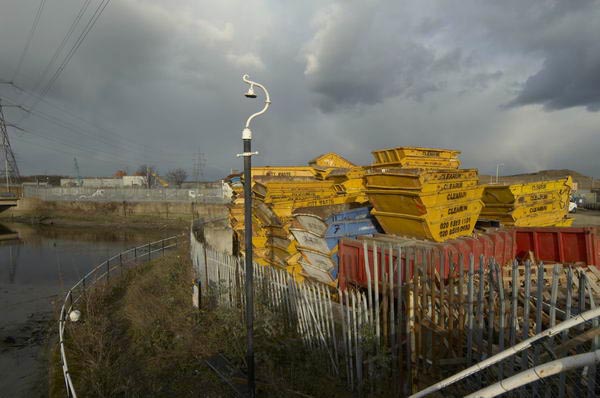
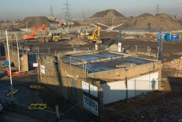
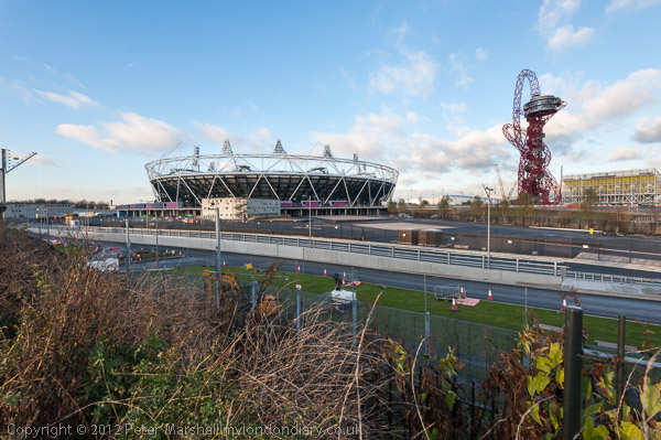
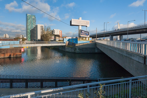
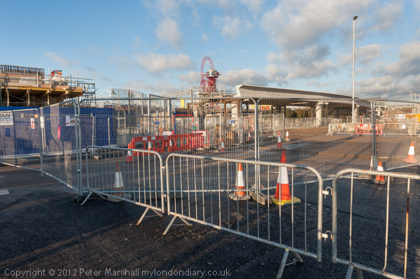
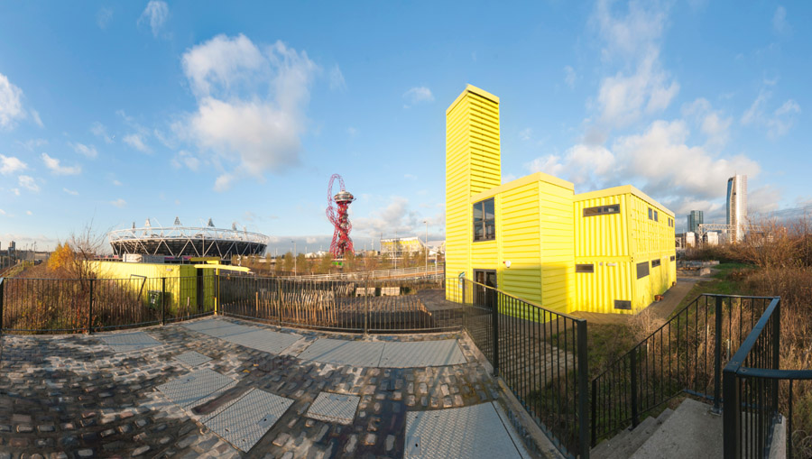
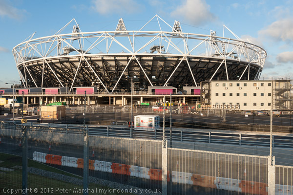
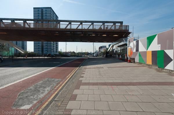
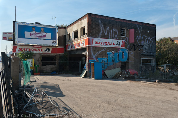
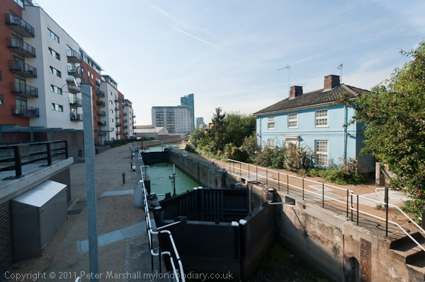
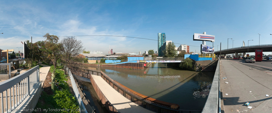
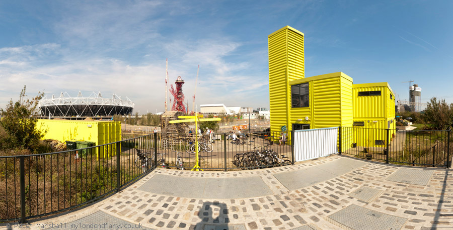
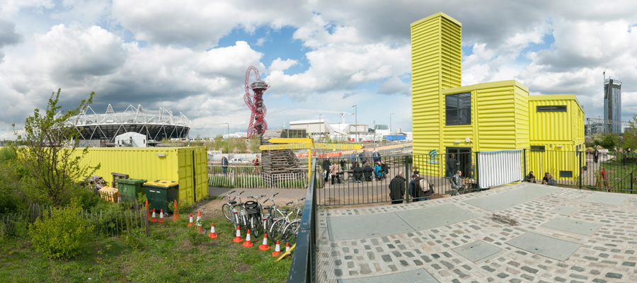
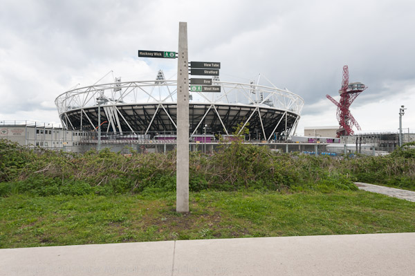
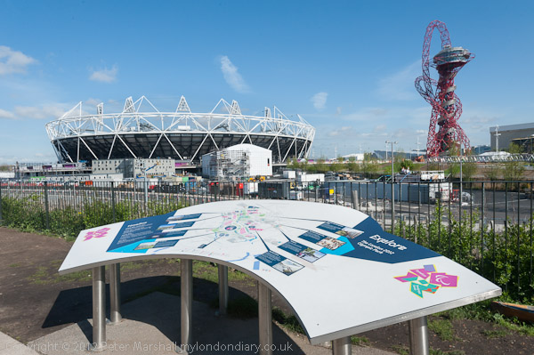
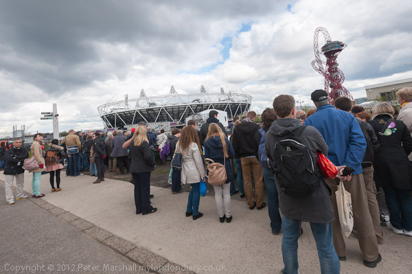
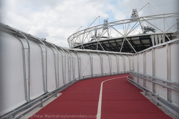
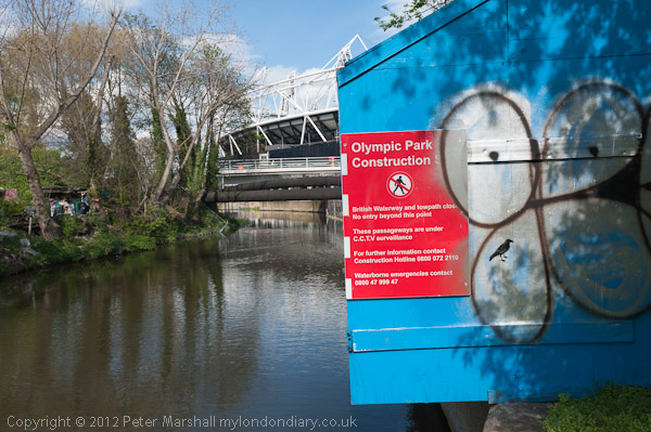
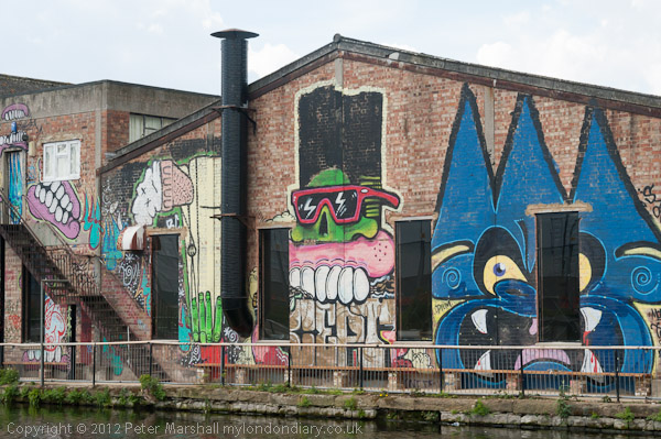
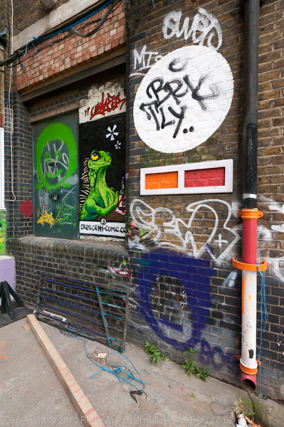
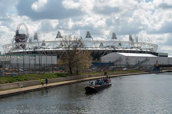
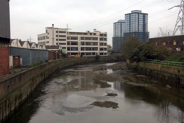
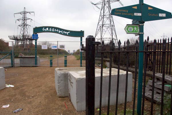
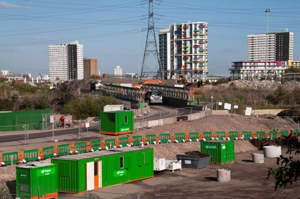
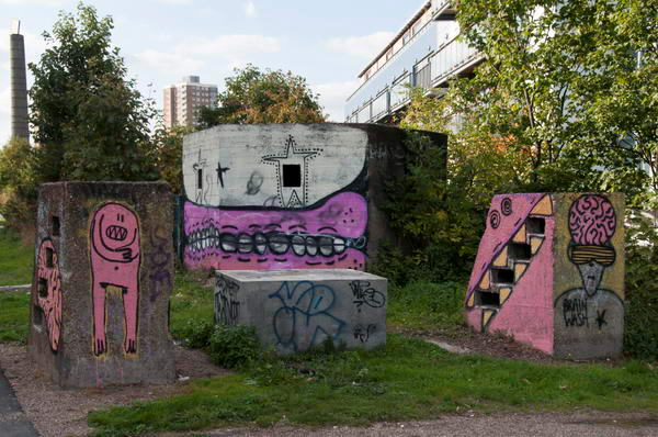
Stratford Marsh (Olympic Site) & Hackney Wick
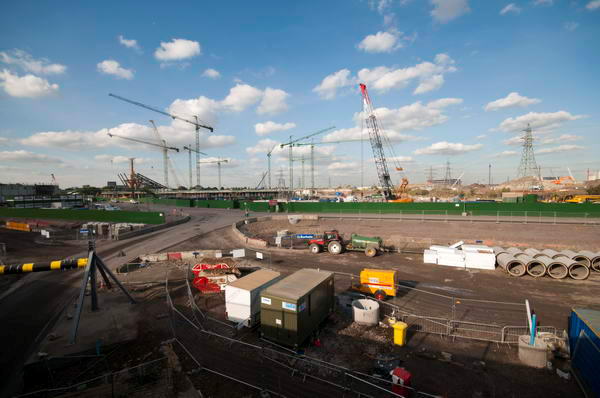
“It has always been an interesting walk through Stratford marsh on top of the Northern Outfall sewer, although rather more so in the past when there were so many places one could leave it to explore further rather than coming up against the big blue fence.”
I commented back then of my annoyance at the statements made by the Olympic authorities that after the Olympics they would be opening up the previously inaccessible area to the public. In fact they were destroying the area where it had always been interesting to wander along the various largely riverside footpaths – many of which had been cleared to make them easier to walk in the 1990s.
You can see many pictures that I took in the area on my Lea Valley website And as a replacement we now have a park which seems rather arid. Perhaps by 2112 it might look better.
In 2008 most of the Olympic area was fenced off, but I enjoyed the walk along the ‘Greenway’ on top of the Northern Outfall Sewer to Hackney Wick where I dound much to interest me and “taking the train back from Hackney Wick to Stratford there were many signs of fairly frenzied activity visible.”
Many more pictures, particularly around Hackney Wick at Stratford Marsh (Olympic Site) & Hackney Wick.
Flickr – Facebook – My London Diary – Hull Photos – Lea Valley – Paris
London’s Industrial Heritage – London Photos
All photographs on this page are copyright © Peter Marshall.
Contact me to buy prints or licence to reproduce.