Lea Navigation & Olympic Site: Saturday 1 October 2011 was a fine day and I decided to go early to Stratford and take a photographic walk around Bow & Stratford Marsh, before a meeting at the View Tube on the Greenway overlooking the Olympic site.
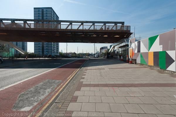
I took the Jubilee Line to Stratford and then walked over the footbridge leading to the Carpenters Estate and then on to Stratford High Street. A great deal of new building was taking place there, including a new bridge to carry the Olympic crowds across the busy road on a route from West Ham station along the Greenway. The bridge was demolished shortly after the games ended.
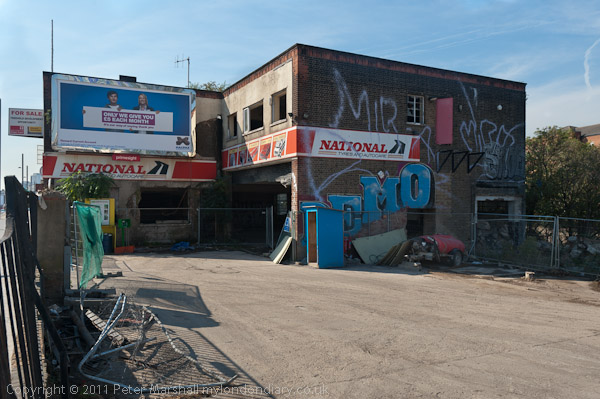
This section of the Greenway – the path on top of Bazalgette’s Northern Outfall Sewer rebranded in the 1990s – was closed off by fences and I kept on walking down the High Street. A few yards along was one of the few remaining commercial sites, though by then derelict and for sale. It was demolished and the site flattened for the Games, though it was only five years later than penthouses on the new block here were offered for sale.
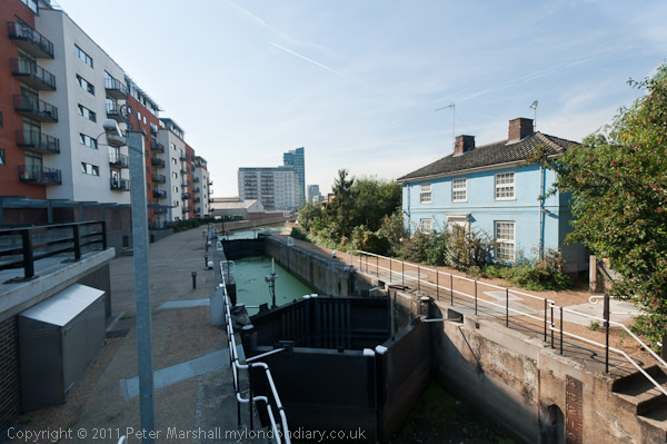
A few yards off the High Street was City Mill Lock, now behind a row of flats. I continued on to the Lea Navigation. The industrial sites on the High Street had now been cleared and there were now huge advertising structures.
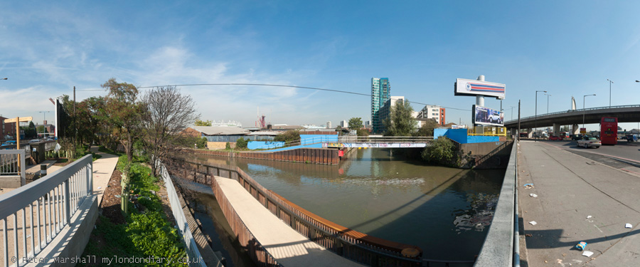
I had come mainly with the intention of making panoramic images, but these don’t display well on this blog, but you can see them larger on My London Diary. A footway now carries the towpath under the Bow Flyover and the High Street and then across the canal where the towpath continues on the opposite bank.

I made far too many pictures around this part of the canal before I could drag myself away, although the sky was not at its best for panoramic images and I would have prefered more distinct clouds rather than the large areas of blue. Only the first section of Cook’s Road was still open, but I could walk along beside St Thomas’s Creek to Marshgate Lane and then make my way to the bright yellow View Tube.
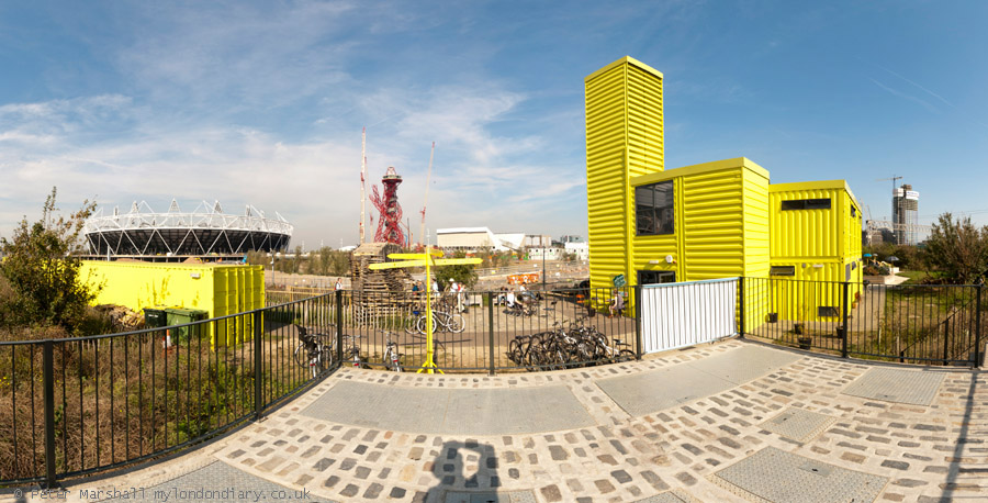
Here I was one of five photographers taking part in what was billed as a ‘Salon de Refuse Olympique‘, showing our artistic responses to the area. It was interesting to see the very different work that the five of us presented. You can read more about this in a post published here two days after the event in 2011, Northern Outfall Sewer 1990, 2005, 2010… which includes the three pictures I contributed for a forthcoming book as well as a lengthy text based on my presentation.

The Olympics have certainly changed this area, and the changes which were showing back in 2011 have continued. Many more pictures – both panoramic and normal aspect ration – in my post on My London Diary at Lea Navigation & Olympic Site.
Flickr – Facebook – My London Diary – Hull Photos – Lea Valley – Paris
London’s Industrial Heritage – London Photos
All photographs on this page are copyright © Peter Marshall.
Contact me to buy prints or licence to reproduce.


