Three Mills, Xenophobia & Infinite Love: On Saturday 11th February 2006 I went to an industrial archaeology meeting in the morning at Three Mills, one of the country’s most important surviving early industrial sites on the River Lea in Newham on its border with Tower Hamlets, then went back into central London for a rally against Xenophobia followed by a free Valentine street party at Piccadilly Circus. I wrote about all three on My London Diary, with of course photographs but like all posts on that site at the time this is a little difficult both to find and read – so I’ll repeat it here with proper capitalisation, minor corrections, a few extra links to add context and links to all the pictures.
Three Mills, Bromley-by-Bow
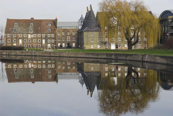
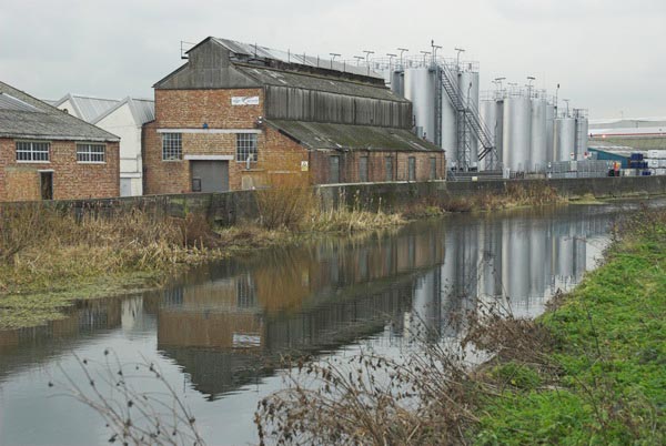
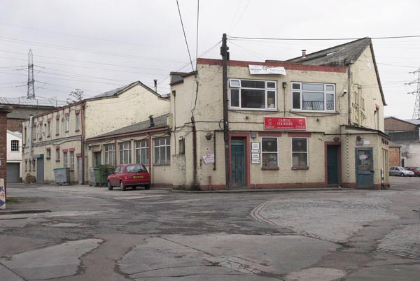
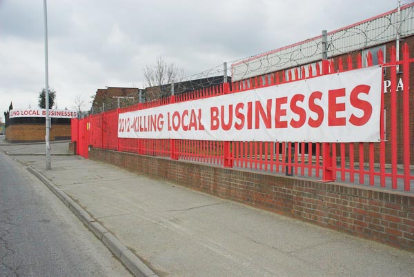
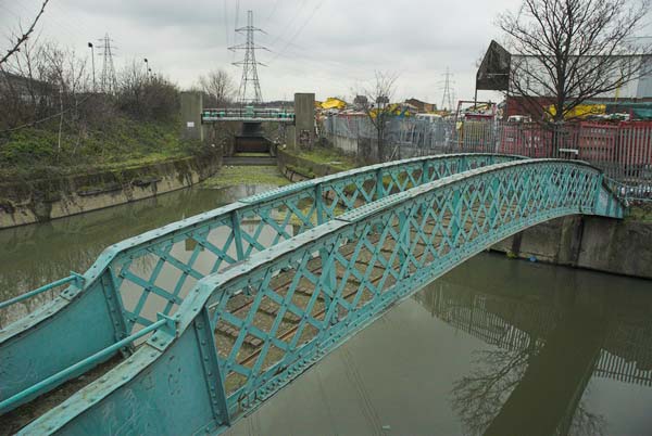
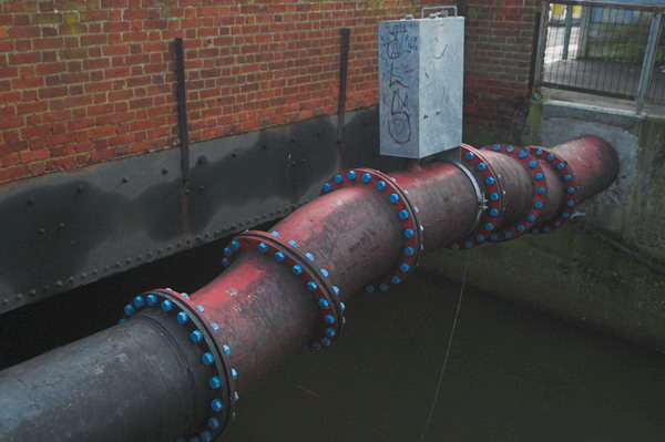
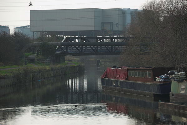
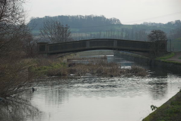
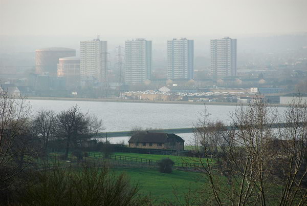
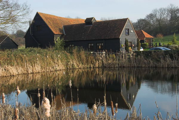
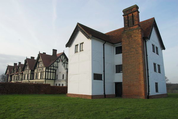
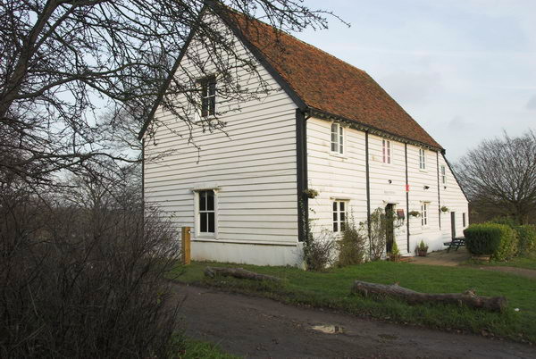
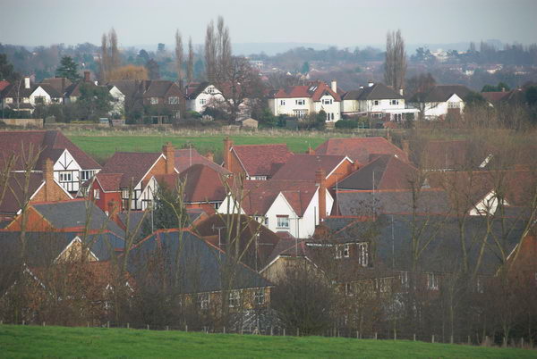
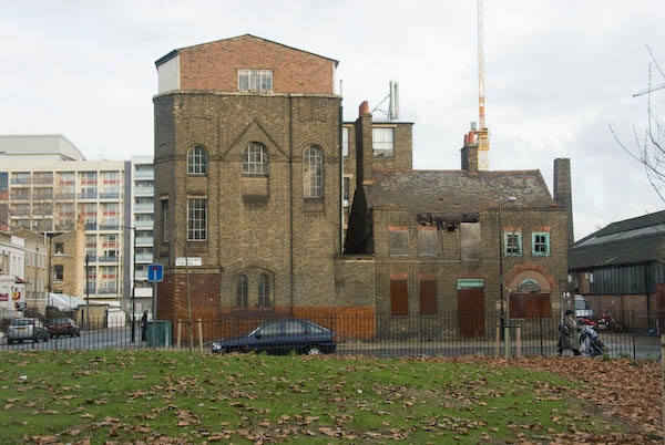
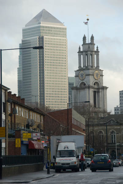
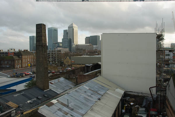
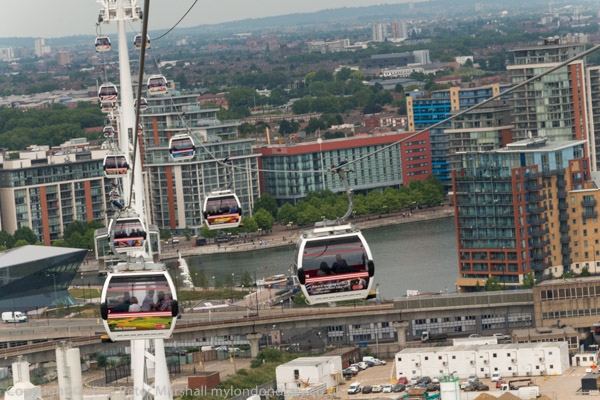
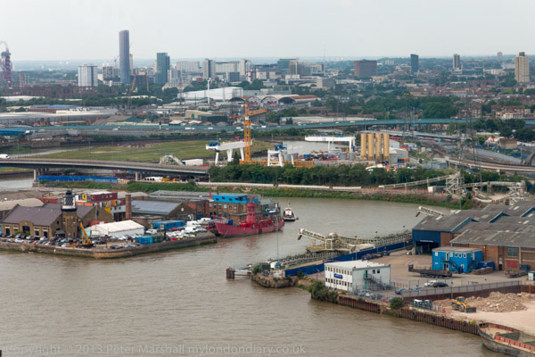
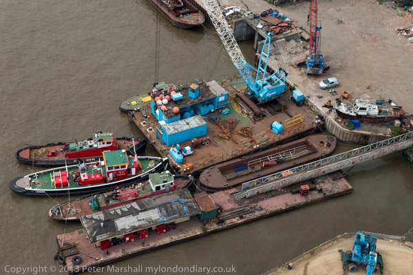
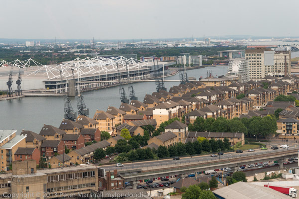
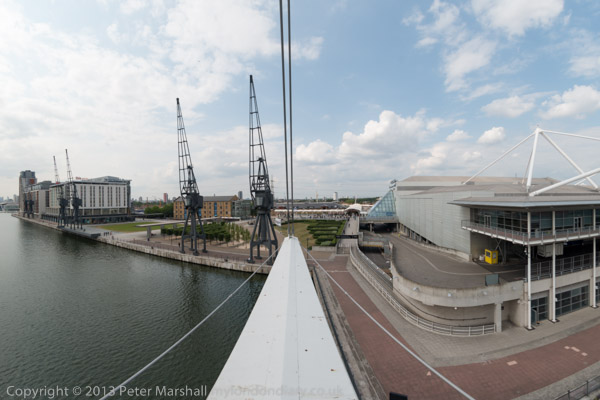
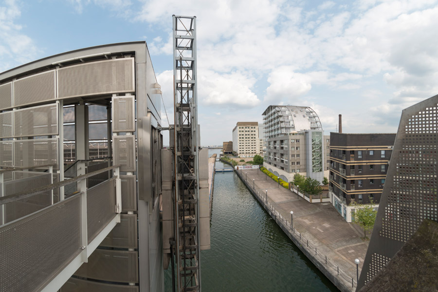
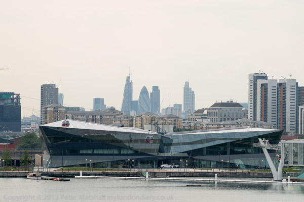
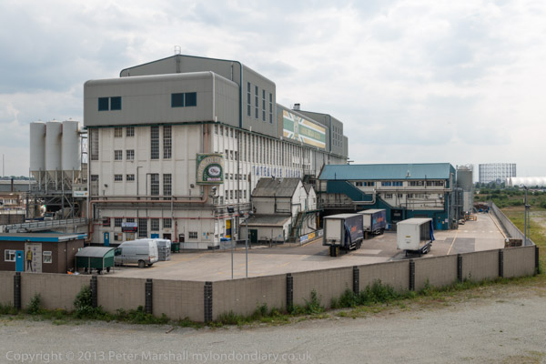
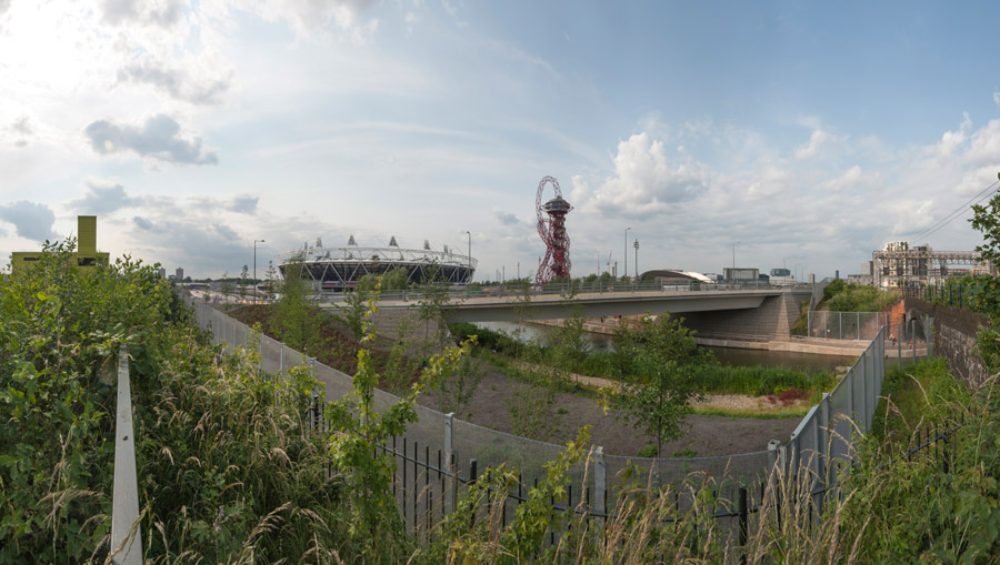
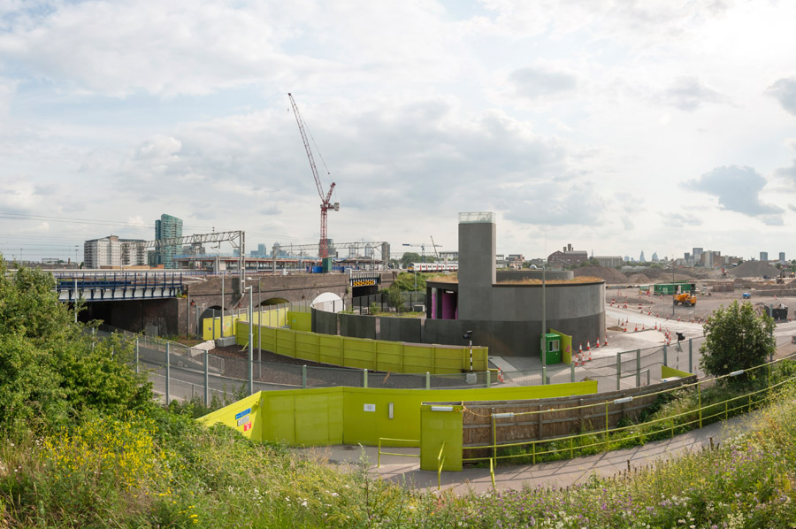
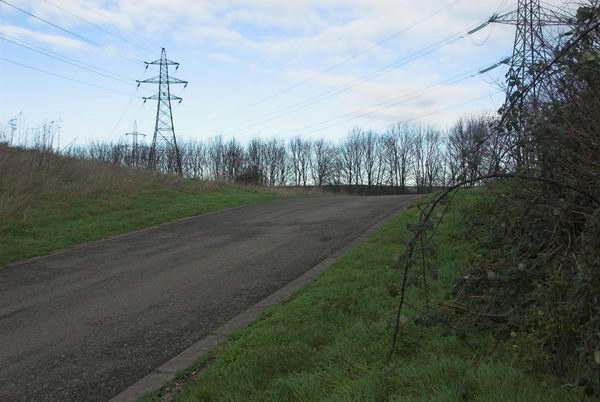
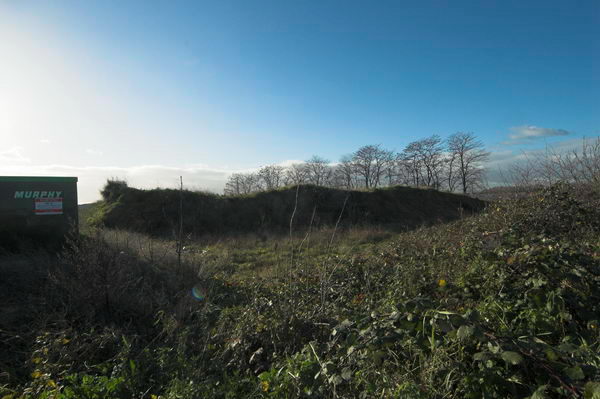
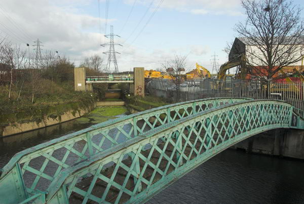
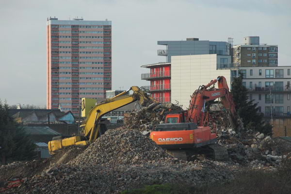
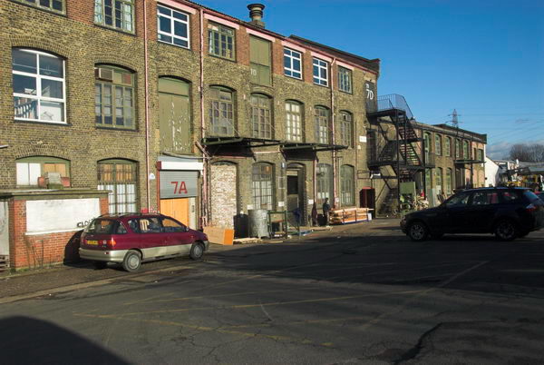
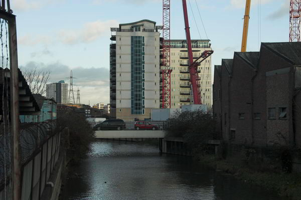
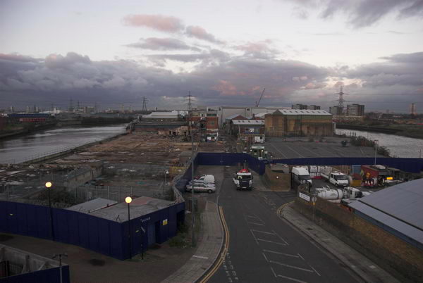
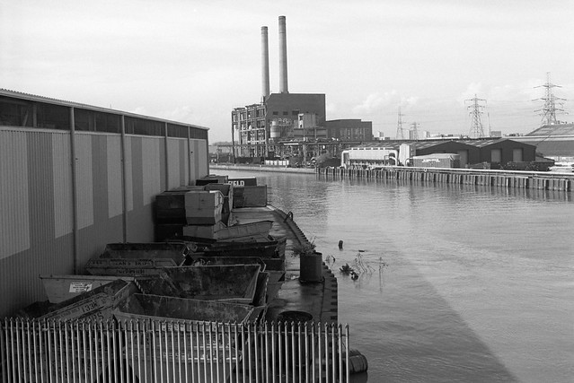
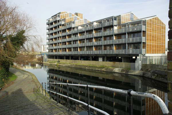
Saturday I was up early on my way to a meeting at Three Mills, Bromley-by-Bow. These mills are almost all that will be left standing in this area of the Lea valley by the development for the 2012 London Olympics and a huge growth in housing. If you want to see the Lower Lea Valley, you’d better get down there soon before it all disappears. The plans are not so much regeneration but more a total replacement.
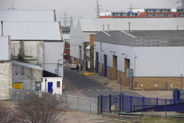
I arrived early so I could take a short walk and a few pictures, and after lunch was able to take some pictures from the upper floors of the Mill Owners House. The whole area is one that played an important part in the development of many industries, and is littered with sites of interest to industrial archaeologists, while buried beneath these are doubtless important remains from medieval and earlier times. An important part of our heritage, and all likely to be bulldozed with at most a token report being made.
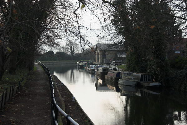
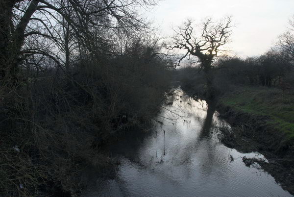
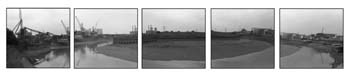
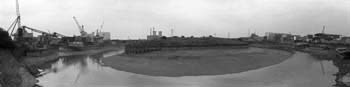
I first visited the Lea Valley in the 1980s. You can see a few of my pictures from it on my unfinished site River Lee – Lee Valley, although this covers a rather wider area than the Olympic site. There are also some pictures from the area elsewhere on this site – use the search box.
more pictures
United Against Xenophobia – Trafalgar Square
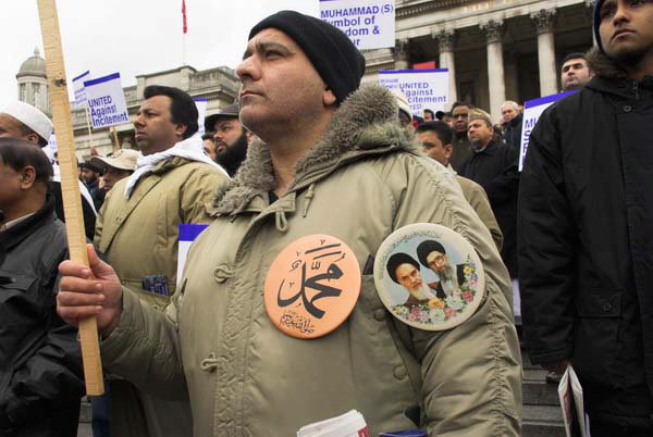
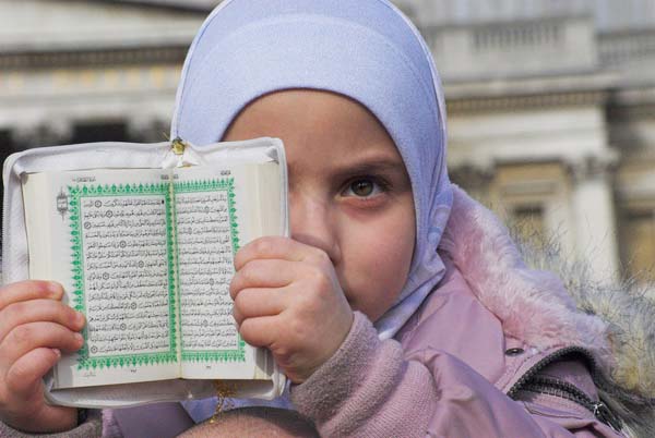
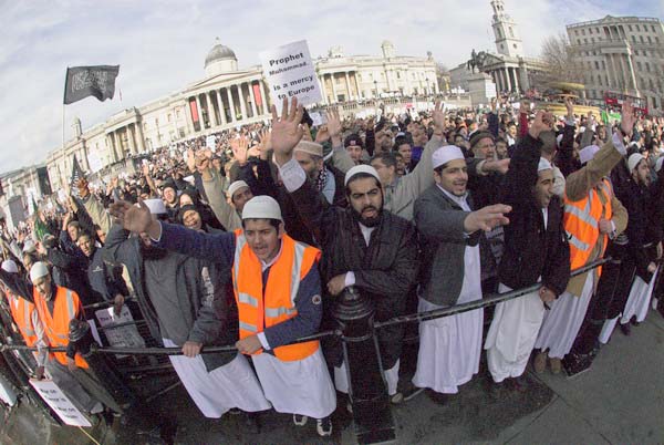
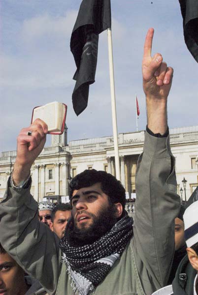
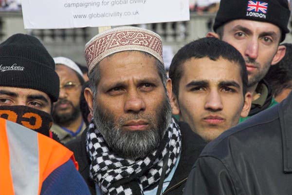
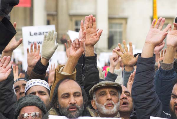
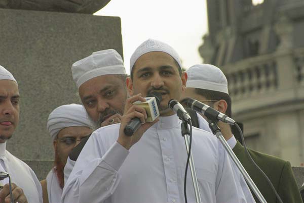
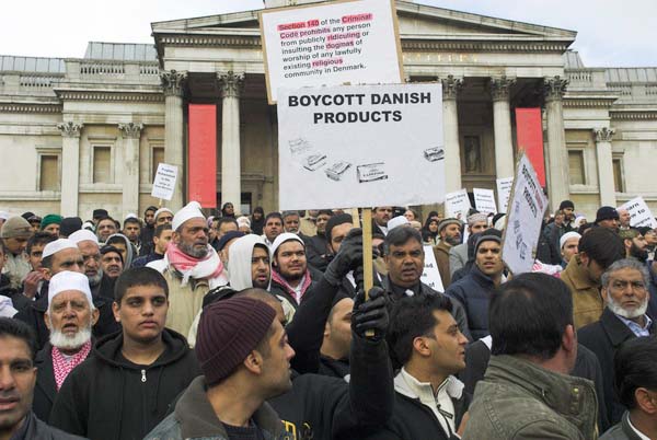
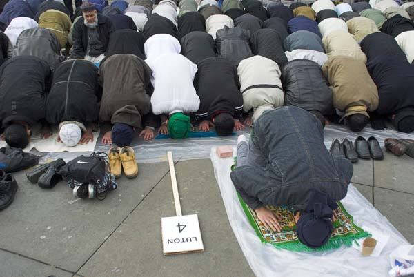
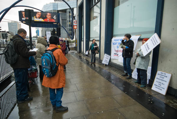
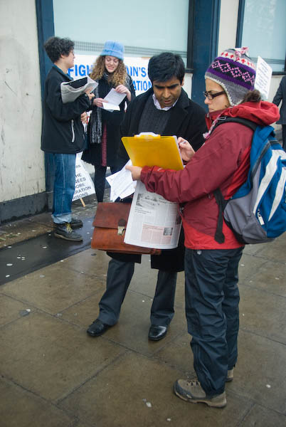
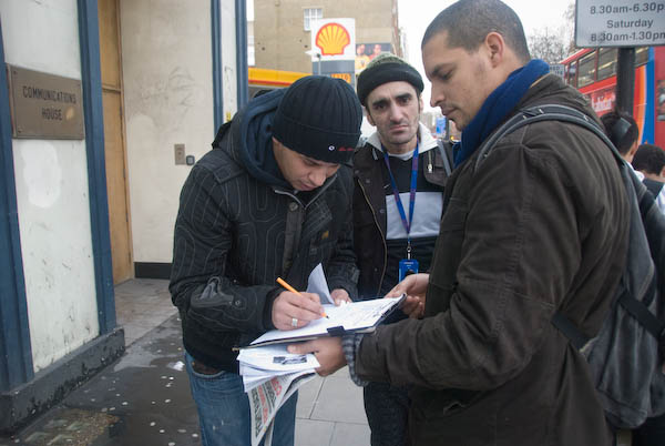
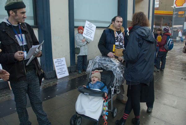
Meanwhile, back in Trafalgar Square, around ten thousand people, mainly British Muslims, had gathered in a rally organised by the Muslim Council of Britain to demonstrate they were united against xenophobia. As well as showing their disapproval of those cartoons depicting Muhammad, they were also determined to disassociate themselves from more extreme Muslim groups.

It was a gathering of decent people, behaving decently, listening to decent speakers speaking decently, carrying only the approved decent placards, overwhelmingly decent. Somehow it hardly seemed a real demonstration.
more pictures
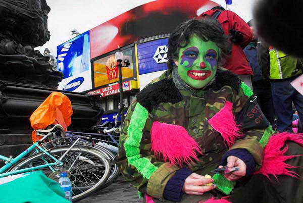
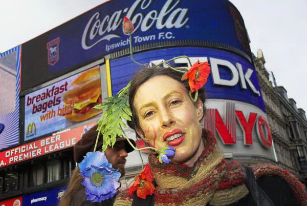
Reclaim Love 3 – Operation Infinite Love, Eros, Picadilly Circus
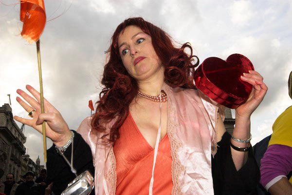
But I had a date with Eros, and wandered along to Piccadilly Circus where St Valentine was being honoured with a gathering by O-I-L, Operation Infinite Love.
“In response to the growth of confusion and fear in the world… we have decided to send love and healing to all the beings in this world, many of whom are suffering today.”

This is the third such annual event, and also carried the point that you didn’t need to buy expensive gifts, giving love was what mattered.

After some highly spirited samba from the Spirits Of Resistance everyone present made a large circle to “send love out from the bottom of our hearts to the whole world and all the beings upon her“.

Then the sound system started up and everyone was dancing.

I stayed at the event taking pictures until the light began to fade and then went home, taking with me one of the hundreds of free t-shirts that were given out by Venus and her friends.
I photographed most of these free annual Valentines street parties over the years until 2019. Although a few people have tried to get them going again since Covid I think few people have turned up to party.
Flickr – Facebook – My London Diary – Hull Photos – Lea Valley – Paris
London’s Industrial Heritage – London Photos
All photographs on this page are copyright © Peter Marshall.
Contact me to buy prints or licence to reproduce.