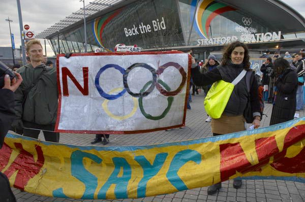
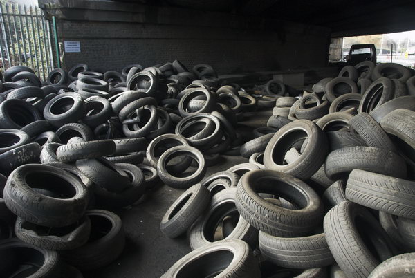
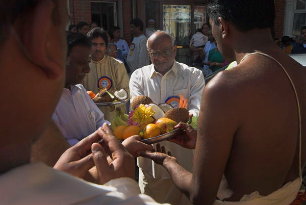
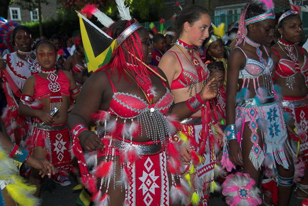
Bow Back Rivers, Plaistow & Upton Park: March 8th is of course International Women’s Day, and most years I’ve found events related to that to photograph, though often the main events take place not on the day itself but on the closest Saturday. In 2007 March 8th was a Thursday and I did something completely different, taking a stroll around the various rivers and channels to the south and west of the Olympic site.
Many of the paths and roads I walked were soon to be closed for various works connected with the Olympics, including the building of a new lock. This was much heralded as being a part of making London 2012 green, with boasts that it would lead to a huge reduction in lorries taking spoil from the site out and bringing materials in to the area by barge. In fact I think it was only ever used for a few photo opportunities and the piece I wrote for My London Diary perhaps suggested the real driver behind its construction.
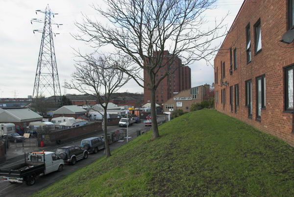
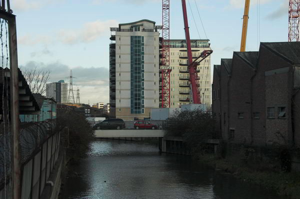
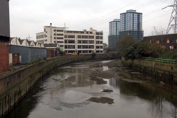
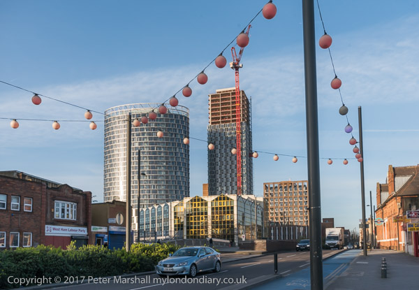
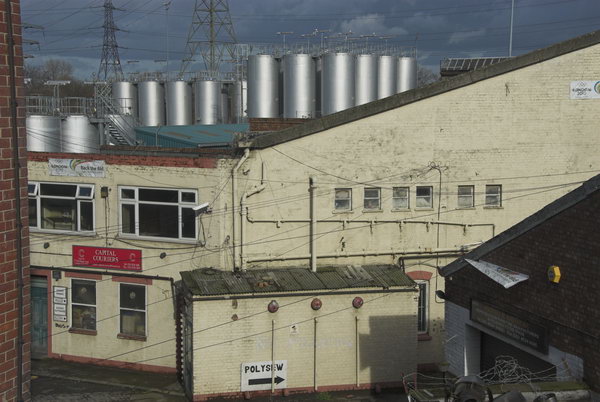
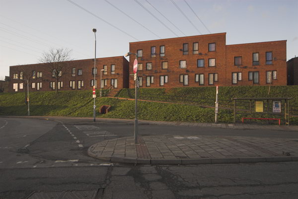
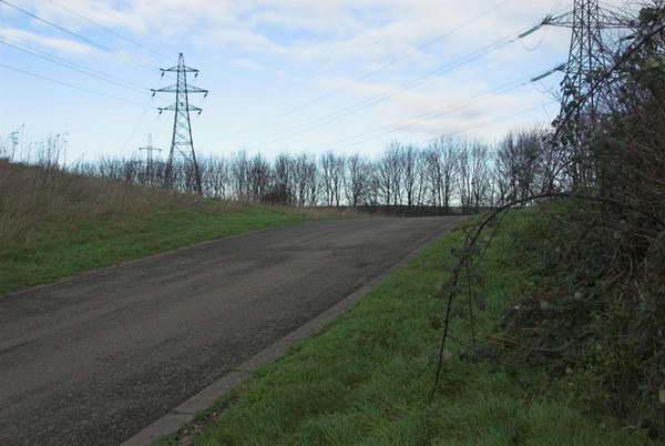
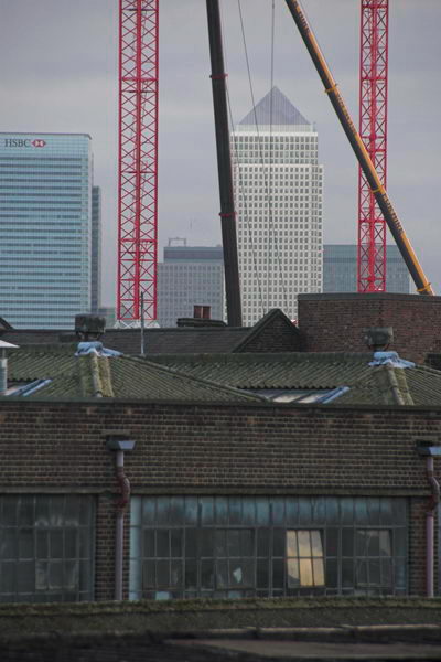
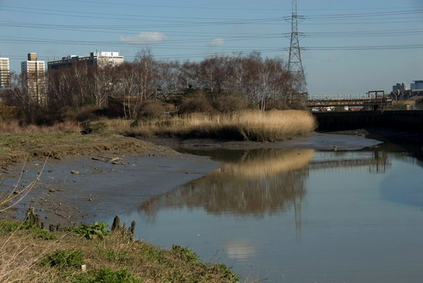
Another unnecessary aspect of the Olympic development was putting the power lines between Hackney and East Ham underground, perhaps also more driven by the desire by developers of the area, now with its many new tall blocks flats more attractive and profitable.
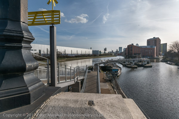
There was also a very half-hearted attempt to use the rivers and navigation as a means of access to the games, with a river-boat service. It was said to be a part of opening up the area as a major leisure attraction, but didn’t ever work and was soon abandoned.
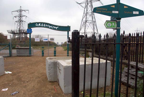
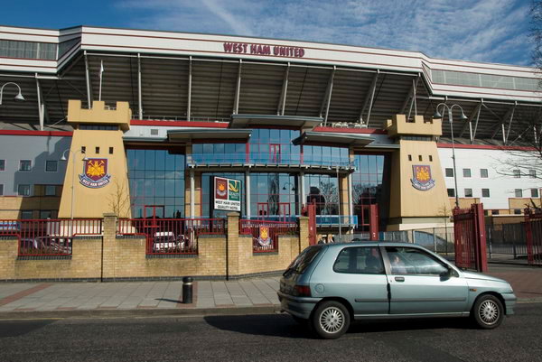
After walking around the area I walked east along the Greenway – the elevated walkway over the Northern Outfall Sewer – to Upton Park, also affected by the Olympics, with West Ham abandoning their Boleyn ground and moving to the Olympic Stadium after the games. Close to their ground is Queen’s Market, which Newham Council had being trying to demolish and redevelop since 2004. It is still currently under threat as it doesn’t fit with their dreams of gentrification but remains as an important community resource.
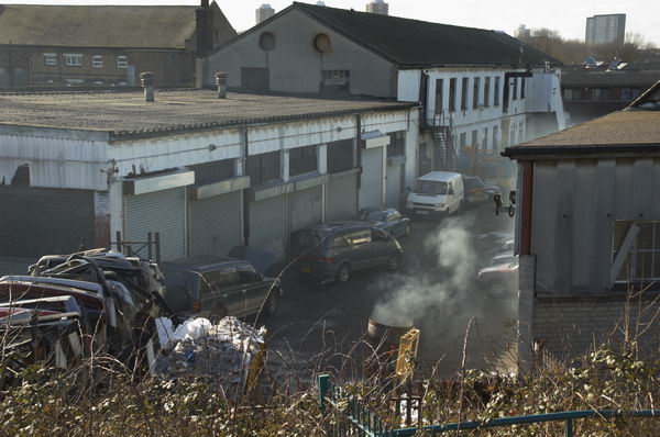
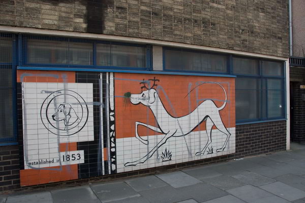
My post on My London Diary contains a lot of background but doesn’t really describe the walk I made – the pictures tell that story, along with their captions. It is rather more fanciful than most of my posts. As usual I’ve tidied it up slightly, changing to normal capitalisation and making a few minor amendments.
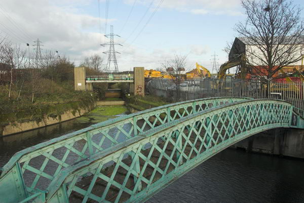
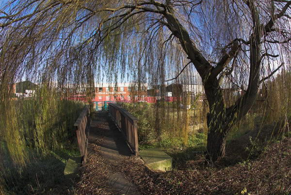
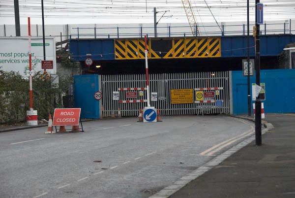
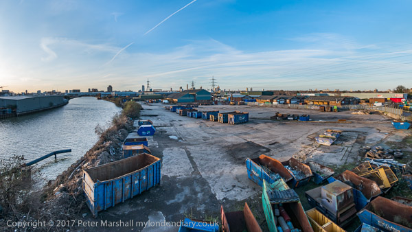
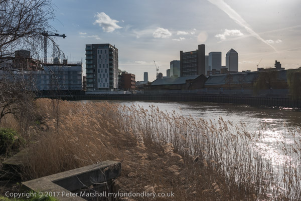
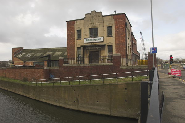
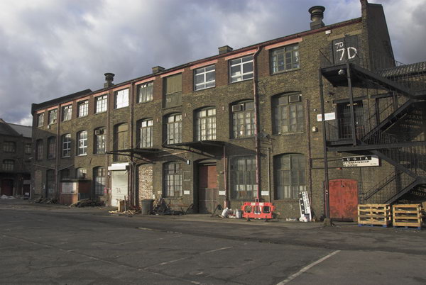
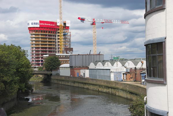
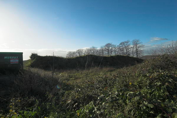
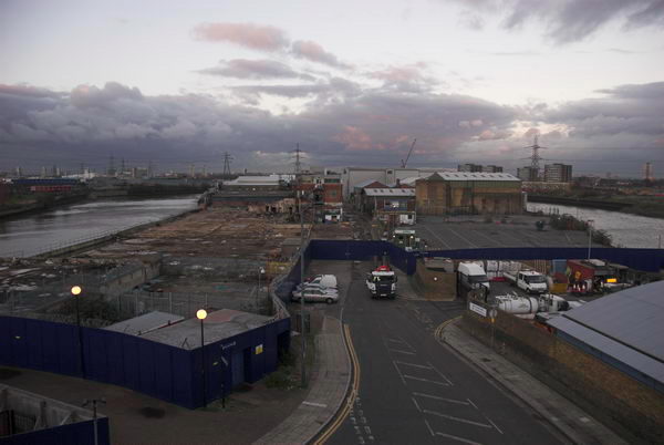
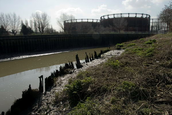
Bow Back Rivers – Prescott Lock Site
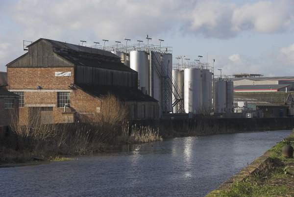
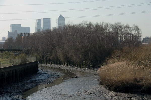
If you are a water molecule starting in the River Lea at Leagrave on the outskirts of Luton, your route to its mouth on the Thames can be rather convoluted – even assuming you don’t get diverted on the way for drinking by Londoners. Below Hertford the river runs in concert with the Lee Navigation, part river, part canal, and examining a map you would soon be confused.
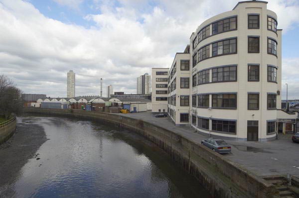
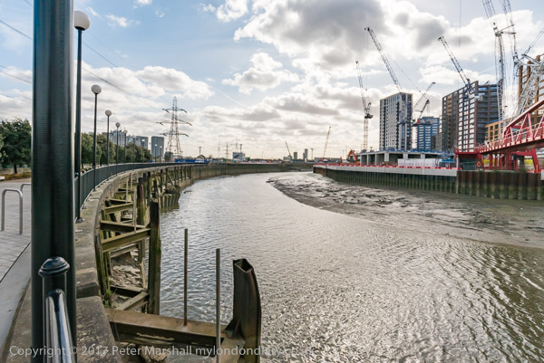
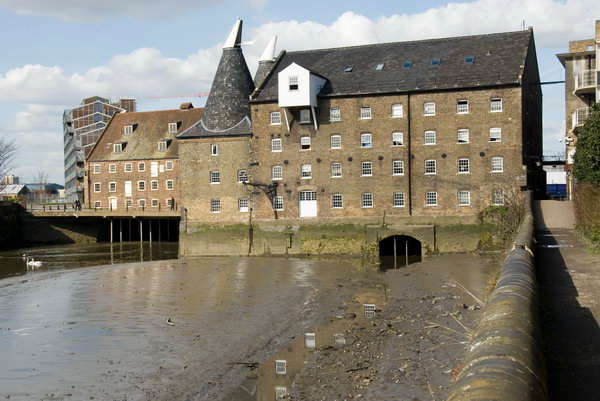
Since work by the Lee Conservancy Board and the West Ham Corporation started in 1931 and officially opened in 1935, the major flow of water in the southern area has been along the Flood Relief Channel (built in the 1970s following the 1947 floods) and the River Lea to Hackney Wick, and then along the Waterworks River, into the Three Mills Wall River and down the newly built Prescott Channel onward to Bow Creek and finally the Thames.
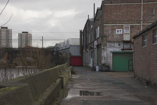
All of these streams have been fully tidal since the Prescott Sluice was removed in the late 1950s (at the same time as most of the Channelsea River was culverted and filled in). Also tidal are the vestigial sections of the Channelsea River and Abbey Creek to the south of Stratford. So in your molecular progress, you might well spend some days being flushed north by tidal inflow from the Thames and then flowing south as the tide falls.
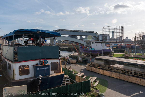
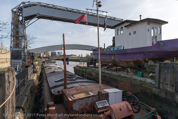
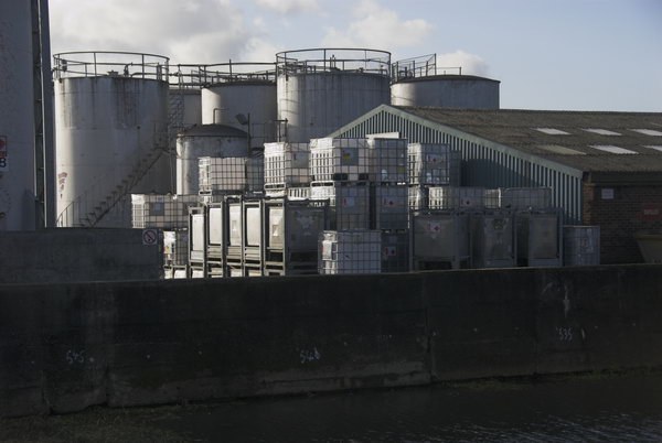
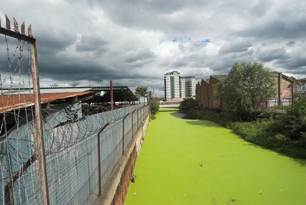
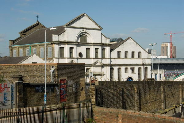
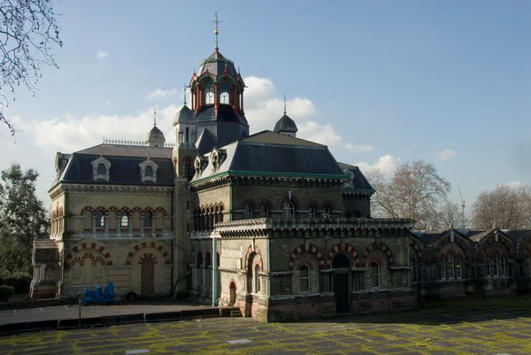
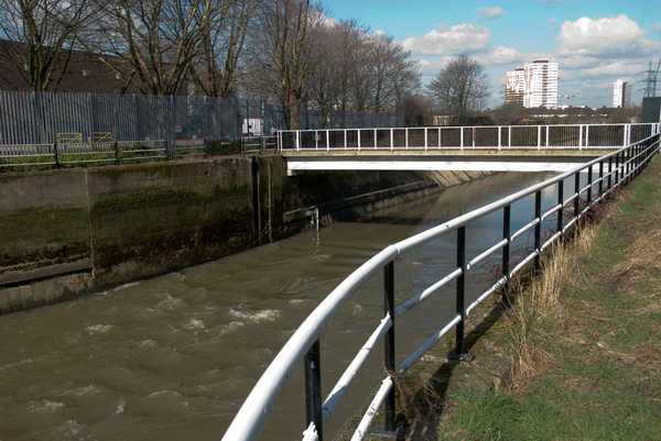
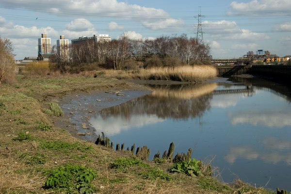
Flushed with you, at least on around 50 stormy days a year, might be some considerable sewage overflow from Abbey Mills sewage pumping station into Abbey Creek, lending its sweet smell to the banks of these streams in the Olympic area. Largely to avoid the delicate athletes (and spectators) being thus nasally assaulted a new lock and sluice is to be built on the Prescott Channel.
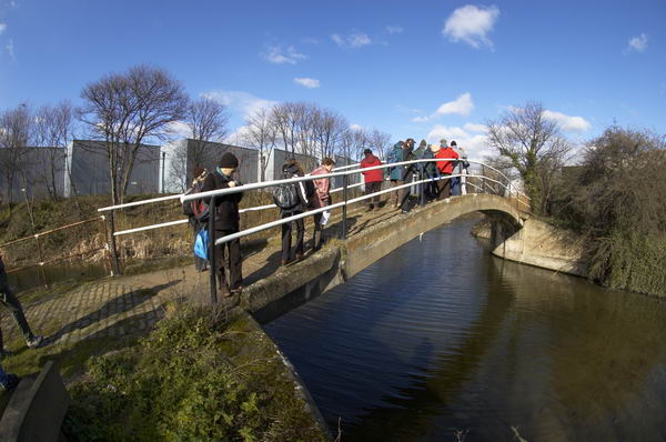
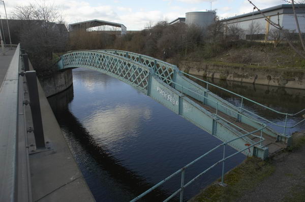
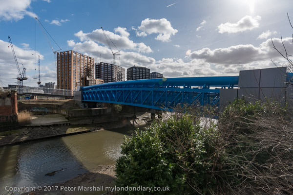
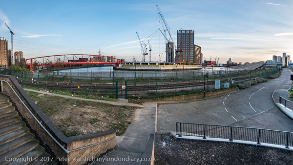
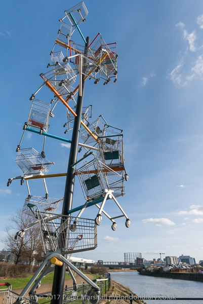
It remains to be seen whether the promises that the back rivers will actually carry the suggested 170,000 lorry loads in and out of the Olympic site will be met [of course it wasn’t], but it would certainly seem to be a useful development for the area longer term, opening up more of these waterways for leisure and possible commercial use. Currently there is a navigable loop on the Bow Back Rivers from the Lea Navigation, using St Thomas’s Creek, City Mill River and the Old River Lea, although this may well be restricted for the Olympics. [It was, for many years.]
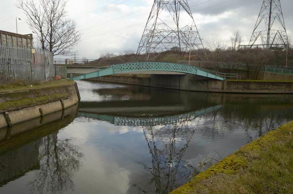
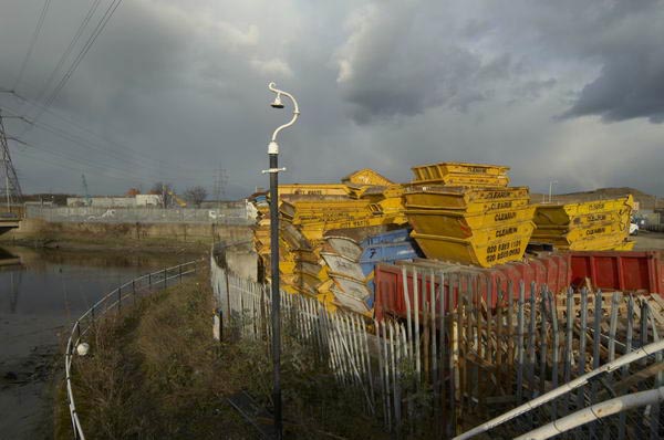
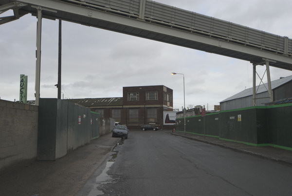
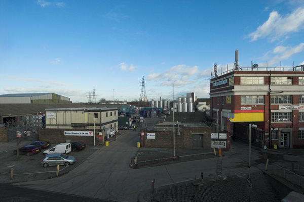
The footpaths crossing the Prescott Channel bridge will be closed mid-March [2007] for around 18 months to allow the lock to be rebuilt, so I thought it a good time to take some pictures before the work begins.
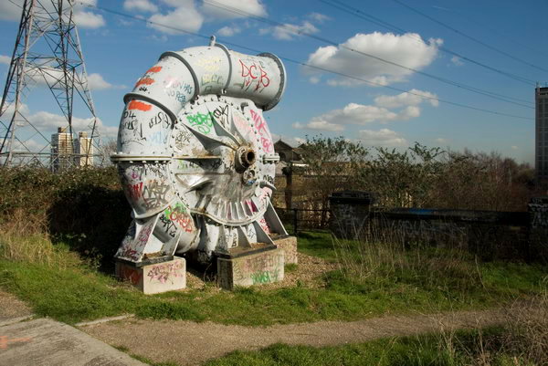
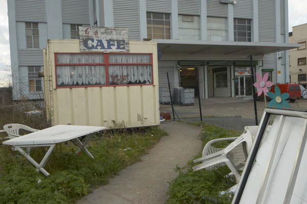
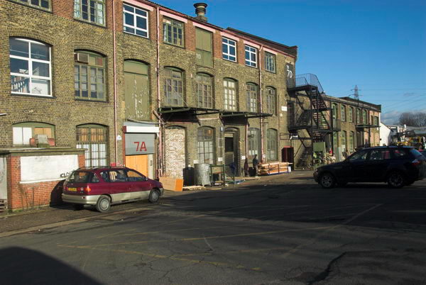
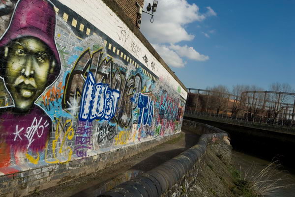
Also in some of the pictures are a number of the sites which have been the subject of compulsory purchase to put the power lines between Hackney and East Ham underground for the Olympics. There are two lines, one going just north of the Greenway and curving down south through the Channelsea River.
More pictures beginning on the March 2007 My London Diary page
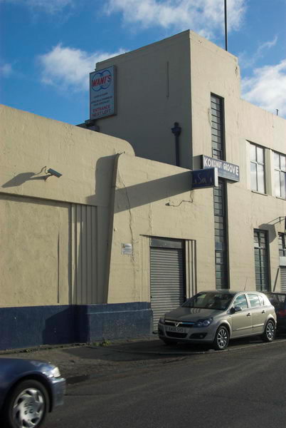
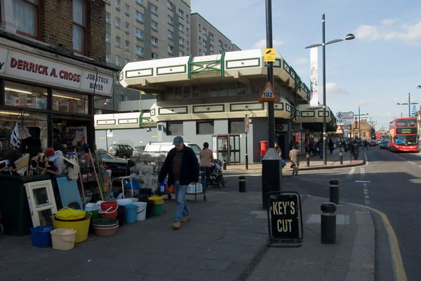
Plaistow and Upton Park
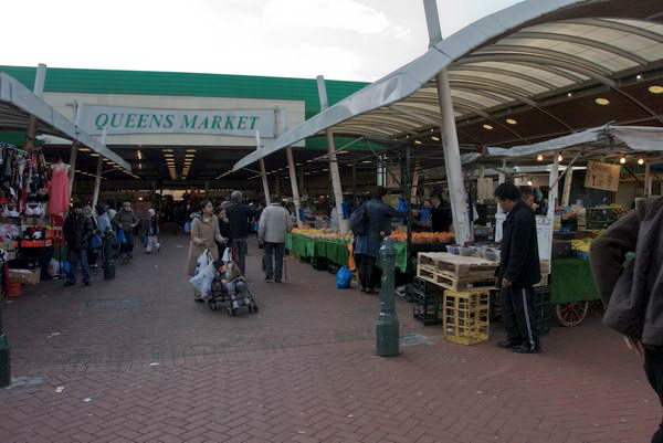
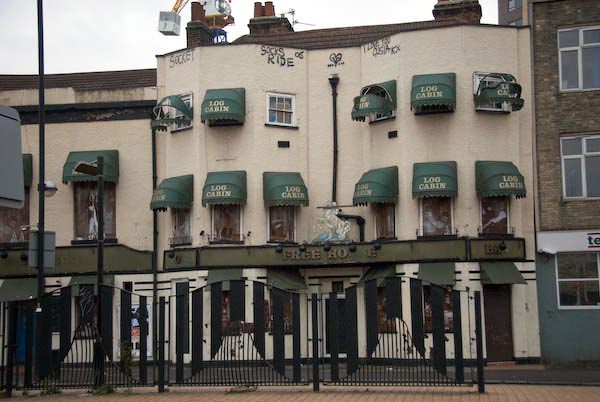
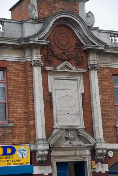
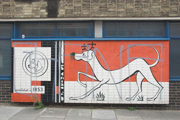
In October 2006 I photographed a march asking Newham Council to keep Queen’s Market in Upton Park. Although it is an exceedingly ugly ensemble, not helped by poor maintainence and an utterly depressing choice of colours, it is still a great local resource. The market is perhaps the most ethically diverse in London, and many rely on it as a great source of cheap fresh foods and other goods. As well as the market stalls there are many small shops around the side of the market.
[There was] then an online petition at the government web site urging the prime minister to “to ensure that strategic street markets such as queen’s market, upton park are given proper protection against the combined threat of negligent local authorities and predatory property developers. as part of this we seek an open and transparent consultation process.”
We go down to our local market a couple of times most weeks. The fruit and veg is much cheaper than in the supermarket, and it is fresh and not wrapped in 7 layers of plastic. We’d hate to see it go, and can see why the people who shop at don’t want their market replaced with yet another supermarket, and less small shops and stalls.
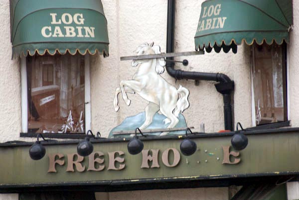
But Queen’s Market could do with doing up, perhaps replacing the roof, new stalls, a rethinking of some of the central space in the development which is a kind of wasteland where guys sit with cans to make it a more pleasant and family-friendly space. It could be a real centre for Upton Park, perhaps with more shops, cafés with outdoor seating and some kind of performance area and perhaps a playground. I’d get rid of the pub too, or at least give it a complete makeover.
March 2007 My London Diary page
Flickr – Facebook – My London Diary – Hull Photos – Lea Valley – Paris
London’s Industrial Heritage – London Photos
All photographs on this page are copyright © Peter Marshall.
Contact me to buy prints or licence to reproduce.