Canning Town, Cody Dock and Stratford: On Thursday 2nd March 2017 I made a rather convoluted walk along Bow Creek and the Lea Navigation, arranged around a meeting I had at Cody Dock. You couldn’t then – and can’t quite yet walk beside the river the whole way, but to get to the meeting I had to abandon a small part of the first stretch and catch the DLR, walking on from the meeting to Stratford High Street where I caught the DLR again to go back and complete the short part I’d had to miss out earlier.
Bow Creek & Canning Town
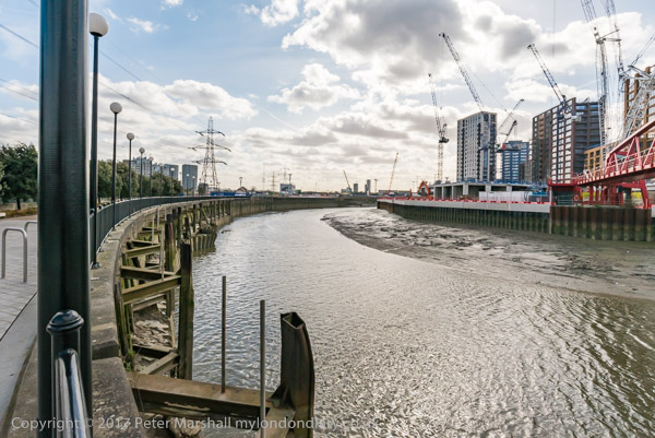
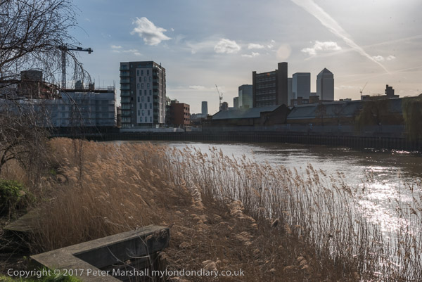
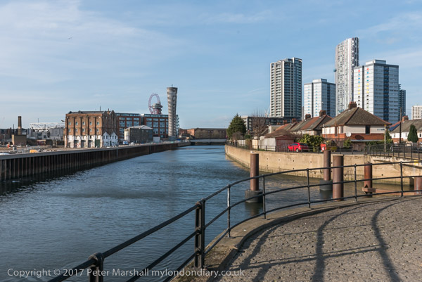
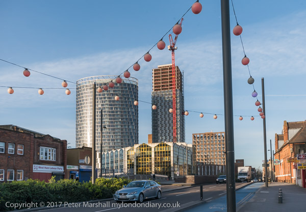
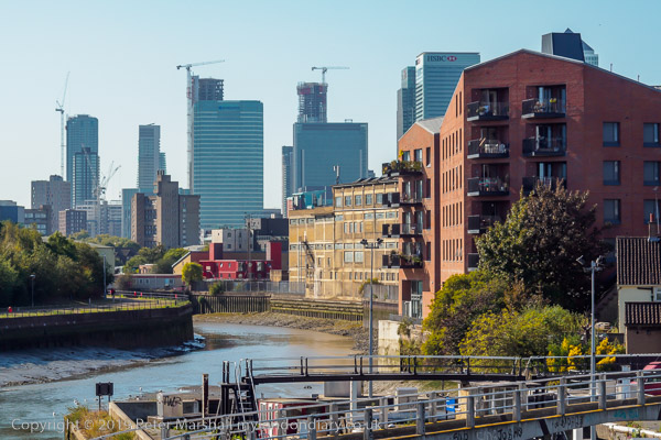
In this section of My London Diary I included pictures taken both at the start and at the end of my walk, which began at Canning Town Station.

The riverside walkway at Canning Town is open after many years and can take you to the bridge to London City Island.
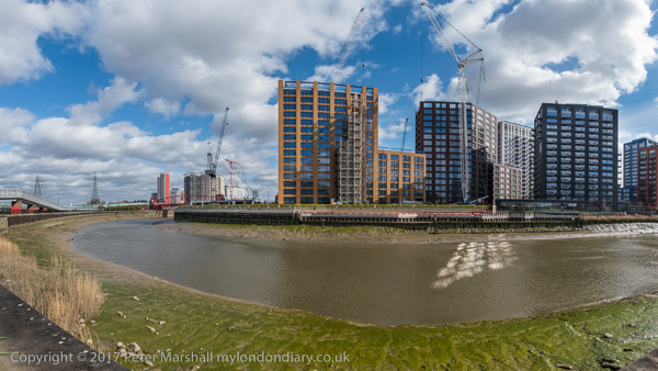
People were living in some of the blocks on the “Island” but there was still a lot of work continuing in this area which Bow Creek loops around on three sides. Another bridge was built across the DLR tracks to allow people from South Bromley in Tower Hamlets a pedestrian route to the riverside path and Canning Town station. Open for a short time it closed well before the station entrance became open, and a gate on it was firmly locked when I tried to cross it.
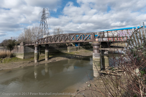
This meant I had to make a lengthy detour walking around the Ecology park to get to the Blue Bridge which took me to the East India Dock Road.
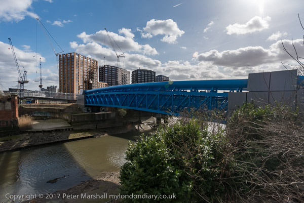
This meant I had to hurry back to Canning Town Station to get the DLR to Star Lane for my meeting at Cody Dock and couldn’t then walk along the north side of the road to take more pictures.
Cody Dock
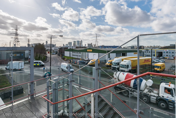
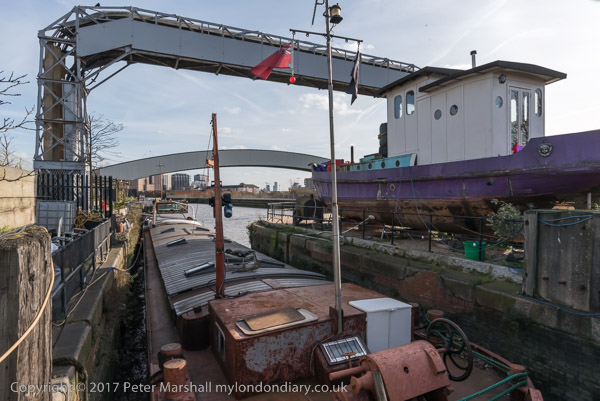
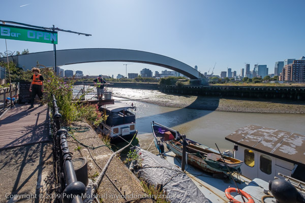
I made a few pictures on my walk from Star Lane to Cody Dock, and then rather more after my meeting, at first in the dock itself,
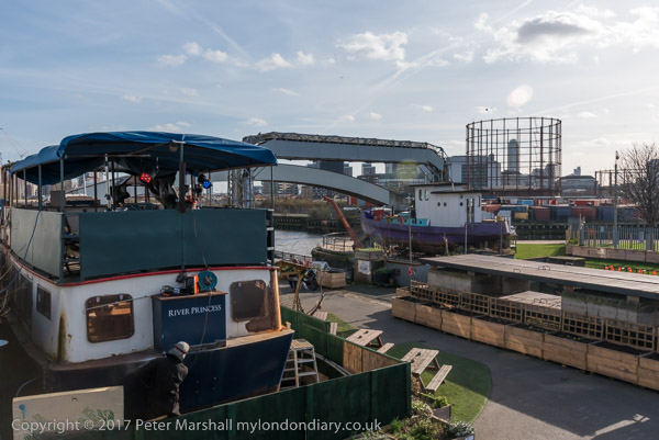
and then on the riverside path, thankfully renamed from ‘Fatwalk’ to ‘Leawalk’ and a part of ‘The Line’ sculpture trail.
Leawalk to Bow Locks
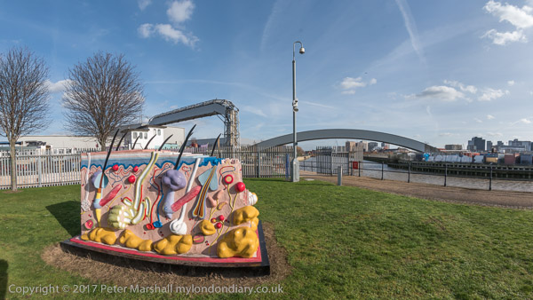
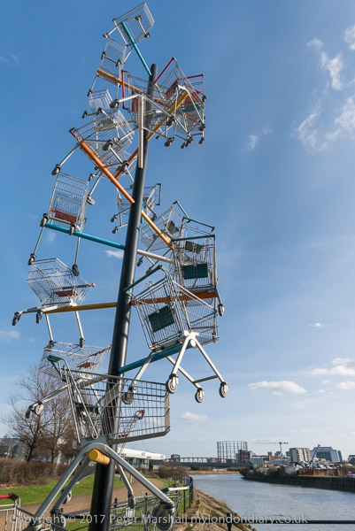
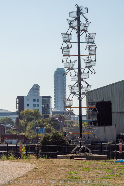
I paused briefly to photograph a sculpture made from shopping trolleys in a mock DNA double helix.
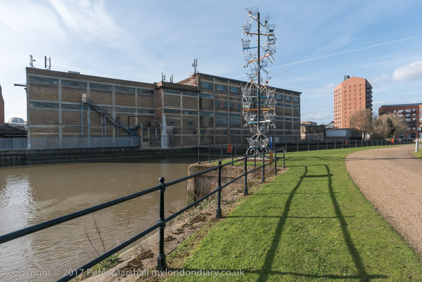
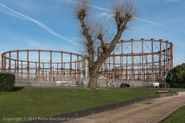
My next stop was to photograph the The Imperial Gas Light and Coke Co’s 1872-8 Bromley-by-Bow gasholders and the war memorials – originally at Beckton – with an eternal flame next to a monument to company workers killed in both World Wars.
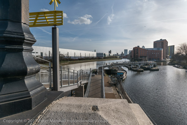
Steps leading down from Twelvetrees Bridge at Bow Locks took me down to the towpath beside the Lea Navigation.
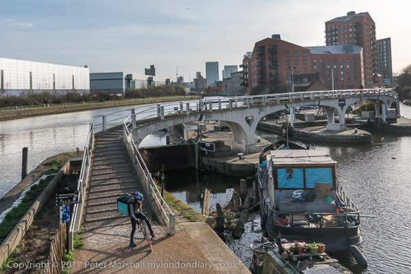
Three Mills & Stratford

Three Mills is a tide mill dating from 1776 (though on the site of earlier tide mills mentioned in the Domesday Book) on the Three Mills Wall River. It is the largest tide mill in the UK and the largest surviving in Europe.

Another sculpture on The Line, unveiled on the centenary on Three Mills Green and moved to this position on Short Wall is by Alec Peever and commemorates three men who died in 1901 They died going to the aid of a fourth who had been overcome by the lack of oxygen at the bottom of a well they were investigating.
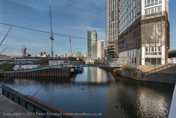
I walked on to Stratford High Street, turning west to go to Bow Bridge and the Lea Navigation before going back beside St Thomas’s Creek and along Stratford High Street to the DLR Stratford High Street Station for the train to Canning Town.
More from Bow Creek
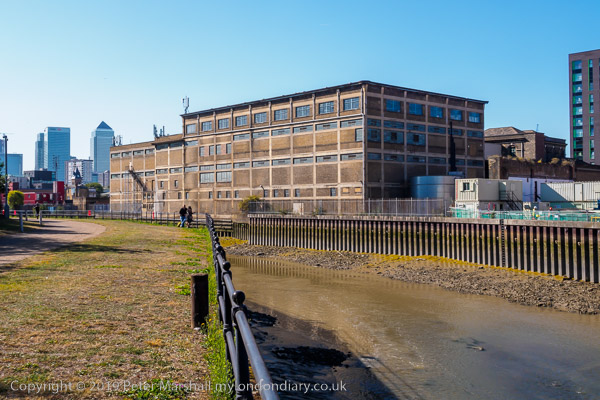
It was beginning to get a little dark as I came out from the station to photograph from the north side of East India Dock Rd.
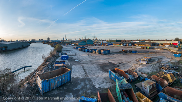
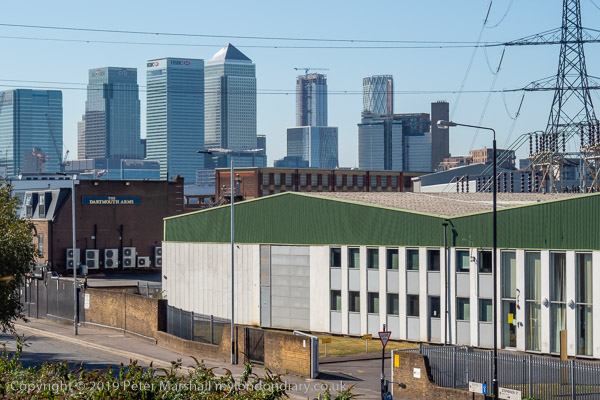
This was still an industrial area although a large area seemed now to be unused. I thought it would probably not be long before this area too was covered in flats as I walked back to the station.
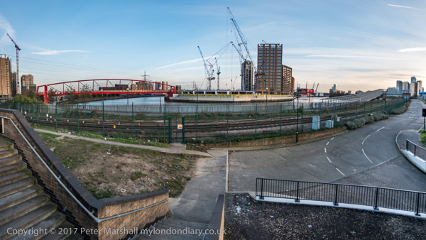
You can see many more pictures and read more about the walk in my four posts on My London Diary:
Three Mills & Stratford
Leawalk to Bow Locks
Cody Dock
Bow Creek Canning Town
Flickr – Facebook – My London Diary – Hull Photos – Lea Valley – Paris
London’s Industrial Heritage – London Photos
All photographs on this page are copyright © Peter Marshall.
Contact me to buy prints or licence to reproduce.
