Waiters Day, Monsanto, White Pride & The Line: Saturday 23rd May 2015 was a busy day, beginning with Unite Hotel Worker, moving on to the global March Against Monsanto, then an extreme right White Pride protest and finally going to the opening of the world-class sculpture walk roughly along the Greenwich Meridian, The Line.
Waiters Day call for fair contracts and union rights
Grosvenor House Hotel, Park Lane
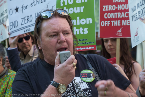
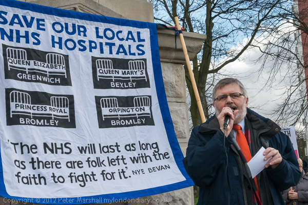
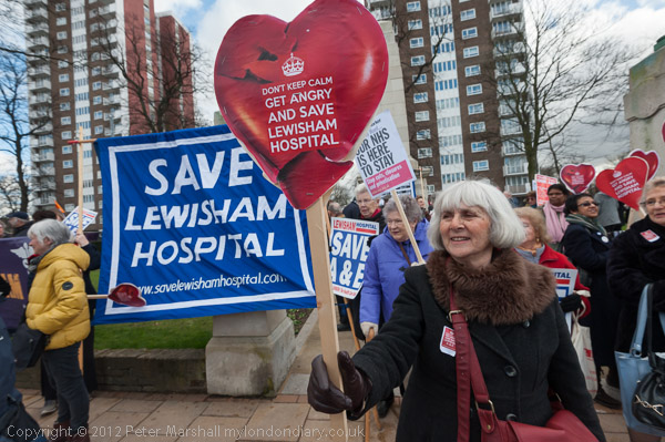
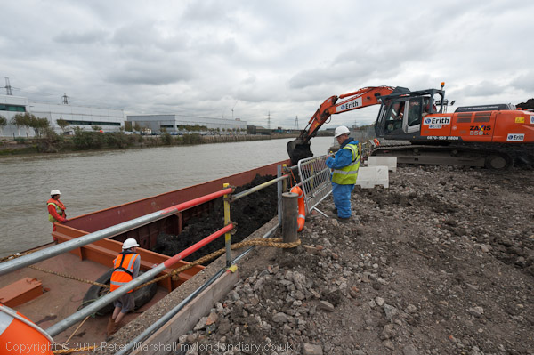
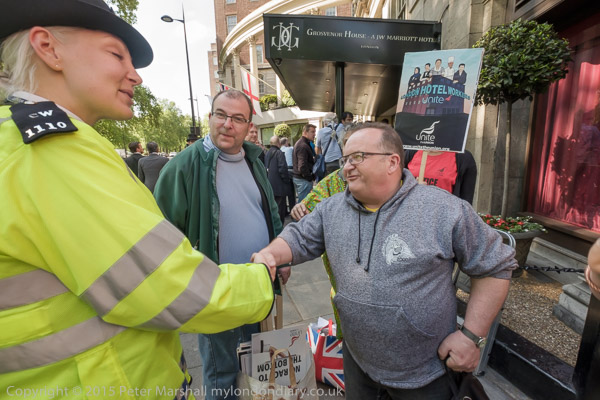
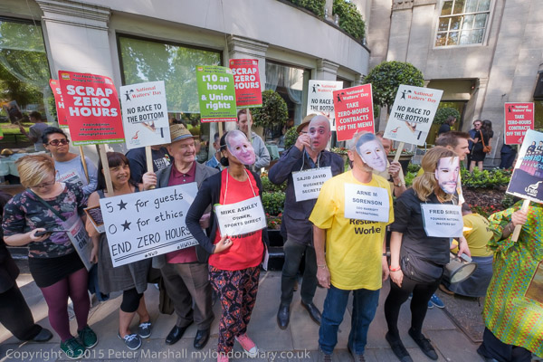
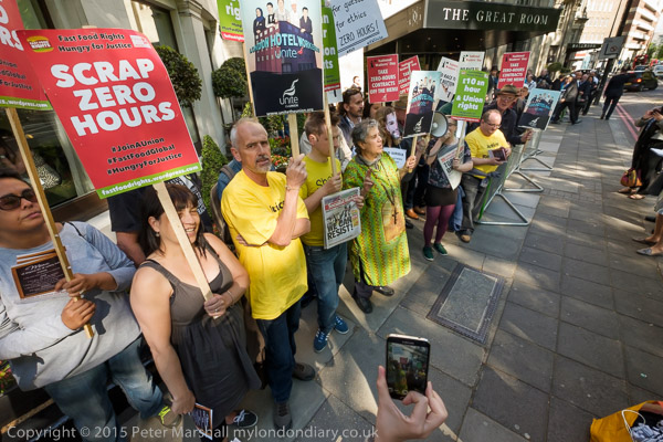
The Hotel Workers branch of Unite protested outside the Grosvenor House Hotel in Park Lane, the birthplace of Zero Hours Contracts, on National Waiters Day, calling for an end to poor conditions, poverty wages, zero hours contracts and management stealing of tips.
Some of the protesters wore masks and placards with names of leading company bosses using zero hours contracts and exploiting workers and took part in a short ‘waiters race’ along the pavement in front of the hotel. The race was of course fixed
Back in 1979 waiters at the Grosvenor House Hotel in Park Lane were sacked when they tried to organise a trade union branch there. The case eventually went to court where it was decided their sacking was legal. It was this case, O’Kelly v Trusthouse Forte plc, that opened to door to Zero Hours Contracts in the UK. Previously employment law had been based on “mutuality of obligation” with employers obliged to offer hours of work, and employees to work those hours.
Until 2012 less than 1% of employees were on zero hours contracts, but their use then rocketed, and by 2015 had increased to 2.5%. By 2021, roughly half of the organisations in hospitality and entertainment were using them.
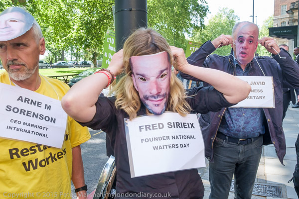
National Waiters Day seems to have been invented in the USA in the early years of this century and is generally observed on May 21st. A UK Waiters Day was begun by restaurant manager Fred Sirieix in 2013 and is on October 20th.
Waiters Day – fair contracts and union rights
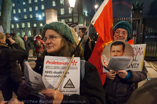
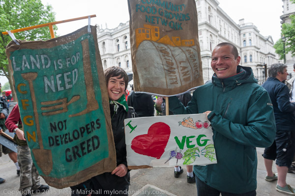
March Against Monsanto
Downing St
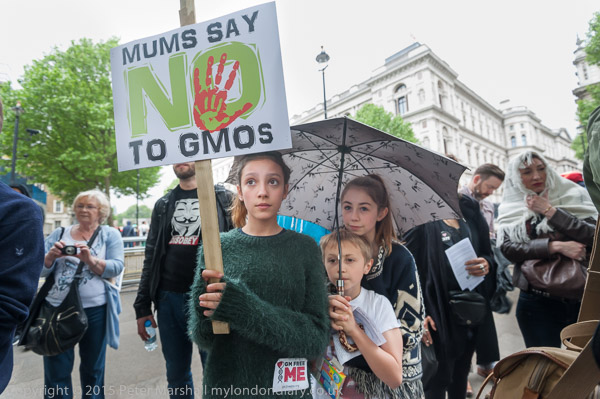
In London the annual Global March Against Monsanto by over 3.5 million people across 600 cities was marked by a small static protest opposite Downing St.
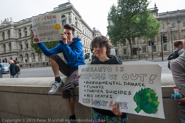
Monsanto and other companies which profit from GMOs claim they are playing an important part in feeding the world, but are actually attempting to monopolise food production for their own profit, patenting existing species, trying to prevent farmers from saving and using their own seed, encouraging the use of highly toxic chemicals and practices that degrade the soil.
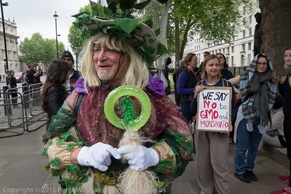
As the protesters say, we need to plant our own seed, to grow local and to eat sustainable food, and to do so in our own ways in countries across the world.
White pride protest for David Lane
US Embassy

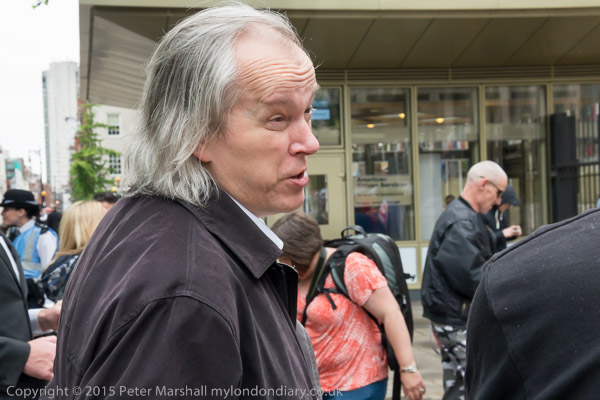
A group of around 30 ultra-right neo-Nazi protesters at the US Embassy remembered David Eden Lane, a convicted criminal and author of the ‘14 words’ statement used by extreme right groups about securing a future for white children. A small group of anti-fascists had come to oppose them.
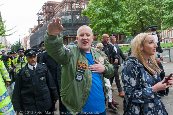
Lane was a co-foounder of ‘The Order‘ a rabidly antisemitic group which bombed theatres and synagogues and he was convicted as the getaway driver after they murdered liberal Jewish Denver radio talk show host Alan Berg in 1984 when he was the second on their long death list. The group also carried out violent robberies to finance their activities. He died in prison in 2007.
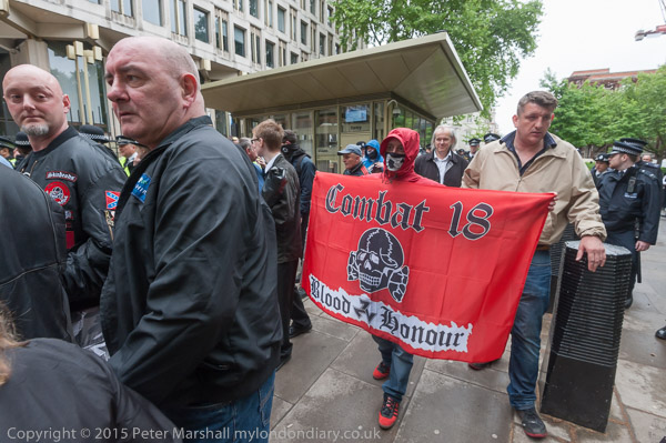
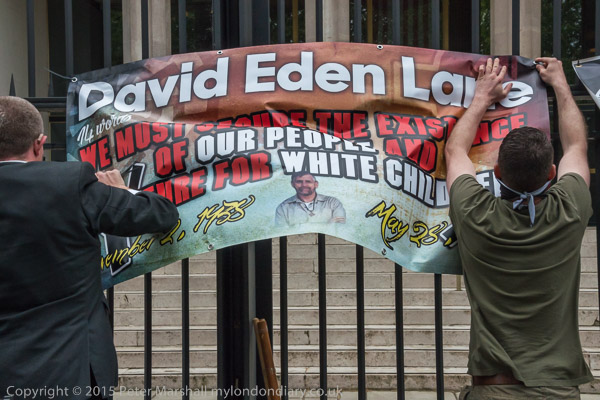
His 14 words, a close quotation from Mein Kampf, is often referred to in extreme right circles as ’14/88′, where 88 stands for the repeated 8th letter of the alphabet, HH, shorthand for ‘Heil Hitler’.
Inside jail, Lane, a former Ku Klux Klan and the ‘White Christian Separatist’ group ‘Aryan Nation’ member, was one of the founders of a new pagan religion, ‘Wotanism‘, named after the Germanic god Odin, also know as Wotan, which serves as an acronym for ‘Will Of The Aryan Nation’.
White pride protest for David Lane
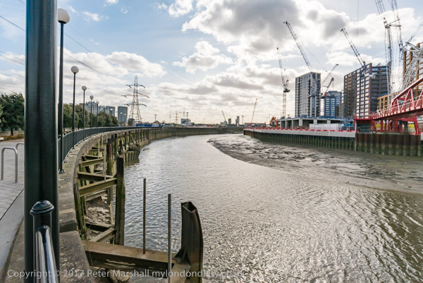
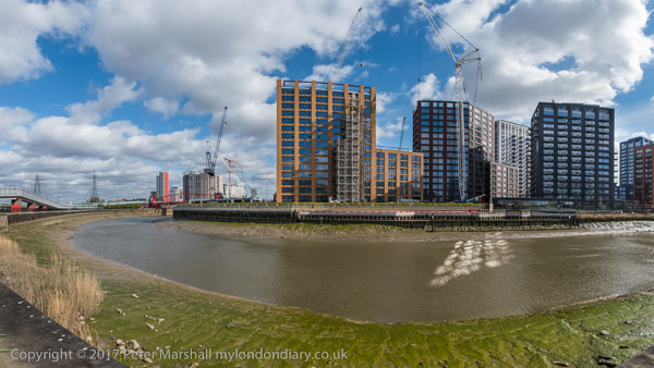
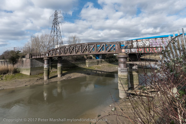
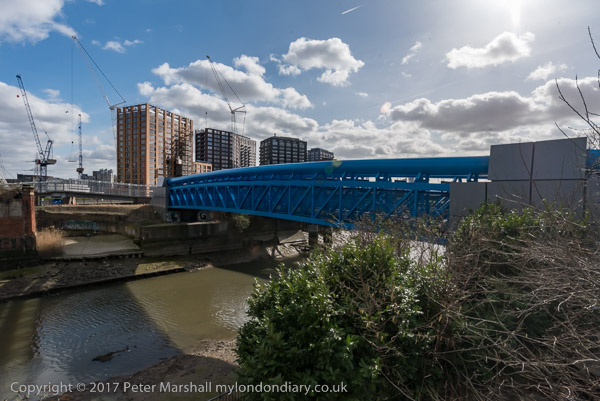
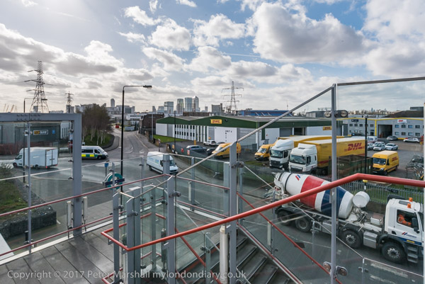
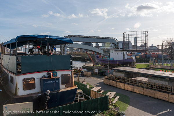
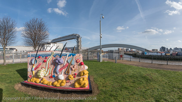
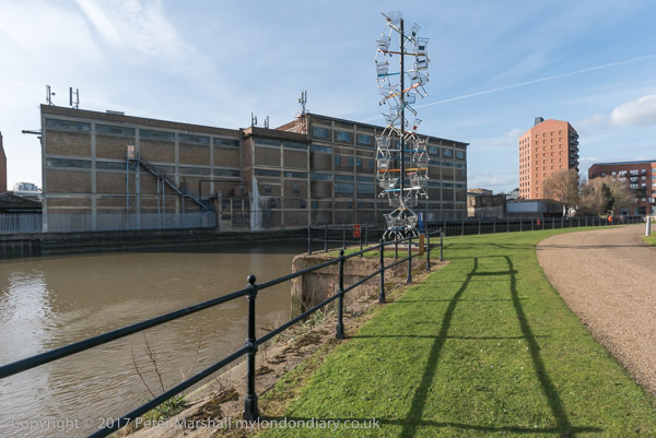
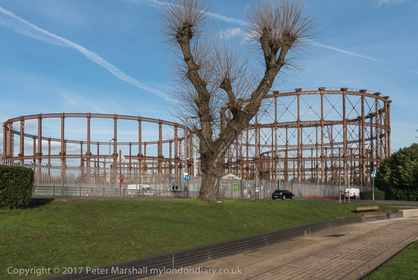
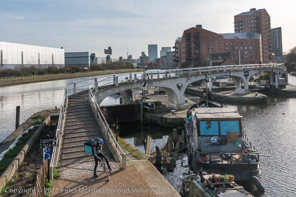
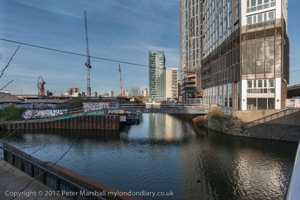
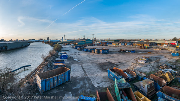
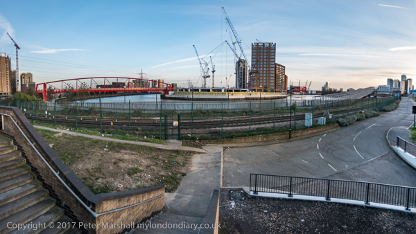
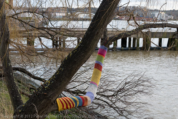
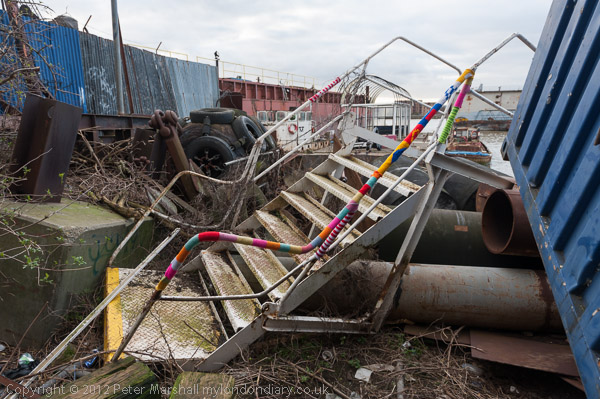
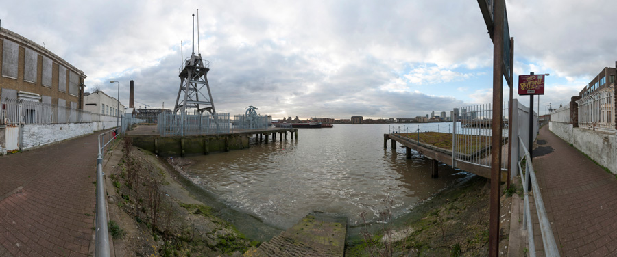
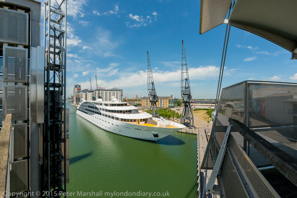
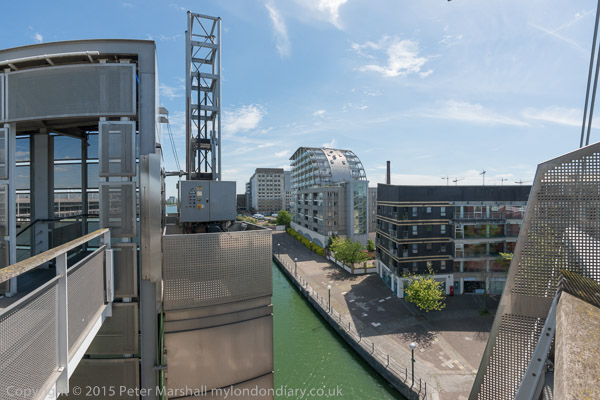
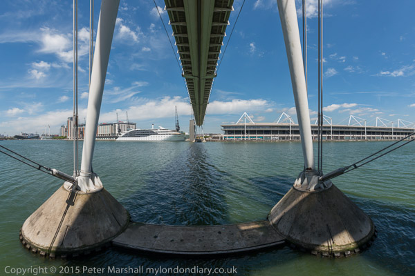
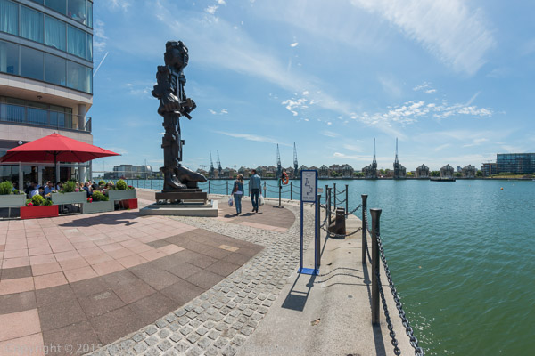
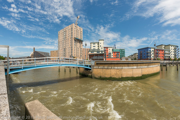
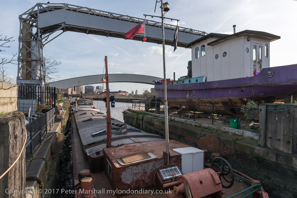
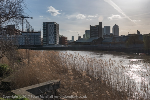
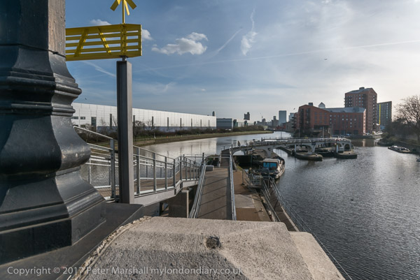
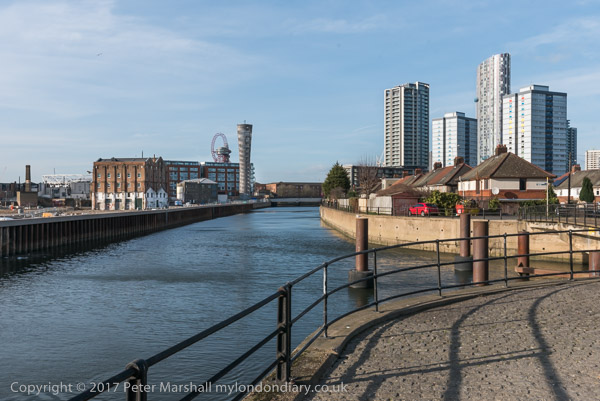
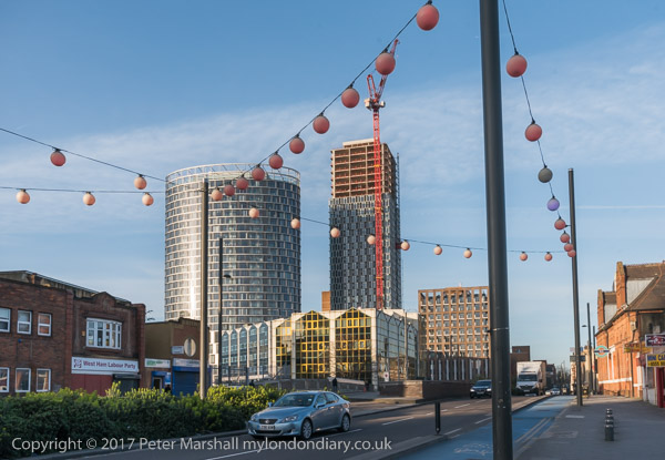
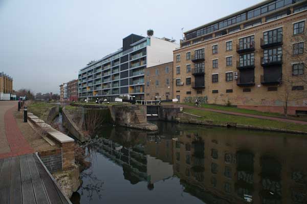
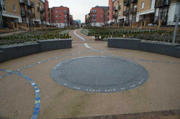
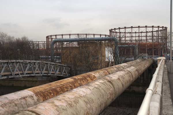
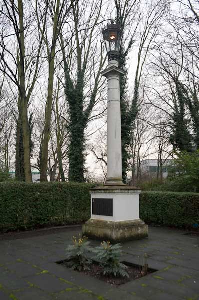
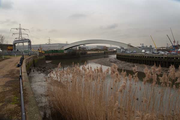
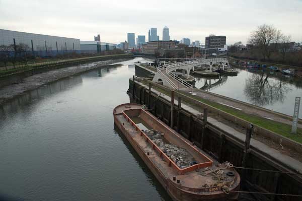
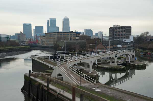
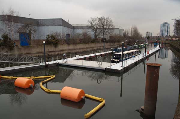
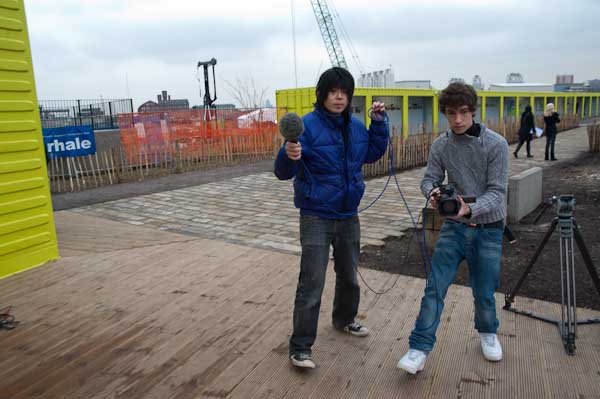
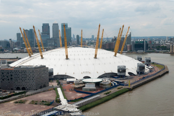
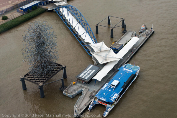
Cody Dock Opening for ‘The Line’
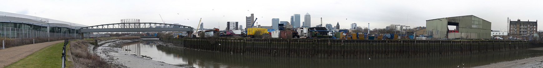
Bow Creek, West Ham
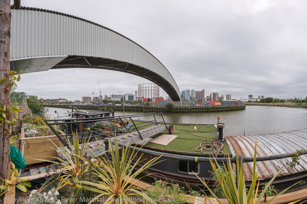
It was good to get away to something much more pleasant, the official opening of the world-class sculpture walk, ‘The Line‘ with works by distinguished sculptors going north from Greenwich across the Thames and on to the Olympic Park.
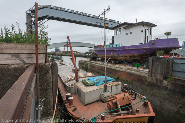
I’d visited the festivities at Cody Dock in the morning when few people were around to photograph the site and walk a short stretch of the trail.
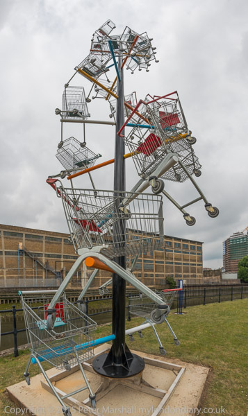
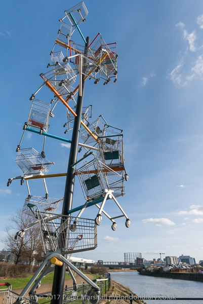
One piece I found particularly interesting was DNA SL90 (2003) made by Abigail Fallis from 22 shopping trolleys for a supermarket chain to mark the 50th anniversary of Crick & Watson’s discovery of the double-helix structure of DNA. It’s location on the edge of Bow Creek next to a major distribution centre, seemed particularly appropriate, and it is an impressive piece.
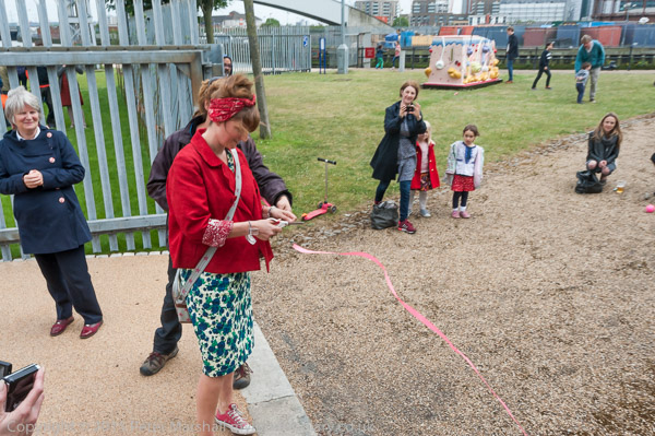
I returned from central London just in time for the opening ceremony when a fair sized crowd had gathered.
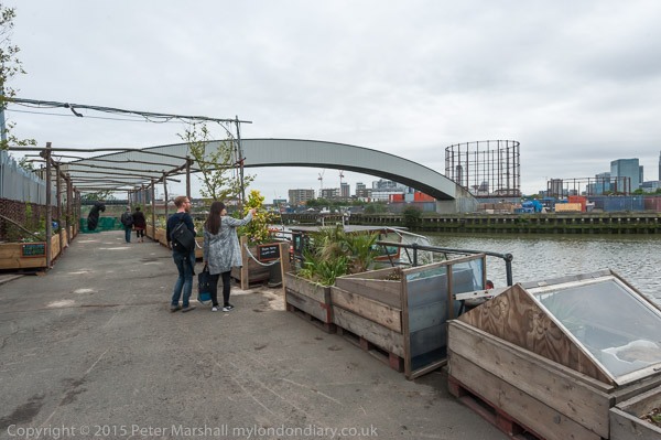
Since 2015 new stairs down from the bridge at have removed the awkward detour alongside the busy Blackwall Tunnel Approach, but I think we are still waiting for the opening of the riverside path along Bow Creek south of Cody Dock.
Cody Dock Opening for ‘The Line’
Flickr – Facebook – My London Diary – Hull Photos – Lea Valley – Paris
London’s Industrial Heritage – London Photos
All photographs on this page are copyright © Peter Marshall.
Contact me to buy prints or licence to reproduce.