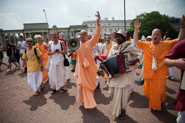
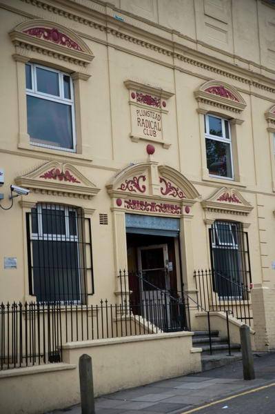
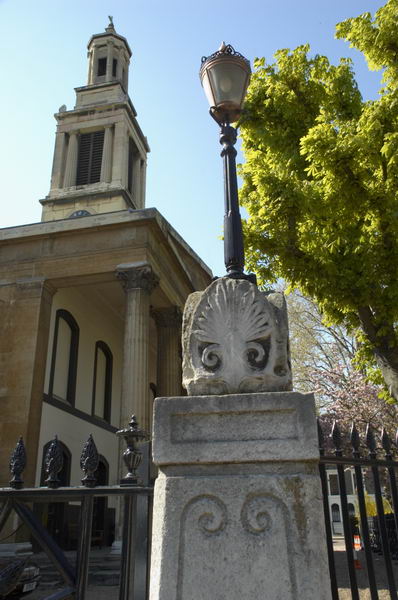
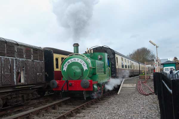
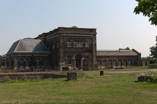
Charlton to Belvedere
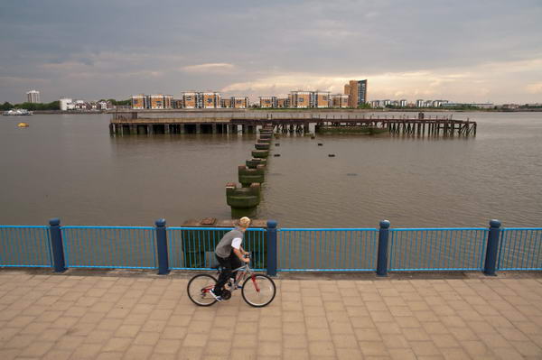
Charlton to Belvedere: On Monday 25 April 2011 I went with my wife and elder son on a walk from Charlton Station to Belvedere. They walked but I rode on my folding Brompton bike as I was still suffering from plantar fasciitis and walking any distance became too painful.
As a cyclist any pressure is on the ball of the foot, with no weight at all on the heel and arch where the pain can be intense. Gel insoles help a little for walking and I was still managing to photograph events, but longer – and faster – walks were still completely out of the question for me.
I’d been to see my doctor who was sympathetic and told me that physiotherapy might help, but given the waiting list for appointments the pain would probably have gone away before I got one. But there were exercises that could help – and after I had spent a few months rolling a baked bean tin back and forth under my heal while having breakfast the pain did eventually go away.
The bike was a great idea. Linda and Sam were fast walkers and intent on getting to our destination, while as a photographer I kept stopping and sometimes wandering a little to one side to get into the right position to take pictures. Then I would see them a couple of hundred yards ahead and would need to run to catch up. So much easier on the bike.
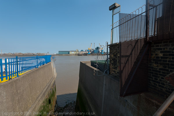
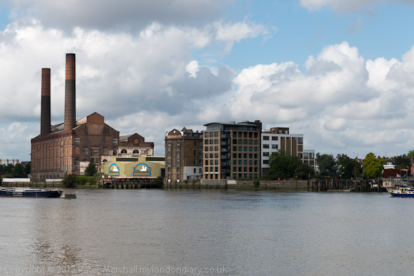
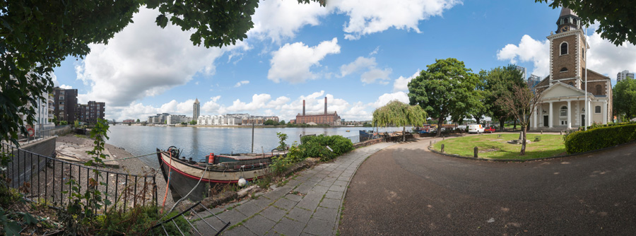
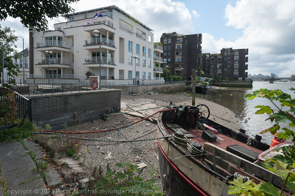
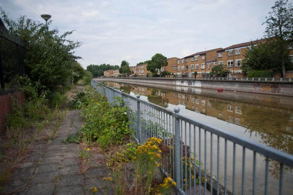
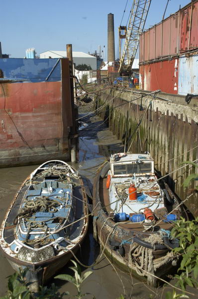
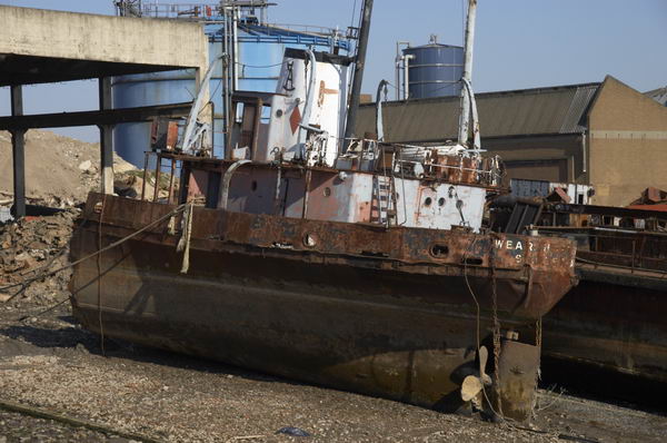
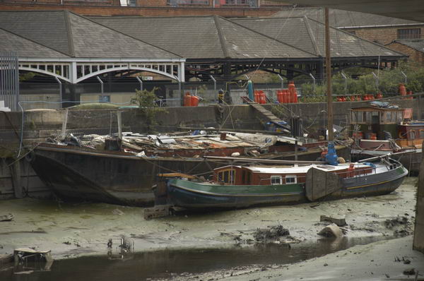
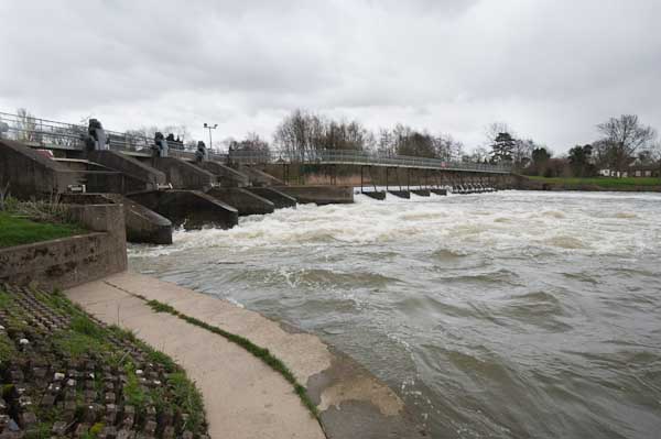
I took advantage of my bike to make some longer than normal diversions, at one stage cycling down a road to reach the river where there was no riverside path but riverside steps. I had a scary moment here, walking out on a ledge to get a better view I lost my balance and began to shake uncontrollably in front of a 10 foot drop onto the concrete steps and rubble of the foreshore. Fortunately I managed instead to grab hold of a rail behind me and after holding it for a few seconds steady myself enough to edge back to safety. I was only too aware of a history of photographers falling to their deaths while ‘getting a better view’.
Eventually I stopped shaking and was able to get back on my bike and hurry after the others. And no, I didn’t tell them what had happened and they still won’t know about it unless they read this.
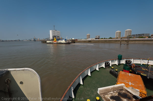
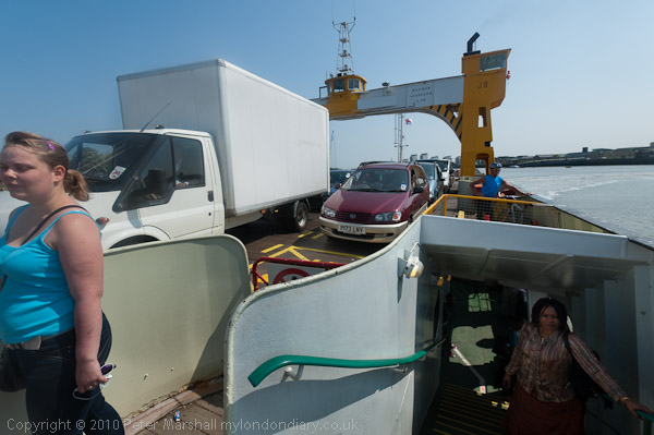
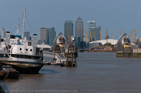
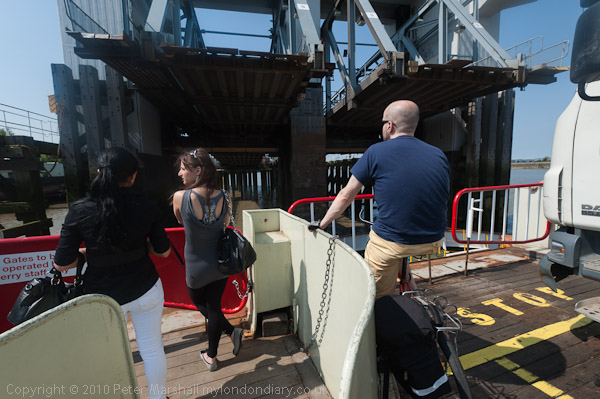
At Woolwich we took a ride across on the Free Ferry. Folding the Brompton I could walk past the ‘No Bicycles’ sign and go below deck with the others. I’d hoped we could return by the tunnel, but it was closed so we had a short walk in North Woolwich and a second ferry ride.
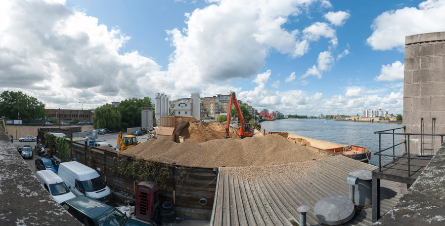
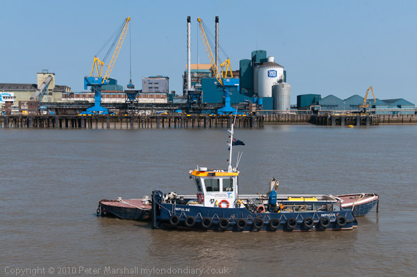
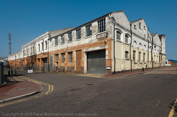
When the Thames Path was declared a National Trail and then opened in 1996 it ended at the Thames Barrier. Our walk in 2011 began at Charlton station so only the first short section was on that and beyond we were walking the Thames Path Extension. I had previously walked all of this route, and further on as far as Cliffe. If you have the stamina you can now continue all the way to the Isle of Grain though a bike would really be a good idea. Perhaps one day I’ll do it.


On this ‘walk’ I gave up here and cycled to Belvedere station to get home for a meeting in the evening, while the two walkers continued to the Darent and then walked back to Slade Green station.
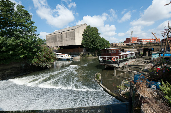
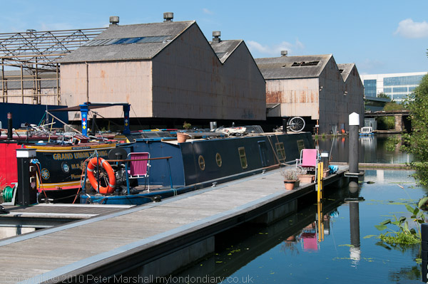
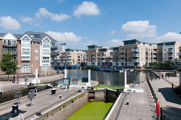
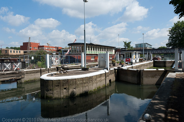
Many more pictures on My London Diary from the walk and the ferry at More Thames Path.
Flickr – Facebook – My London Diary – Hull Photos – Lea Valley – Paris
London’s Industrial Heritage – London Photos
All photographs on this page are copyright © Peter Marshall.
Contact me to buy prints or licence to reproduce.