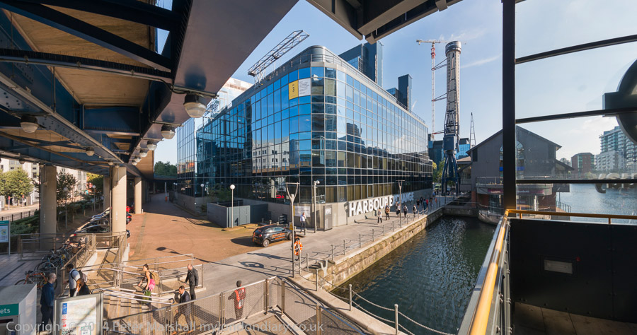
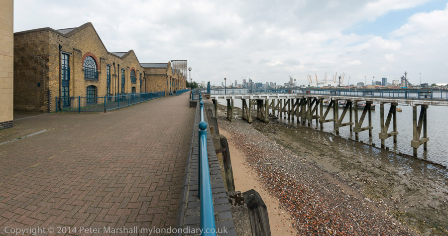
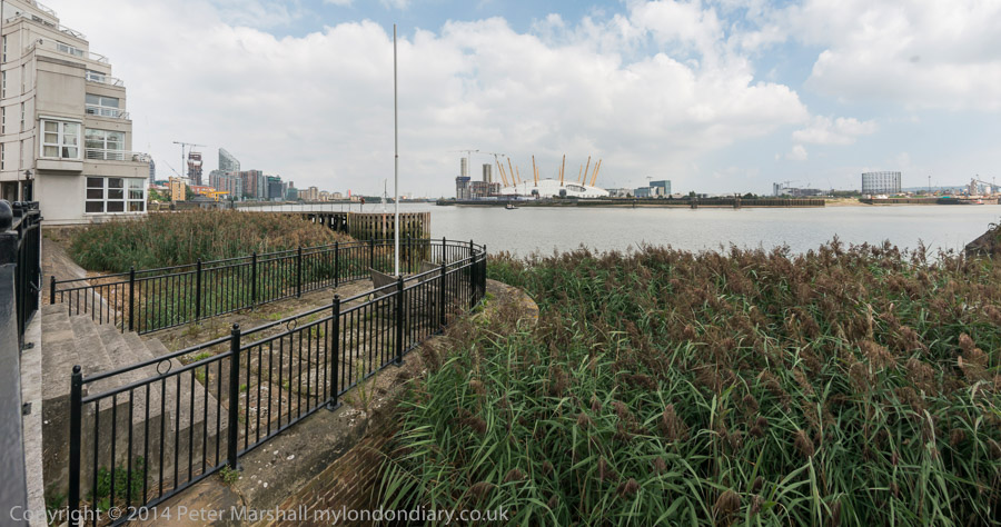
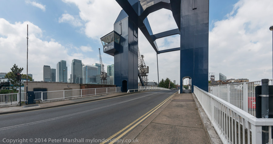
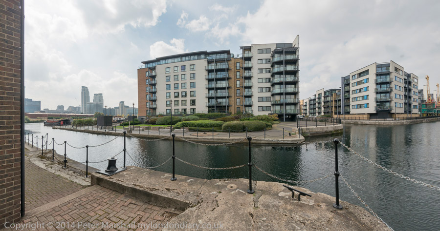
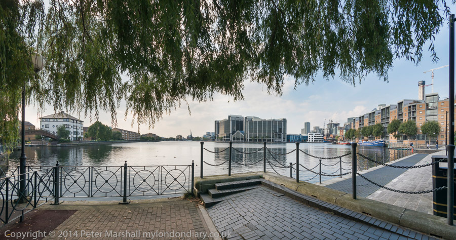
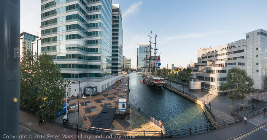
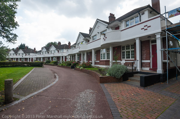
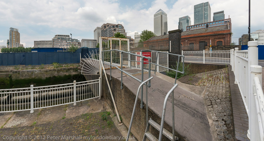
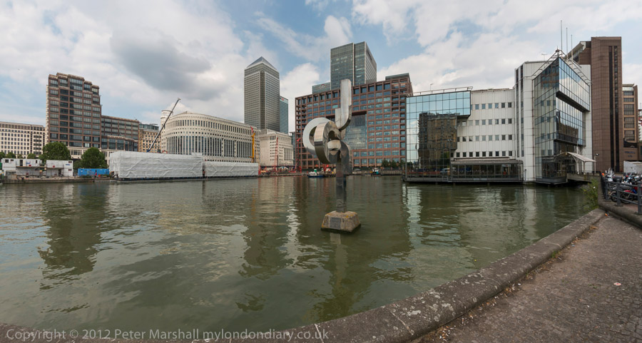
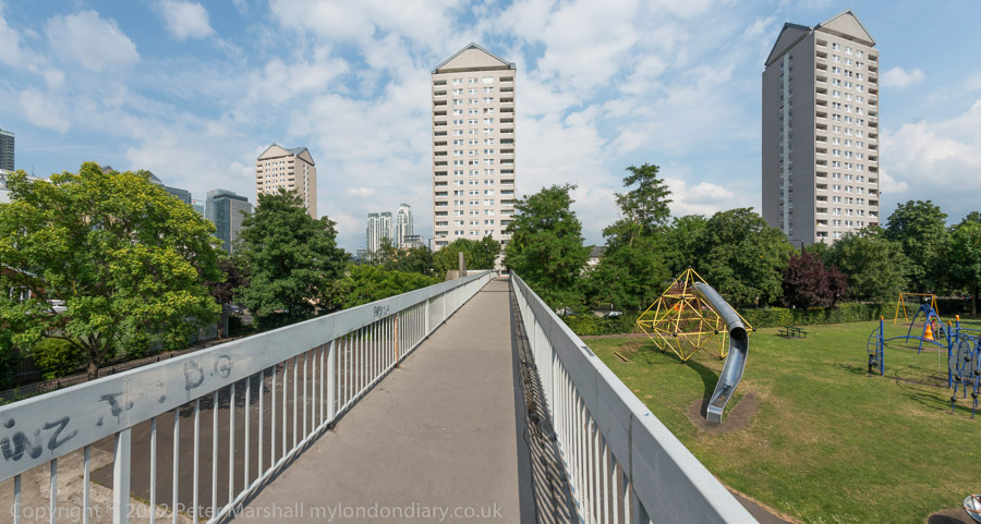
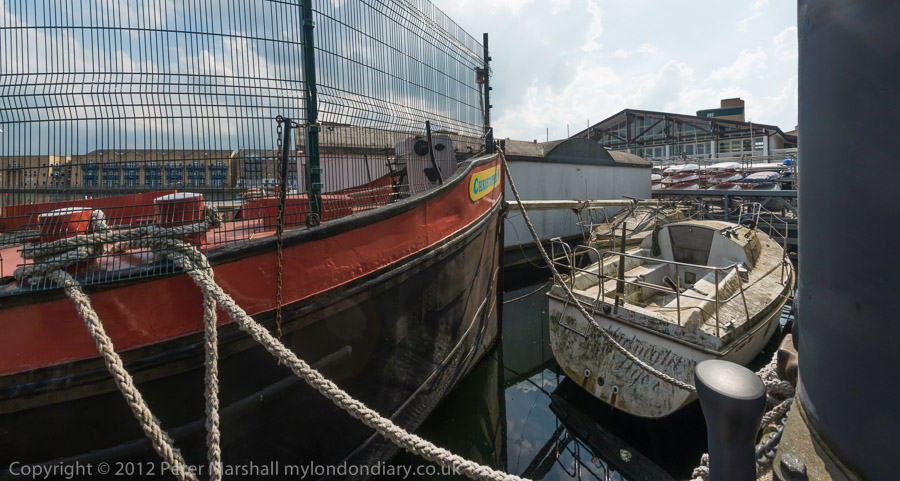
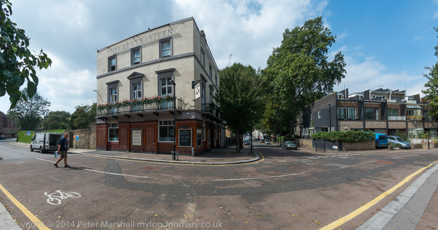
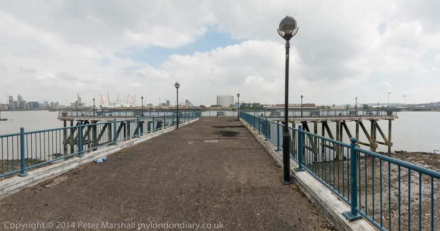
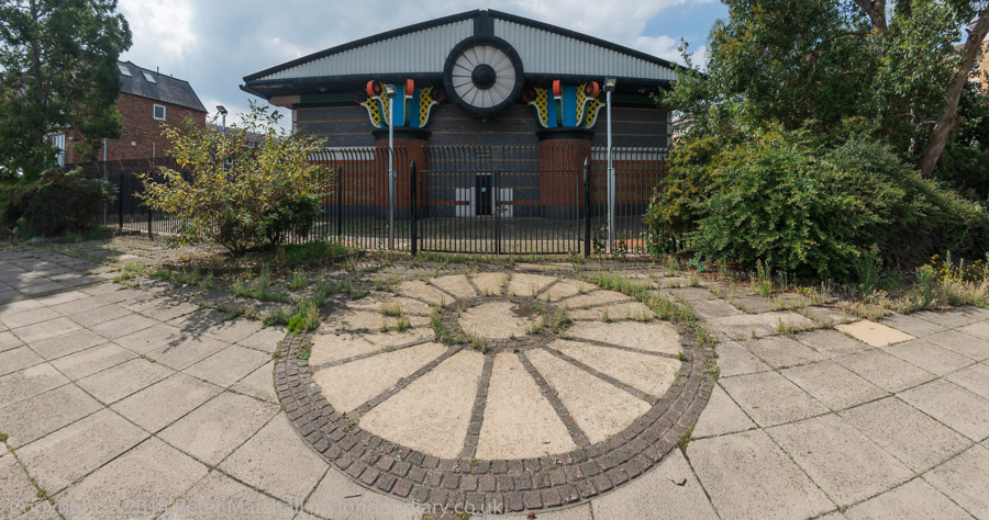
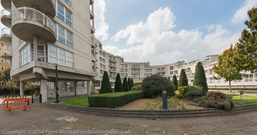
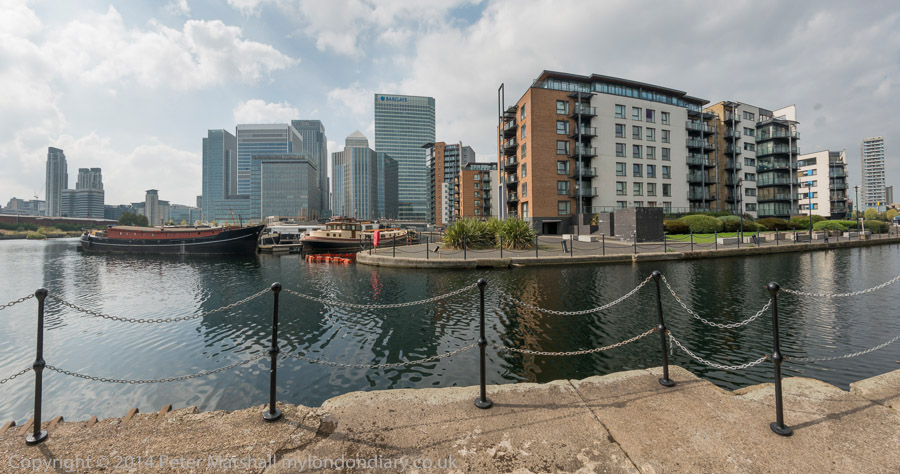
Cycling Around the Isle of Dogs: Tuesday June 24th 2014 was a nice Summer day in London. Not too hot, with a maximum in the low twenties, and with a blue sky tempered by some nice clouds and just a few light showers to cool me down. For me it was an ideal day for a bike ride and also for making some panoramic images.
It was a while since I’d been to the Isle of Dogs, and there had been quite a few changes around there in recent years, so after an early lunch I put my folding bike on the train and made my way to Limehouse.
It wasn’t really a bike ride, more just using the bike to carry me and my camera around the area, stopping on my way to make well over two hundred panoramic images in the roughly two and a half hours it took me to get to Island Gardens, opposite Greenwich for the train home. Later I worked on these images, selecting around 90 to put on-line – a higher than usual proportion. But I do rather more thinking about panoramic images and they require rather more care, particularly to get the camera absolutely level to keep the horizon straight.
I posted them in two groups, Limehouse pans and Millwall – Isle of Dogs pans. All the images were converted using the PT Gui software implementation of the Vedutismo perspective (also called Panini) made popular by Canaletto and other Italian cityscape painters in the 18th century which allows a more realistic representation of extreme angles of view – something like 147 degrees horizontally in these images. These would be impossibly stretched towards the edges in a normal rectilinear view, which only works up to around 90 degrees.
You can see any of these images larger on the links given to My London Diary at the end of this post, or by right-clicking on any of them and selecting to view them. Rather than write more about the ride here, I’ll quote from one of the posts there:
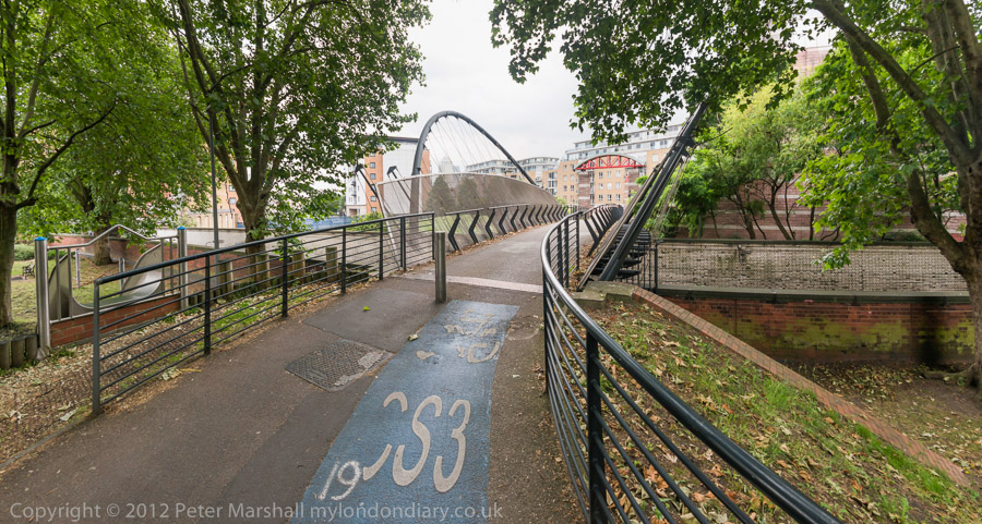
When I first walked these streets there was virtually no access to the riverside, with wharf after wharf between Westferry Rd and the river until you came to the park (Sir John McDougall Gardens.) A footbridge led from the Barkantine estate – built to replace a heavily bombed area of densely-packed small houses. South of this you again walked along the busy street until there were a few empty wharves around the south of the Isle of Dogs.
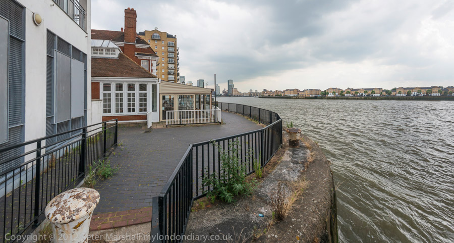
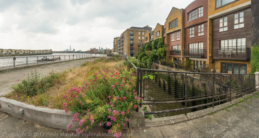
Now you can walk mainly along the riverside, with only one working area blocking the path. But there are several other places where you have to divert, including one wall dividing social housing from its wealthy neighbours. There was also a temporary diversion in one area, though it wasn’t clear why.
Further on are fine views across the river to Greenwich, along with further diversions from the riverside, where several earlier developments did not include riverside walks.
The Thames is too wide here for a panorama to work well without some foreground interest, or cropped to a very narrow strip. At the end of the ride, I did make a few pictures from Island Gardens across the river with a rather longer lens. These are in a separate post, also linked below.
Isle of Dogs and Class War: The weather was fine on Wednesday September 3rd 2014, with some nice clouds which made it a good day for some more panoramic photographs, and I went up earlier in the day to continue my pictures around the Isle of Dogs before covering an evening protest by Class War in Aldgate.
Isle of Dogs – Island Gardens to South Quay
Back in the 1980s I set out to photographed extensively in London’s docklands, part of a wider project on the de-industrialisation of the city, partly a response to changes in technology and globalisation, but greatly accelerated by the Thatcher government which saw great opportunities for their supporters profiting by a switch from manufacturing to service industries.
The government policies perhaps made some sense at the time – and certainly made some large profits for the friends and supporters of the Tories, but in many ways we are paying for them now, particularly for their ‘selling off the family silver’ by privatising utilities and other publicly owned activities.
In the docks the main changes were due to containerisation and other efficient ways of handling cargo. Much larger vessels came into service and the long journey up the River Thames to London’s Docks was difficult or impossible, as well as adding significantly to turn-around times. Only Tilbury, miles closer to the sea remained viable.
The changes to Docklands could have been managed for the benefit of the existing populations to the area, with development being carefully planned and managed locally. Instead we got the London Docklands Development Corporation which overrode local interests to benefit those of corporations but did produced a more rapid development than would otherwise have taken place. But it was a huge give-away to private developers, resulting in dramatic changes, and one that the area will continue to suffer from for generations.
Many of my pictures from the 1980s in colour as well as black and white are now available on Flickr in a https://www.flickr.com/photos/petermarshall/albums number of albums and there are also a number of books available on Blurb (in print and as PDF) with the Isle of Dogs being included in City to Blackwall ISBN: 978-1-909363-09-0 which has a working preview.
My walk in 2014 began at Island Gardens DLR station, where I had finished a previous walk, and I continued along the riverside path to the Blackwall Entrance, across to Poplar Dock and Blackwall Basin, down Prestons Rd and Manchester Road to East Ferry Road, and then up and around a little on my way to South Quay Station.
In 2014 I was mainly making digital panoramic photographs, with a horizontal angle of view of around 145 degrees – much greater than can be achieved with a normal rectilinear perspective. These pictures use a projection which keeps vertical edges straight and also gives a straight horizon line (so long as the camera is kept level) but other lines and objects away from the centre of the image curve. Similar projections were used by artists such as Canaletto. These images here have a aspect ratio of 1.9 to 1.
There are two posts on My London Diary with many more panoramas and a few ‘normal’ views from this walk: Isle of Dogs Isle of Dogs Panoramas
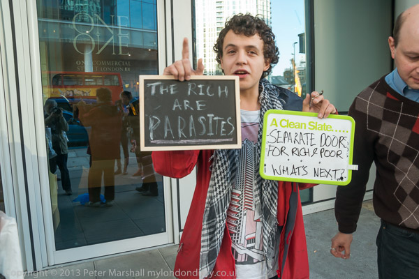
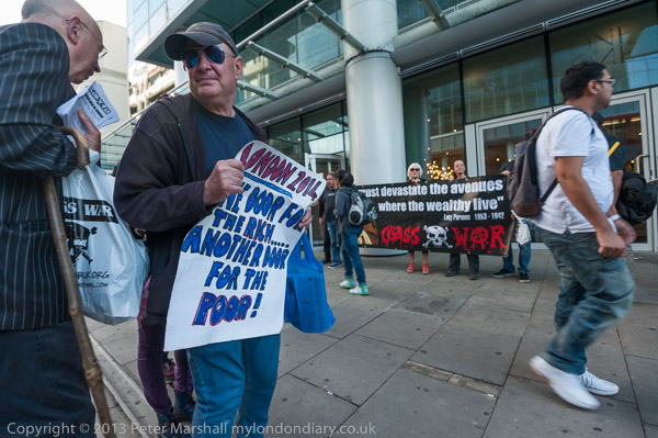
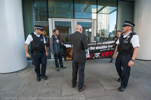
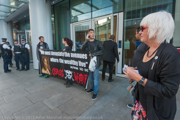
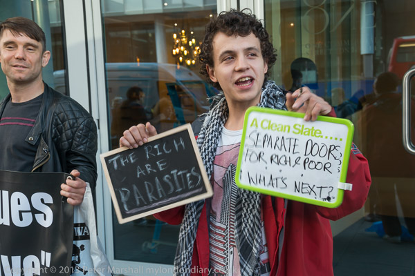
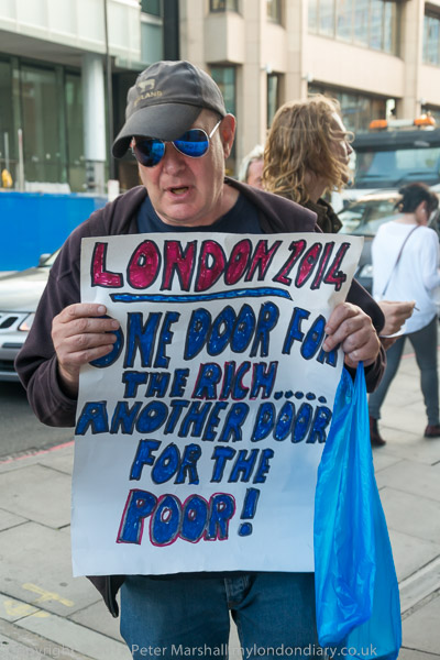
Class War ‘Poor Doors’ picket Week 6 – Aldgate
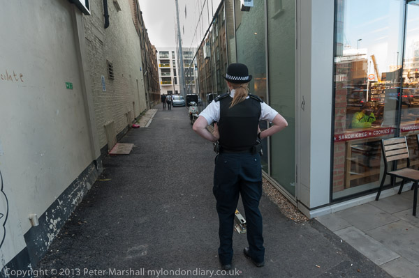
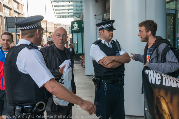
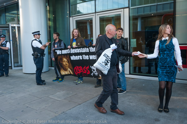
I got back a few minutes early to where Class War were to stage their sixth weekly protest against the separate doors for the wealthy residents and social housing tenants in the block ‘One Commerical St’. The entrance for the rich is on Whitechapel High St next to Aldgate East station while the poor door is down an alley on the west side of the building.
Unlike in previous weeks there were police already there and waiting for the protesters, a sign that the police were taking a firmer stance against the protests here. Almost certainly they were responding to pressure from the owners of the building, and their activities against the protesters were to heighten further in later weeks.
When the protesters arrived, officers immediately came and talked to them, making it clear that they were not to block the doorway for people entering or leaving the building.
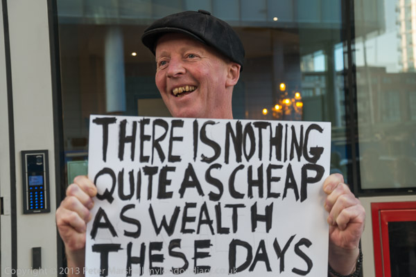
More police arrived, outnumbering the small group of little more than a dozen protesters who had come to hand out leaflets to people on the street outside. Many passing expressed surprise that this kind of segregation of rich and poor was allowed to happen in London and showed support for the protest.
It was perhaps the smallest of the series of thirty or so ‘Poor Doors’ protests outside this building. There were quite a few arguments with police officers but no arrests on this occasion.
This post starts where my previous post on the walk left off, on Emmett Street, no longer present, a victim of both the Limehouse Link tunnel and the edge of the Canary Wharf development at Westferry Circus. I think it this was taken just a little further south than the previous picture and the view between buidlings with several cranes is to the luxury flats being built on the Limehouse bank of the Thames.
A little further south on Westferry Road, with the high dock wall at the left and Cascades Tower, designed by the architects Campbell, Zogolovitch, Wilkinson and Gough (CZWG) in the distance ahead. This unusual block of luxury flats built in 1985–88 was the first private high rise block in Docklands. Going down Westferry Road was entering a huge building site – and the graffiti on the bus shelter states WORLDEXIT (though its actually where a bus would take you back into the world.) When built the flats were almost impossible to sell or rent and Tower Hamlets council let them to teachers at £17 a week. Now they are rather more expensive, at around £400 per week for a one bed flat, and selling for around £500,000 and no teachers can afford to live there.
I think the slight rise in the road, which also bends slightly is possibly the former Limehouse Basin entrance and this section of Westferry Road was perhaps what had previously been Bridge Road.
George Baker & Sons (Millwall) Ltd, builders and joiners, were according to the Survey of London only at this site from 1985 until it was cleared in 1987-8. But the name here looks older and this is the remains of a fairly elegant three-storey building, a photograph of which from 1987 is in the Survey of London. It was built on what was then Emmett St in the 1860s for Thomas Dominick James Teighe and Frederick Smith, sailmakers and ship-chandlers, and from 1902 to the early 1980s occupied by Fitch & Son, provision merchants.
Westferry Rd, Isle of Dogs, Tower Hamlets, 1988 88-7p-53
Considerable building work taking place close to Westferry Circus, with Cascades Tower visible in the distance.
South Dock Entrance, Westferry Rd, Isle of Dogs, Tower Hamlets, 1988 88-7p-41
Sand and gravel works on the north side of the former South Dock Entrance, with a view across the River Thames to Columbia Wharf in Rotherhithe.
Westferry Rd, Isle of Dogs, Tower Hamlets, 1988 88-7p-43
A bus stop at left on Westferry Road, the Island Car Service, much needed as the bus service was poor and unreliable and Timber Merchant John Lenanton & Sons Ltd on the corner of Manilla St, with the Anchor & Hope public house part visible at the right edge, and behind one of the towers of the Barkantine Estate. The car service was in the shop at 31 which for many years was Wooding’s newsagents. The Anchor & Hope had been opened since at least the 1820s, and possibly as it until recently stated on its frontage was established 1787. The building is still there though it closed as a pub in 2005. It was extensively refurbished for residential use in 2015 and the ground floor later became a gym.
Ming St, Limehouse, Tower Hamlets, 1988 88-7p-44
I walked back north to Ming St in Poplar, part of London’s first Chinatown, and renamed to reflect this in 1938 when many of London’s streets were renamed to avoid confusion – previously it had been since 1820 one of many King Streets. This was part of the Limehouse of Sax Rohmer‘s racist imaginings of opium dens and crime in his 18 book Dr Fu Manchu series, begun in 1913 and continued after Rohmers death by his biographer and assistant Cay Van Ash.
His work brought wealthy upper-class slum-tourists to the area, where they perhaps enjoyed meals in restaurants such as Wah Ying, but they will have found little evidence of Fu Manchu and his team of assassins, human traffickers and drug traders of the dreaded Sci-Fan secret society. Chinatown was one of the more law-abiding areas of the East End, and the Chinese certainly more law abiding than most.
Ming St, Limehouse, Tower Hamlets, 1988 88-7p-45
The Peking was another remnant of the Chinatown past, mostly now moved away to Soho, though there is still a Chinese restaurant on the East India Dock Road, along with the Chun Yee Society. Dockland Light Railway trains now run across the bridge in the distance. The building at right with a dome was Charlie Brown’s pub on West India Dock Road. All this is now demolished.
The White Horse, pub, Saltwell St, Poplar High St, Poplar, Tower Hamlets, 1988 88-7p-46
Going east along Ming St takes you to Poplar High St, and on the corner of Saltwell St where the High Street begins you can still see a large white horse on top of a wooden post, though it seems rather smaller now than in my picture, and is closer to the street corner. There had been a White Horse pub on this site since 1690 though I think the building in this picture is probably from the 1920s when it was taken over by Truman’s Brewery. They sold it in 2003 and it was demolished and replaced by a block of flats. According to the Lost Pubs Project, “In 1740 it was, scandalously, run by a Mr & Mrs Howes, both of whom were actually female. ”
The horse was Grade II listed in 1973 and has the shortest listing text I’ve come across: “C18 wooden carving of a white horse on post in forecourt.” The lower part of the sign with the pub name fell down and has been removed, but the horse has been repainted since my picture.
Click on any of the images to see a larger version in my album 1988 London Photos from where you can browse the album.