Point Pleasant and the Thames: Continuing my walk on Sunday 4th March 1990 had begun at Clapham Junction in Battersea with St John’s Road & East Hill, Battersea – 1990 and the previous post to this was Yet More Wandle.

I get a fleeting view of these cottages as my train goes past between Putney and Wandsworth Town at ‘Point Pleasant Junction’ which still connects the National Rail lines with the District Line to Wimbledon. The bridge over the lines was closed in 1987 as unsafe and partly demolished, though the piers remain and the remaining link made bi-directional. It is now only used by excusions and some empty trains – but I was on a train that took this route during an emergency deviation quite a few years ago.
I don’t know how Point Pleasant got its name, though it seems to date back as long as the street existed. Perhaps it was simply lead to a pleasant view of the River Thames.
I think these cottages are present on the earliest maps of the area I have seen from the early years of the 19th century, though its hard to be sure and they may have replaced earlier cottages on the site. Surprisingly the 14 cottages do not appear to be even locally listed.

But Point Pleasant was long an industrial area. According to Ediths Street’s Edward Barker set up an ironworks here in 1634 making small articles such as frying pans and to have been a major arms supplier to the Civil War. His site was sold to Gatty and Waller in 1771 and they set up a chemical works distilling vinegar and producing other chemicals.
The Union Brewery opened here in 1820 and closed in 1920. Richard Seligman set up the Aluminium Plant and Vessel Co. a specialist aluminium welding business, on part of the brewery site in 1920 and his works eventually covered most of Point Pleasant, moving out to Crawley in 1952. I think this factory, built in two stages, was a part of those works.

Redevelopment of the whole area was just beginning in 1990, and although it started well – and even received a Housing Design award in 2005, later developments have been considerably higher and far less sympathetic.

There is one Grade II listed property in the area, this house built for a local businessman in 1805-6 who probably did enjoy a pleasant view. It is listed as an excvellent example of domestic Georgian architecture. Just down the road is a locally listed pub which I failed to photograph or to visit. Then I think it was then a Watney’s pub, The Foresters Arms, but shortly after, when its resident cat went missing and then returned was renamed ‘The Cat’s Back’. Taken over by Harvey’s in 2011 it is now apparently a pub worth visiting both for the beer and its now quirky interior. Perhaps time for me to revisit Point Pleasant!

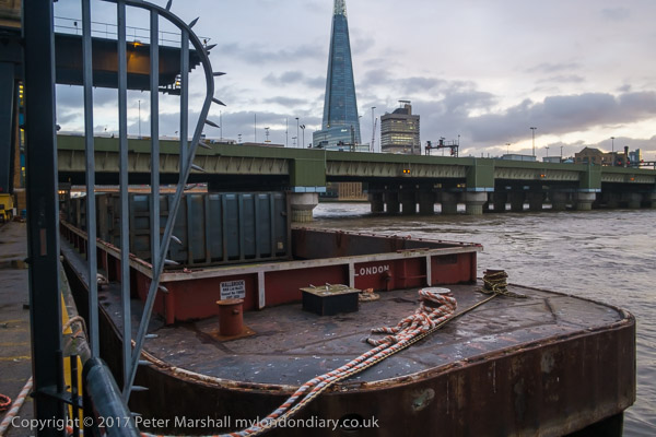
The riverside view downsteam from close to Point Pleasant. Certainly interesting but I don’t think I would describe it as pleasant. Moorings now obscure much of the view.

The Shell Oil terminal on Osiers Road, an area marked on old maps as a marsh with tidal channels on the corner of the River Wandle and River Thames. Doubtless before Shell it had willows, perhaps harvested for wicker baskets etc.
The site is now crowded with much taller blocks of flats, including a 21 storey tower, with 275 homes. At least it no longer reeks of oil, though I think I could still smell it faintly when I walked around the new riverside path here shortly after it opened.
Still one more set of pictures from this long walk to come.
Flickr – Facebook – My London Diary – Hull Photos – Lea Valley – Paris
London’s Industrial Heritage – London Photos
All photographs on this page are copyright © Peter Marshall.
Contact me to buy prints or licence to reproduce.