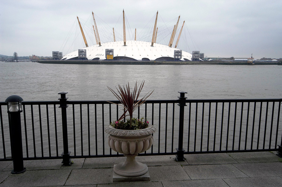
Canning Town & West Silvertown – 2007. Part 1

Canning Town & West Silvertown: Recently I published here a few pictures from a walk in this area in 2006. On 23 June 2007 I led a group visit around the area for London Arts Cafe, LAC, an organisation that ceased to exist a few years later, then devoted to “viewing, expressing and discovering all forms of urban art“.

Although the LAC has long been wound up, I had been responsible for its website, and decided to leave it online – with a clear message that the organisation no longer existed – as a historical record which still contained much interesting material – including the backgrounds of notes that I wrote for the walk I led around the area in June 2007.
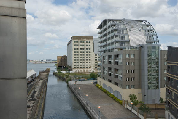
As I wrote on My London Diary in 2007, “there was much to look at, including public art, relics of the docks and the new developments that make this one of the largest of current regeneration areas.”

You can still read the ‘Canning Town Walk (June 2007)’ in full on the LAC web site, beginning here and split into ten sections, each with its own page. You are welcome to print it out and follow it for your own walk around what is still a very interesting area of London, though you will note some changes. Here I’ll include the few pictures from these pages, mainly taken on 21 June on my final planning trip for the walk a few days later with a few others, mainly from the same era.
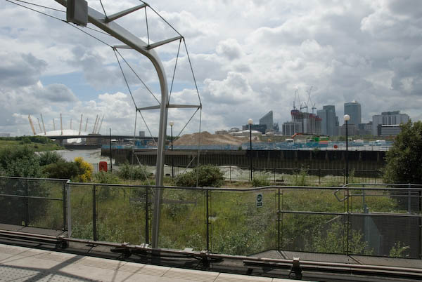
Bow Creek from Canning Town Station DLR platform

It’s a walk that like many I made in the area was based around the Docklands Light Railway which had made transport to the area much simpler. The area has changed in many ways since 2007, not always as I expected, but I think the walk is still a good guide to the area.


Canning Town Walk (June 2007)

1 Introduction

The walk starts at the top of the stairs leading up from Canning Town Station to the Bus Station.
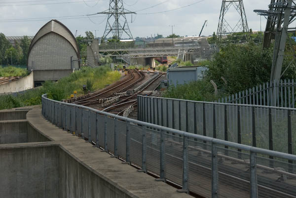
The DLR runs south, to Beckton and North Woolwich (now to Woolwich Arsenal). At left is the tunnel entrance for the Jubilee Line

You can read this on your way to Canning Town Transport Interchange, served by various bus routes, the Jubilee Line and the Docklands Light Railway (DLR.)
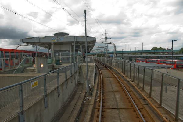
DLR platforms and buses in the bus station at Canning Town

Canning Town is in the London Borough of Newham. The latest census showed the population of Newham to be 61% non-white – the highest proportion for any British borough. 41% of the population are under 24 – the highest figure in England and Wales. It has the second highest proportion in the country of three ethnic groups, Asians, Bangladeshis and Black Africans.
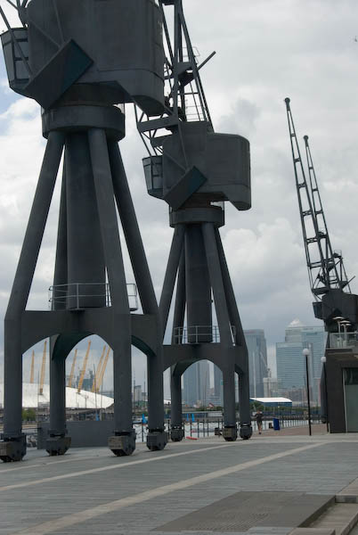
Dockside cranes – the Royal Docks closed to commercial traffic in 1981.

Unemployment in Newham is 6.7%, higher than any London borough other than Hackney. Youth unemployment is particularly high, as is the number of unemployed single parents. Canning Town has in the past been one of the most deprived areas of the borough on most social measures.

Demolition at Pura Foods on Bow Creek in September 2006. Bow Creek runs around three sides of the site

Canning Town has Bow Creek – the lower reaches of the River Lea – at its western edge. The Lea is the traditional border between civilisation (Middlesex) and Essex and when the London Building Act of 1844 proscribed noxious industries from London, a more over the river found a laxer regime.
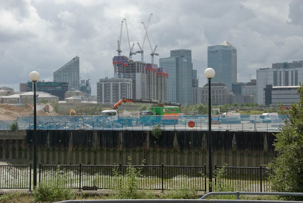
Demolition of Pura Foods, a noxious edible oils works, was almost complete in 2007

The 1840s were also the age of rail building, and the railway companies saw the potential of this riverside area, known as the Plaistow levels, several miles of empty marsh between Bow and Barking Creeks. One of them bought up the area at a knock-down price, and started making plans for docks that their railway could service.
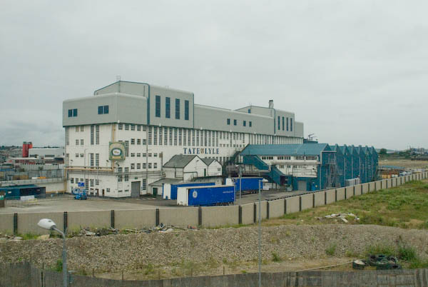
Tate & Lyle originally built two competing sugar works; later the two businesses joined.

The first major industry to move onto a riverside location was C J Mare’s shipbuilding firm in 1846, soon followed by a glass factory owned by the brothers Howard. In 1852, S W Silver & Co, the Cornhill outfitters, set up a factory on the Thames to make rubber coated garments (an idea they borrowed from a Mr Charles Mackintosh.)


More detail about the Thames Ironworks in the Part 2 of my June 2007 Canning Town walk document which will be a later post.


One of the best-known businesses in the area was the ship-builders Thames Ironworks who were founded to take over Mare’s several sites in the area in 1857. They were the last of the London shipbuilders, specialising in their later years in building warships and mail steamers. The company finally closed in 1912-3, but the football club set up by managing director and philanthropist Arnold Hills for its workers in 1895 had changed its name in 1900 to West Ham United.
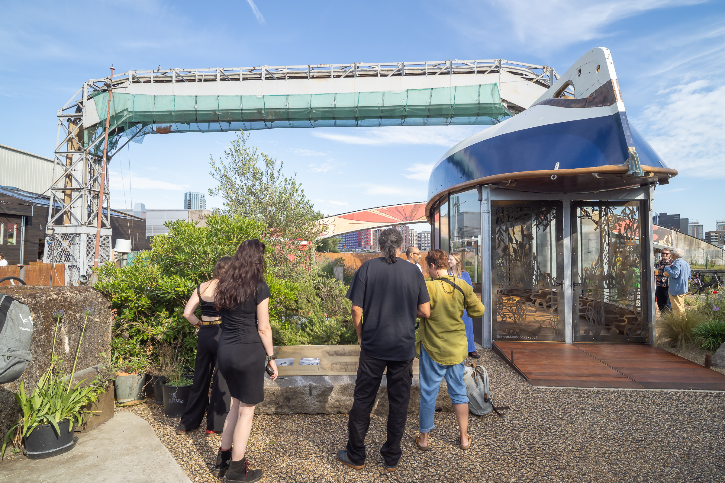
Last week I was pleased to attend the opening of a heritage pavilion, the Boat House, at Cody Dock on Bow Creek, which uses the fully restored Frederick Kitchen lifeboat as its roof. This is thought to have been the last craft completed by the Thames Ironworks in 1913.

More detail about the Thames Ironworks in the next part of my June 2007 Canning Town walk document.


FlickrFacebookMy London DiaryHull PhotosLea ValleyParis
London’s Industrial HeritageLondon Photos

All photographs on this page are copyright © Peter Marshall.
Contact me to buy prints or licence to reproduce.
Canary Wharf Workshop 2004

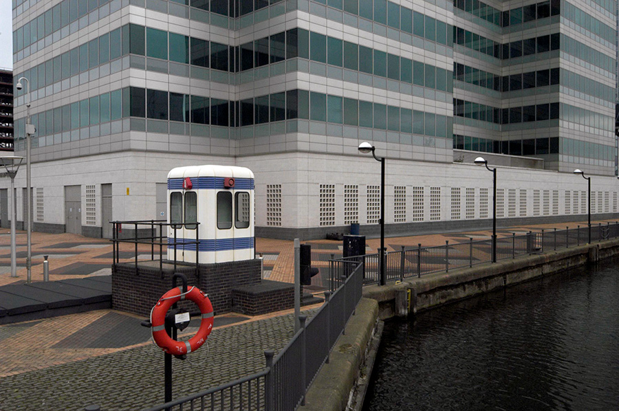
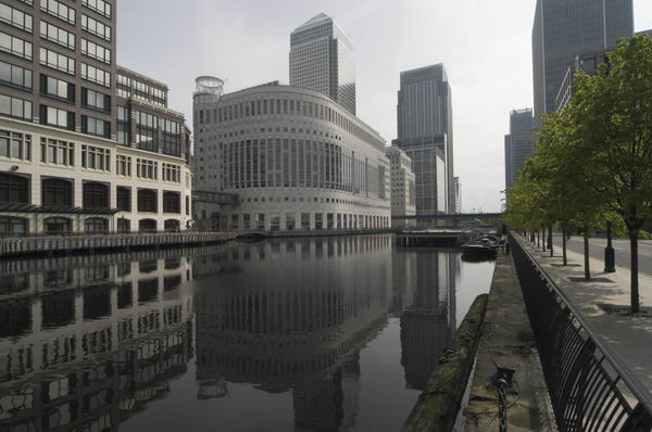
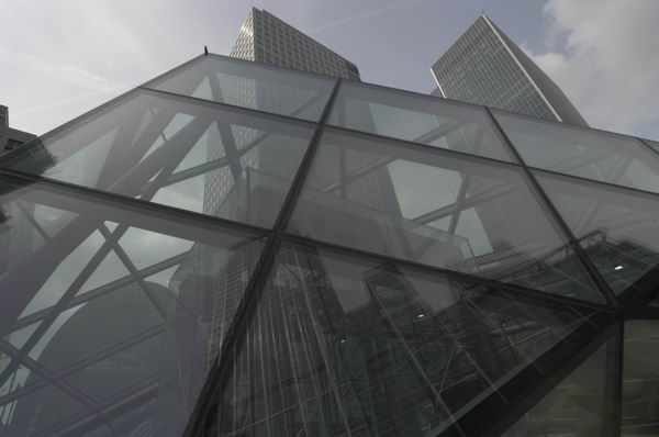
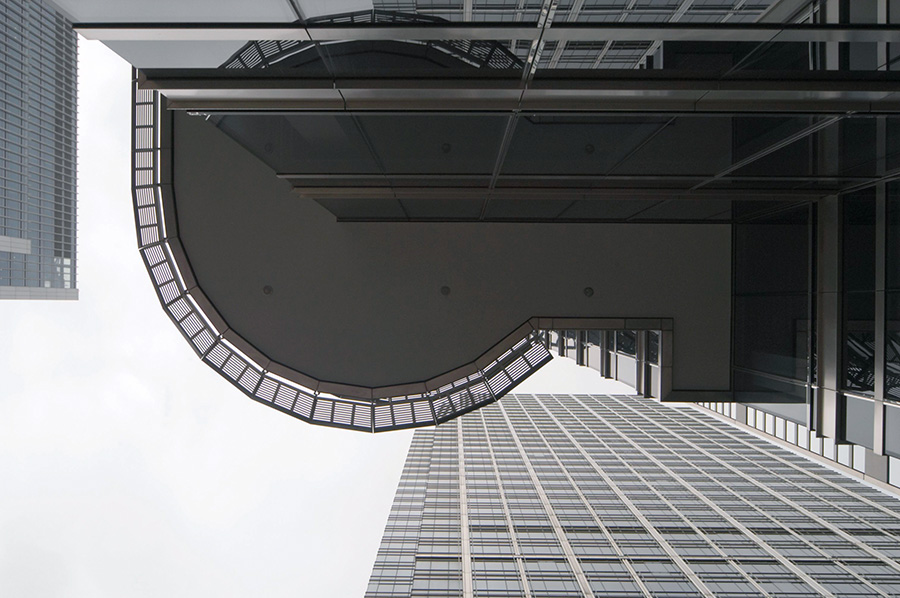
Canary Wharf Workshop – On Sunday May 9th 2004 I led a small workshop group of photographers on a walk which started at Canary Wharf and then went to Canning Town and the River Thames. Although photography is theoretically banned on the Canary Wharf estate we had no problems with security, probably because we kept to obviously public areas and I had asked those taking part not to use tripods.

Canary Wharf Workshop

I was never a fan of the redevelopment of London’s docklands under Michael Heseltine and the London Docklands Development Corporation set up in 1981. Of course development was needed after the docks became redundant, but we should have seen a development that was made for the interests of the population of London, not simply for the mates of the Tory Party.

Canary Wharf Workshop

The area needed some kind of overall planning authority, but one that worked with the local authorities in the area rather than against them, ignoring their priorities.

Canary Wharf Workshop

Of course there were gains from the work of the LDDC, perhaps the main ones being the Docklands Light Railway and the Jubilee Line Extension to Stratford. Certainly by the time it was wound up in 1990 it had changed the whole area significantly. But many of those changes had sacrificed local needs to business profits.

Canary Wharf Workshop

The piece that I wrote about the day reflected my political views about what had taken place. A year or so later London won the bidding for the Olympics, leading to yet more development in the area by an authority that disregarded local needs and led to inappropriate development, still proceeding, in East London. I’ll reproduce what I wrote in 2004 here, with minor corrections, particularly to capitalisation and spelling.

May 9th 2004 found me taking a group of photographers for a walk around some parts of London’s docklands. We started at the centre of this ‘crime of the century’. I still don’t quite understand why a Conservative government felt so at odds with the City of London that it decided to set up offshore competition in the Enterprise Zone.

The feeding frenzy that ensued, trousering public property and tax breaks into the private pocket at an unprecedented rate was inevitable.

The long-term consequence has been a distorted development with few real buildings of distinction but some expensively finished tat, and a lack of overall planning. I’m not sure that London would benefit from gaining the Olympics for which it is currently bidding, but if it fails, probably part of the reason will be the Docklands debacle.

We started below the obscene gesture towards the old city, at least clear about its symbolism, then took the DLR down to Crossharbour with its silly bridge, walking back to the Wharf and taking the Jubilee to Canning Town.

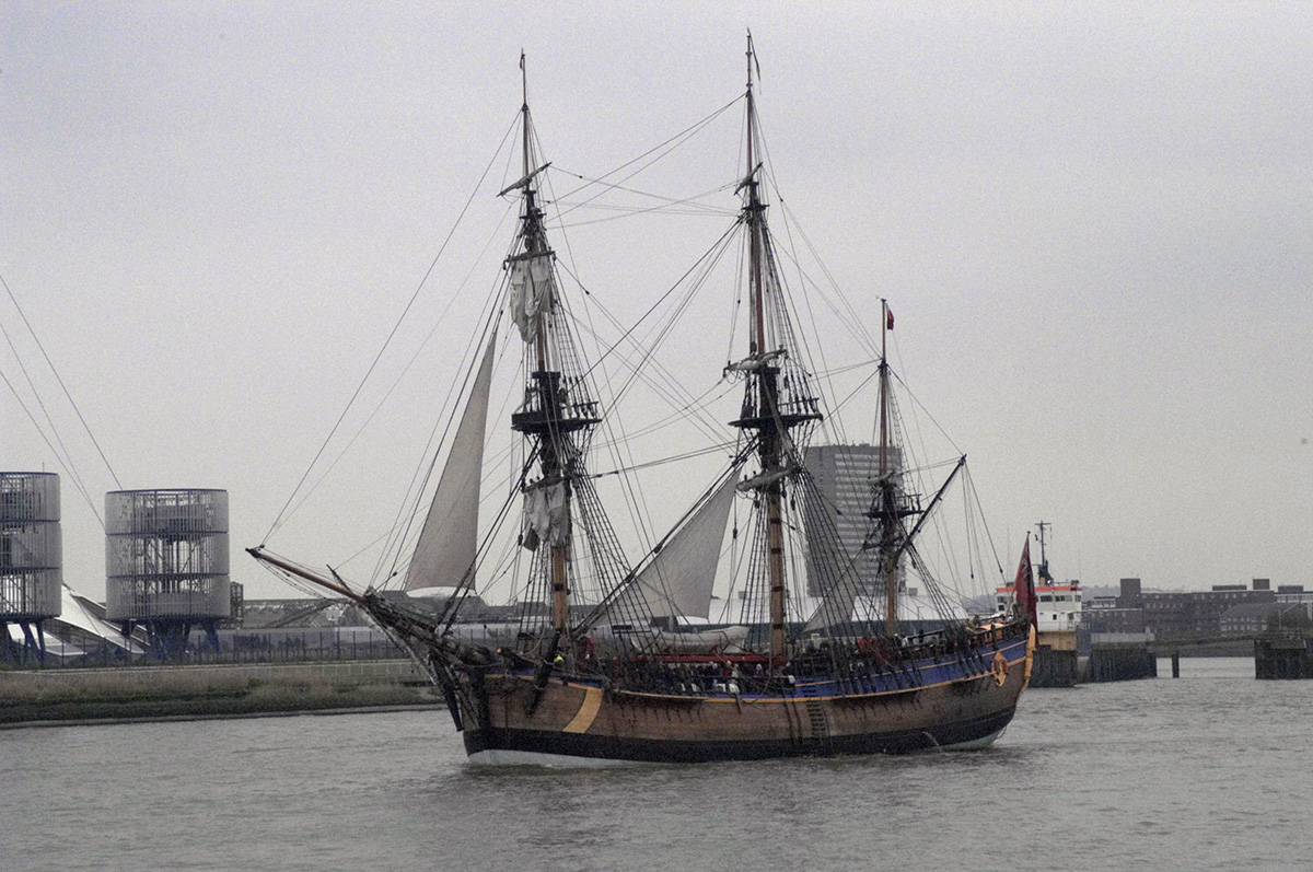
Then back alongside the Lee (still waiting for that riverside walkway) to East India dock basin and along by the Thames, where a galleon appeared in front of the dome.

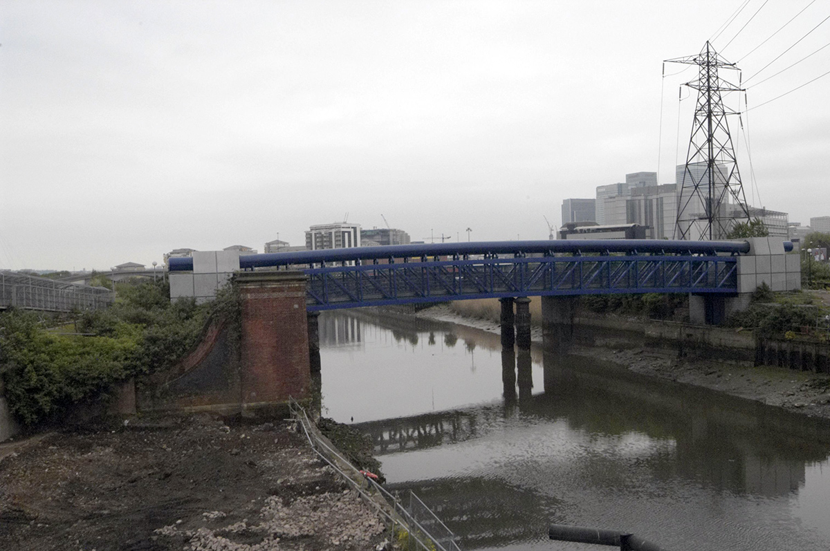
The River Lee is here better known in its tidal section as Bow Creek, and we are still waiting for parts of that riverside walk to be opened if they ever will be. There was a competition for a new bridge across Bow Creek with a wining design named, but money disappeared and it was never built. But a few years ago we did get a different new bridge higher up by Canning Town station and the development of the industrial site of Pura Foods as London City Island.

A few more of my pictures from the walk on My London Diary


FlickrFacebookMy London DiaryHull PhotosLea ValleyParis
London’s Industrial HeritageLondon Photos

All photographs on this page are copyright © Peter Marshall.
Contact me to buy prints or licence to reproduce.

Surrey Docks & North Bermondsey 1988

I can no longer remember whether the short excursion to Greenland Dock from Rotherhithe came at the end of my previous walk or a few days later at the beginning of my walk on 28th October 1988, though of course it doesn’t really matter. The story of my previous walk began at Greenwich and Deptford Creek October 1988 and ended with Deptford to Rotherhithe October 1988.

I’m unsure now whether I took the fist few of these pictures at the end of my previous walk or at the start of my next one, but it hardly matters as they are in the same area and within a few days of each other.

Lifting Bridge, Dockside sheds, Redriff Rd, Rotherhithe, Southwark, 1988 88-10j-03-Edit_2400
Lifting Bridge, Dockside sheds, Redriff Rd, Rotherhithe, Southwark, 1988 88-10j-03

This is one of the two bridges that linked the riverside areas of Rotherhithe and the Surrey Docks to the area around Lower Road and Surrey Quays station, then on the East London which ran between Shoreditch and alternately to New Cross or New Cross Gate, linking to the District line at Whitechapel. Both have been preserved, though not in working order and this one a short distance from it former site.

At the centre of the picture you can see the curved lower end of the bridge and below it the flat rail on which it rolled back to raise the bascule, with a heavy counterweight above so very little power was needed to raise the bridge.

Greenland Dock, Rotherhithe, Southwark, 1988 88-10h-12-Edit_2400
Greenland Dock, Rotherhithe, Southwark, 1988 88-10h-12

Several relics from the working docks, including this capstan are still present at the east end of Greenland Quay.

Greenland Dock, Rotherhithe, Southwark, 1988 88-10h-13-Edit_2400
Greenland Dock, Rotherhithe, Southwark, 1988 88-10h-13

Four people in kayaks link up and stop to talk to each other in Greenland Dock. I was standing at the end of Greenland Quay and looking towards the tower blocks of the Barkantine Estate on the Isle of Dogs across the Thames.

Southwark Park, Rotherhithe, Southwark, 1988 88-10j-62-Edit_2400
Southwark Park, Rotherhithe, Southwark, 1988 88-10j-62

My next picture was made in Southwark Park, which I think I walked through to Jamaica Road. I’m not absolutely sure what the building in the background was, and I think the area it was in has now been re-developed. Somewhere in the north-east corner of the park it was probably a part of the former St Olave’s Hospital which closed in 1984 and was demolished and replaced by Ann Moss Way in the 1990s.

I seem deliberately to have tried to make this picture mysterious, taking three near-identical frames, an unusual number for me at the time when film was relatively expensive.

Major Works, James Jackson and Co, Jamaica Rd, Bermondsey, Southwark, 1988 88-10j-65-Edit_2400
Major Works, James Jackson and Co, Jamaica Rd, Bermondsey, Southwark, 1988 88-10j-51

This works was next to Major Road, though I’m not sure if it took its name from the road or gave its name to it. It was demolished to build Bermondsey Underground Station on the Jubilee Line Extension which opened at the start of 2000. According to the text on its frontage the company was ‘Established 1827’ and made ‘Flooring Adhesives, French Polishes, Wax Polishes, Varnishes, Seals, Staines – Etc.’

Jamaica Rd area, Bermondsey, Southwark, 1988 88-10j-51-2-Edit_2400
Jamaica Rd area, Bermondsey, Southwark, 1988 88-10j-51-2

Relatively few streets in the area aspire to a No 90 and none that I can find that look anything like this now. This was a part of a terrace of 5 similar houses starting at a street corner, with two pairs of doors on the street and one around the corner as another frame (not digitised) shows. It appears to be later Victorian and I suspect has been demolished. The gate was perhaps a 1930s addition.

Lockwood Square, Bermondsey, Southwark, 1988 88-10j-52-Edit_2400
Lockwood Square, Bermondsey, Southwark, 1988 88-10j-52

Lockwood Square was a 1960’s addition to the council’s Southwark Park Estate with flats around a central grass area. There had been a Lockwood Street here and it was probably badly damaged by wartime bombing. The buildings are bounded by Drummond Road, Clements Road and Southwark Park Road. Some of the ground floor is garages and there are a few shop units. To the north is a play area and Saint Crispin with Christ Church Bermondsey and the similar block of New Place Square.

To be continued…