4 DLR Beckton Branch
Pass through the station barrier and go up the two escalators to the DLR platform. Until the Bow Creek Walkway is opened this gives some of the best views of this part of Bow Creek.
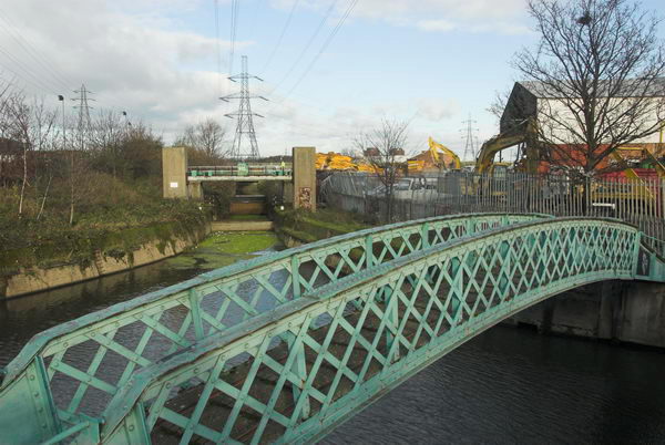
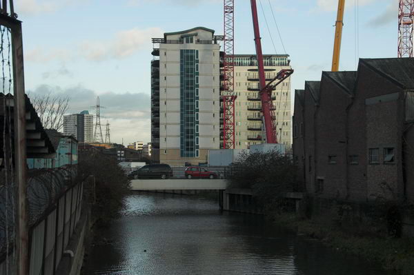
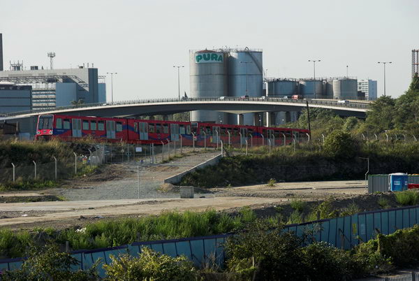
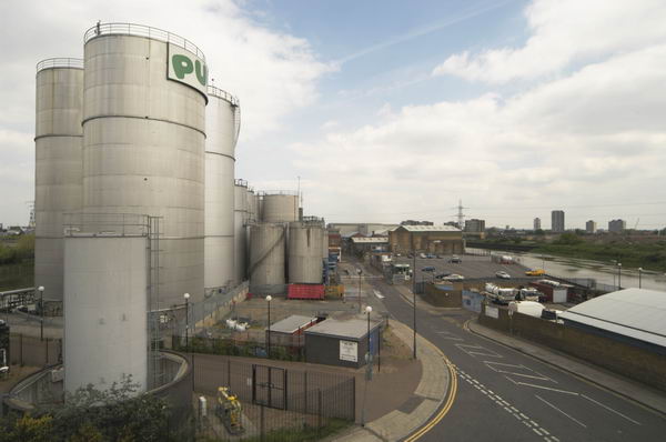
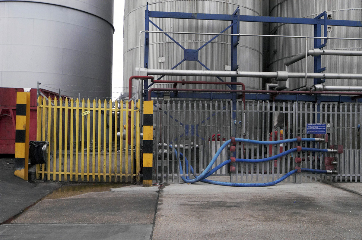
Pura Foods
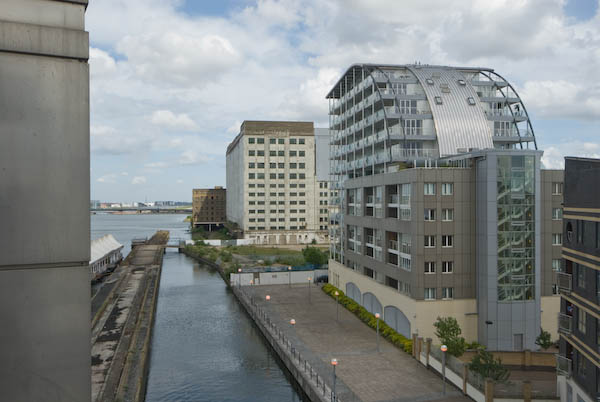
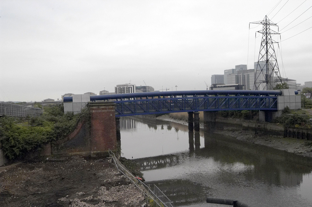
Across the railway track and the Bow Creek is the former site of Pura Foods, a large factory site which filled almost the whole of the area in the bend of the river north of the Lower Lea Crossing, and gave the area both a distinctive appearance and smell.
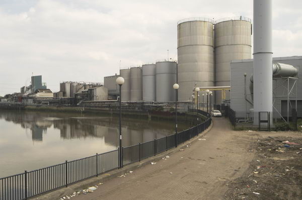
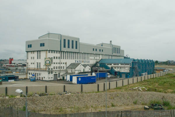
Pura site in 2004 from the SW.
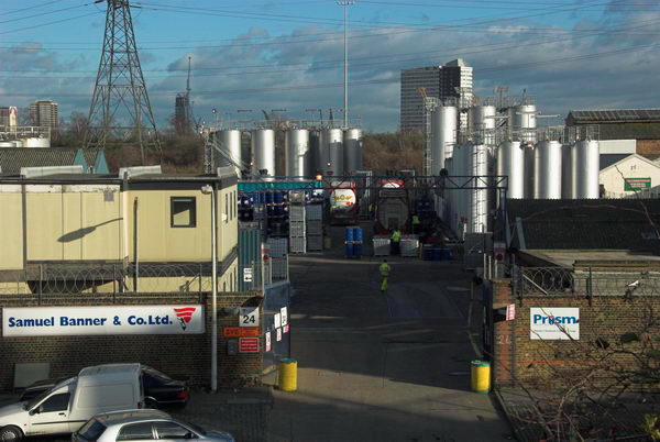
Pura, a leading supplier of edible oils and fats to the UK and for export, began as the Pure Lard Company, but is now a part of a large American company ADM. It moved out of the area probably because of the development value of the site, although there were some years of pressure from local residents in TELCO to improve its environmental act. It continues to process oils on sites further downstream, including Belvedere. Ships used to bring oils to Brunswick Wharf, close by on the Thames, with a pipeline connection to the site, filling the shining storage tanks.
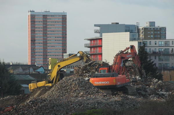
Demolition of the works started around October 2006 and are now (June 2007) virtually complete. A revised planning application seems likely to be approved, if with some revisions. The proposed development is to be mixed use, including a primary school as well as up to 1800 residential units (mainly flats), offices, shops and restaurants, as well as other commercial, community and leisure space. It will be very different from the old site. [London City Island – which has a new bridge across Bow Creek, close to the riverside exit from Canning Town Station. You can now walk through the development and on down to Trinity Buoy Wharf at the mouth of Bow Creek]
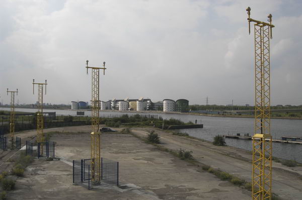
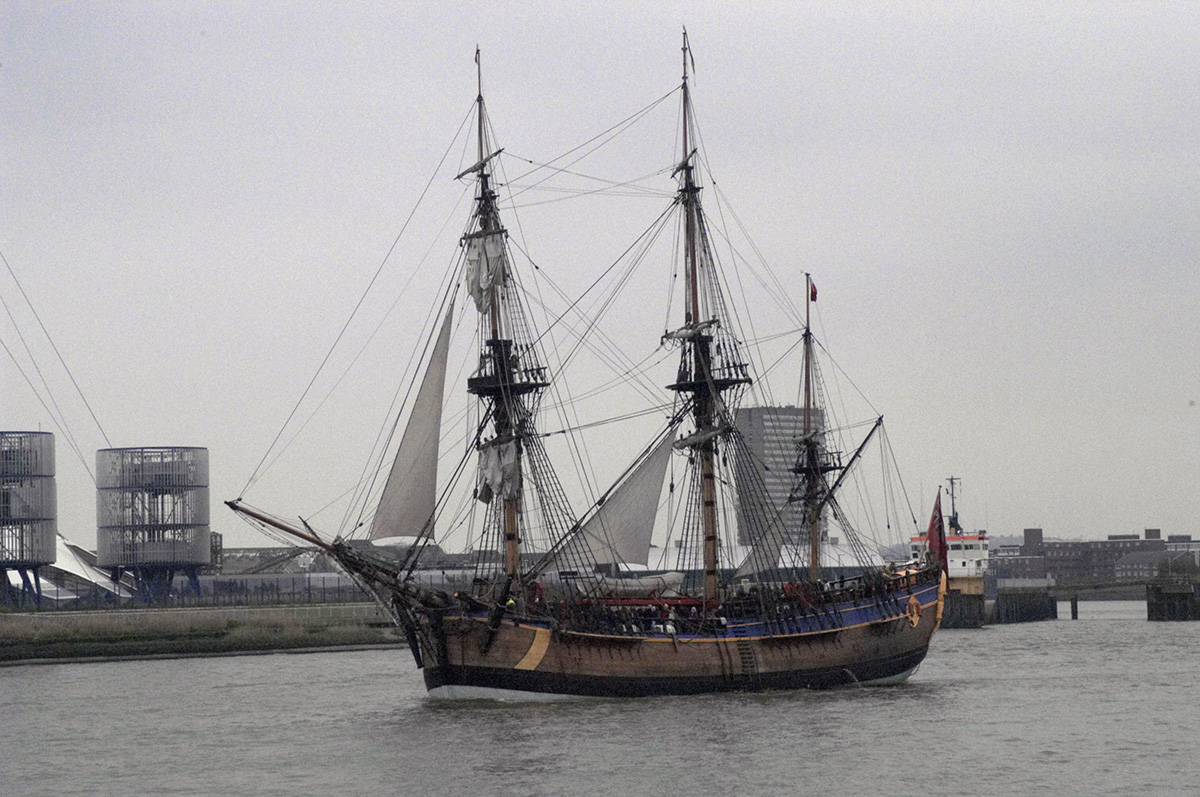
Thames Ironworks
These occupied most of the land on the Essex side of Bow Creek, some of which you can see from the platform, as well as parts of the other side closer to the Thames.
Thames Ironworks occupied most of the land adjoining Bow Creek
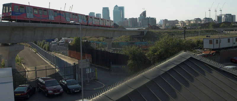
Board a train for Beckton, getting off at Custom House
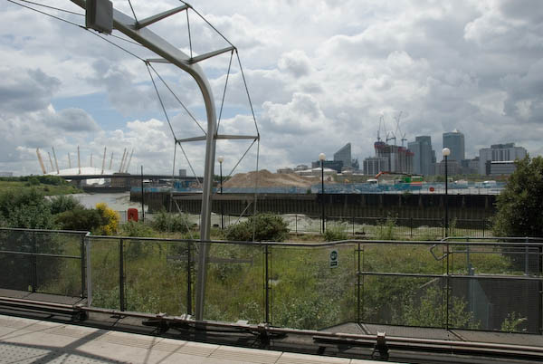
From the Train: Silvertown Way
Look through the windows on the left side of the train. You will see it passes the entrance and ventilation towers for the Jubilee Line tunnel under the Thames to North Greenwich. Beyond this, it runs alongside the largely derelict buildings behind Silvertown Way, before going under this to Victoria Dock Station.
Silvertown Way was the first flyover to be built in Britain, and was completed in 1934. It was followed in 1935 by the Silvertown Bypass, another similar concrete structure, distinguished by a fine bowstring bridge. Unfortunately this was demolished in the 1990s.

The increasing use of road transport was already leading to impressive congestion in the area around the Royal Docks, and these developments were necessary to keep the traffic moving.
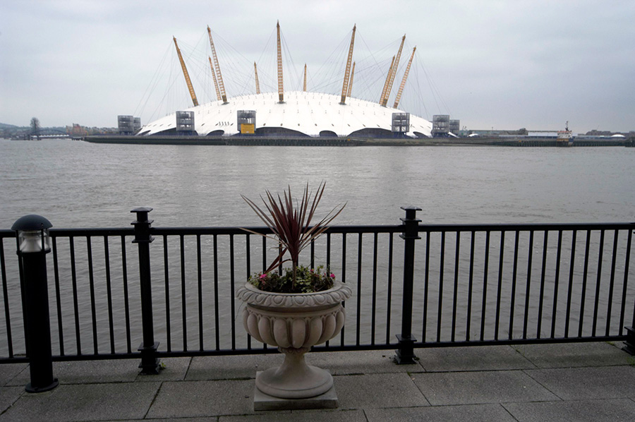
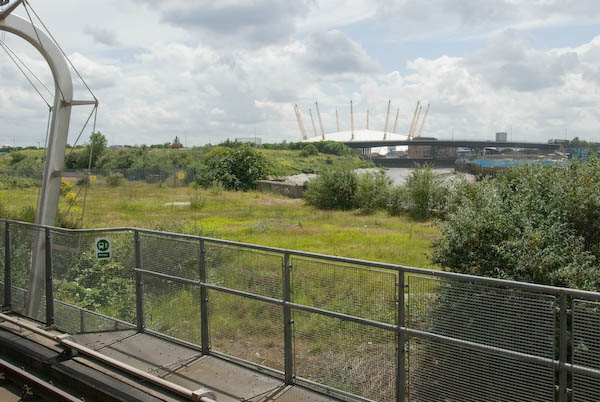
[Construction of the London Cable Car began here in 2011 and it opened in 2012. Worth a ride as a tourist attraction it makes no significant contribution to travel in the area. The Crystal, completed in 2012, was commissioned by Siemens and designed by WilkinsonEyre as an exhibition centre and a think tank and since 2022 has been London’s City Hall.]
I’ll post Part 5 Custom House and Canning Town later, again with a few more pictures and comments. You can see the whole walk still on the former London Art Café web site.
Flickr – Facebook – My London Diary – Hull Photos – Lea Valley – Paris
London’s Industrial Heritage – London Photos
All photographs on this page are copyright © Peter Marshall.
Contact me to buy prints or licence to reproduce.