2 Thames Ironworks
The walk starts at the top of the stairs leading up from the Station to the Bus Station. Here there is a memorial to the Thames Ironworks.
C J Mare’s shipbuilding firm did not prosper and was soon bought out by the Thames Ironworks and Shipbuilding Company, whose works soon occupied most of the Essex shore of Bow Creek as well as areas close to the Thames on the Middlesex side. Over the years it built at least 650 ships (some sources say 900) as well as bridges and other iron structures.
Frank Hills
Its greatest fame came under the ownership of Frank Hills who bought the Thames Ironworks and Shipbuilding Company in 1880, when it was struggling to retain employment for its 6,000 men in face of competition from larger yards on the Clyde, Tyne and Mersey.
Hills, educated at Harrow was a Christian, a fine sportsman, English champion in the mile and 3 miles, an Oxford football blue, and played for England when they beat Scotland 5-4 in 1879. He was also the first President of the London Vegetarian Society (1888) and the Vegetarian Cycling and Athletic Club, and also served as President of a London Vegetarian Rambling Club. He also founded The Vegetarian, an independent magazine, and founded the Vegetarian Federal Union (1889), becoming President. He was also a member of the Temperance (total abstinence) union.
As an employer he was described as an “enlightened patriarch” who cared deeply for the welfare of his workers. For some years he lived among them in a small house in the East India Dock Road. Despite this, relations at work were not always good, especially when he engaged non-union workers, and some of the workforce went out on strike at the time of the dock strike of 1889.
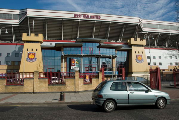
Hills was one of the first employers to set up a bonus scheme – in 1892 – and he voluntarily introduced an eight-hour day in 1894 at a time when many employers demanded 10 or 12 hour days. He tried to get his workers to “sign the pledge” and take healthy exercise – and set up clubs of all kinds to keep them out of the pubs. These included a temperance league, cycling club, cricket club, an amateur operatic society and a brass band as well as a football club, the Thames Ironworks Football Team set up in 1895. In 1900, Hills put up the money to fund a merger with another local side, the Old Castle Swifts, and they became West Ham Football Club. The nickname the Hammers comes from the tools they used in building ships.

The Albion Disaster
Disaster struck at the Ironworks in 1898 at the launch of HMS Albion. The Duchess of York (later Queen Mary) tried 3 times to break the champagne bottle on the steel hull, but it just bounced off. Despite this bad omen, the launch went ahead. The 12,950 tons batleship, then the largest of the ship ever built on Bow Creek and the wave it created as it slipped into the water smashed a temporary jetty between it and a ship under construction for the Japanese navy.
A huge crowd had turned up to watch the launch, and a large number had managed to get onto this jetty (which hadn’t been intended for such use.) 26 people were awarded Royal Humane Society Broze Medals for their attempts to save those in the water, but despite their bravery, 38 were killed. Hills was devastated. He personally visited the families of the bereaved and paid the funeral expenses, as well as contributing generously to the West Ham Council fund for the survivors.
In 1911, the Ironworks built the Thunderer, at 22,500 tons the Navy’s largest dreadnought and the last great ship (and the largest) to be built on the Thames. It was an order that broke the yard. Hills, his health gravely effected by the Albion disaster in 1891, had a stroke shortly before its launch. The company closed at the end of the year, but Hills lived on until 1927, dying a few days short of his 70th birthday.
Flat-pack Steamers
Should you visit Lake Titicaca in Peru, (The Sacred Lake and legendary birthplace of the Incas), you can see the steamship Yavari, now the only ‘working’ single-screw iron passenger ship in the world.
Ordered from Boulton & Watt in Birmingham by the Peruvian government as one of a pair of cargo-passenger ‘gunboats’, her iron hull (and that of her sister ship) was built in Bow Creek, in numbered pieces, none weighing more than 3.5 cwt, the heaviest that a mule could carry. The two ships were completely fitted out here, then carefully stripped down, numbered and colour-coded and crated for transit.
In 1862, they travelled on a ship around the Horn accompanied by 8 British engineers to Ordered from Boulton & Watt in Birmingham by the Peruvian government as one of a pair of cargo-passenger ‘gunboats’, her iron hull (and that of her sister ship) was built in Bow Creek, in numbered pieces, none weighing more than 3.5 cwt, the heaviest that a mule could carry. The two ships were completely fitted out here, then carefully stripped down, numbered and crated for transit. In 1862, they travelled by sea around the Horn accompanied by 8 British engineers to Arica, Peru, where the railway (the oldest in South America) took them the first 37 miles of the journey. The remaining 190 miles were to be by mule, and over mountain passes higher than anything in Europe up to the lake at 12, 500 ft, across the driest desert in the world. Meanwhile the engineers went ahead to build a jetty and machine shop on the lake. It took over 7 years for all the parts to arrive, and the Peruvian Navy in the meanwhile helped itself to the guns, which never made it.
Eventually the rest was there and the first ship, the Yavari was launched on Christmas day 1870. There was still a problem. There was no coal at Titicaca for the steam engines; the only fuel available was dried llama dung, and a simple journey along the 100 mile lake and back took 1,400 sacks. Its perhaps not surprising that the steam engine was replaced by a diesel in 1914. The ship continued in regular service until the 1950s. It was rediscovered in 1982, and found to be in excellent condition, thanks to the clean fresh water and high altitude of the lake, and is now preserved by a Peruvian charity.
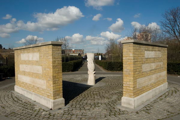
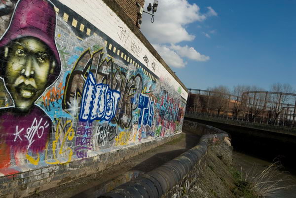
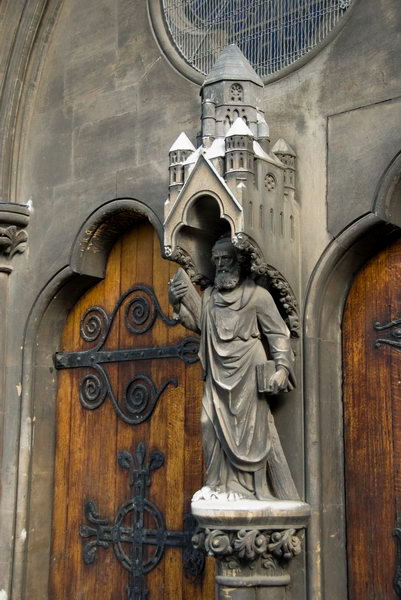
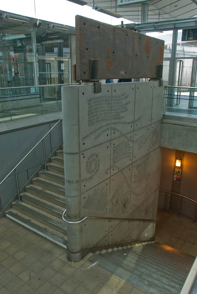
The Memorial
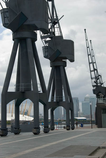
At the top of the stairs leading down to the station barriers at Canning Town is a memorial to the Thames Ironworks by Richard Kindersley, unveiled by the Archbishop of Canterbury in 1998. The large cast iron plate across its top is from the first iron Royal Navy vessel with a full iron hull, HMS Warrior, built around a quarter of a mile south of her by the Thames Ironworks and Shipbuilding Company in 1860.
The Warrior had 3 masts, two funnels and a screw propeller. When under fire, wooden ships splintered terribly and it was flying wood splinters that resulted in most injuries and deaths, and the use of iron cut this down. Other navies soon followed the example. The ship is restored and can be seen at Portsmouth.
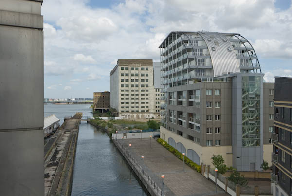
The elegant engraving on the stonework in the middle of the stairway tells some of the story of the company. You can see a part of the company site (now empty) from the station platform.
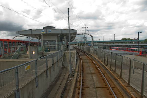
3: Canning Town Transport Interchange
From Thames Ironworks memorial, look through the large glass windows towards the station, with its two level platforms. Walk along to see the bus station (which includes toilets) before taking the escalator down into to the bottom level of the station.
Canning Town DLR and Jubilee Line stations. Bus is in Bus Station
One of the better aspects of the LDDC, responsible for development from 1981-98 was the creation of the DLR and some other aspects of transport infrastructure. Widely derided as a ‘toy train’, the DLR has demonstrated the use of light railway technology.
The new Canning Town station replaced one to the north of the A13 on the North London Line, and opened as a DLR and Silverlink station in 1994, to close after a few months for a couple of years for the building of the Jubilee line. The station reopened – together with the adjoining bus station – in 1999.
North London Line services stopped in December 2006 in preparation for the DLR extension to Stratford International. The station has three levels; at the bottom is the booking hall and barriers, above that are the Jubilee line platforms, with the former NLL platforms at the same level to the east. The DLR lines and platforms are above those of the Jubilee Line.
This is perhaps the best example, indeed one of very few examples of an integrated transport interchange in London.
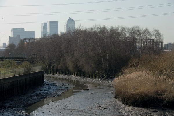
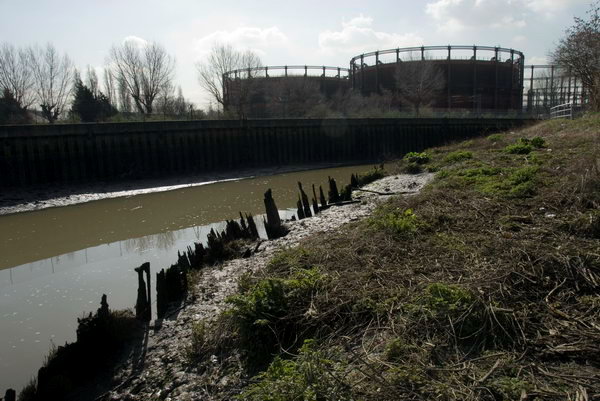
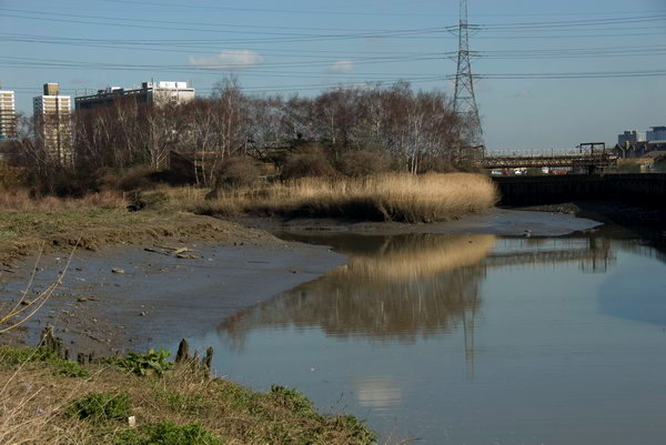
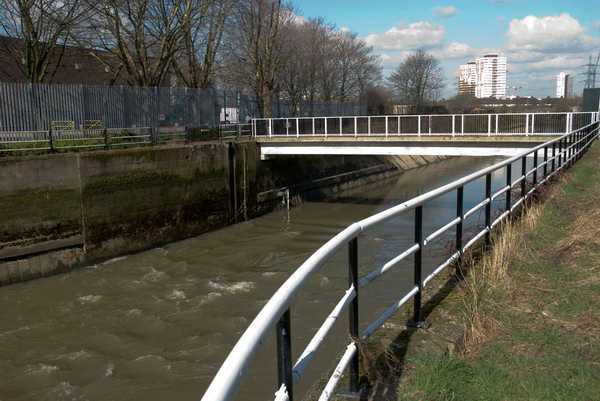
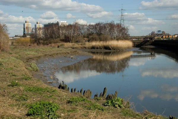
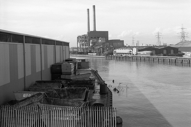
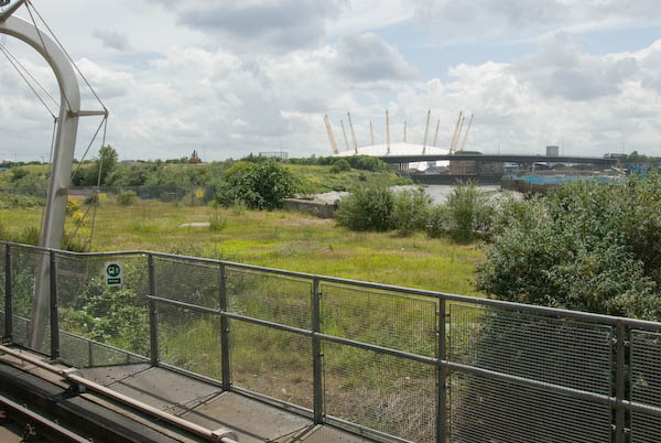
Bow Creek Walkway
As you walk past the ticket machines and office, in front you will see the exit from the station to the Bow Creek Walkway, completed in the 1990s, but still not open to the public.
Newham has at least one other example of an expensively constructed foot path in a similar limbo. In this case the reason is said to be that the various parties involved, which include Tower Hamlets and Newham have been unable to reach an agreement about the ownership and liabilities involved.
Flickr – Facebook – My London Diary – Hull Photos – Lea Valley – Paris
London’s Industrial Heritage – London Photos
All photographs on this page are copyright © Peter Marshall.
Contact me to buy prints or licence to reproduce.