In March 1994 I spent some time photographing in the London Borough of Enfield, and going a little beyond its borders into Waltham Cross. Mostly I was taking black and white pictures – some of which you can see on Flickr in the album 1994 London Photos – but I did also take some in colour, including a few colour panormas.

Mollison Avenue in Brimsdown is a busy road running roughly parallel to and between a railway line and the Lea Navigation with the area between these crammed with industrial and commercial sites. Now much of it is occupied by delivery centres and I think there are rather more fences than in 1994.
This was a picture largely about shapes and as with many olds getting the colours to look natural is a problem – as you can see particulary in the foliage here.

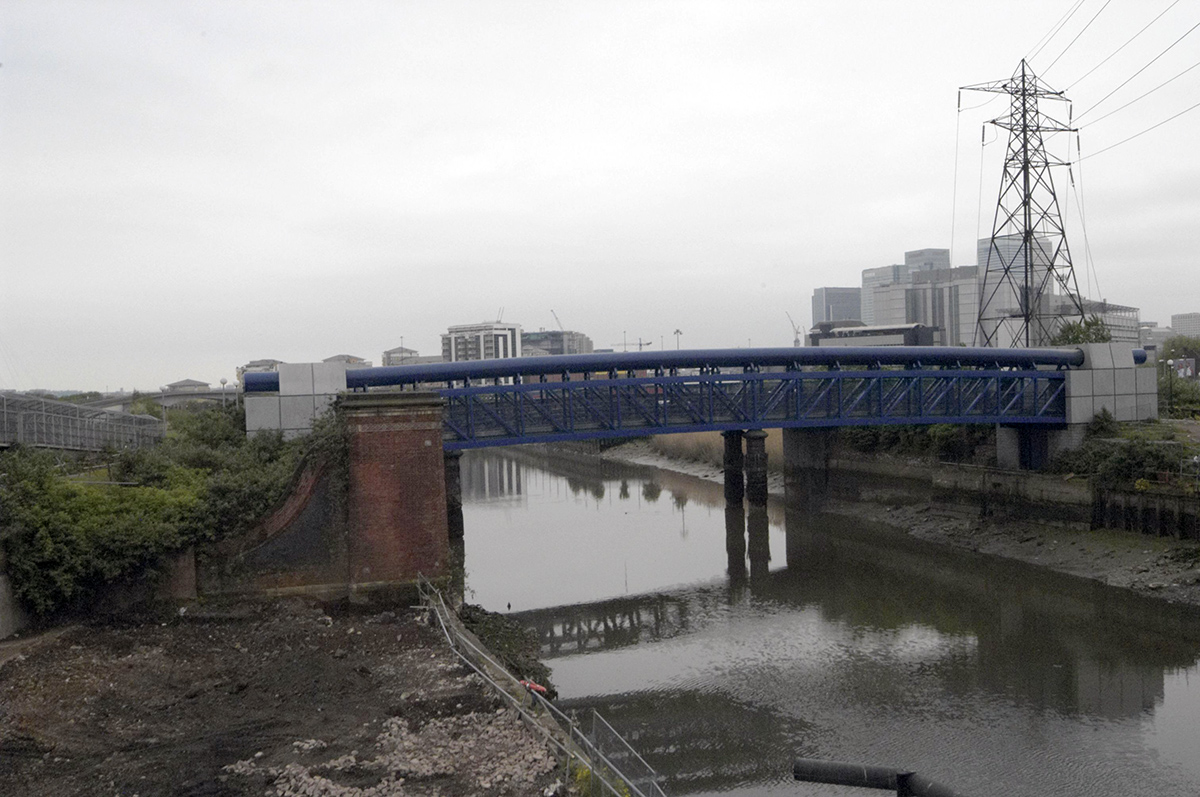
The colour is rather better in this image of a large pipe bridge, possibly carrying gas, over the navigation. The view here looks rather rural, but as usual there is a line of tall pilons.
Here I made use of the curvature from the swing-lens camera – as well as the obvious pipe there is a second interlocking curve with the bridge, the grass bank and the towpath.

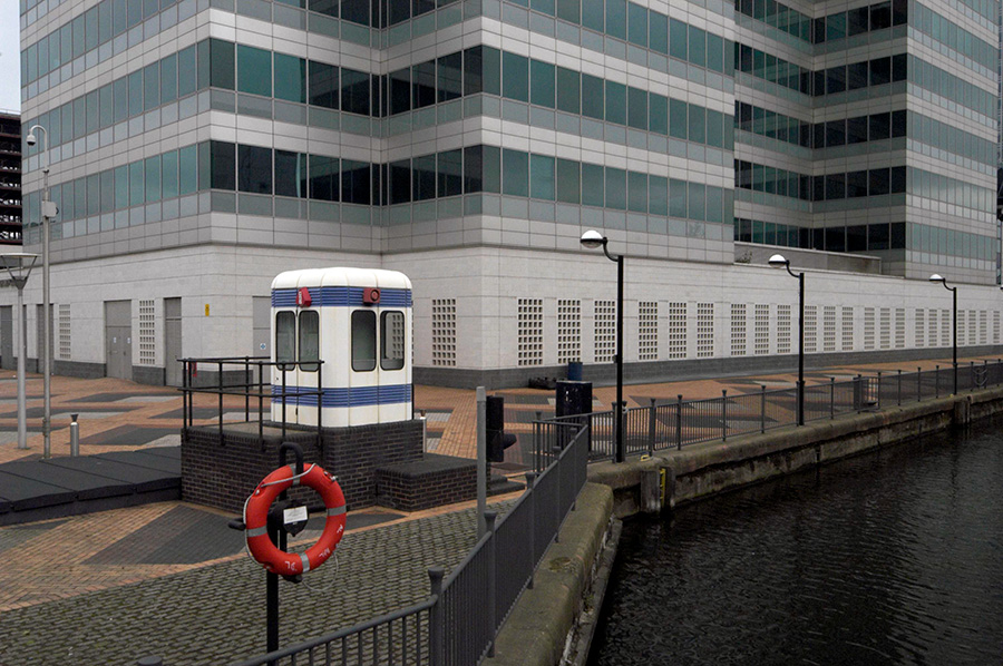
Columbia Wharf was now a wharf in name only, with lorries now delivering carpets. This is now a part of ‘Ponders End Waterfront’. I think this picture was taken from Wharf Road.

Enfield Wash is close to Enfield Lock station which I used several times to walk around the area. I have a small suspicion that this launderette may really have been in an area that locals would call Enfield Lock, but I decided given the subject that Enfield Wash was more appropriate.

I still can’t decide whether I preferred the landscape or portrait version of this launderette interior – taken through the window when it was closed.

From Enfield Lock Station a short walk took me to the Lee Navigation towpath which is also the Lea Valley Walk and a couple of kilometres north uder the M25 I was out of Greater London and in Waltham Cross. At right is the Eleanor Cross, one of twelve built to the orders of King Edward I to mark the overnight resting places of his wife Eleanor of Castile who died near Lincoln in 1290 as her body was en route to Westminster Abbey.
Much restored it now sits in the pedestrianised shopping centre, one of only 3 surviving Eleanor Crosses. The one in front of Charing Cross Station is a Victorian 1865 recreation.
More from Enfield in a later post.
Flickr – Facebook – My London Diary – Hull Photos – Lea Valley – Paris
London’s Industrial Heritage – London Photos
All photographs on this page are copyright © Peter Marshall.
Contact me to buy prints or licence to reproduce.