Limehouse, Poplar, Blackwall and East India Panoramas: In June 1994 I took a walk east from Limehouse, making a new series of panoramic images as well as taking some more normal photographs. I think these images were taken on a couple of different walks, but here I’ll present them in a roughly geographical order, going east from Limehouse Basin to East India Dock Basin station and largely following the Docklands Light Railway.

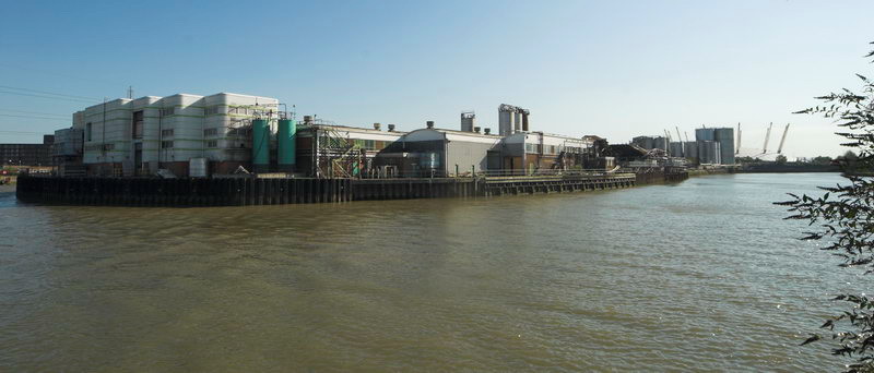
Limehouse Dock in 1994 was not surrounded by flats and there was a clear view from the the council flats – John Scurr House – on the corner of Ratcliffe Lane and Branch Road – which you can see at the right.
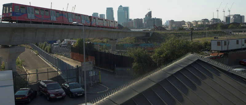
And in 1994, as in many such blocks, there was little or no entrance security so I could simply walk in and up the stairs to take pictures such as this. The DLR viaduct runs from the left side to St Anne’s Church and the marina is almost empty, while Canary Wharf Tower in the distance is twice the height of the buildings around it, but now is surrounded by other tall towers.

The bridge that leads across Aspen Way from the West India Docks to Poplar DLR station at the extreme right of the picture. At left you can see the DLR line from West India Quay which crosses the road in a blue bridge to join the line from Limehouse.
This picture made a rather nice album cover for the 1998 album The Limehouse Link by Mucho Macho, particularly impressive on the 12″ vinyl where it is carried across both front and back – reproduced at 24 by 12 inches, considerably larger than the CD version.
As Darryl Sterdan’s 1999 review stated “No vocals are no problem for the British DJs on their auspicious debut release” and despite its cover it made little impact.

I’d taken photographs in earlier years around the building of the Beckton extension of the DLR and the Limehouse Link tunnel and both had caused major changes in the area. Among which was this rather convoluted footpath leading under the road and DLR south from Blackwall Station.

Parts of the Grade II listed inscription on the Northern portal of the Blackwall tunnel, built in 1897 are hard to read in my picture, so here it is in full: ‘THIS TUNNEL CONSTRUCTED BY THE LONDON COUNTY COUNCIL WAS OPENED BY/ HRH THE PRINCE OF WALES K.C. ON BEHALF OF HER MAJESTY QUEEN VICTORIA ON 22nd MAY 1897 IN THE 60th YEAR OF HER REIGN/ SIR ALEX R. BINNIE ENGINEER’
I had to wait some time back in 1994 for a train to pass across on the DLR. Services now are usually more frequent.

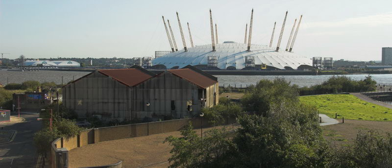
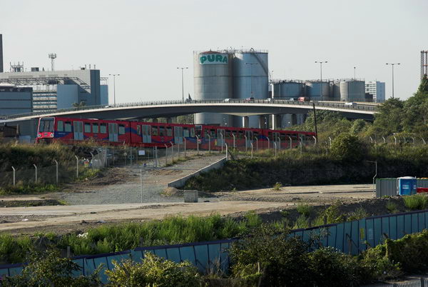
I wandered rather a long time around East India Dock station, using the bridge across Aspen Way to photograph on both sides of the road. Here I photographed the station across an area of water which has been created in a part of the area formerly occupied by the East India Dock (Import), though I think nothing original remains. So probably I should caption this ‘water feature’ rather than ‘dock’.

Framed at the centre of this image are two towers, Canary Wharf and the much closer tower in Naval Row of the mid 19th century Italianate East India Dock Pumping Station, Grade II listed and one of the few relics of that dock, along with some listed walls and steps and the areas of water. The two towers are a similar shape but actually very different in size and detail.
More pictures from these June walks later.
Flickr – Facebook – My London Diary – Hull Photos – Lea Valley – Paris
London’s Industrial Heritage – London Photos
All photographs on this page are copyright © Peter Marshall.
Contact me to buy prints or licence to reproduce.