Brexit, Fair Tips & Deported Cleaners: On Tuesday 12 June 2018 after photographing the Stand of Defiance European Movement continuing protest outside Parliament I went on to a protest at the Business ministry calling for restaurant staff to receive all of the tips that clients add to their bills. Finally I went to SOAS where a rally was taking place on the 9th anniversary of the management conspiring with the Border Agency in a despicable anti-union move to deport nine of the cleaners who worked there.
Stop Brexit ‘Pies Not Lies’
Old Palace Yard, Westminster

Steven Bray’s Stand of Defiance European Movement, SODEM, were continuing their protests outside Parliament every day it was in session.

This protest was a part of their ‘Pies Not Lies Remainathon‘ and was taking place as parliament were debating the European Union (Withdrawal) Bill.
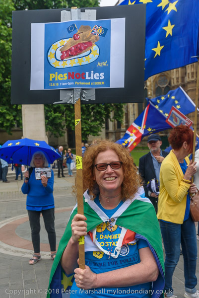
They continue to point out that he public was misled by deliberate lies and say that Brexit does not reflect the will of the people as few if any of the 52% actually voted for the kind of hard Brexit that the government is pursuing.
Unite TGI Fridays demand Fair Tips & Fair Pay
Dept of Business etc, Victoria St
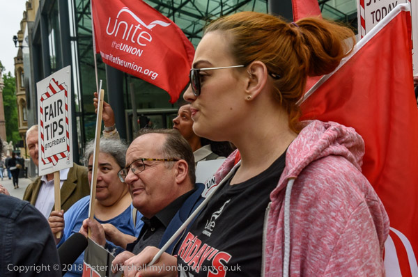
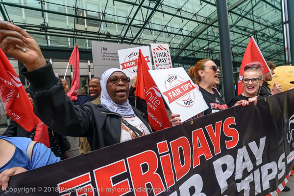
Striking Unite members from TGI Fridays along with others from the Unite Restaurant, Catering and Bar Workers Branch and Unite Community came to the Department of Business, Energy & Industrial Strategy to protest against restaurant owners taking part of the tips that customers give to staff on their credit cards.
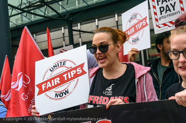
The workers say TGI Fridays use the tips to drive down the pay of staff in kitchens, and demand to keep the tips they have earned and for proper pay for all restaurant staff.
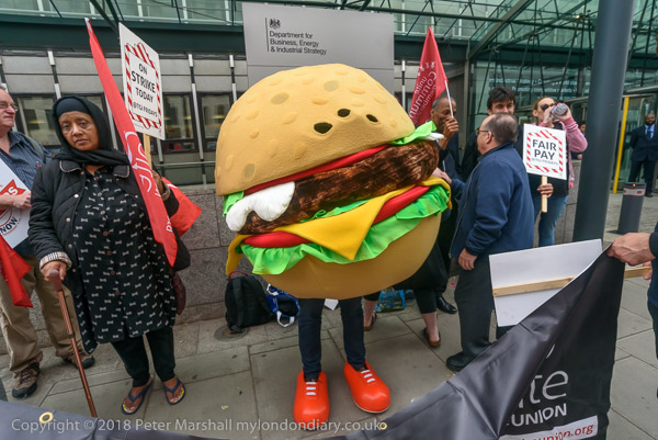
One of the protesters was dressed as a giant burger. After half an hour of noisy protest, a deputation tried to go in to deliver a letter to business secretary Greg Clark, but were stopped at the door, where their letter was taken with a promise it would be delivered to him.
Two years earlier then then Business minister Sajid Javid had promised to take action to end this malpractice but had done nothing. Five years later The Employment (Allocation of Tips) Act 2023 made it law that all tips should go to the workers and a code of practice for this was issued in July 2024.
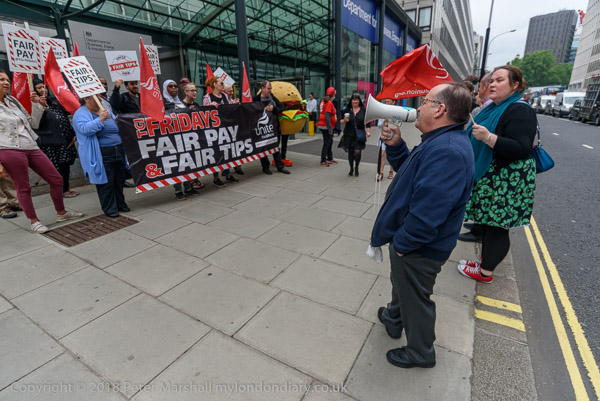
I left as the protest at the ministry was ending and the group were going on to protest outside branches of TGI Fridays.
TGI Fridays demand Fair Tips & Fair Pay
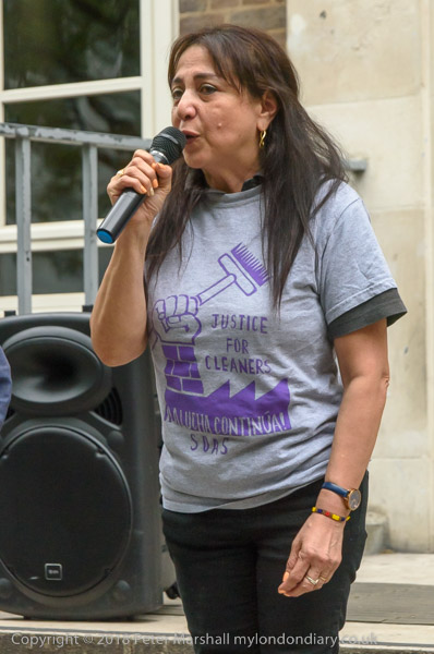
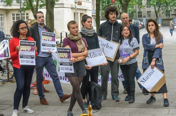
‘SOAS 9’ deported cleaners remembered
SOAS University of London
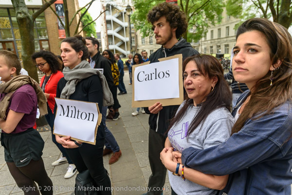
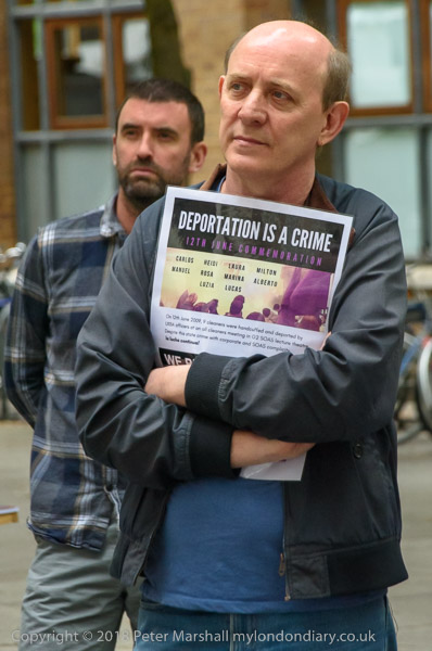
On 12th June 2009, after the cleaners at SOAS had begun to campaign for the London Living Wage, SOAS managers called them to an ’emergency meeting’ at 6:30am.
A few minutes after the start of the ‘meeting’, agents of the UK Border Agency rushed in, handcuffed all the cleaners and held them for questioning. Nine were then deported.
The was part of the despicable ‘hostile environment’ for migrant workers, begun by the Labour government, but severely ratcheted up by Theresa May as Home Secretary.
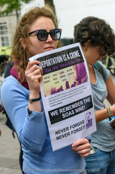
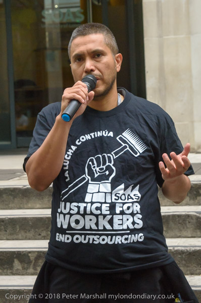
People stood at the rally in front of SOAS holding the names of the 9 deported cleaners – Alberto, Carlos, Heidy, Laura, Lucia, Manuel, Marina, Milton and Rosa – while people told the story of that grim day and about the long fight by cleaners to get a Living Wage, decent conditions of service and to be treated with dignity and respect.
In 2018 that ten year ‘one workplace, one workforce’ struggle to bring the cleaners ‘in house’, directly employed by the university, had just been won in principle and negotiations were continuing on its implementation.
After the rally there was to be a showing of the documentary film ‘Limpiadores’ about the SOAS cleaners and the Borders Agency raid with a panel discussion, but I couldn’t stay. I don’t think the film is still available.
‘SOAS 9’ deported cleaners remembered
Flickr – Facebook – My London Diary – Hull Photos – Lea Valley – Paris
London’s Industrial Heritage – London Photos
All photographs on this page are copyright © Peter Marshall.
Contact me to buy prints or licence to reproduce.