Darent Valley Path & Thames – 2015

Darent Valley Path & Thames: The route we took on Saturday 4th July 2015 was new to my wife and son, but one I’d taken quite a few times before, both on foot and on my Brompton, but this time I left the bike behind and walked with them.
Darent Valley Path & Thames - 2015
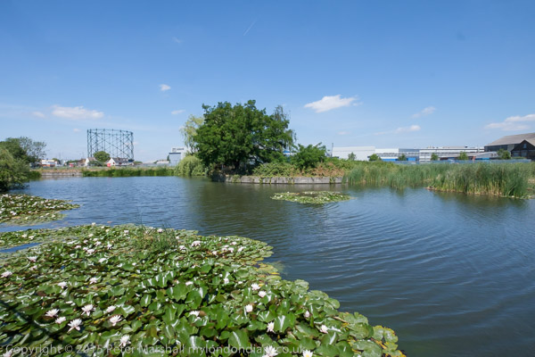
From Mill Pond Road, Dartford

Or rather more or less with them, as I often stopped or walked a few yards to one side or other to take pictures, and then had to scurry after them to catch up. Walking with a camera is very different from walking. My son does have a camera (one of the Fuji fixed lens X100 series) but takes far fewer pictures than me – and did much less running about.) But his captions are often rather more droll than mine, and seldom constrained by the 5W’s – Who What Where When Why.
Darent Valley Path & Thames - 2015
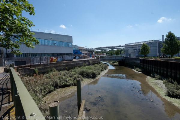
Footbridge across the Darent

It was a bad day for this walk, hot and sunny with virtually no shelter between Dartford and Greenhithe along the banks of the Darent and Thames. But I’d heard that there would be a boat sailing up Dartford Creek, a rare occasion at the time and decided it would be good to photograph it.
Darent Valley Path & Thames - 2015

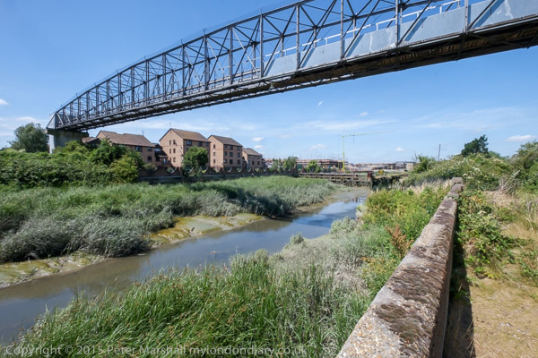
This route is now one end of the Darent Valley Path, a 19 mile path which ends at Sevenoaks, most of which I’ve walked or cycled on other occasions, and the part beside the Thames is on the England Coast Path.
Darent Valley Path & Thames - 2015
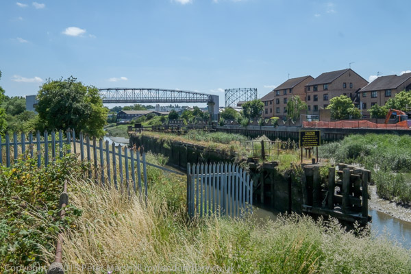
Dartford Half-Lock

The Darent used to be navigable at least up as far as Dartford, where barges brought in and took out cargoes. Close to Dartford is a half-lock which holds back water above it when the tide goes out, long out of use but now slowly being restored to bring the waterway back into regular use.
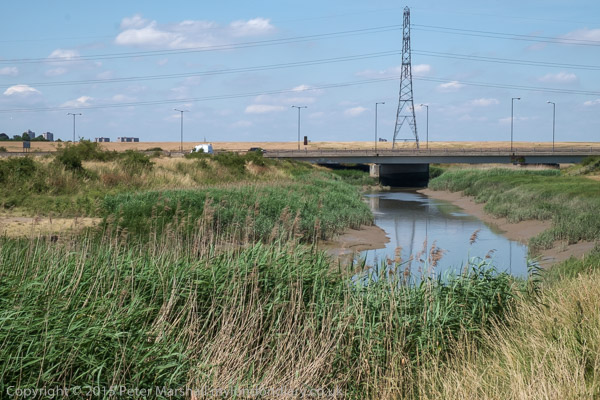
A fixed low bridge impedes navigation. This bypass was built as University Way, but the University never came so they renamed it Bob Dunn Way

There used to be a lock which craft could go through when then the tide was high enough downstream, but that was replaced by a fixed barrier. Boats can still go through in either direction close to high tide when their is enough water for them to clear the sill.
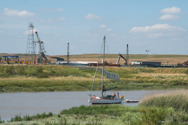
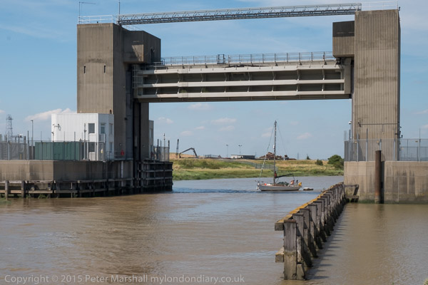
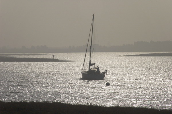
The yacht arrived later than expected and I had to run back to photograph
it coming under the flood barrier. It was too late to get under the bridge on the same tide.

As well as the Darent, barges also went up the River Cray which joins the Darent downstream from the half-lock. This too is being brought back into leisure use.

Where the Darent meets the Thames

By the river in the centre of Dartford was the industrial estate dominated by the pharmaceutical manufacturing plant of Burroughs Wellcome who took over a former paper works here in 1889. In 1995 this became Glaxo Wellcome, the largest pharmaceutical company in the world. The works was wound down from 2008 by the then owners GlaxoSmithKline with manufacturing ending in 2013. Much of the site was empty by 2015 and now has large blocks of flats.
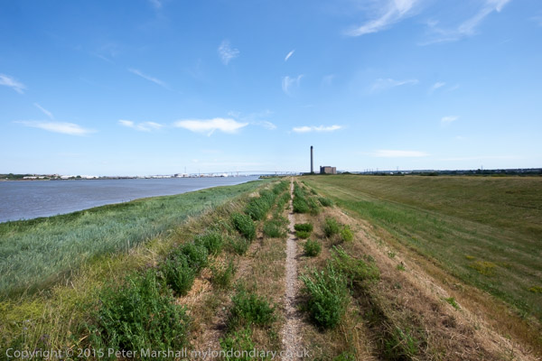
On the west side of Dartford Creek had been paper mills, but the last of these, owned by Wiggins Teape closed in 2009 and there was by 2015 housing on the site.

QEII bridge and Littlebrook Power station, River Thames, Dartford

When the third Dartford Bypass was built around 1988 barges were no longer bringing esparto grass and other raw materials for the paper works up the river and no thought was given to navigation. Boats that can lower masts or without them can creep under the road for a short time on a rising or falling tide when there is enough water to allow them to float but not high enough for the bridge to block their transit.
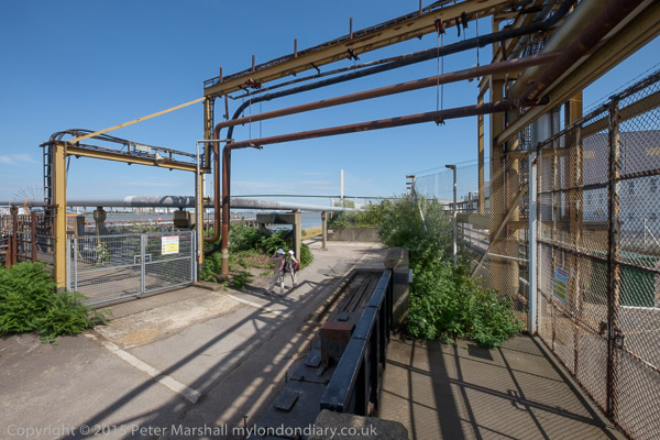
Riverside path at Littlebrook

Much of the land to the east of the creek was marshes, which made it a suitable location for the Wells fireworks factory, long closed. But I think it or an adjoining site was now in use for clay-pigeon shooting, and for much of this section of the walk we sounded under gunfire.
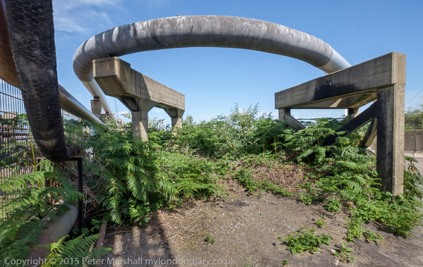
At the Littlebrook jetty

There had once been a pub, Longreach Terrace, and a ferry to Purfleet on the Thames close to the the mouth of Dartford creek, but both were long gone. It was here too that smallpox victims were brough ashore to the islolation wards of Orchard Hospital, demolished around 1975, part of the Joyce Green Hospital which was demolished around 2000.
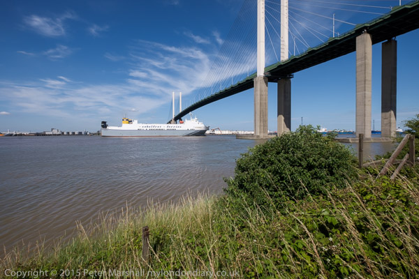
The Purfleet to Zeebruge ferry goes under the QEII bridge

Further downstream on the banks of the Thames we passed Littlebrook power station – the final plant there, Littlebrook D, had ceased operation only four months earlier – before going under the Dartford QEII bridge and past Crossways Business Park. I had meant to climb up the hill to Stone Church, but missed the footpath and ended our walk in Greenhithe. But I was too tired anyway – and had stopped taking pictures on this last part of our walk.

More at Darent Valley Path & Thames.


FlickrFacebookMy London DiaryHull PhotosLea ValleyParis
London’s Industrial HeritageLondon Photos

All photographs on this page are copyright © Peter Marshall.
Contact me to buy prints or licence to reproduce.


1995 Colour Part 4 – Around Dartford

1995 Colour Part 4 – Around Dartford: More of my panoramic images. These were taken in and around Dartford in Kent in March 1995 on a walk which took me from the centre of the town and along by the River Thames to an area close to the QEII Dartford Bridge. All these were taken on Sunday 19th March 1995. Dartford is a part of the Thames Gateway area around the Thames Estuary.

Dartford

Gasholder, Hythe St, Victoria Rd, Dartford, 1995, 95p03-531

I walked up Hythe Street and then turned right to a path that led me to a bridge across Dartford Creek.

Bridge, Dartford Creek, Nelsons Row, Dartford, 1995, 95p03-533

Dartford Creek is the tidal creek of the River Darent and was once important navigable creek to wharves in the centre of Dartford. Work has now been going on for years to restore the half-lock and make the creek navigable again. I made more panoramic images along the footpath beside the creek later in the year, but on my first visit was keen to get to the River Thames and left the Creek to walk up Joyce Green Lane and Marsh Street to the River Thames.

Littlebrook

Littlebrook Power Station, Dartford Bridge, QEII Bridge, River Thames, Dartford, 1995, 95p03-612

The first power station at Littlebrook was coal fired and opened in 1939 and was joined by a second in 1949 and a third in the 1950s with the final station Littlebrook D shown here opening in the 1980s. The earlier stations had been converted to burn oil by 1958 and were all decommisioned by 1981 when the final station began to be put into use. This continued to produce power until 2015 and was finally demolished in 2019. You can read much more detail on Wikipedia.

River Thames, Dartford Bridge, QEII Bridge, Dartford, 1995, 95p03-631

Google’s map now shows Littlebrook Beach as a ‘tourist attraction’ but I’m fairly sure I was the only person there on the day I made this picture.

Jetty, Littlebrook Power Station, Dartford Bridge, QEII Bridge, River Thames, Dartford, 1995, 95p03-643
Littlebrook Jetty, Dartford Bridge, QEII Bridge, River Thames, Dartford,  1995, 95p03-661
Littlebrook Jetty, Dartford Bridge, QEII Bridge, River Thames, Dartford, 1995, 95p03-661
National Power, River Thames, Dartford, 1995, 95p03-663

Crossways

As I walked along the path beside the river taking these and rather more black and white images I kept looking for a gate or gap in the fence betweent the riverside path and Crossways I could go through, but there was none. It was only when I got to Stone Marshes that I was able to leave the river and then walk along St Mary’s Road and into Crossways Business Park.

Warehouse, Crossways Business Park, Crossways, Dartford, 1995, 95p03-873

The area has been considerably expanded now, with a new major road to Greenhithe as well as new housing and commercial development.

Lake, Crossways Business Park, Crossways, Dartford, 1995, 95p03-733

The lake now has much new development around it, including a pub, The Wharf on Galleon Boulevard, close to where I made these pictures

Lake, Crossways Business Park, Crossways, Dartford, 1995, 95p03-721
Lake, Crossways Business Park, Crossways, Dartford, 1995, 95p03-723

I walked back into Dartford taking quite a few more black and white images but no more panoramas. The black and white pictures from this walk start here.


FlickrFacebookMy London DiaryHull PhotosLea ValleyParis
London’s Industrial HeritageLondon Photos

All photographs on this page are copyright © Peter Marshall.
Contact me to buy prints or licence to reproduce.


Thames Estuary – Benfleet, Leigh and Canvey – 2005

Thames Estuary – Benfleet, Leigh and Canvey. I’ve photographed the Thames east of London on many occasions and found much of interest, but I’ve relatively seldom ventured right out to the real Thames Estaury, though there is no real consensus where that begins as the Wikipedia entry discuses. For some purposes it includes virtually all of the river in London, the tidal Thames which begins at Teddington, and extends all the way east, at least to the Isle of Grain.

Thames Estuary - Benfleet, Leigh and Canvey

In my own own working definition I think of the estuary as meaning the river to the east of Greater London, the shores of Essex and Kent, perhaps as far as Southend to the north and Grain on the south. But by any definition this day of cycling out from Benfleet in Essex was definitely around the estuary.

Thames Estuary - Benfleet, Leigh and Canvey

Back in May 2023 I published here a piece here on the exhibition Estuary held ten years earlier to celebrate the 10th anniversary of the Museum of London Docklands in 2013 when I was delighted the show included ten of my panoramas along with work by eleven artists, some of them rather well-known. But none of the pictures in the Museum collection were taken on this ride, where I made only a few panoramas, none of which are yet on-line.

Thames Estuary - Benfleet, Leigh and Canvey

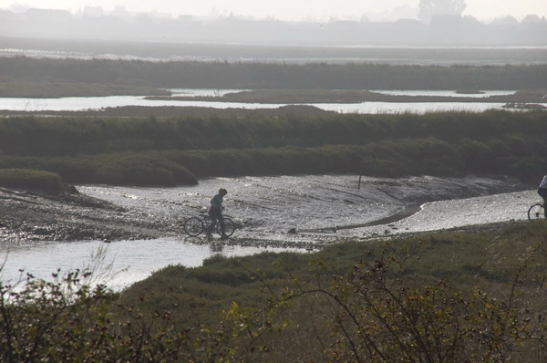
On Saturday 15 October 2005 I took my Brompton on the train to London, then on the tube to West Ham where I changed to a train to Benfleet station in South Benfleet. The road leads down from here towards Canvey Island, but a track leads off to the east just before the bridge running alongside Benfleet Creek. The public footpath I could cycle along leads all the way beside the Creek and then between Hadleigh Marshes and Two Tree Island and on to a bridge over the railway close to Leigh-on-Sea Station.

Thames Estuary - Benfleet, Leigh and Canvey

From there I had to cycle along the road, rather less pleasant as there was quite a lot of traffic and even in October quite a few people who had come to enjoy the seaside. Leigh has pubs, tea rooms, fishing boats and more, but I’d soon had enough and turned around to ride back.

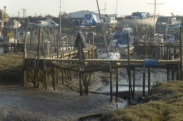
This time I took the road and bridge across to Two Tree Island. There is a crossing to the island you can take at low water but I didn’t take my bike across although I saw others doing so. There are rather more than two trees, but only one road, though with several car parks and it ends at a jetty where I could look across Hadleigh Ray to Canvey Island but go no further.

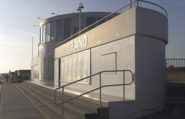
I turned around, cycled back over the bridge and along the footpath back to the bridge to Canvey Island which I then spent some time exploring and photographing. I think I had last been here in 1982 did recognise some of the places I’d photographed back then, but also found quite a lot more to photograph. I don’t think any of those earlier images are on-line as by the time I scanned them the images had deteriorated badly.

Too soon it was time to get back on my Brompton again and ride back to Benfleet for the train back to London.

See many more pictures from my ride on My London Diary.


Stanford-le-Hope and Mucking

Stanford-le-Hope and Mucking

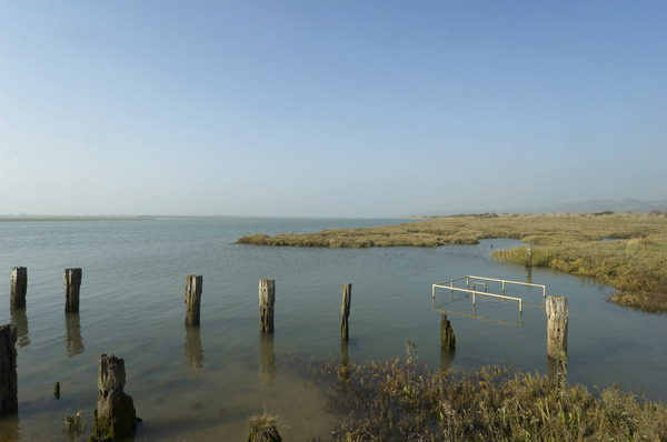
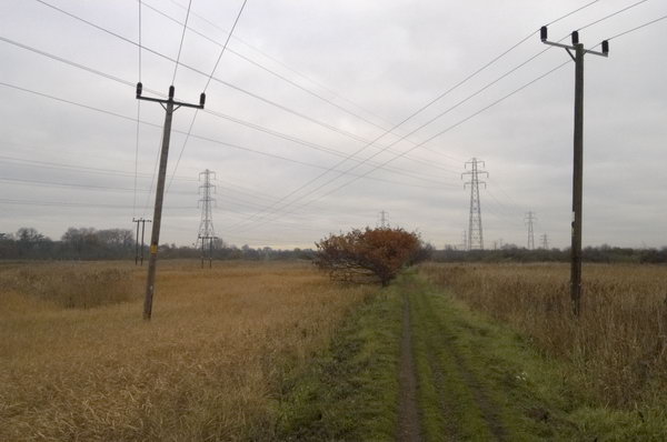
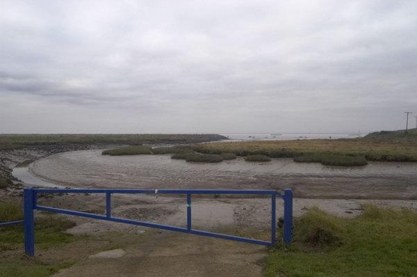
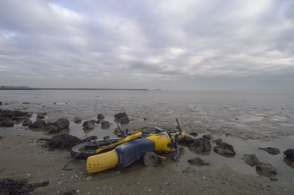
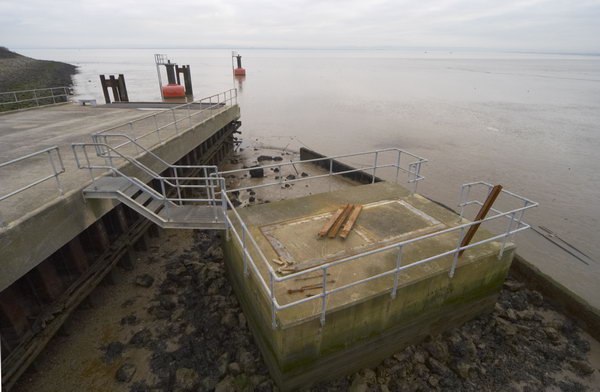
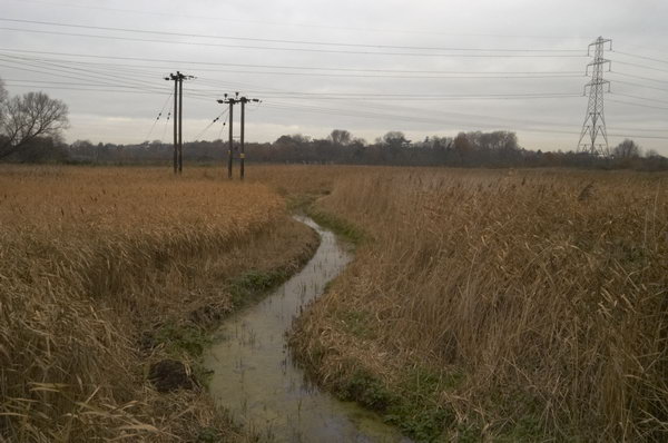
December 2004 was not a great month for weather and it shows in the pictures than I took along the Thames estuary in Essex on Saturday 4th December. But perhaps they are appropriate for the landscape although were I to go back to the RAW files I took – using the Nikon D100 and mainly the then groundbreaking Sigma 12-24mm wideangle zoom – and reprocess them with more recent conversion software they might be a little less drab.

Stanford-le-Hope and Mucking

I took my folding Brompton with me on the train, although much of the route I took was on footpaths. Bromptons are not great off-road bikes and I was probably wheeling it quite a lot of the time, but it carried the weight of my gear in its front bag and let me go quickly along some of the less interesting parts of my route.

I’m not sure if it was on this ride or on another in this part of Essex where the chain came off thanks to an excessive amount of mud and became somehow locked out of place between the frame and some other part, locking the rear wheel completely. I struggled for perhaps 10 minutes to free it without success and had almost become resigned to having to carry it some miles to the nearest station, a rather daunting prospect as together with cameras etc it was a rather unwieldy 40lbs or so.

Stanford-le-Hope and Mucking

Fortunately I was saved by a stranger who came along the path and rather stronger than me managed to pull the trapped link free – though getting his hands covered in oil and mud to do so. I was extremely grateful, thankful and rather embarrassed at the mess he was in, though handing him my oily bike rag to wipe the worst off. It’s great that some people at least will go out of they way to come to the aid of others.

As well as some of the pictures as I posted them at the time, I’ll also put on the text I wrote then on My London Diary, where you can see more pictures. I’ve edited the text slightly, mainly to restore normal capitalisation which makes it rather easier to read.

December started a drab month, with little light, but the forecast for Saturday 4th suggested the mist and cloud would clear, so I set off for Stanford-le-Hope. Single or return asked the ticket seller, I wouldn’t want to stay there I told him.

From the station I turned left and then south towards Mucking and the river. Disappointingly the church in Mucking is now a private house, and the churchyard only open by arrangement. The footpath led through a nature reserve, the largest bog of its type in England, and then turned past a large complex of unfilled gravel pits towards Mucking Creek.

Names on maps can have a fascination, and Mucking Marshes, Mucking Flats, Mucking and Mucking Creek were places I needed to see. In good light they would have been great, but on a dull grey day they lacked sparkle.

The footpath led along the riverside towards Corringham and Shell, but disappointingly the bridge across a small creek had disappeared. There was an unmarked detour along the goods line, but not the same. I returned to Stanford-le-Hope splashing through huge puddles in the rutted lane. One of its few claims to fame is as the home of writer Joseph Conrad, but the cottage in which he lived is surrounded by a high fence and there is little to see.


My London Diary – December 2004