Newham

Stratford & Silvertown: One of the shorter posts I wrote on My London Diary was about my trip to Silvertown and Stratford in East London on 21st June 2006. Here it is in full, just as I published it then:
on wednesday 21st i took the DLR to stations in silvertown, taking pictures from the train, the platforms and around the stations. then i went to stratford to make more pictures there.

I left home in mid-afternoon and began photographing from the DLR a little after 4pm. It was a fine day and I was going to join a walk around Stratford in the evening by the Greater London Industrial Archaelogy Society and had a couple of hour before I was to meet with them at Stratford Station.

It was almost a year since London had been awarded the 2012 Olympics and I had made a number of visits to the Olympic area to record it before the huge changes that were about to take place.

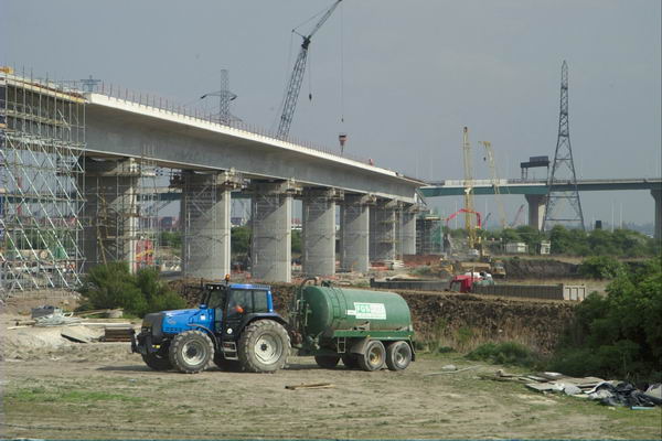
The DLR extension to King George V station in North Woolwich had opened in December 2005, but had yet made little impact on the surrounding area. Construction had already begun on its extension under the River Thames to Woolwich Arsenal which opened in January 2009.

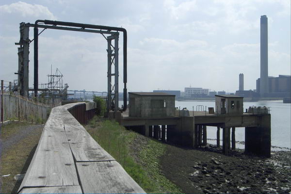
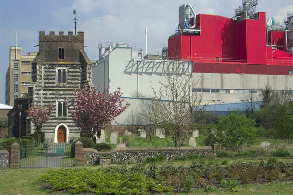
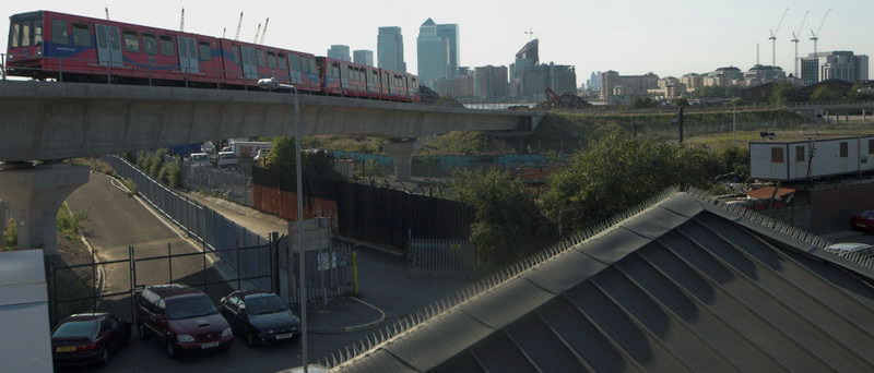
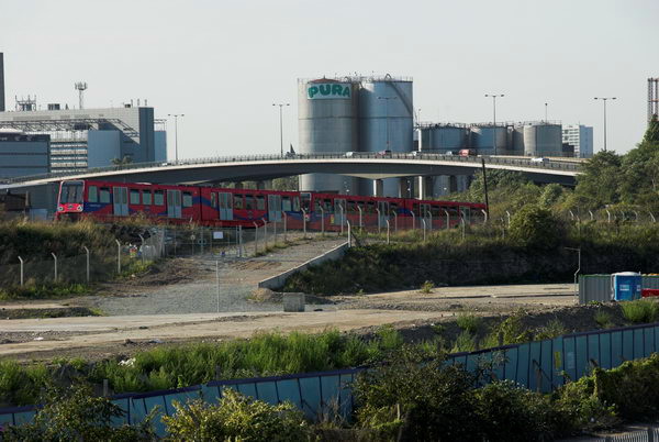
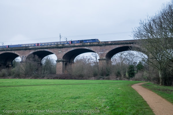
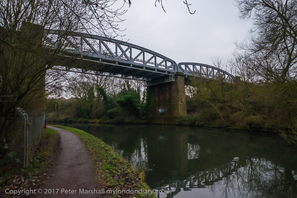
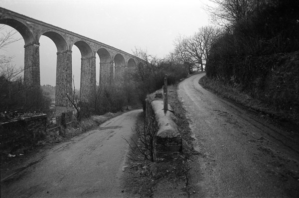
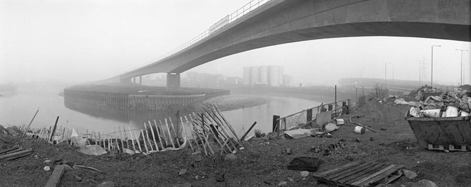
The line is largely elevated on a concrete viaduct which gives extensive views of the area. As the trains are driver-less I was able to sit at the front of the train and photograph through the front window. Then the DLR was relatively little used and at least on schooldays there was little competition for the front seats – and I think the train windows were usually cleaner.

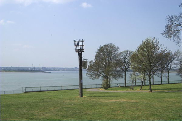
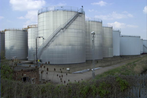
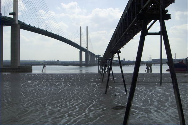
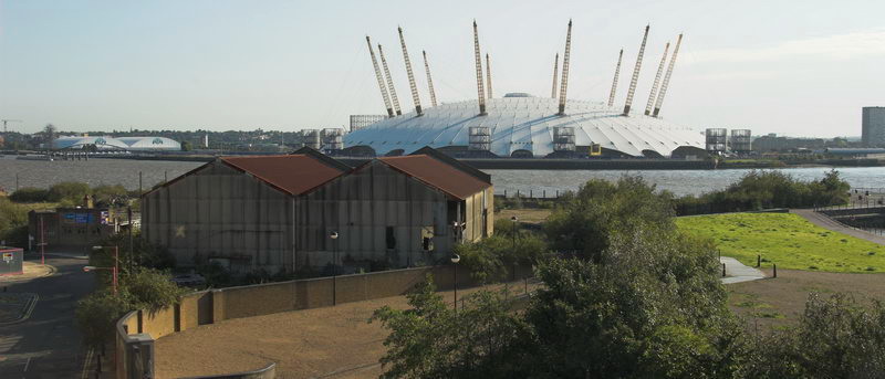
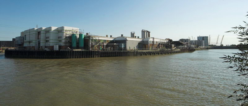
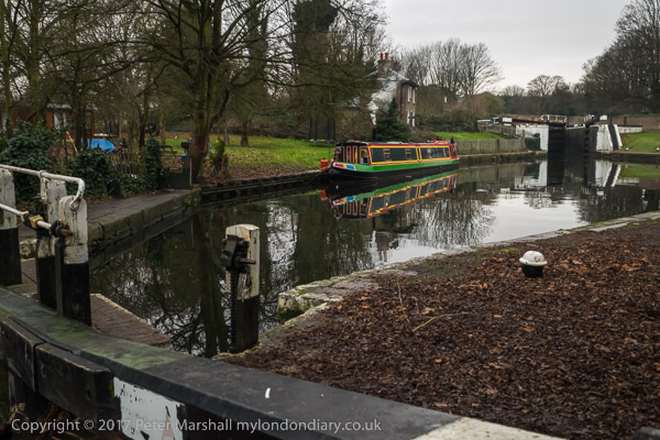
Trains on the line were then reasonably frequent so I was able to get off at various stations to walk around a little and then return to the station to continue my journey, including a visit to Lyle Park with views across the River Thames.


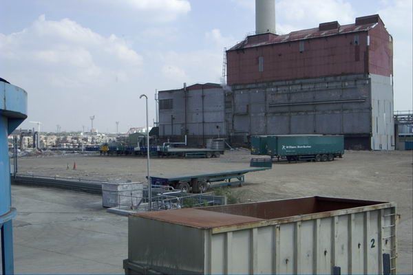
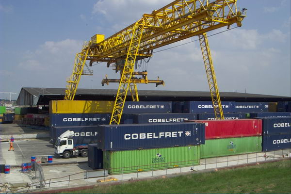
The station platforms also provide elevated viewpoints to photograph the area. I went as far as Silvertown station and then made my way back to Stratford.

Here I left the train to join the GLIAS walk around the area to the south of the Olympic site, including the Carpenters Estate, a popular council estate close to the station which Newham were then trying to empty and sell off against local opposition, Stratford High Street and the Waterworks River.


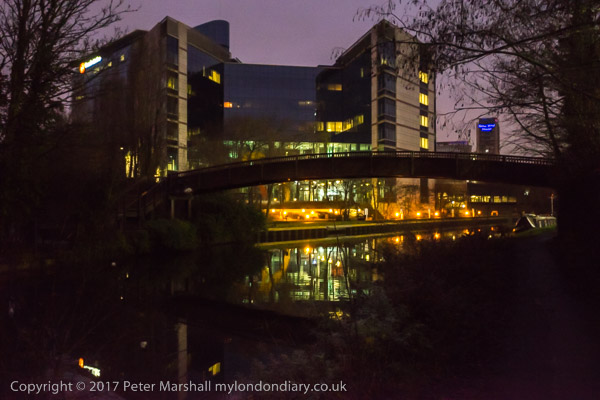
By the time this evening walk ended although it was the middle of June the light was fading, though I think this picture exaggerates this a little.
There are quite a few more pictures on My London Diary, beginning here, but I took many more that day, particularly on the evening walk. Perhaps I will post more from this here some time.
Flickr – Facebook – My London Diary – Hull Photos – Lea Valley – Paris
London’s Industrial Heritage – London Photos
All photographs on this page are copyright © Peter Marshall.
Contact me to buy prints or licence to reproduce.