More from the Golden Mile continues from where my previous post on my walk on Sunday 7th January 1990, Curry’s, Firestone, A Fountain & Kluwer – 1990, ended. This is my final post on this walk.

Just to the west of Syon Lane on the Great West Road in Isleworth is this 1933 Art Deco factory by Wallis, Gilbert and Partners built for William Burnett Chemicals. This was the furthest west of the 1930s commercial buildings on the new road and past it are residential properties in the north of Isleworth and Osterley.

The building is I think still in use by fashion clothing firm Adini. In 2023 Hounslow Council turned down a planning application to develop the site retaining and restoring this locally listed Art Deco building but with two six storey blocks containing 51 flats on the site. The developers appealed and I am not sure of the current state of the proposal.

I hadn’t finished with the ‘Golden Mile’ and turned around and walked east back into Brentford along the Great West Road. 941, the occupied by Softsel was another building by Wallis, Gilbert & Partners for cosmetics company Coty.
This building is now the private Syon Clinic.

Another grand set of steps led up to the factory of Leonard Williams Ltd, who made Packard cars here from 1929. Queensway in 1990 it now leads to DFS Brentford Sofa & Furniture Store, but only these steps remain of the previous building.

Built 1929-1930 by Wallis, Gilbert & Partners for Pyrene, makers of fire extinguishers it is Grade II listed. The main windows here had already been altered by 1990.

This grand entrance and the gate posts are perhaps the most interesting feature of the building. The building now provides tailor-made office space for companies of all sizes.

I still hadn’t quite finished with the Golden Mile, but my final pictures were a set of five pictures of the remarkable former Curry’s HQ at 991 Great West Road which featured in an earlier post – you can see them starting here on Flickr.

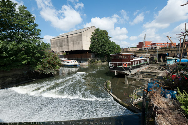
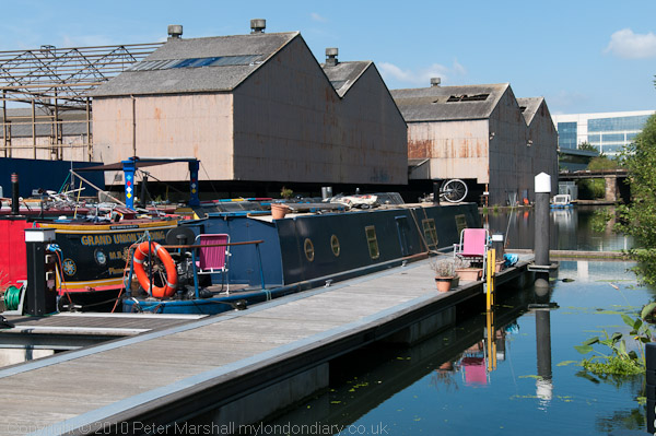
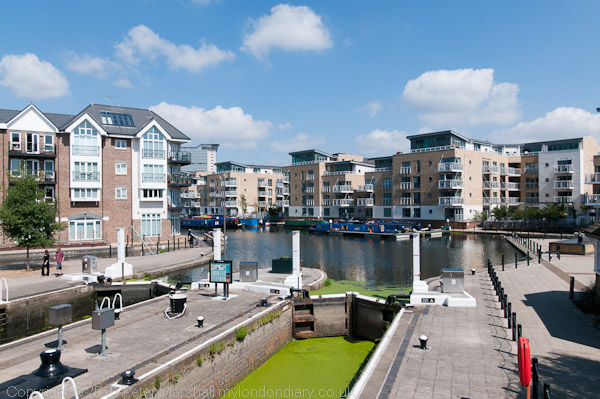
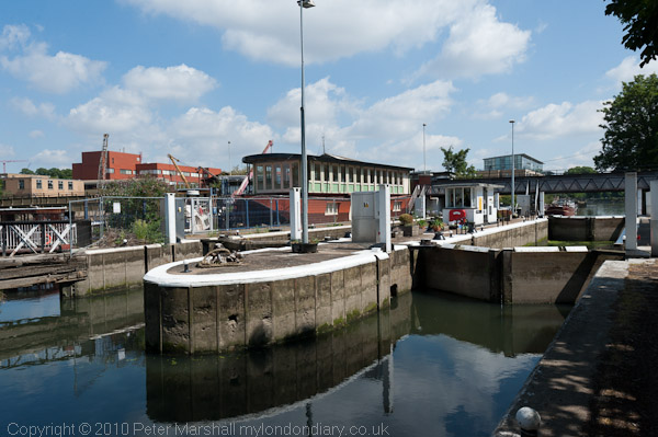
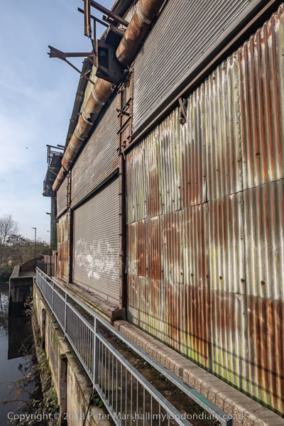
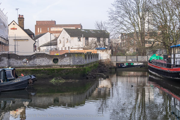
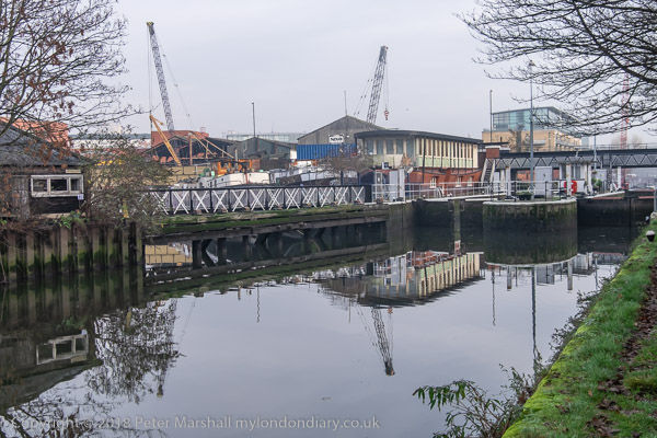
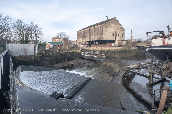
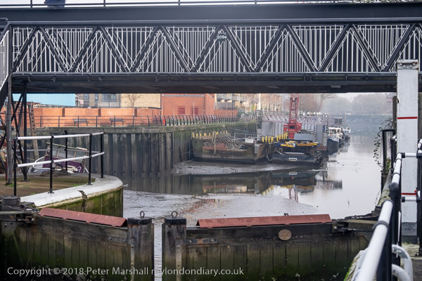
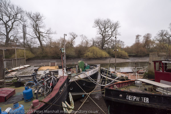
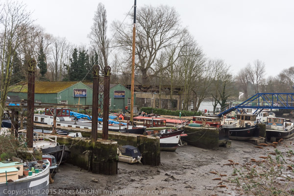
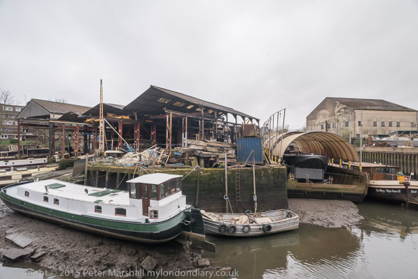
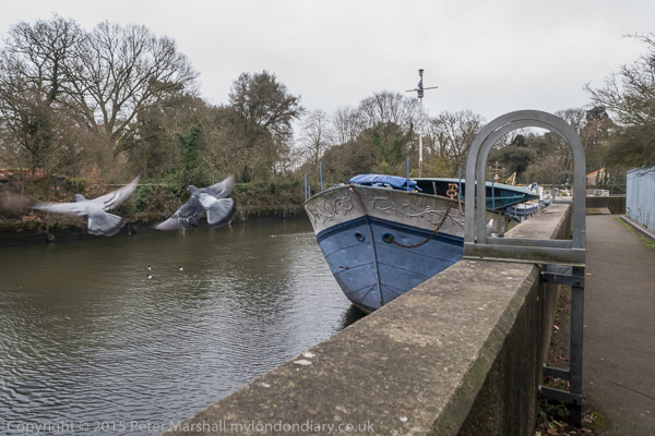
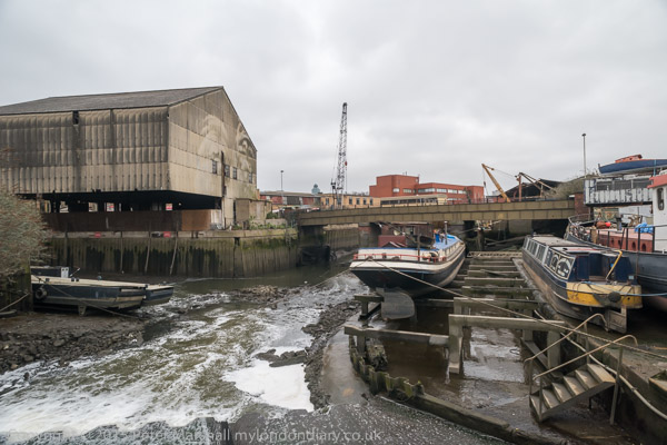
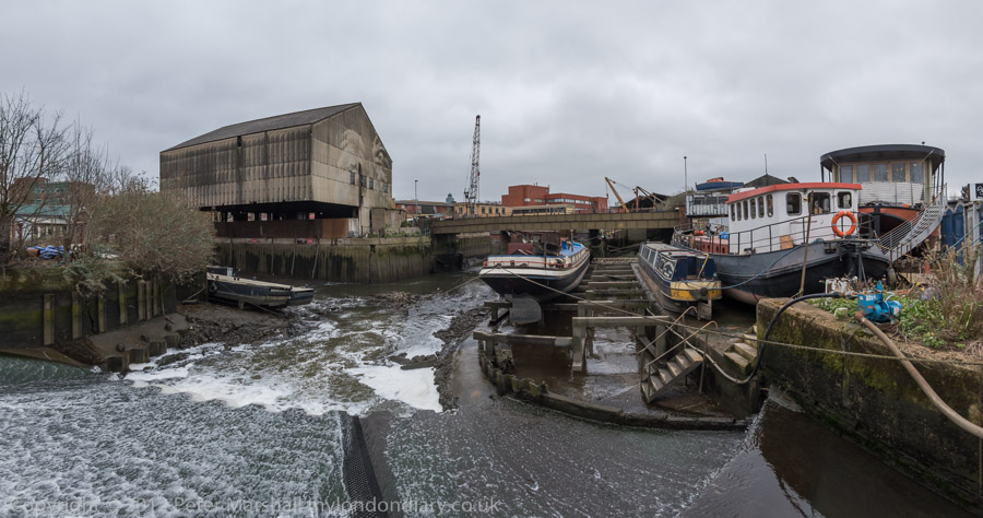
I ended my walk by with a final picture looking south from the bridge which takes the Great West Road over the here combined River Brent and the Grand Union Canal before getting away from the noise and dust of the road and walking along the canal towpath to Brentford High Street where I could catch a bus to start my journey home.
Flickr – Facebook – My London Diary – Hull Photos – Lea Valley – Paris
London’s Industrial Heritage – London Photos
All photographs on this page are copyright © Peter Marshall.
Contact me to buy prints or licence to reproduce.