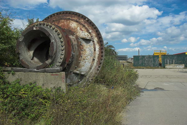
Battlebridge, Canalside and Barnsbury continues my walk which began at Kings Cross on Sunday February 11th 1990 with the post Kings Cross and Pentonville 1990.

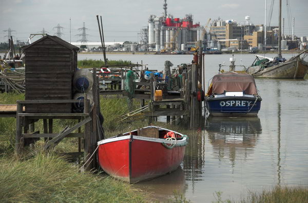
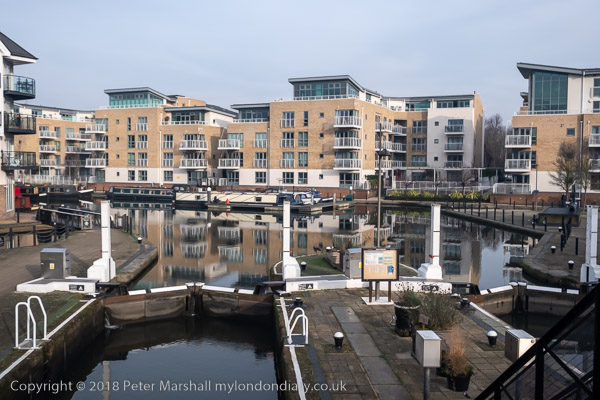
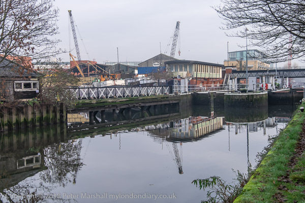
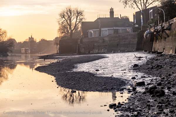
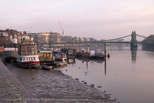
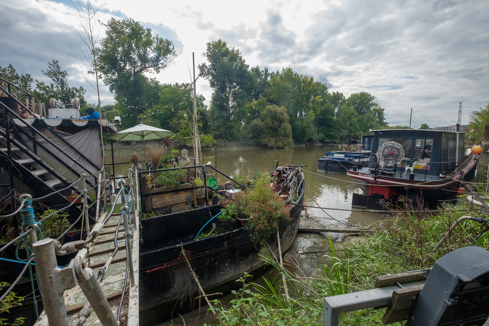
Battlebridge Basin on the Regent’s Canal was opened at the same time as the Camden Town to Limehouse stretch of the canal in 1820, though the buildings around it took a couple of years longer to complete. In 1815 the landowner William Horsefall contracted with the canal company to allow them to dump the soil extracted from the Islington Tunnel a short distance away on his land, and he used this to form the basin.
It seems odd that you should need earth to form a basin, but it was needed to raise the ground level around it as part of the 480ft by 155ft basin is above the level of the streets around. Horsefall got an Act of Parliament to fill the basin with water from the canal and by 1822 it was surrounded by industrial premises, including timber yards. Among later occupants were W J Plaistowe & Co, jam, marmalade and preserve makers, here until 1926, and at Albert Wharf on the northeast corner were Cooper & Sewell (c1847-1880) and J Mowlem & Co (c1880-1922).
The best-known building on the basin was the warehouse built around 1860 by ice-cream maker Carlo Gatti to store ice brought from Norway, which since 1992 houses the London Canal Museum. In a Key Stage 2 teaching resource on their site is an excellent plan showing the uses of the different areas around the basin in the late 19th century.
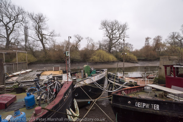
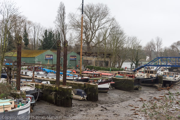
Unlike other canal basins in London this was privately owned, known first of all as Horsefall Basin, then Maiden Lane Basin before taking its current name – the old name for the Kings Cross area, which had a bridge over the River Fleet. There seems to be no agreement as to which battle this was named after but few beleive the popular legend it was fought by Boudicea. In 1978 a group of boat owners came together so set up moorings here which over the years since have developed into a substantial marina.

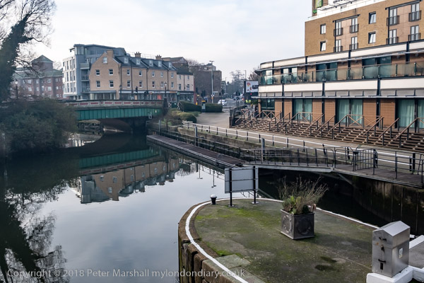
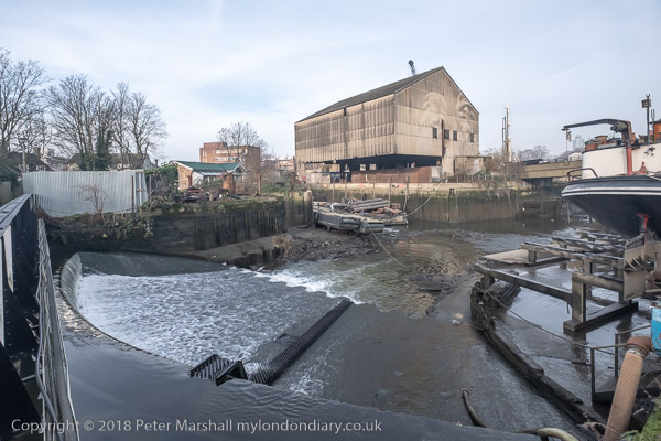
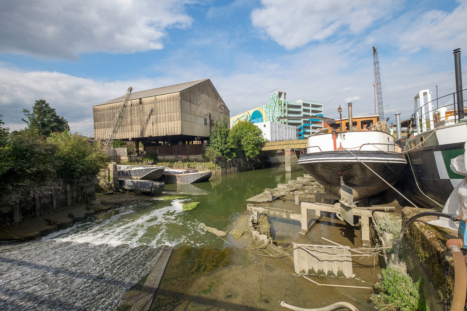
My previous post on this walk showed an overall picture of Mercantile House and gave a little of its history. In 1990 the whole site was undergoing redevelopment as you can see in pictures below. Mercantile House was retained.

I photographed Bartlett Ltd, Export Packers in 1979 from the canal towpath and wrote a little about Battlebridge Basin and Bartlett’s works then and wrote:
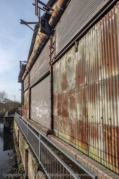
Although many of the canal-side buildings in the area have been replaced, a warehouse on the basin of Bartlett Export Packers survives in greatly altered form as Albert Dock. The works buildings in this picture, at the end of New Wharf Road, have been replaced by those of Ice Wharf, three blocks with 94 apartments in a highly regulated private development with 24 hour concierge service and a private, gated underground parking space where a 2 bed flat overlooking the canal could be yours for only £1,195,000.
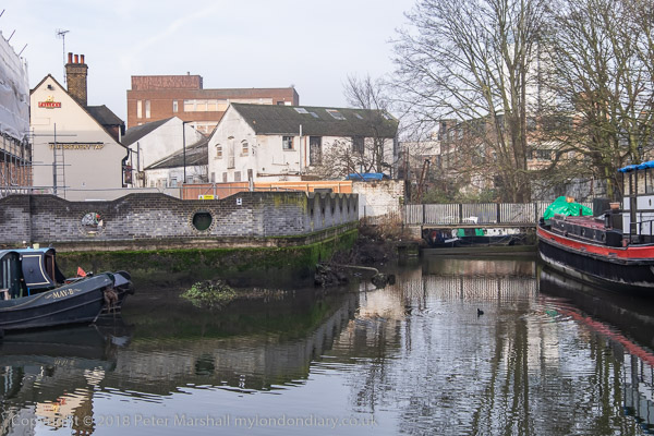
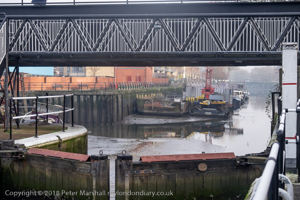
Demolition of the buildings on All Saints Street whichg meets New Wharf Road at its west end provided me this view of part of Bartletts from here.

From Thornhill Bridge on the Caledonian Road over the canal I could see the cleared development site and, in the distance St Pancras Hotel, the Post Office Tower and other buildings. At the left are the back of buildings on Caledonian Rd.

A second view west from Thornhill Bridge includes Bartlett’s water tank and canalside buildings.

I walked on north up Caledonian Road to Thornhill Crescent at the northern end of Thornhill Square, once of the well-known Barnsbury Squares, though it certainly is not square – together they are more of an oval, narrowing towards the southern end. Wikipedia calls it “an unusual large ovoid ellipse“.
Much of the land around here was owned by the Thornhill family who had come from Yorkshire and let to dairy farmers. George Thornhill began Thornhill Square in 1847, and Samuel Pocock, one of those rich farmers began Thronhill Crescent around 1849.
Lived in at first by prosperous middle class households, the area became run-down by the middle of the last century with many properties in multiple occupation and high levels of street crime. But Islington became fashionable in the 1960 and 70s and gentrification led many of those living to purchase the freeholds and the area went upmarket. Some flats now sell for over a million pounds and entire houses over two million.
More from Barnsbury in the next post in this series.
Flickr – Facebook – My London Diary – Hull Photos – Lea Valley – Paris
London’s Industrial Heritage – London Photos
All photographs on this page are copyright © Peter Marshall.
Contact me to buy prints or licence to reproduce.