Gunnersbury Park & Brentford – 2018

Gunnersbury Park & Brentford - 2018
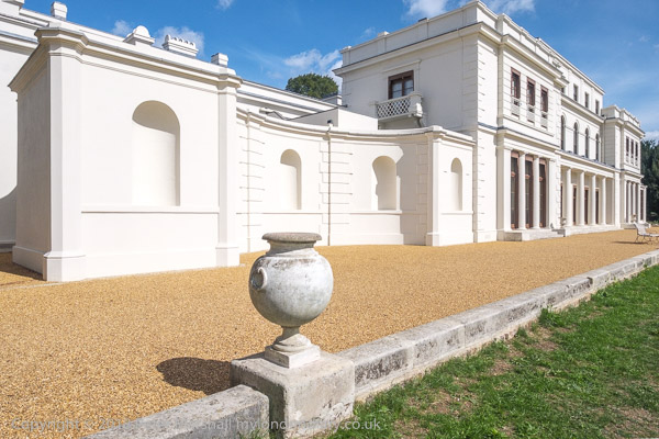
Gunnersbury House Museum – the ‘Large Mansion

Gunnersbury Park & Brentford: Another family outing on Friday 24th August 2018 took us to Gunnersbury House Museum, a free museum jointly owned by the London Borough of Hounslow and the London Borough of Ealing. It turned out to be considerably more interesting than I expected.

Gunnersbury Park & Brentford - 2018
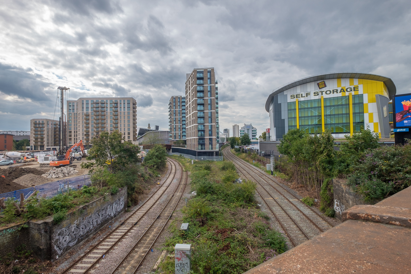
Lionel Road – now the site of Brentford Community Stadium

The 200 acre Gunnersbury estate was bought in 1925 from the Rothschild family by Ealing Borough Council and Acton Borough Council for £130,000, although it was all actually just outside their areas and in Brentford Urban District. They wanted to build over it, but the Rothschilds stipulated that all except a small part of it it was only to be used for leisure and recreation and it was opened to the public as a park by Neville Chamberlainn, then Minister of Health, in 1926.

Gunnersbury Park & Brentford - 2018
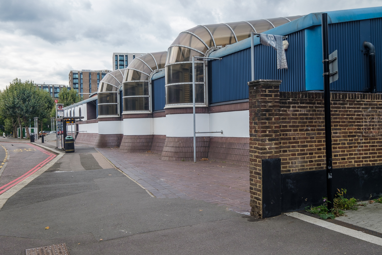
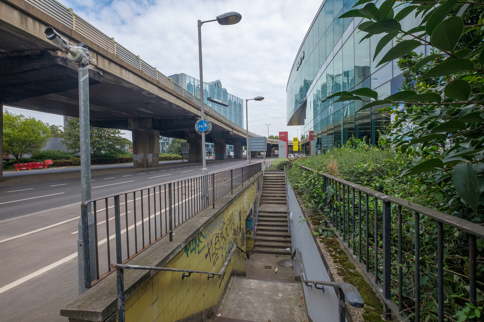
The elevated section of the M4 above the Great West Rd

Development of the site as a ‘country estate’ on the outskirts of London had begun in the late 17th century when the first large mansion, Gunnersbury House was built around 1663. The estate passed through various hands including wealthy merchant and MP Henry Furnese who had noted landscape designer William Kent give the park a makeover. Next Princess Amelia, favourite daughter of George II, had further changes made to the grounds for her famous parties there, including building a bathhouse.

Gunnersbury Park & Brentford - 2018
The temple is the only 18th century building remaining on site

The first mansion was demolished in 1801 and the estate was split into two adjoining estates each with a new mansion.

Gunnersbury Park & Brentford - 2018
A long series of rooms faces the garden in the ‘Large mansion’

The Grade II* listing for the ‘Large Mansion’ states it was built in “1801-28 by and for Alexander Copland; remodelled 1836 by Sydney Smirke for Nathan Mayer Rothschild, the City financier and Frankfurt-born founder of the British branch of this famous international Jewish banking dynasty.”

Gunnersbury Park & Brentford - 2018
The ‘Small Mansion’ still in rather poor condition

Next door the “Small Mansion”, on the site of the former mansion was built in 1801-1802 for Stephen Cosser according its Grade II listing, though other sources place it a few years later. It was extended with a service wing in 1837-44 by eccentric “Rogue Gothic” architect Joseph Peacock (1821–1893).
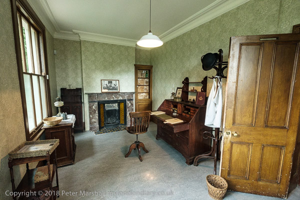
The Rothschilds had two French chefs who shared this office

The Rothschilds bought the Large Mansion (now the museum) and its gardens and park in 1835, adding the Small Mansion and its grounds in 1889 to recreate the now Grade II* listed Gunnersbury Park.

Large prints from Leopold de Rothschild’s Autochromes show the place as it was over a hundred years ago – with flamingos

I walked with Linda to the park from Kew Bridge Station along Lionel Road “with some difficulty as it is now a building site and crossed the Great West Road under the overhead M4, a Ballardian trek past the old and closed castellated gate to the park to enter into a sylvan wilderness, walking past the Potomac lake and its gothic folly.”

The garden slopes down from the house to a lake

Older members of our party took a shorter walk from the underground at Acton Central. Lionel Road is now overlooked by Brentford Community Stadium opened in 2020.
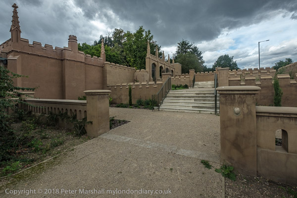
Princess Amelia’s Bath House

The park is certainly worth a visit and on My London Diary you can read more about what were for me the two highlights.These were the huge Rothschild’s kitchens where meals, not generally kosher, were prepared under the supervision of two French chefs, and a display of large prints from the Autochromes taken by Leopold de Rothschild using the first practical colour photography process patented by the Lumiere brothers in 1903 and sold to the public from 1907.
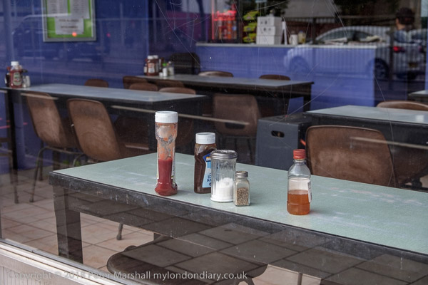
I made a new picture as we passed a cafe I photographed almost 30 years earlier on our way to Kew Bridge

We ate, not from those kitchens but from the modern park café, “tasty but rather insubstantial, and if you visit and are hungry, I’d advise a side order of chips” – or a short walk to a cheaper place near Acton Town station.
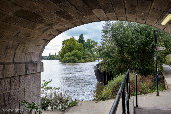
The Thames and Brentford Ait from under Kew Bridge

After the meal we said goodbye to the others and took a longer walk around the park before walking back to Kew Bridge station. With almost half and hour to wait for the next train we took a short walk by the River Thames to Brentford High Street and back.
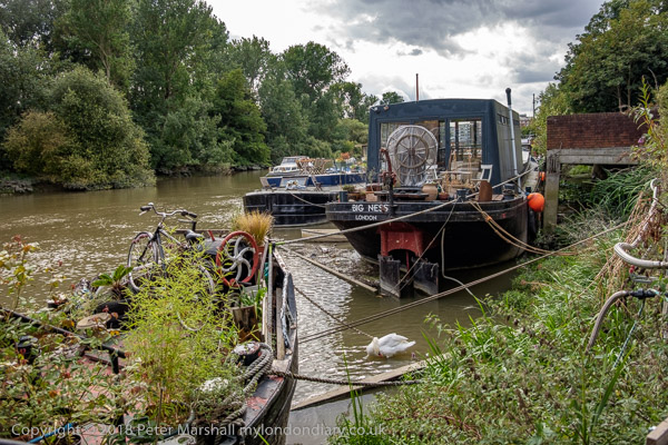
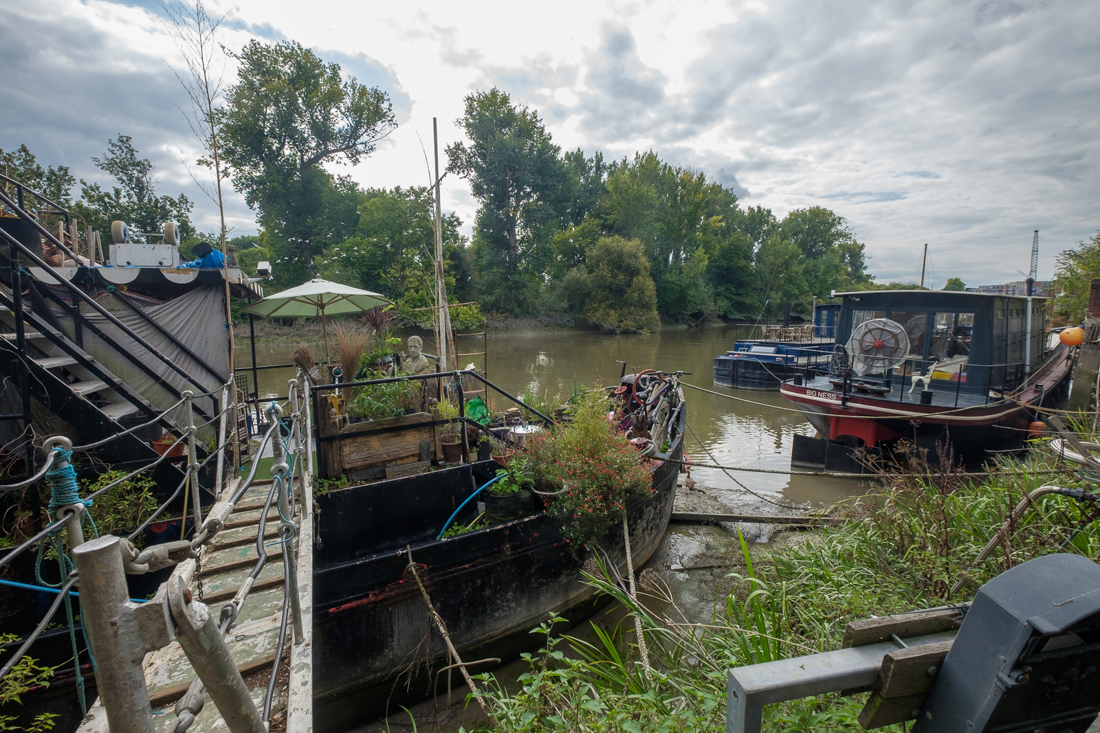
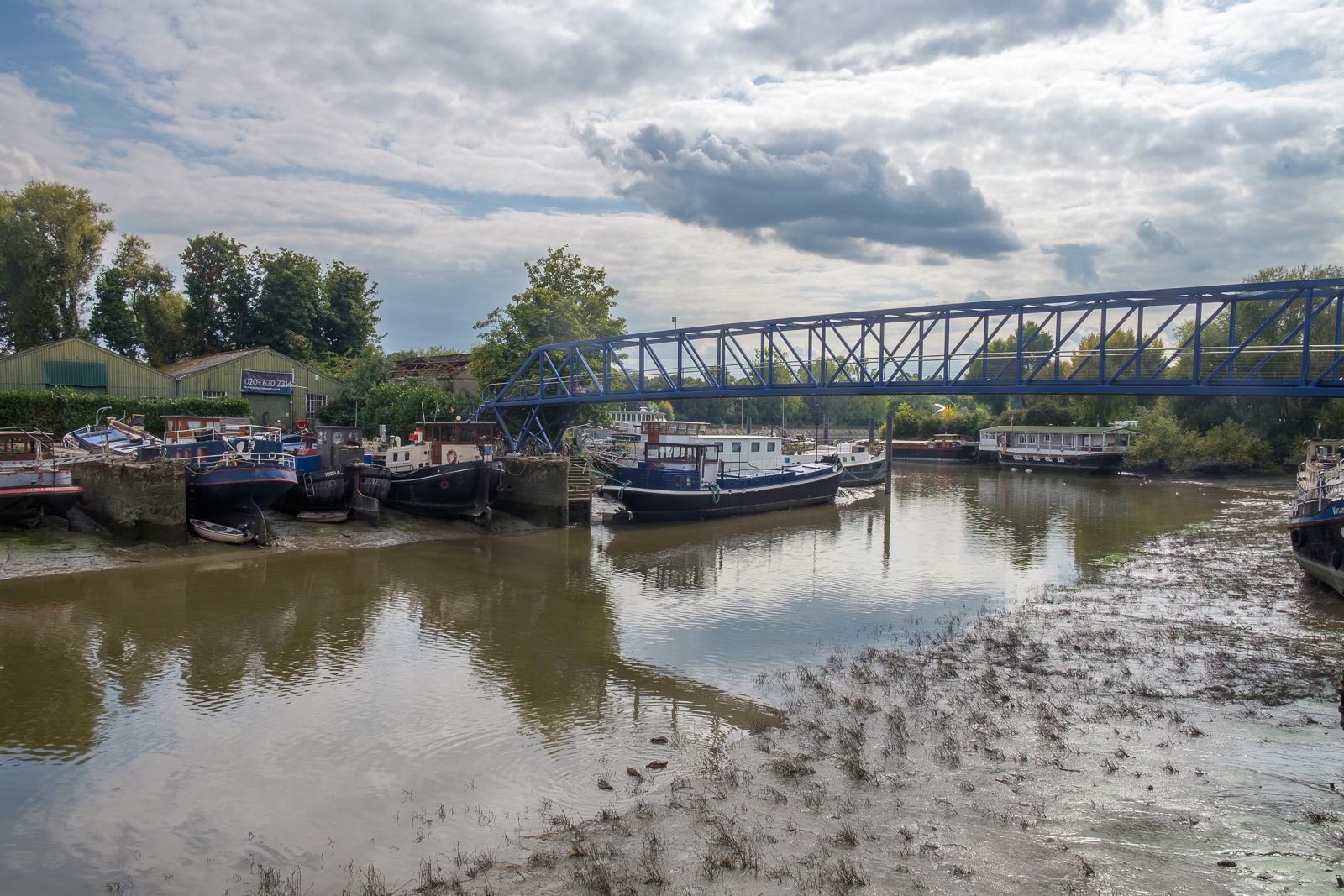
Mooring on The Hollows

You can read more about our trip to the park and the museum and see many more pictures from the day on My London Diary at Gunnersbury Park & Brentford.


FlickrFacebookMy London DiaryHull PhotosLea ValleyParis
London’s Industrial HeritageLondon Photos

All photographs on this page are copyright © Peter Marshall.
Contact me to buy prints or licence to reproduce.
Kew, Brentford, Syon & Isleworth Walk

Part 1 – Kew Bridge and Brentford

My walk a few days ago in September 2022 began at Kew Bridge Station. I’d come half an hour before I was due to meet my two companions to take a short walk around one of the newer parts of the area before meeting them for a longer walk to Isleworth.

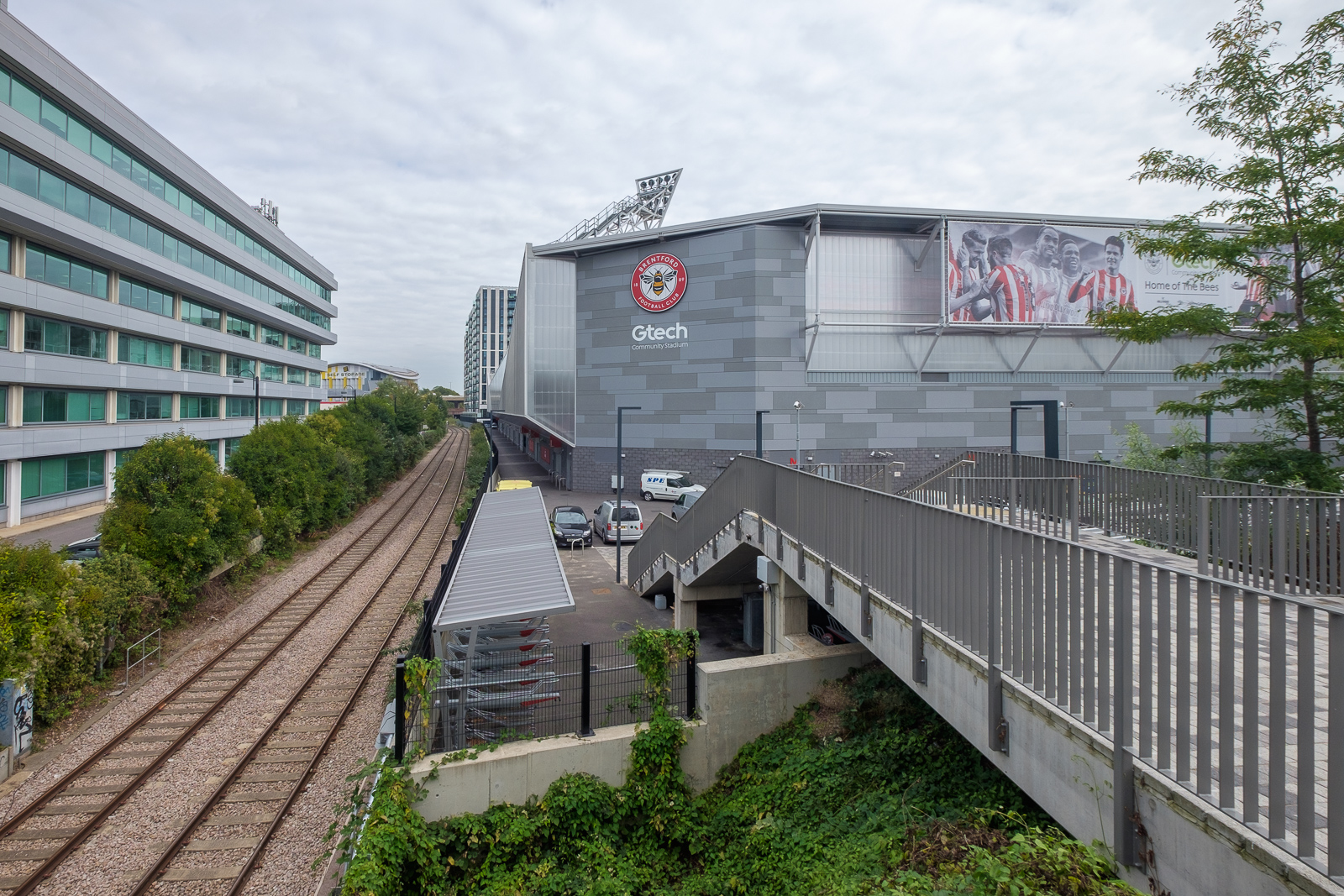
Lionel Road runs north of the railway up to meet the Great West Road. It used to be a rather run down area with railway sidings on one side and a few old commercial buildings and works to the north. The last time I’d walked down here on my way to Gunnersbury Park in 2018 the whole area had been a building site, but now is home to Brentford FC, currently doing pretty well in the Premier League.

Brentford was my local team when I was a kid, and several members of the award-winning under-11 team I played for at left back on went on to play for them at their old ground (and at Chelsea.) One of the other patrol leaders from my scout group stayed there until he retired, though I never met him after I hung up my woggle, but read his obit in the local rag.

Past there I came to the Great West Road, a 1930s dual carriageway with cycle tracks I sometimes used further west on my way home from school. In the 1980s or 90s I photographed most of the remaining Art Deco factories along it, though the bulldozers got to some first. Now it reminds me of J G Ballard’s novels, particularly ‘Crash’, set around the area we both lived in, with the elevated M4 above the older modern road.

A new Brentford of tall blocks has sprouted here, though more land remains to be built on. A little-used rail line goes through it, the Kew Curve, with Brentford’s stadium replacing the sidings and cattle pens to its west, with new building on the east in what was Brentford Market. It moved to this site in 1893 after the Brentford Local Board had bought the 2 acre site from the Rothschild estate because market trading in the area around the Express Tavern immediately south of the station which had developed informally away from Brentford’s traditional market in Market Place had become a public nuisance. The site was extended in 1905 and then covered land now part of the Chiswick Roundabout. The market moved to the edge of Southall in 1974 as the new Western International Market and the Fountains Leisure Centre was built on part of the site, with the rest staying derelict for years.

My maternal grandfather, then a market gardener in Feltham, would drive his cart with produce to Brentford Market in the early years of the last century, past the house in Hounslow where my father, then a young boy, used to see him driving past. Around twenty years later when he became engaged to my mother he found out who he was.

I met my two colleagues and we walked together down by the west side of Kew Bridge to the Thames. To our right was where the Kew Bridge Ecovillage had squatted from June 2009 until May 2010, now occupied by 164 flats, a business centre, gym and pub.

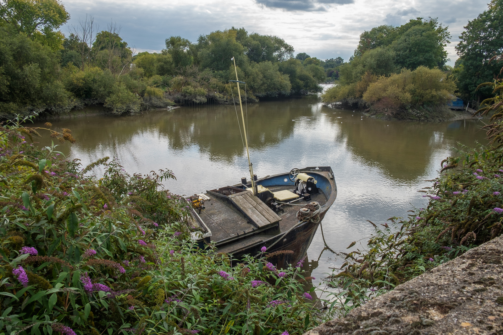
The Hollows runs west between riverside moorings and recent blocks of luxury flats, eventually returning us to Brentford High St, and a park beside the river now called Watermans Park. This was the site of Brentford Gas Works which straddled the High Street here and was a great attraction when we took the bus through it in my childhood, usually on our way to Kew Gardens. Entrance then was only an old penny, and it was a cheap outing for families in the area. My father would have his scissors in his pocket and perhaps take the odd small cutting to grow in our garden. Rather cheaper than garden centres.

But if you were lucky as the bus drove slowly down the usually congested street, one of its Intermittent Vertical Retort would open sending a wall of red hot coke to the ground, quite an amazing site as we peered from the top deck. It almost made up for the smell.

A gas works had been set up here and began production in 1821, first supplying has for lighting the turnpike to Kensington, but later serving large areas around. Later other gas works were set up in Southall and then elsewhere as demand continued to rise. in 1926 the Brentford gas company became a part of the Gas Light and Coke Co which later became British Gas plc. Brentford Gas Woks closed in 1963 and the riverside buildings were demolished in 1965 though the large gasholder remained until 1988.

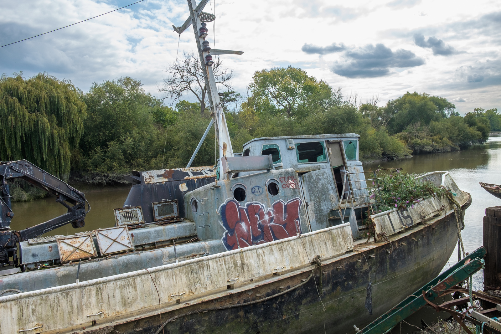
All than now remains of the gas works are some of the substantial posts of the gas works jetty, where colliers once brought in coal. There has been a long battle over the rights to moorings here between boat owners and Hounslow Council with boat owners claiming that the foreshore here belongs neither to the council nor to the PLA but to the Bishop of London, and refusing to abide by various eviction notices. Most have now moved but some derelict boats remain.

Brentford Ait runs along the centre of the river here. It was bought in the late 19th century by the Crown who planted trees on it to hide the gas works from visitors to Kew Gardens on the opposite bank. A few yard upstream is Lot’s Ait, where the Thames Steam Tug and Lighterage Company Ltd set up a boatyard in 1920 – most of the Thames lighters were built there. The boatyard closed in the 1970s, but was reopened in 2012 when a new footbridge was constructed to it.

As well as the park, the Watermans Arts Centre was also built on the gasworks site. We walked between it and the river, and continued on the riverside path, past the bridge to Lots Ait and recent blocks of flats. There are new moorings around here too.

A small spit of land leads from the bottom of Ferry Lane (more new flats) to an artwork by the riverside. I’m not quite sure what to make either of Liquidity or another similarly decorated column not far away, but it could provide a useful windbreak in bad weather. This was where once a ferry ran across to Kew Gardens.

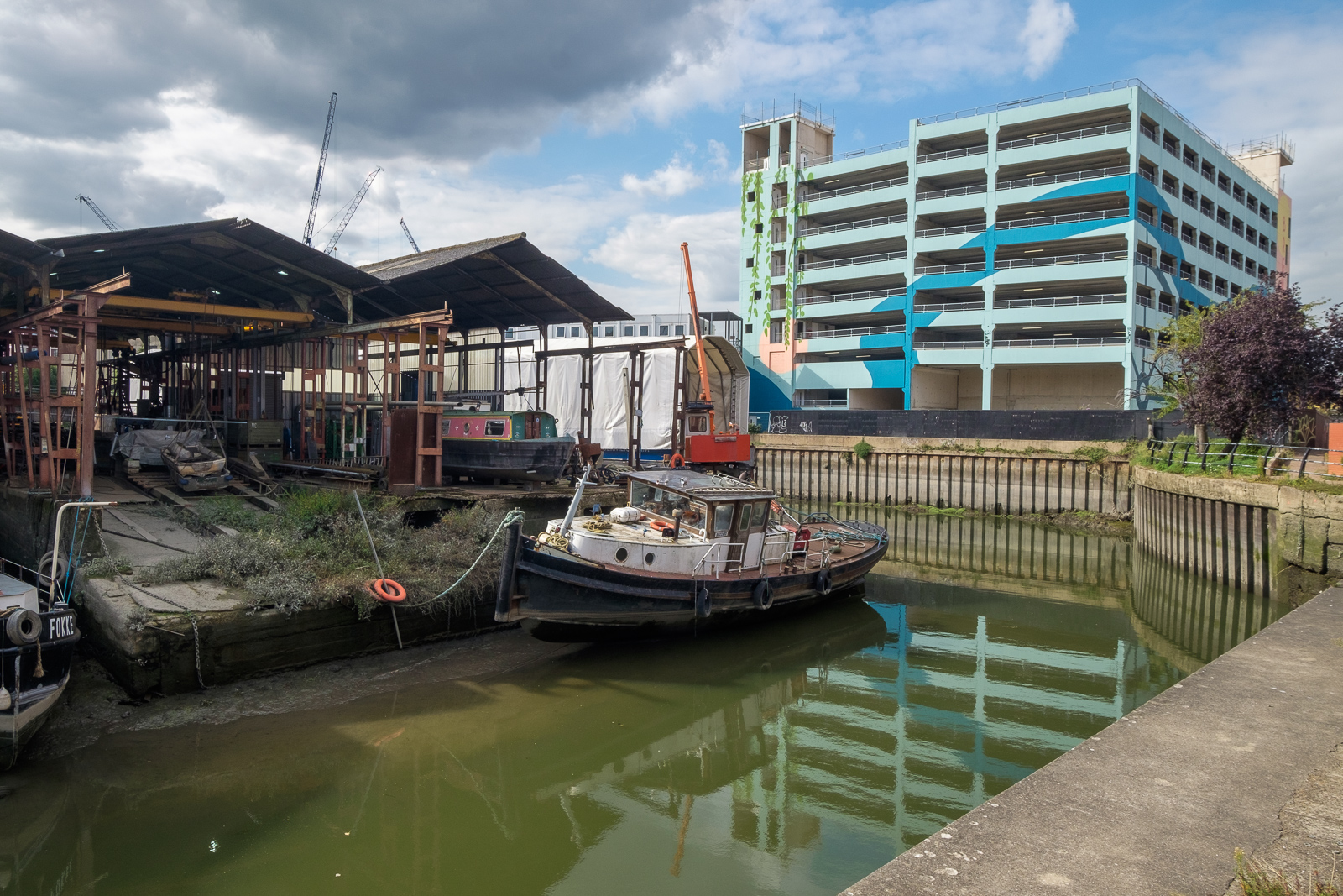
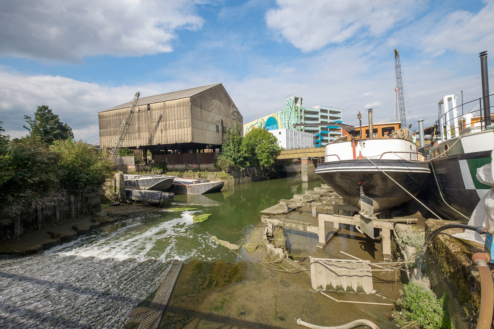
We followed the Thames Path around a small dock, on what was the site of the Thames Soap Works and then continued along the side of the River Brent which flows into the Thames here, continuing along this beside the winding river past another boatyard to Brentford High Street.

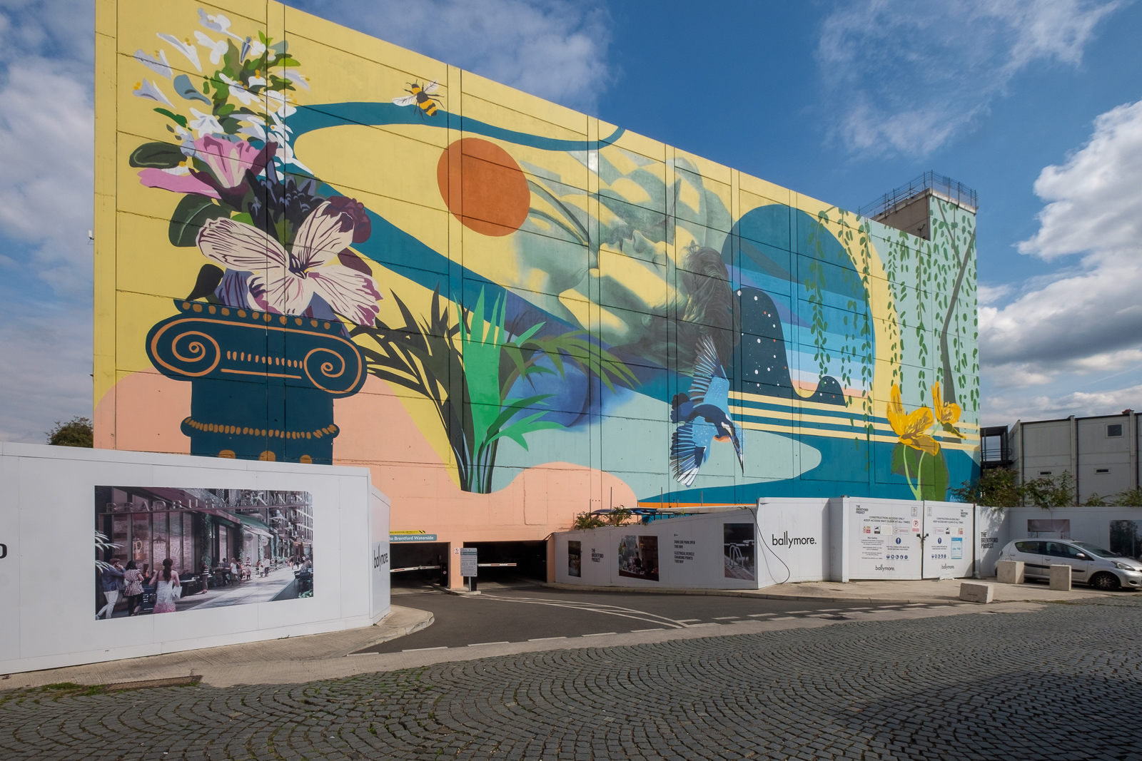
A few yards along we turned left down Dock Road to Thames Lock, past a huge mural and the other end of the boatyard, to Thames Lock, the southern end of the Grand Union Canal. Here we took the path beside the north side of the canal, leading across a bridge over the Brent to Johnson’s Island and Catherine Wheel Road.

The mural, on the side of a multi-story car park had included a giant kingfisher, and I’d joked saying this was the only kingfisher we’d see in Brentford. But as we walked across the bridge over the River Brent and stopped to take pictures, perched on the top of a post there was one, still only for a second before flying out of sight. By the time I’d raised my camera to my eye it was gone, though since I had and extreme wideangle lens it would hardly have been visible, just a few more colourful pixels.

I’d planned to walk along Brent Way and rejoin the canal towpath, but the whole of this area is now a huge building site, and instead we walk along the High Street to the canal bridge. I couldn’t bring myself to walk down to the Gauging Lock preserved there, though I’ve done so several times before, but the changes to the area, now with a marina, flats and hotel made me feel too sad; we simply stood on the bridge and looked for a while before moving on.

Part 2 will continue the walk from here to its end in Isleworth. You can see more pictures from the walk in a Facebook album.