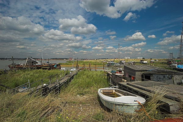
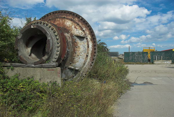
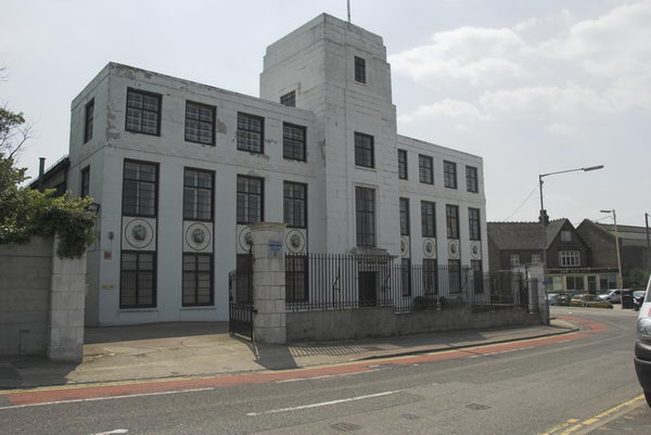
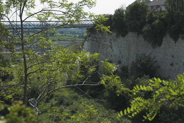
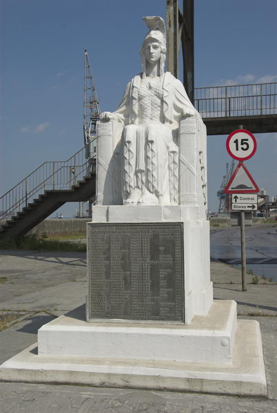
Gravesend and Northfleet, Kent: Twenty years ago on Thursday 8th June 2006 I took my folding bike by train to Gravesend and spent an afternoon cycling through the area on the Kent bank of the River Thames, long home to the cement industry – the manufacture of ‘Portland Cement’ began here in 1834.
I’d long had an interest in the area, both for its industrial history and for its sometimes spectacular landscapes created by this. I was first inspired when I borrowed an old book from my local library, Donald Maxwell’s ‘A Pilgrimage of the Thames‘, published in 1932. His accounts and sketches, some first published earlier in the Church Times present an interesting and romantic view of places and people along the river beginning at Gravesend and ending at Oxford.
Maxwell (1877-1936) reports a Thames pilot telling him as he sketched on a jetty, “The principal products of Gravesend are paper, cement and smoke – especially smoke.”
Later, writing about Northfleet he muses prophetically “One day, when the cement industry has left this valley, and centres of population have shifted, this district will be called the Switzerland of England, and weekend châlets, each with its aeroplane-landing on the cliff, will look down once again upon green shores and tree-embowered banks.”
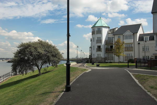
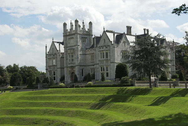
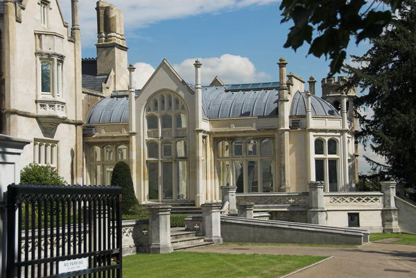
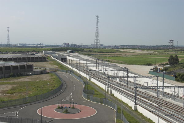
It hasn’t happened quite like that, though the cement industry has gone and there are some luxury riverside flats and the new town of Ebbsfleet developing around a new station on the Channel Tunnel Rail Link (which Eurostar trains whizz through non-stop at around the same speed as aircraft when Maxwell wrote.)
Of course Maxwell’s book was not my only source for information about the area. Particularly useful was the 1971 geography text ‘Lower Thameside‘ by Roy Millward & Adrian Robinson with its chapter ‘The Cement Industry of Lower Thameside‘ which gave some rather more precise information and a suggested itinerary which informed my first actual visits to the area in the 1980s.
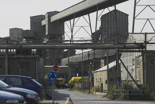
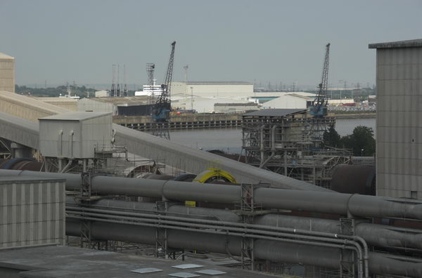
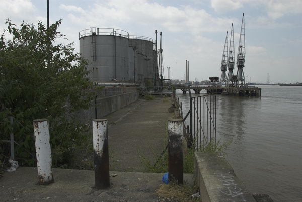
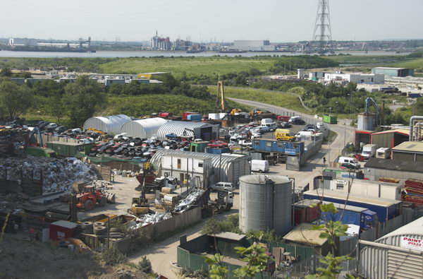
A few years after I took these pictures in 2006 the vast cement works at Northfleet had gone.
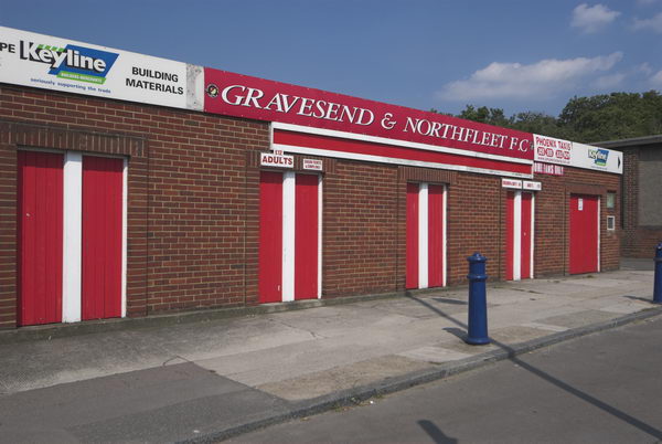
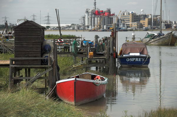
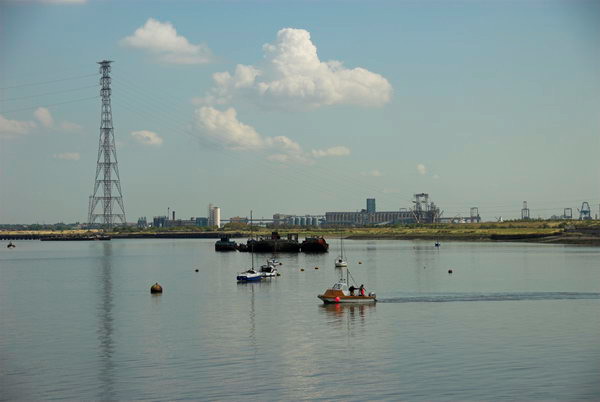
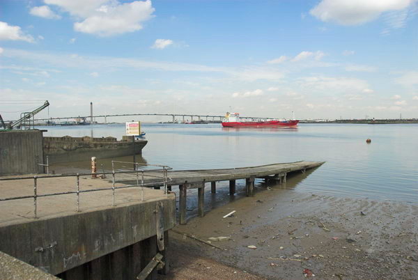
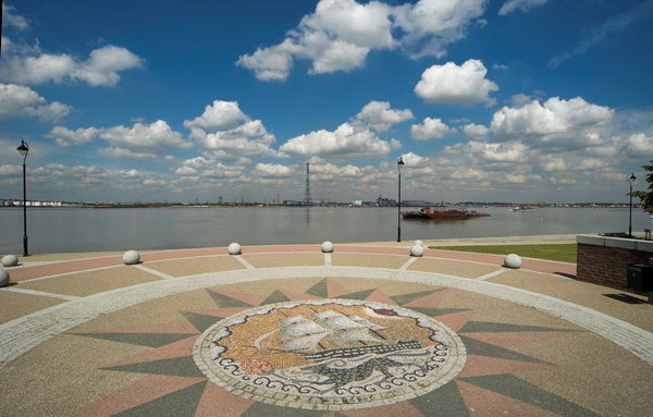
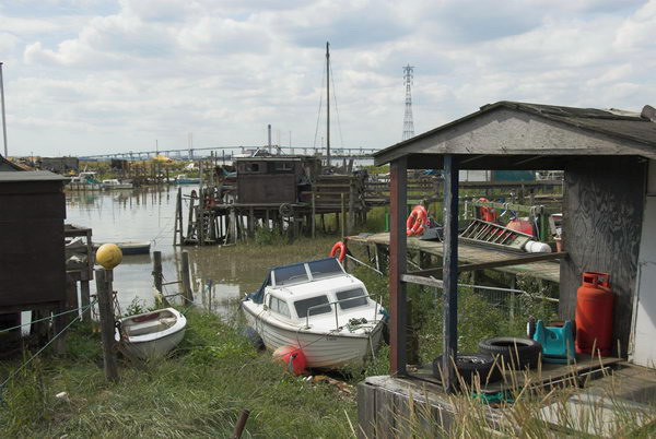
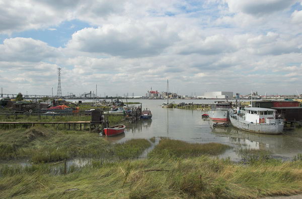
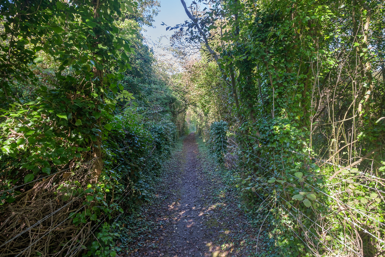
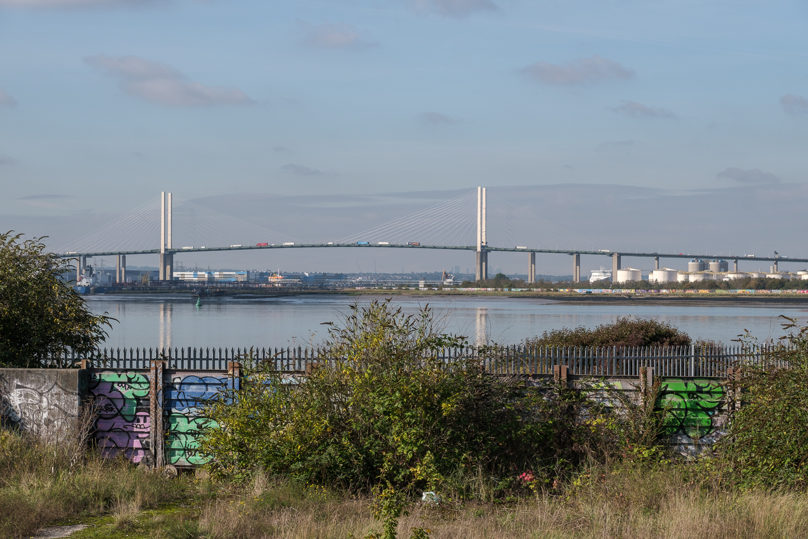
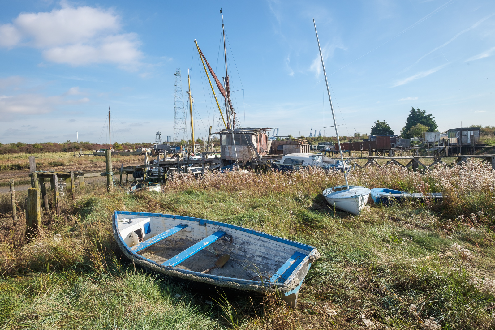
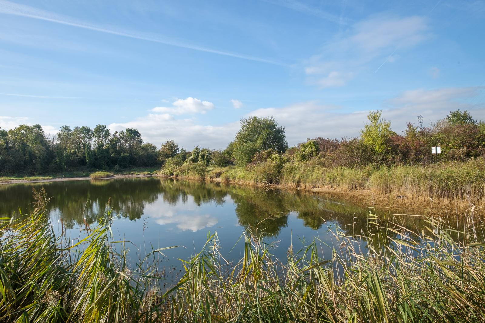
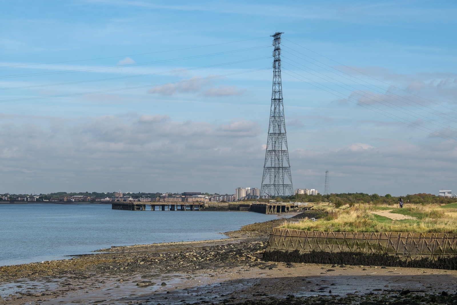
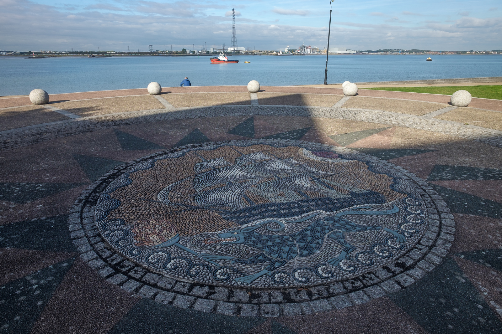
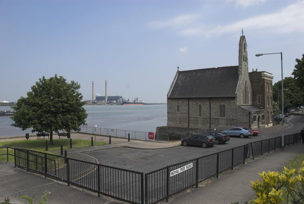
The photographs on My London Diary are not captioned (and I wrote nothing about them) but a they are in order of my ride beginning in Gravesend and moving west, with views across the Thames to Tilbury. From Rosherville I moved on to Northfleet (where Gravesend & Northfleet FC is now Ebbsfleet United) and then on to take the train home from Swanscombe.
More pictures on My London Diary
Flickr – Facebook – My London Diary – Hull Photos – Lea Valley – Paris
London’s Industrial Heritage – London Photos
All photographs on this page are copyright © Peter Marshall.
Contact me to buy prints or licence to reproduce.