
A couple of days ago I walked around the Swanscombe peninsula together with two photographer friends and took some more pictures of the area.
I first went to Swanscombe back in 1985 as a part of my project on lower Thameside and in particular the area close to the river between Dartford and Cliffe. The area between the main road and the Thames had been one of a chalk hill leading to marshes, and the chalk had largely been quarried years ago after the invention of Portland Cement, with major factories producing it in Stone, Swanscombe and Northfleet.
By 1985, only the Northfleet factory was still in production, with just a few largely ruined buildings of the Swanscombe factory still standing. The ancient pathway of Pilgrims Road, by then just a footpath, ran down from the main road to the marsh on a narrow section of chalk which remained., and the floor of the former quarry to the east of this was occupied by various industrial sites.

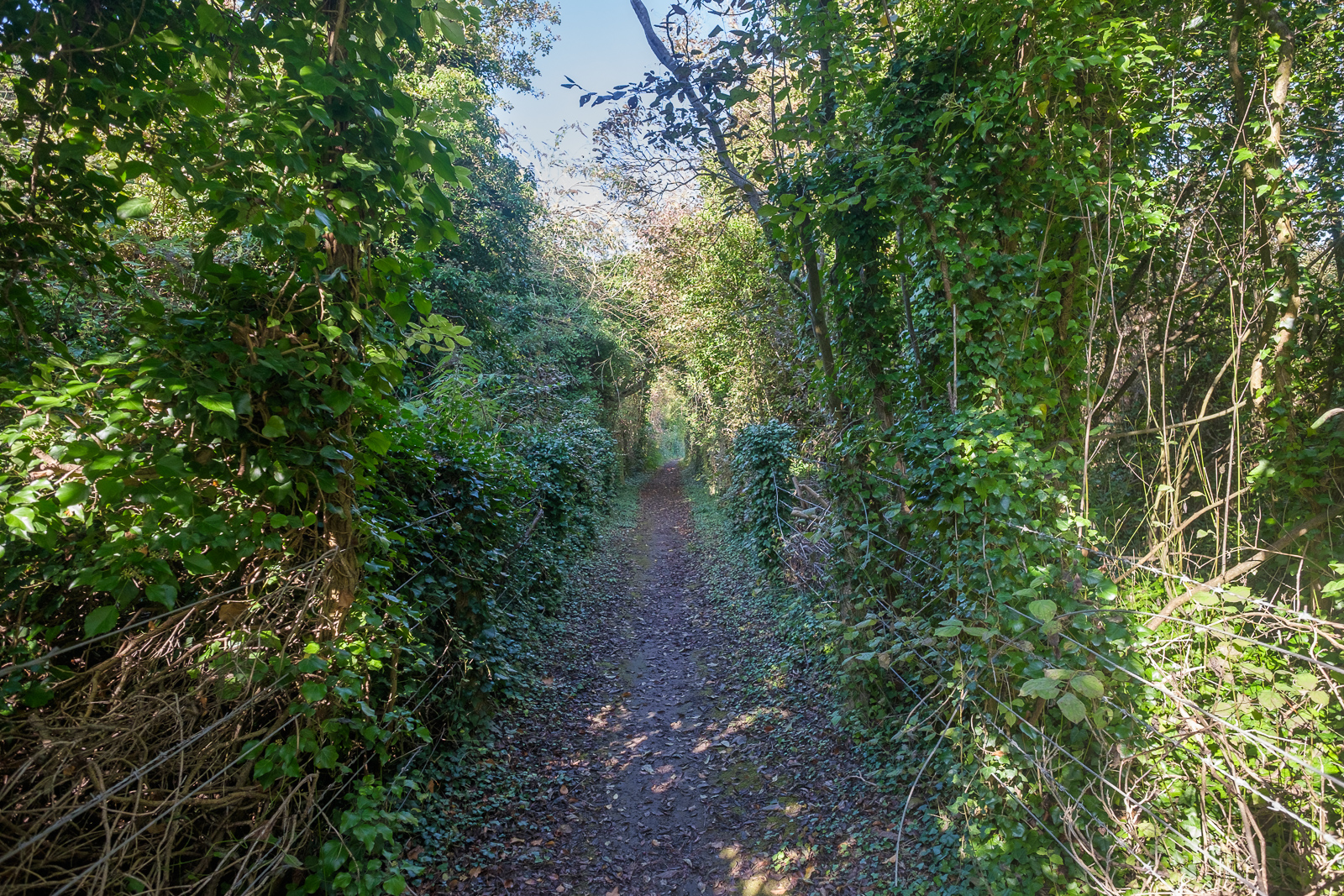
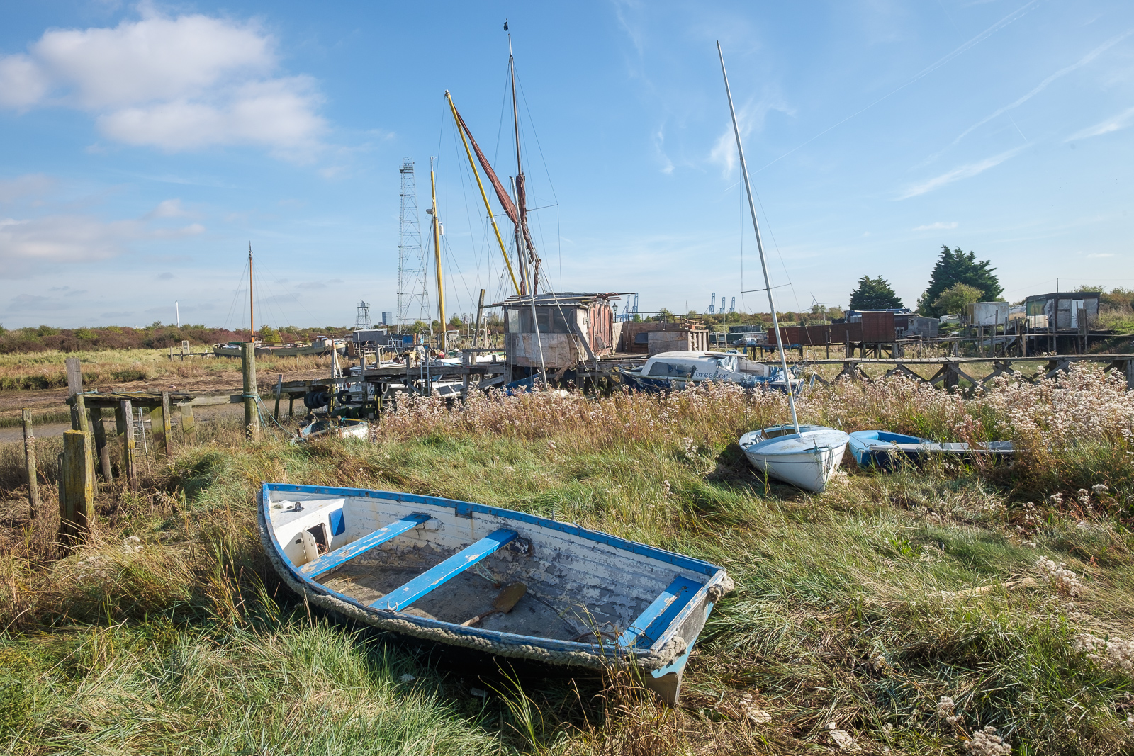
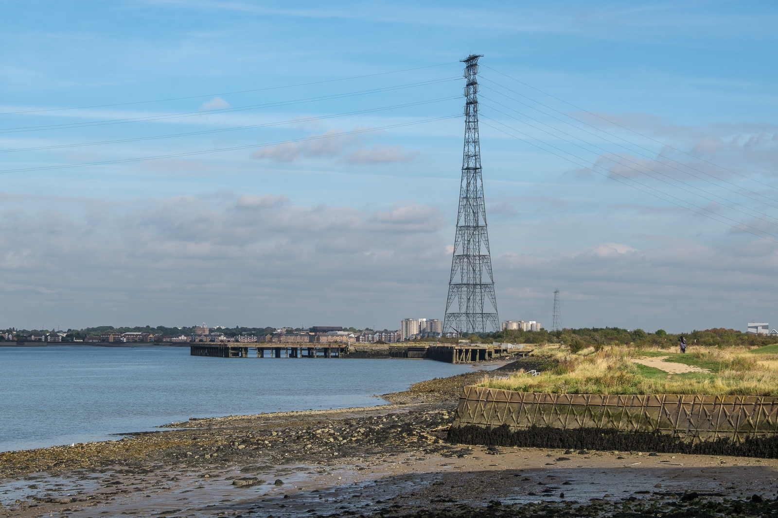
Then you could wander fairly freely across the marsh where there were still the clear traces of its its former industrial use, with relics from the overhead cable and conveyor belt which took materials from the jetty to the works, and various heaps of waste materials. There are still a few sections of the railway lines that lead to the jetty, but much more of the land is now either fenced off or has recent notices prohibiting access.

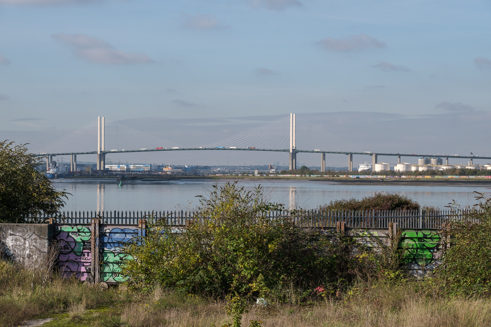
There are several public footpaths through the area, and we took a route along most of them, although a part of one near the jetty appears to have been blocked and needed a slight detour. A new route going east beside the jetty and then alongside the river to the saltings had been approved as a part of the England Coast Path “from Autumn 2021” and we walked along this section of it, although I’m not sure if it is as yet officially open.
Although we took care not to go past any of the notices marking areas a private, we did find at one point as we walked past a notice that it claimed the track we had just been walking on was private. But by then it was too late, although of course we were doing no harm by walking along this unfenced path. One of the public footpaths (DS12) has a short section that is now totally overgrown, and we had to push our way through a few yards of rather boggy reeds to keep within its fenced route. We ended out walk at Greenhithe, which had two pubs but virtually no beer or food and caught the train to Darford for a meal.
Since 2021 the area has been under threat of a planned development as London Resort, 535 acres of a “world class, sustainable, next generation entertainment resort on the bank of the River Thames” and a kind of London equivalent to Disneyland, with a theme park, hotels with 3,500 beds, jetties on both the north and south bank of the river and a new road connection from the A2.
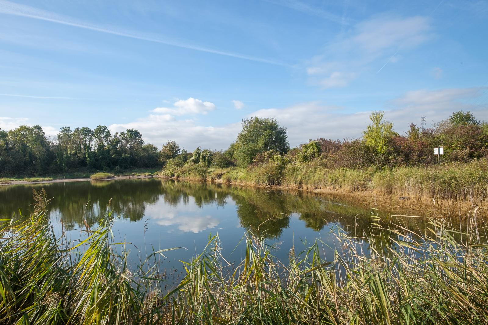
Although this would provide new jobs, there has been considerable opposition to the scheme, particularly as it would threaten the huge diversity – the area is home to many plant species and bees, butterflies, beetles, cuckoos and marsh lizards, more than any other brownfield site in the UK, and is one of only two places where the critically dendangered Distinguished jumping spider (Attulus distinguendus) is found. Following a request by the Save Swanscombe Marshes campaign the area was declared a site of special scientific intrest (SSSI) by Natural England who describled it as “one of the richest known sites in England for invertebrates”.
Many new housing estates have been developed in the surrounding areas since 1985 and others are likely to be built on various quarry areas in the region. It would be a great shame to lose this important area of green riverside space to the proposed development. Leisure doesn’t need theme parks.
More pictures on Facebook at Swanscombe October 2021.


