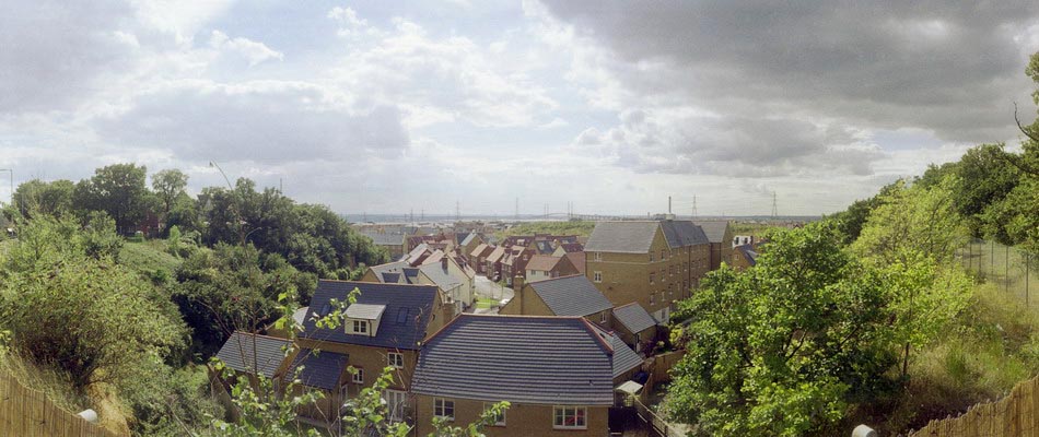
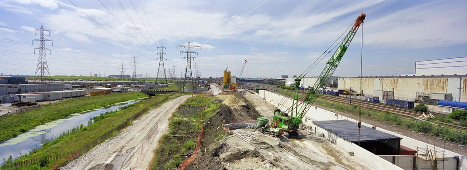
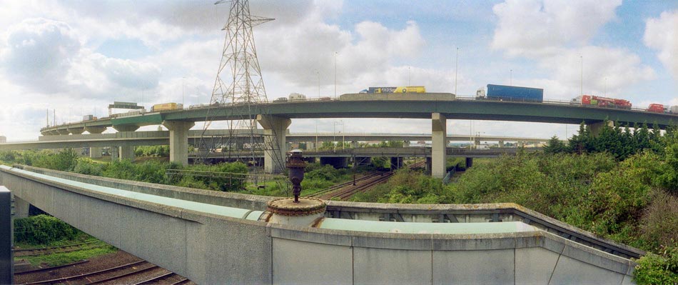
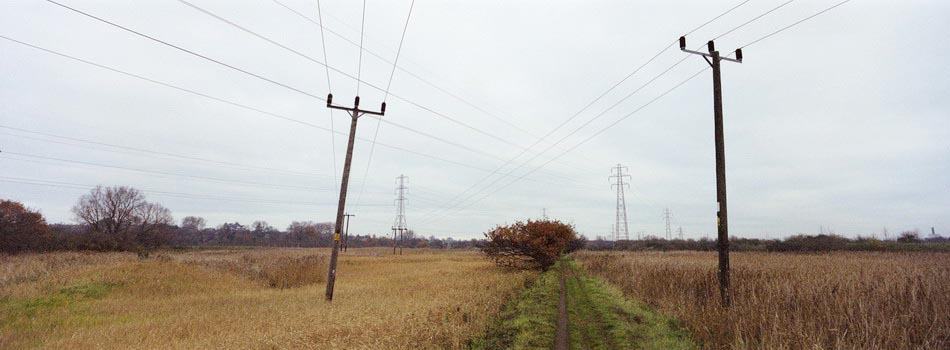
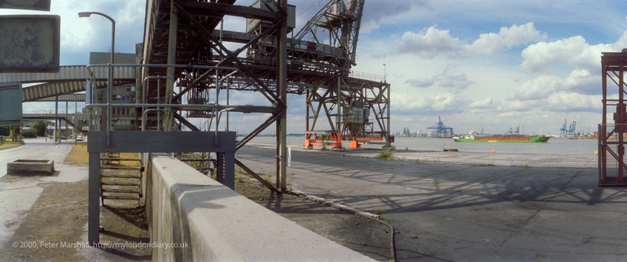
Swanscombe Peninsula Kent: I visited and photographed the Swanscombe peninsula in the 1980s as a part of an extensive project along the south bank of the River Thames east of London, returning occasionally over the years, particularly in the 2000s when I documented the building of the Channel Tunnel Rail Link which crosses under the river here.
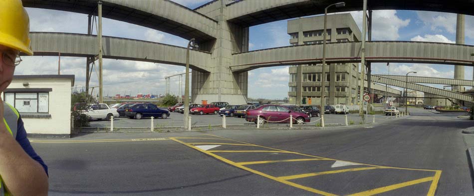
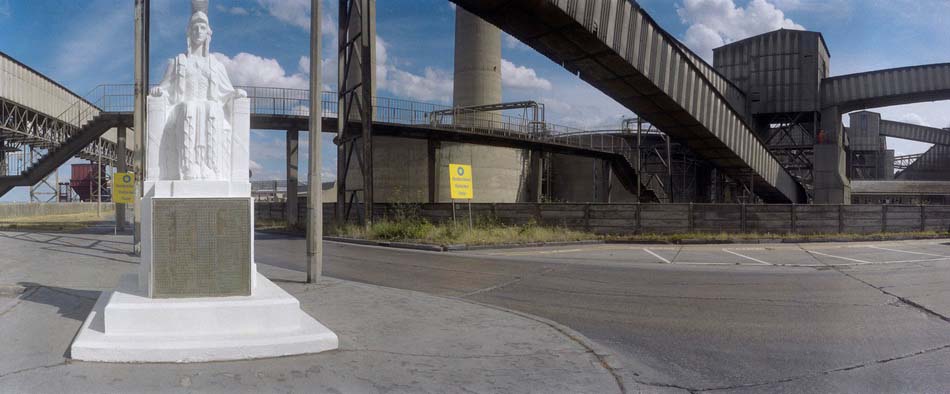
Back in the 1980s there was still a large cement industry here. But it was here that Portland Cement became the centre of the UK cement industry, with huge quarries digging out the chalk, often 100ft thick here, leaving huge gaps in the landscape. But most of these quarries were now worked out and the industry was fast declining and has now all gone.
On my 2015 post Swanscombe on My London Diary you can read more about the industry. The Swanscombe cement plant was the l argest in the UK from 1840 until 1930, but was largely derelict when I took pictures in the ’80s though it only finally closed in 1990. That at neighbouring Northfleet, was only fully developed in 1970, although cement production had begun there in 1796. That site, the last working cement plant in the area, closed in 2008 was cleared and its landmark chimneys demolished in 2009-10.
Chalk had been quarried to within a few feet of the main A226 London Road and in some places on both sides of the road, leaving it running on a narrow spine of chalk.
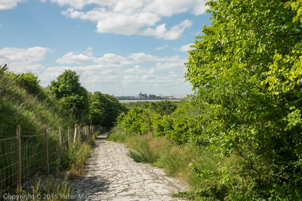
From the road the Pilgrims Road leads down steeply to Swanscombe marshes, with some industrial developments in the former chalk pits on both sides.
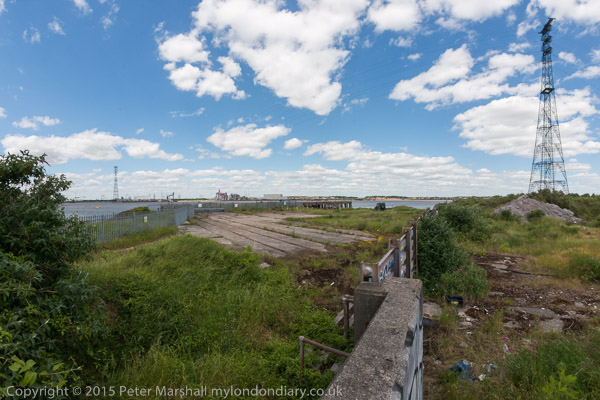
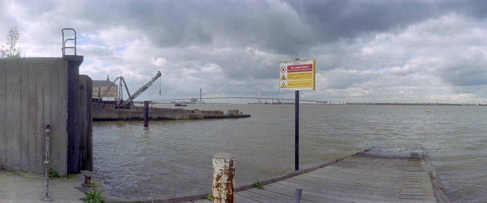
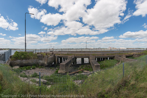
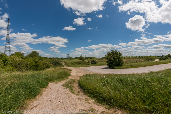
Kent Wildlife Trust describe the marshes as “Home to a remarkable mosaic of grasslands, coastal habitats, brownfield features, scrub and wetland” and I certainly found it a remarkable area both in the 1980s and in later visits – the last a year or so ago. My pictures more reflect an interest in industrial archaeology rathe than nature.
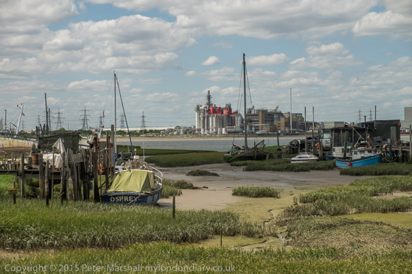
In 2012 plans were announced to turn 216 hectares of this site into a theme park, at first with the support of Paramount Pictures who withdrew their support for Paramount Park in 2017 with the proposed park being renamed London Resort. Paramount are also taking London Resort to the High Court over a financial deal after the London Resort was in danger of going bust, although they still apparently have an interest in providing content based on their block-buster films.
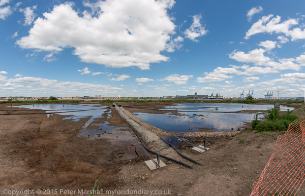
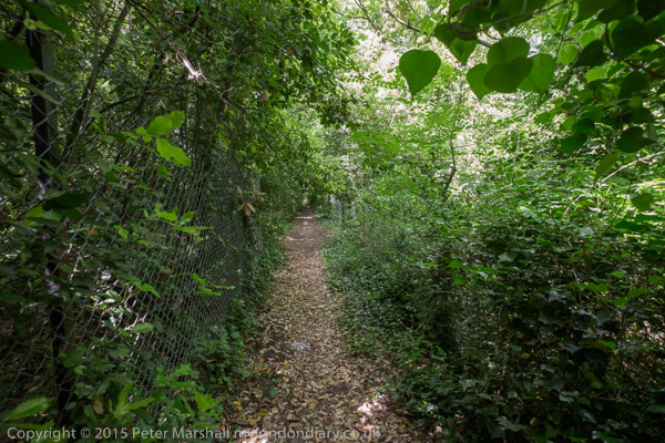
In 2015 it looked likely that Paramount Park would go ahead in the relatively near future, prompting me to get on my bike and revisit the area. In the post on My London Diary I give some details about my route. I think all of the site is privately owned but back then much was still open to the public to wander around. Since then there have been more fences and notices restricting public access but there is also a new section of the England Coast Path opened at the start of 2022 through here.

The English Resort plans are still in limbo and the planning permission has lapsed, although the company still believe they will go ahead at some time, others feel the project is dead. Development of the site became more complicated when it was declared as an SSSI on account of its jumping spiders in 2021, and its financial prospects are threatened by Universal Studios consideration to build a rival resort in the former brickworks near Bedford. And its unclear if there would be the money to go ahead.

Dartford Council has withdrawn its support for the project, as has the local MP, but it remains to be seen what attitude a new government will take towards the plans. Campiagners against it, including the council have called for it to lose its Nationally Significant Infrastructure Project status which would almost certainly be its death knell.
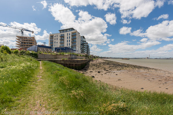
Of course this doesn’t mean that this remarkable piece of nature is safe from development, and if London Resort is ended parts of the area are likely to be developed for housing as prime riverside sites, though hopefully much will remain.
More at Swanscombe.
Flickr – Facebook – My London Diary – Hull Photos – Lea Valley – Paris
London’s Industrial Heritage – London Photos
All photographs on this page are copyright © Peter Marshall.
Contact me to buy prints or licence to reproduce.
