Posts Tagged ‘hill’

Highgate, Swains Lane And Dartmouth Park, April 1989

Tuesday, March 14th, 2023

This is the second and final part of my walk on Friday 7th April 1989 which had started at Gospel Oak station and I had walked up to Highgate. You can read the first part at Highgate April 1989.

Highgate Literary, Scientific Institution, South Grove, Highgate, Camden, 1989 89-4a-11

I took another picture of the Highgate Literary & Scientific Institution, but didn’t explore much more at the top of the hill.

Pond Square, Highgate, Camden, 1989 89-4a-22

Though I did take a few more pictures, but have only digitised this one. I was eager to go down the hill again, this time taking Swain’s Lane, by the side of the Literary & Scientific Institution.

Swain’s Lane is rather steeper than West Hill and apparently had got its name from being used by pig herders and was first recorded in writing as Swayneslane in 1492. It provided access to farms on either side and only the top few yards were developed for housing before 1887. Fortunately I was walking down hill and hadn’t brought my bike as riding up this lane would have been something of a challenge.

House, Swains Lane, Highgate, Camden, 1989 89-4b-63
Lodge, Swain’s Lane, Highgate, Camden, 1989 89-4b-63

Even now much of Swain’s Lane is undeveloped as it runs between one of London’s great cemeteries, Highgate Cemetery and one of its fine parks, Waterlow Park, both behind brick walls with just a narrow pavement. Below Waterlow Park on the east side is the newer part of Highgate Cemetery, which includes Karl Marx’s Tomb.

The Grade II listed building is the picture is the Lodge at the Swain’s Lane entrance to Waterlow Park, built in the mid-19th century in a fine example of Victorian Gothic, though the chimneys are more Tudor. The post at right is for the park gate and I took just a brief stroll inside before continuing my walk. On warmer days I’ve explored the park rather more and sometimes found a bench to eat my sandwiches as well as taking a few pictures.

In 1992 I visited and took some pictures in both the West and East parts of Highgate cemetery, some of which are on-line in Flickr, but on this walk I didn’t have time to stop and just went on down the hill.

House, Swains Lane, Oakeshot Ave,  Highgate, Camden, 1989 89-4b-52
Mansion, Swains Lane, Oakeshot Ave, Highgate, Camden, 1989 89-4b-52

Immediately south of the West cemetery is the Holly Lodge Estate, with mansion blocks on Makepeace Avenue and Oakeshott Avenue. The website tells that in 1809 Harriot Mellon, a young actress acquired a large villa later known as The Holly Lodge here, and after she married banker Thomas Coutts in 1815 both house and grounds were enlarged and landscaped. She died in 1837, leaving the property and her fortune to one of the most remarkable women of the Victorian age, her husband’s ganddaughter, Angela Burdett-Coutts.

When she died in 1906 her husband tried to sell the entire property with no success, but then managed to sell off some of the outlying parts – including Holly Terrace on West Hill and South Grove House, both mentioned in the previous post on this walk but it was not until 1923 that the main part was sold off and development of the Holly Lodge Estate began.

This area was acquired by the “Lady Workers’ Homes Limited to build blocks of rooms and flats for single women moving to London in order to work as secretaries and clerks in the city on the Eastern side of the estate.

These blocks built in the 1920s had fallen into a poor state of repair by the 1960s and were acquired on a 150-year lease in 1964 by the Metropolitan Borough of St Pancras – and so are now owned by the London Borough of Camden. The council for some years continued with the policy of only housing women on the estate but this has now lapsed.

The flats were designed without separate kitchens and with shared bathrooms and toilets as bed-sits for single women – and the estate was built with a long-demolished community block with restaurant, reading and meeting rooms and a small theatre, and behind it three tennis courts. Some of the bed-sits have been converted into self-contained flats but others still share facilities.

Raydon St, Dartmouth Park Hill, Highgate, Camden, 1989 89-4b-42

I returned to Waterlow Park, making my way through it to Dartmouth Park Hill and on to take thsi picture of some very different housing on the Camden’s Whittington Estate. But by now I was in a hurry and the light was fading a little and I took very few photographs (none online) as I made my way through the streets of Dartmouth Park to Highgate Road and Grove Terrace and on to Gospel Oak station for my journey home.


Sudbury to Brentford – 31st December 2016

Saturday, December 31st, 2022

Sudbury to Brentford

Six years ago on New Year’s Eve we walked with a couple of family members from Sudbury to Brentford. This year because of rail and health problems none of our family are staying with us and “South Western Railway services between 18 December and 8 January are subject to change and may not operate”, so if the weather is fine we will probably do a rather shorter walk from home.

Sudbury to Brentford

The trip in 2016 to Sudbury Hill station was reasonably fast; a short train journey then a bus and a couple of short hops on the Piccadilly line got us there in a little under an hour and a half, and within a few minutes we were walking along suburban streets to Horsenden Wood, where we walked to the top of the hill.

Sudbury to Brentford

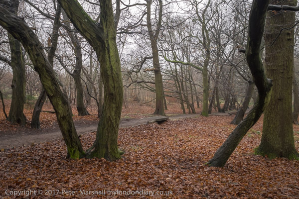
Unfortunately it was a dull and damp day, and we could only see the extensive views this part of the walk would have given us had the air been clear dully through the murk, but the path up through the wood was enhanced by the slight mist. We walked down the hill to cross the Grand Union Canal.

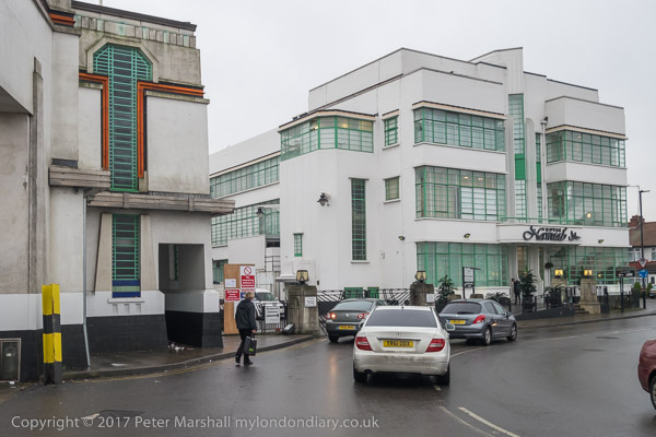
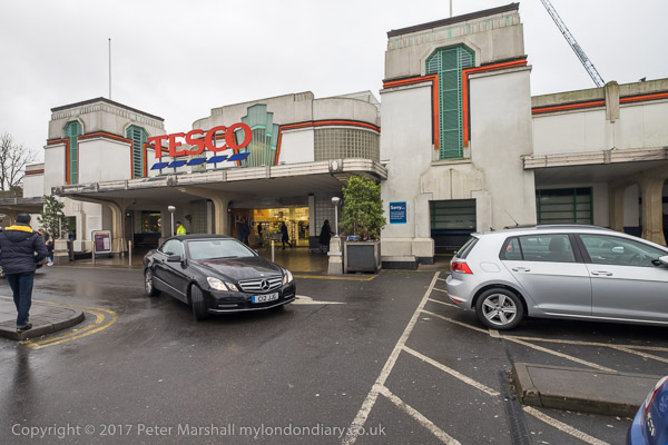
Soon we reached the highpoint of the walk for some of us, the 1930s trading estate leading to the Art Deco Tesco on Western Avenue, designed by Wallis, Gilbert and Partners and built in 1933 for Hoover, along with the 1930s moderne canteen, now an Asian restaurant. We chose the Tesco both for a tiny bit of shopping and the toilets, then walked west to the footbridge to cross the busy road.

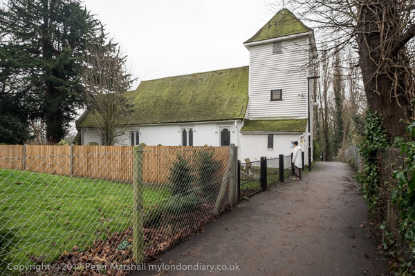
Almost immediately on the path the other side of Western Avenue we came to St Mary the Virgin Perivale, now used for concerts, with just an occasional service.

This Grade I listed redundant church dates in part from the 13th century and was the smallest church in Middlesex (outside London.) We explored its graveyard and sat down on a rather damp seat there to eat our sandwiches in what was either heavy drizzle or light rain.

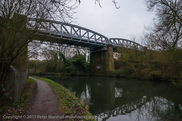
The next section of the walk took us beside the River Brent, another of London’s minor rivers and like the rest of our walk going to Brentford, though we had to make some deviations to follow roads and footpaths. This was a relatively quiet and sometimes boring section of the walk, though its always good to walk beside the river, and there was a rather dumpy viaduct for a doomed railway, a council estate and a long foot path to a Cuckoo Lane where no cuckoos were to be heard except for our ludicrous imitations.

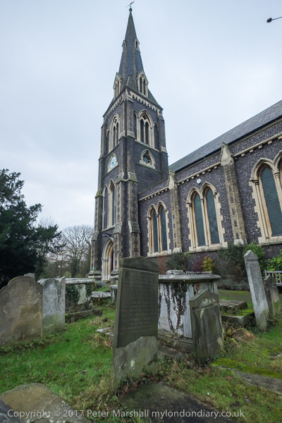
Things got more interesting again when we reached Hanworth Church, and early work of George Gilbert Scott who later called it ‘a mass of horrors’ and Brent Lodge Park, where I ignored the pleas of some of my cfo-walkers and led us firmly away from a tea-room – we were already and hour or so behind schedule if we were to finish the walk during daylight.

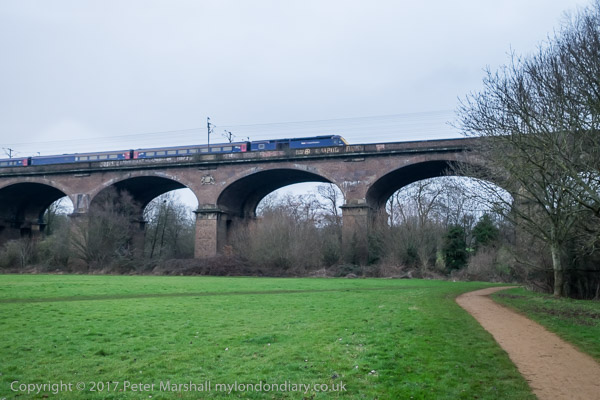
Brunel really knew how to build a viaduct, and here was the first major engineering work on the new Great Western Railway in 1836-7, with 8 semi-elliptical arches each of 70 ft span and rising 19 ft supported on hollow brick piers – the first time these were used in a railway viaduct. 886 ft long, the height to the parapet is 81 ft, and when built it was 30 ft wide to carry two broad gauge lines. Later it was widened to 55ft with a third pier added to each existing pair, and it could then take four standard gauge tracks, which were laid in 1892. We walked under this impressive structure beside the River Brent to the south side which is the earlier part and carries the arms of Lord Wharncliffe, chair of the committee that gave permission for the GWR.

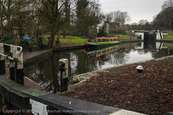
We continued by the Brent to join the Grand Union Canal, another earlier great engineering acheivement along with the rest of the canal system, at the Hanwell flight of locks. Our route now ran along the towpath, so navigation was simple, all the way to the Great West Road.

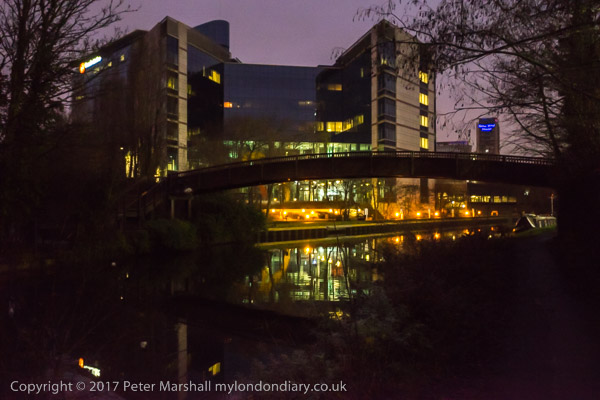
There was still just enough light to take a few photographs, but my companions were flagging and our walk was getting slower and slower.

By the time we reached the road for the short walk to Brentford Station it was truly dark and they had slowed to a snails pace, and despite my urging them to catch the next train we arrived there to see it just departing, for once dead on time, though we were an hour and a minute later then planned. It had been a good walk but would have been better without the 29 minutes wait there for the next train.

You can see many more pictures from the walk on My London Diary at New Years Eve Walk.