Protesting the London Olympics Bid: On Saturday 19th February 2005 I sent for a guided walk around the proposed Olympic site on Stratford Marsh and then joined others in a protest march through the area to Hackney Marshes which would also be affected.
The favourites for the games were Paris, and although public opinion in Britain largely backed the bid, there was rather less support by locals both because of the effects it would have on the area and the high coast which would mean an extra £20 per year on council tax.

Paris accused London of violating the rules but the decision was was made by a small majority in London’s favour.
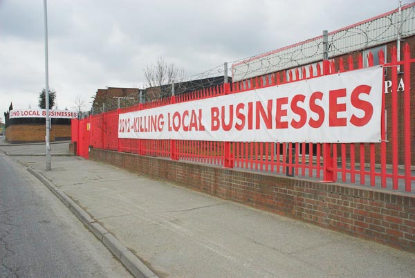
After the success of the bid in July 2005 there were fears around the rest of the country that the extra spending on the games would mean diverting funds for more necessary work away from the rest of the country – which it did.
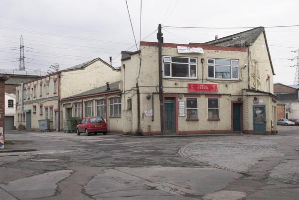
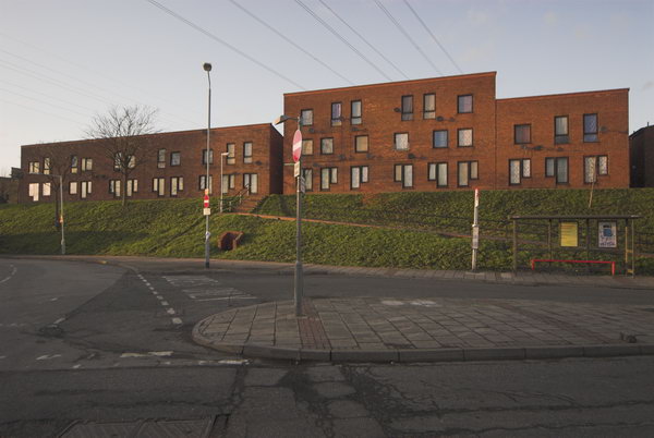
And locally many suffered from the disruption of the works over an extensive area – with local businesses and some residents being forced out of the area.
Here I’ll reproduce – with appropriate minor corrections – the article I wrote along with some of the pictures I took on the day.
Site Walk, Bow Back Rivers
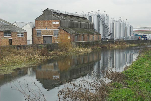
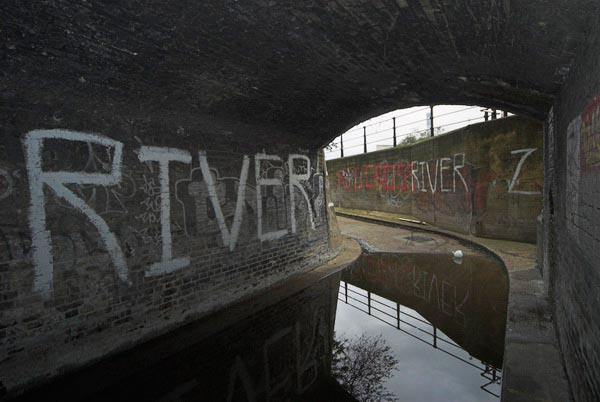
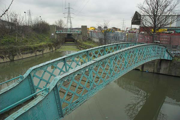
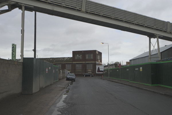
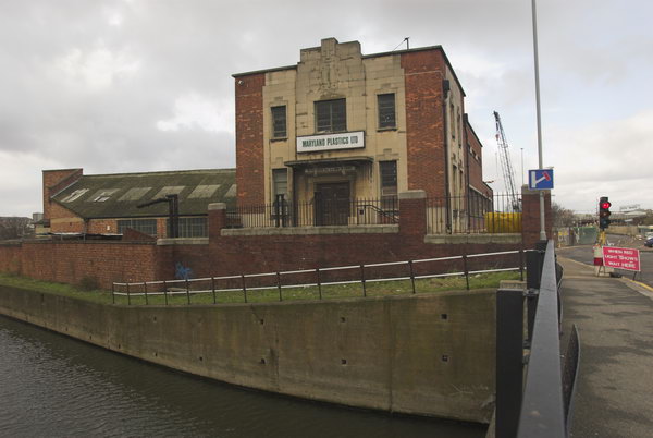
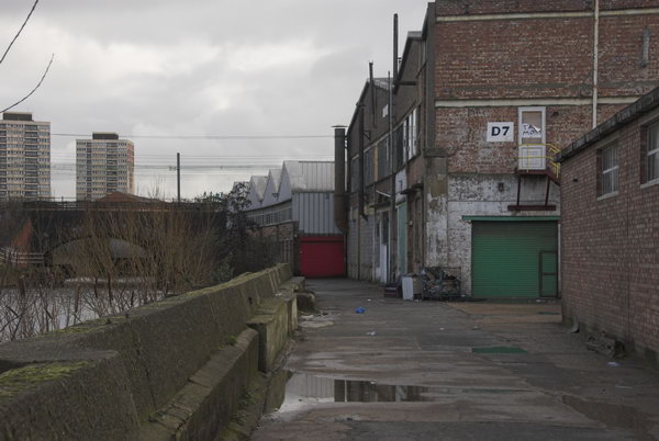
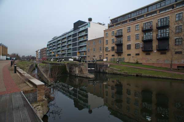
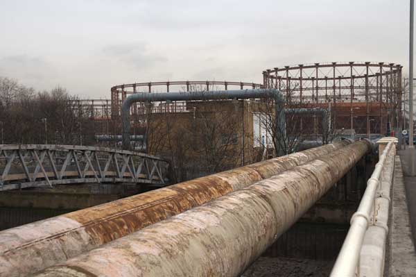
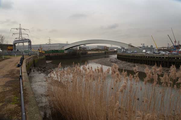
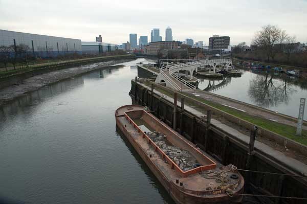
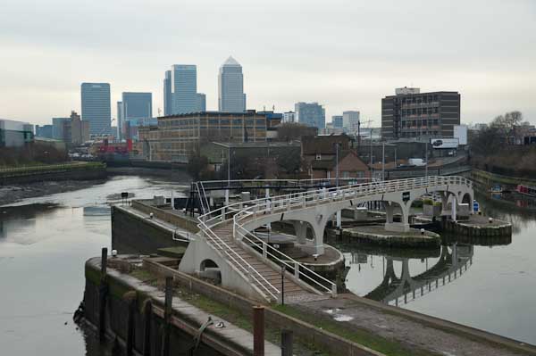
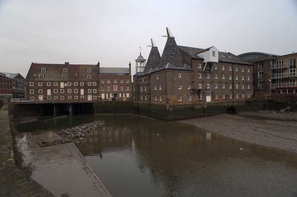
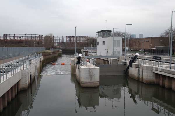
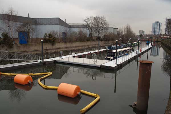
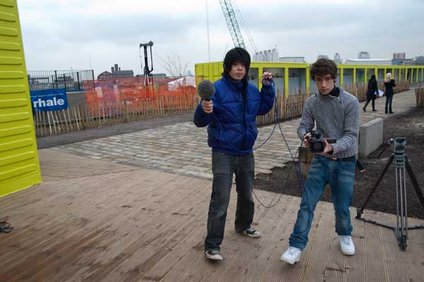
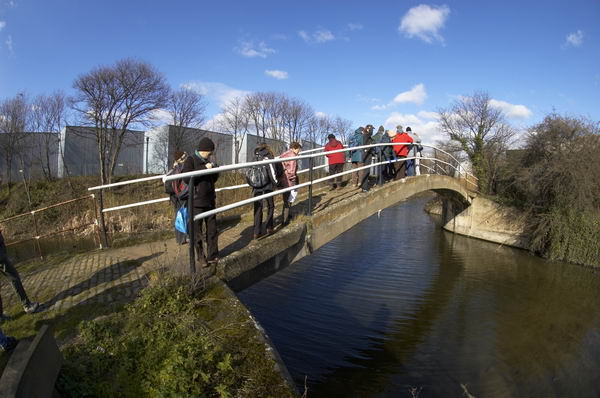
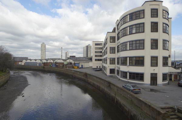
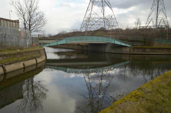
Saturday 19th February saw me in the Bow Back Rivers again, on another guided walk looking at the areas threatened by the London 2012 Olympic Bid. We walked along The Northern Outfall Sewer from Stratford High Road to Old Ford, then along the Old River Lea and back down the City Mill River.

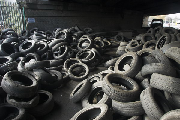
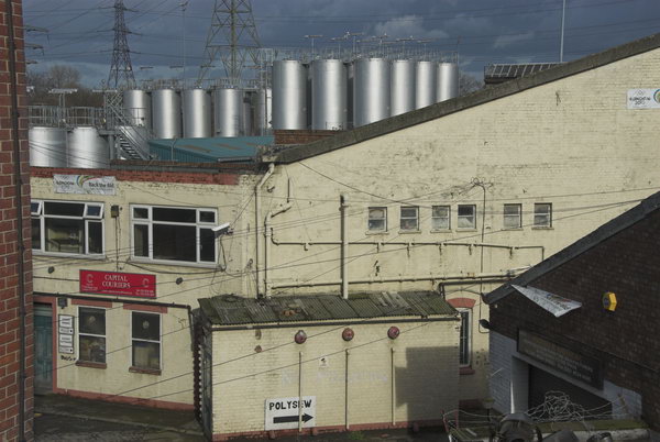
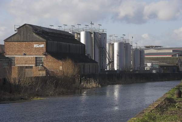
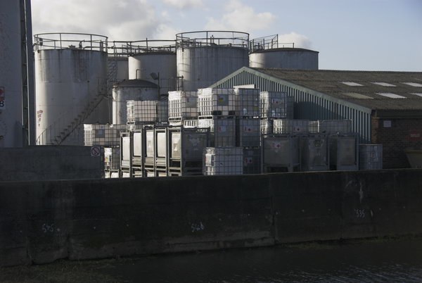
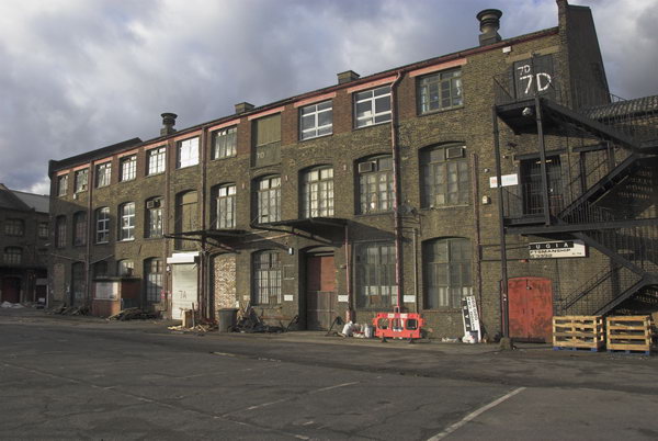
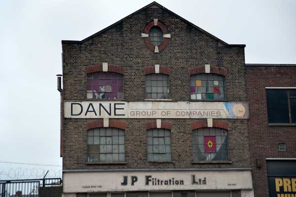
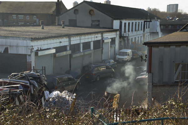
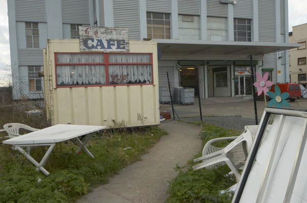
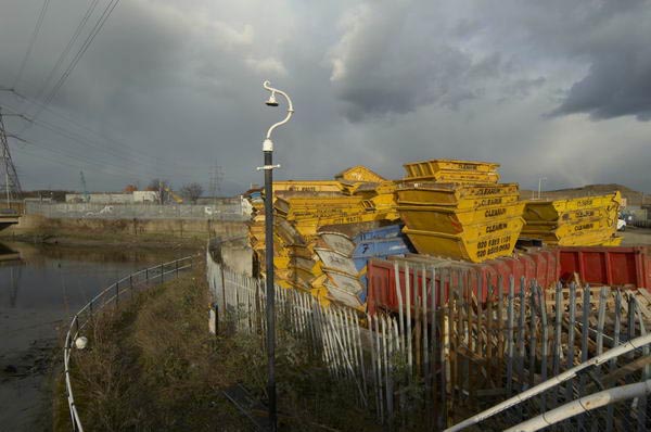
Traditionally an area for dirty industries on the east of the city, a health and safety hell-hole, now with plenty of derelict land, but still providing local jobs that will all disappear if the bid goes through.
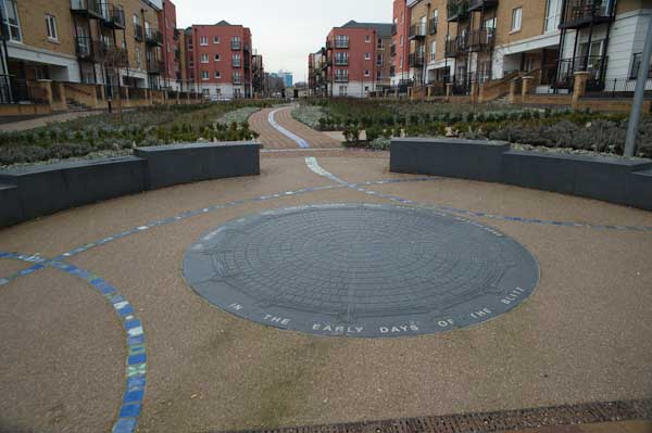
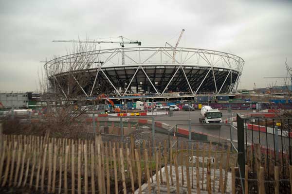
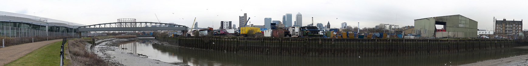
Much of the area will disappear under concrete, almost all redundant after the big event, with plans for its after use unpublished and unfunded.
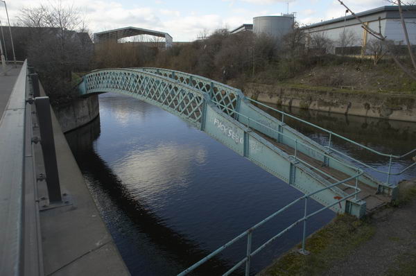
At the moment it’s a rich wildlife environment, but all that will go, and the tidal Bow Back Rivers are likely to be lost or severely altered.
If the bid goes ahead it will severely distort a regeneration that needs to be based on local needs and priorities, and the trumpeted increased investment will largely create unwanted facilities that will be future millstones.

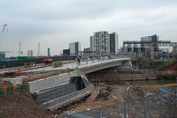
Not to mention the disruption over perhaps 15 years as the site is developed and then (if finances materialise) restored for use.
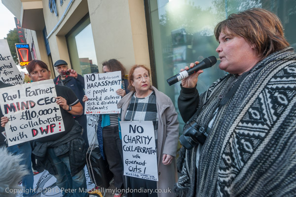
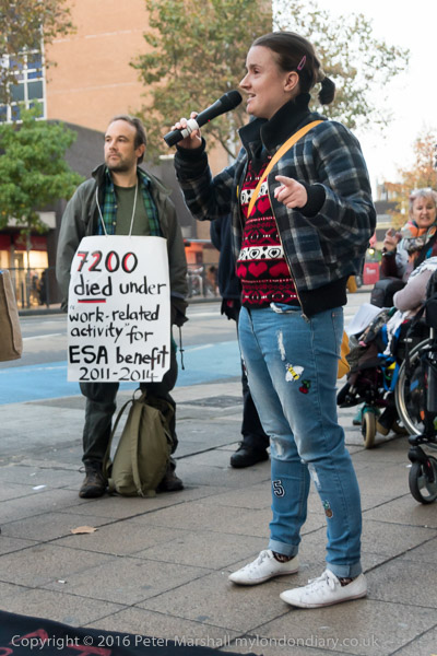
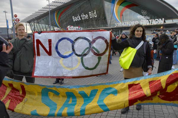
No London 2012 Olympics March
After the walk, we went to join the demonstration and protest march that was forming in Meridian Square outside Stratford Station. It wasn’t a huge event, with just over a hundred marchers, but I was surprised at the positive response from those hurrying by to catch trains or go shopping, many expressing support.
The march, on a bitter, dull afternoon, ended on Hackney Marshes, where considerable local sports facilities are due to be covered by car parks if the bid succeeds, with people playing games and a very spirited sack race.
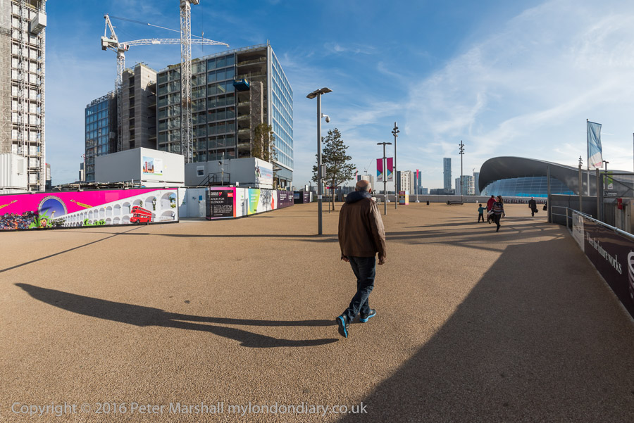
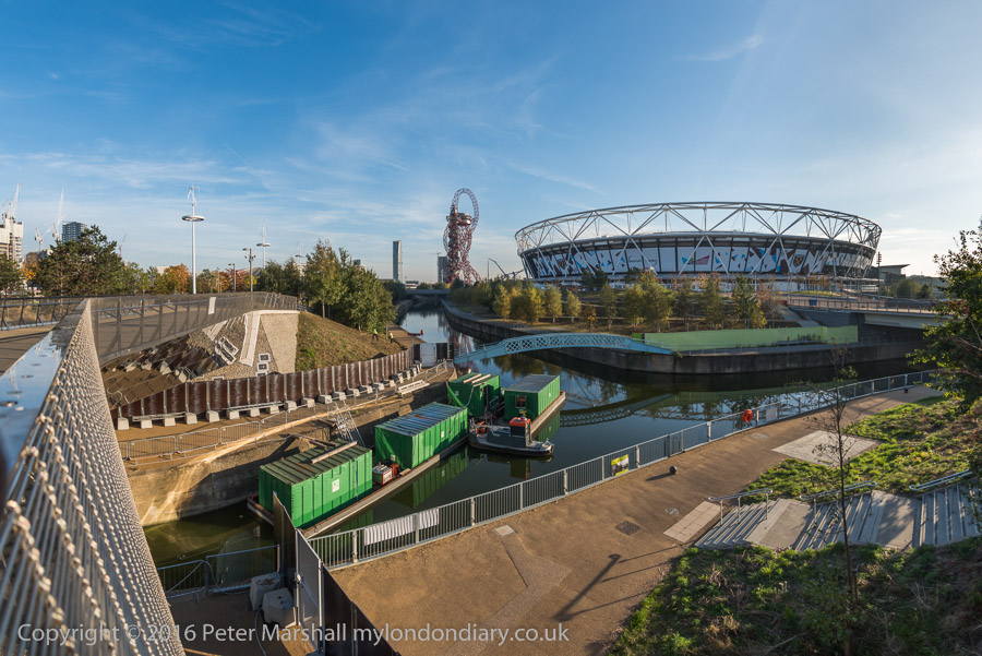
I walked back to Stratford, again through the Olympic site, crossing over the Lea at one of the locks and along the side of the Waterworks River, with often dramatic lighting and the occasional light flurry of snow.
You can see the 2005 post on My London Diary and also many more pictures from the day
Flickr – Facebook – My London Diary – Hull Photos – Lea Valley – Paris
London’s Industrial Heritage – London Photos
All photographs on this page are copyright © Peter Marshall.
Contact me to buy prints or licence to reproduce.