Chariot Festival, Plumstead & Woolwich: Sunday 28th June 2009 I photographed the Hare Krishna Chariot Festival from Hyde Park to Trafalgar Square then travelled to Plumstead Common for short visit to the annual Mela there. But I didn’t find much to interest me and instead took a walk down to the Thames at Thamesmead West and then back alongside the river to Woolwich. On My London Diary I wrote at some length about the walk, which turned out to be surprisingly interesting and about how I thought the area could be improved.
Sri Jagannatha Rathayatra Festival – Hyde Park to Trafalgar Square
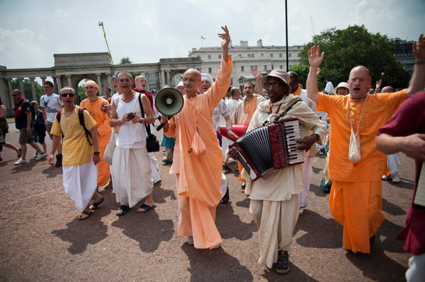
I didn’t write much about the chariot festival on My London Diary in 2009 as I had written at some length about it the previous year – and I won’t say much here either as I posted about the 2012 Rathayatra festival a few days ago.

In 2009 I concentrated mainly on the people rather than the chariots.
More pictures at Sri Jagannatha Rathayatra.
Plumstead & Woolwich – Plumstead, Thamesmead West, River Thames
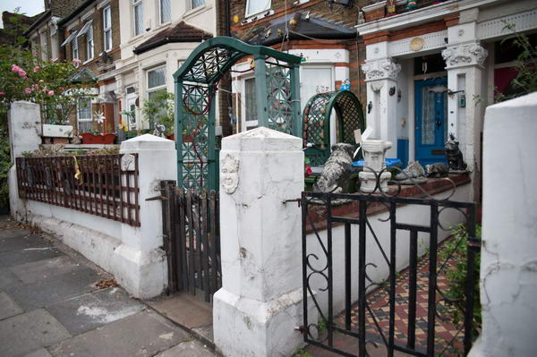
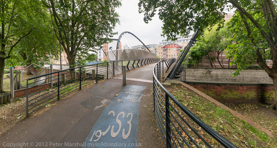
It was a long walk up the hill from Plumstead station to the common where the Mela is held and I arrived rather tired and was disappointed to find the the event seemed to be only just starting. But I’d stopped to take a few pictures on the way, and found several things of interest on the walk.
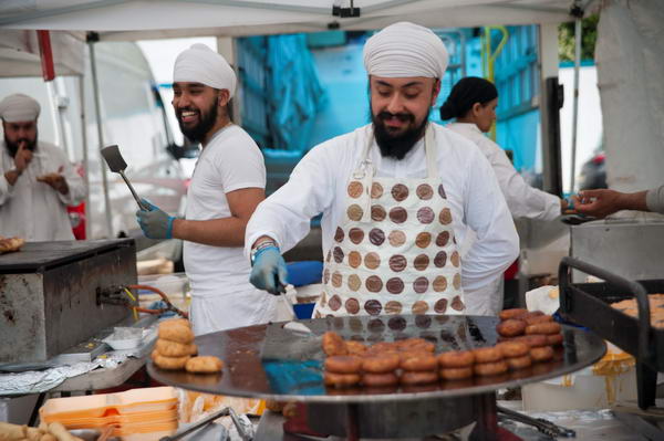
So after a short time at the Mela I decided it was too hot to wait around longer and to take a walk instead.
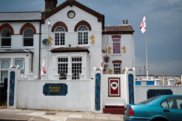
I walked down to Camelot Castle, home of self-proclaimed “celebrity gangster Dave Courtney“, who was made bankrupt in May 2009, owing £400,000 including an estimated £250,000 to HM Revenue & Customs.
Shouldn’t, I mused looking at the St Georges flags, patriots be pleased to pay taxes? I photographed the house and then onto the gates with a giant knuckleduster at their centre. Courtney also awarded himself a blue plaque with the text ‘Dave Courtney OBE lived here’ where the OBE stands for “One Big Ego”.
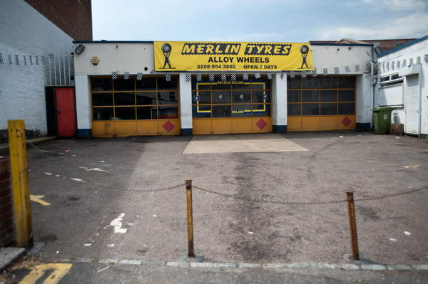
Soon after I came across Merlin Tyres. Is it coincidence that Merlin was one of the six main characters of Camelot?
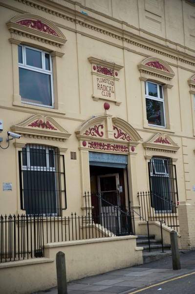
The Plumstead Radical Club is a working mens club formed by local Liberals who later became members of the Labour party, but most working mens clubs lost any real political connection, though they still sell cheap beer to members. From Plumstead I walked into Thamesmead.
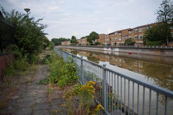
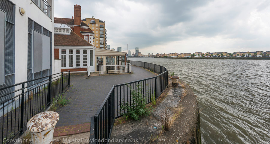
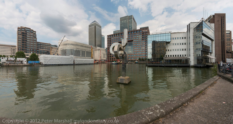
This part of Thamesmead West had failed to make good use of its location and what should have become a vibrant area at Broadwater was derelict and depressing.
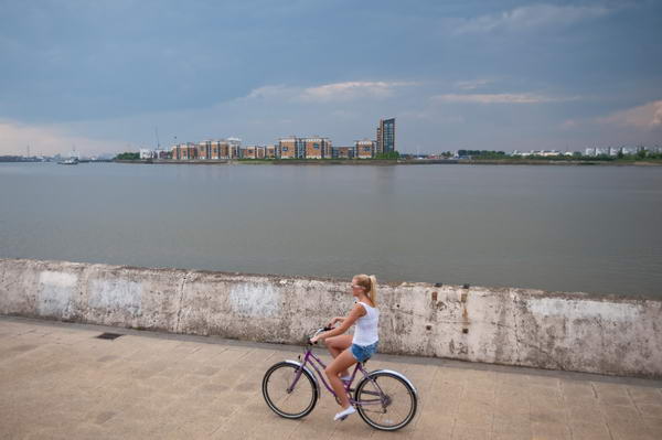
But soon I reached the Thames path and photographed this woman cycling along it with the recent flats of North Woolwich around a third of a mile away on the opposite bank of the wide river.
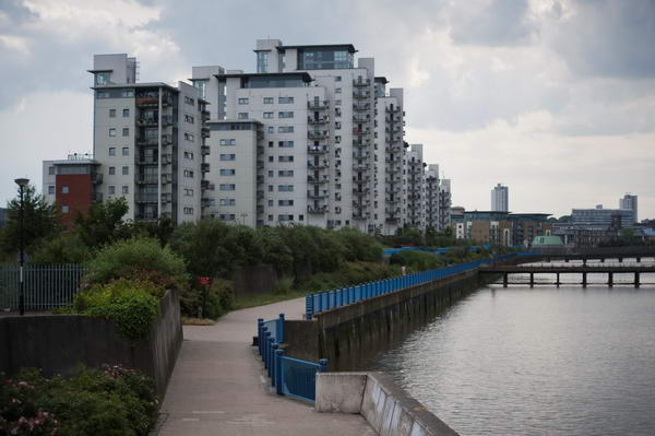
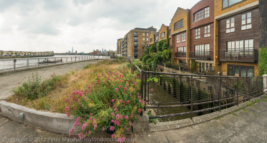
And there are plenty of new riverside flats on the south bank too, with residents enjoying riverside views. These flats are perhaps less of an eyesore than some.
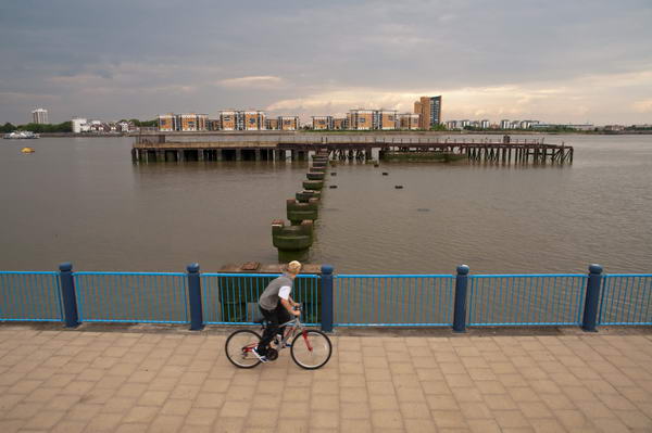
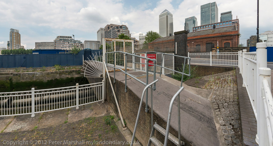
Woolwich Arsenal had three piers – this was the one in the middle, known as the Iron Pier, and you can see why from my picture. To the east was the Coal Pier, the lower parts of which still remain – built in 1917-20 it was used to bring in around 1500 tons of coal a week and is fenced off as a dangerous structure, The largest of the three piers, the T Pier has I think gone completely though there is now a Uber Boat pier.
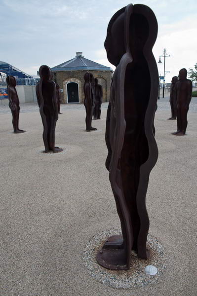
In the Woolwich Arsenal site I came across a group of aliens, ‘Assembly’ by Peter Burke (b1944) placed here in 2004. I stopped to photograph them before heading to Woolwich Arsenal station for a train.
More on My London Diary at Plumstead & Woolwich.
Flickr – Facebook – My London Diary – Hull Photos – Lea Valley – Paris
London’s Industrial Heritage – London Photos
All photographs on this page are copyright © Peter Marshall.
Contact me to buy prints or licence to reproduce.