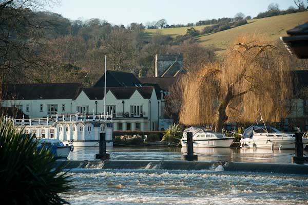
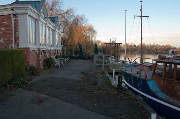
I grew up not far from the Thames, though rather more of my young days were spent playing in and around one of its tributaries, the River Crane both in the wilder areas of Hounslow Heath and to the north and in the rather tamer Crane Park, where I caught tiddlers, sticklebacks which were destined to die in jam jars, and learnt that small boys on bicycles were faster than irate whistle-blowing park keepers.
But the river was there, a formidable barrier protecting us in Middlesex from the wilds of Surrey, though we occasionally crossed it on bridges and ferries, perhaps to go to Kew Gardens in search of plant specimens. This was before the days of garden centres, and my father, a keen gardener carried scissors in his waistcoat pocket and would occasionally take a small cutting from gardens as we walked past or visited, or find seeds. Gardeners where we lived didn’t buy seeds – they saved them and swapped them with others.
And the Thames was the river where I learnt to swim, if only badly, with a paddling pool and a swimming area with a springboard in the riverside park, The Lammas. Later I learnt to row at Isleworth, in a heavyweight Sea Scout boat – and we swam there too, despite the filthy oily state of the mud and water.
Older and wiser I kept to the riverside paths, walking them both in Middlesex and Surrey and also out to the east of London, sometimes taking my family with me, but also on walks with other photographers and on my own. And when plans were being made in the 1980s for a Thames Walk I made a few suggestions on the proposed path of what in 1989 became the Thames Path.
Far more of the river in London is now accessible to the public than back in the 1970s and 80s when much of the riverside was still a working area, though many of the wharves were derelict. But as I found when I joined a small group led by a Tower Hamlets official with responsibility for footpaths, parts of the path on the north bank were still not always easy to access, with developers and residents erecting gates and barriers and making some parts appear private. Some years later The Guardian in 2015 published Privatised London: the Thames Path walk that resembles a prison corridor which showed that little had changed.
But like many others, my family has now walked the Thames Path, from the Thames Barrier at Charlton to the source in Gloucestershire, as well as some way to the east along both shores. Most of the path proper is readily accessible by public transport and can be done as a series of one-day walks, travelling and returning from from our home in Staines or from London. But for the final three days of walking we had to spend a couple of nights in hotels on the route.
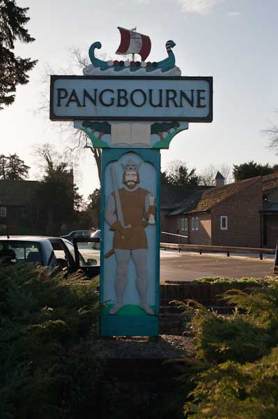
At the start of 2010, we spent both New Years Day and January 2nd walking two short sections of the walk, from Reading to Pangbourne on Friday 1st and returning to Pangbourne on the Saturday to walk to Cholsey. Both Cholsey and Pangbourne have stations with trains to Reading, so access was easy, although Cholsey station is over a mile from the Thames Path.
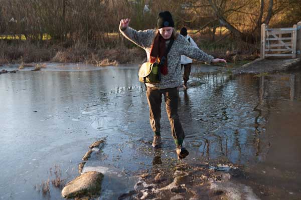
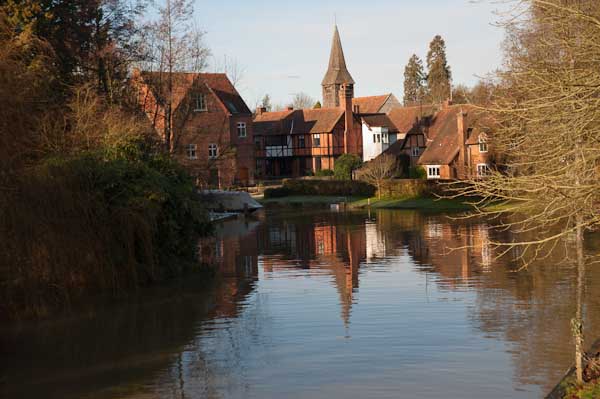
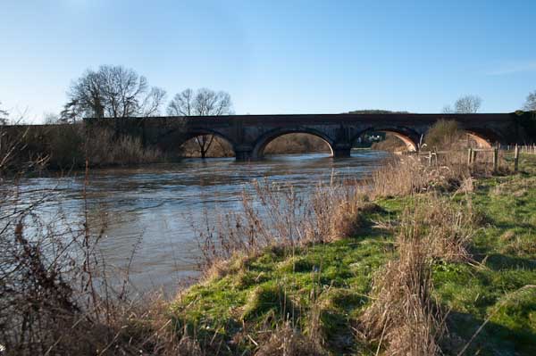
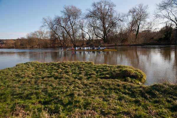
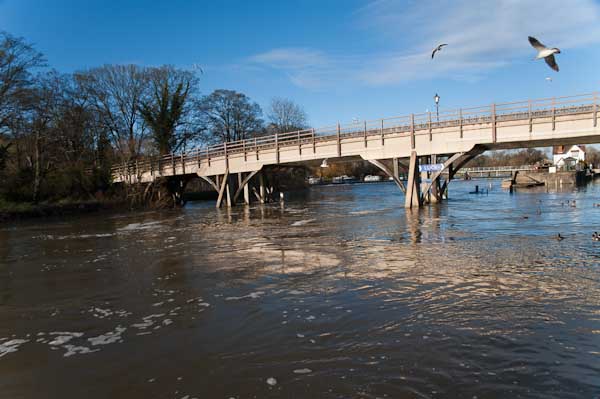
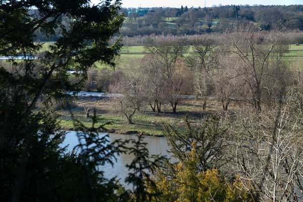
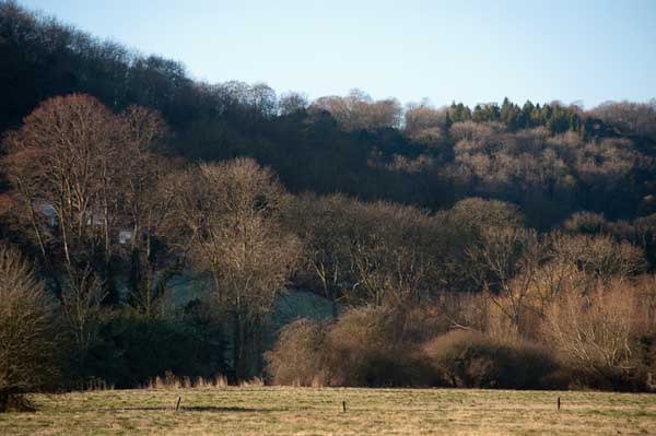
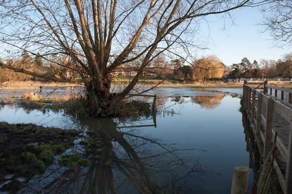
The pictures here are all from Saturday 2nd January, on what is perhaps the most scenic stretch of the Thames Path. It was a bitterly cold day, which was perhaps as well, as the parts of this section would have been very muddy and a little flooded. But the mud was frozen and most of the ice on the flooded parts was thick enough to take our weight. It was more pleasant walking across the ice than it would have been wading through the few inches of mud and freezing water, almost certainly just deep enough to overtop my walking boots.
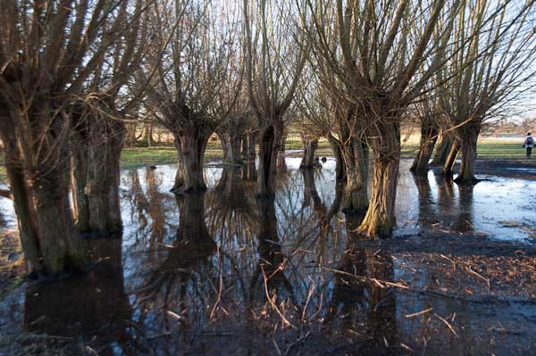
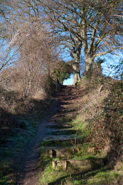
At the start of the walk from Pangbourne, after crossing the river the path climbs a little up a ridge, with occasional views through the trees across the valley. It then goes down to the riverside again, passing under one of Brunel’s fine brick bridges for the GWR to the Goring Gap, where the Thames runs between wooded hills. Goring itself is the kind of place I like to avoid, though I’m sure it has its charms, but I’ve always seen it as a kind of playground for the self-satisfied rich. We crossed the river to Streatley on the south side, a village owned by Oxford Brewery owners the Morrell family until they sold it in in 1938. They had protected it from development.
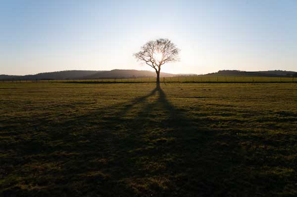
It was here that we found the worst flooding on the path, and almost took one look at a gate leading on to a lake and turned round – we could have ended our walk here and returned to Reading from Goring station. But eventually we decided the water couldn’t be too deep and perhaps the ice might hold our weight and we went on. I think we all got wet feet.
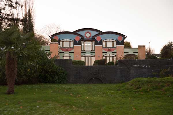
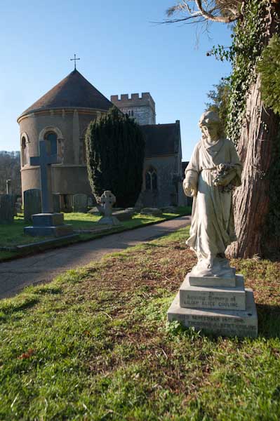
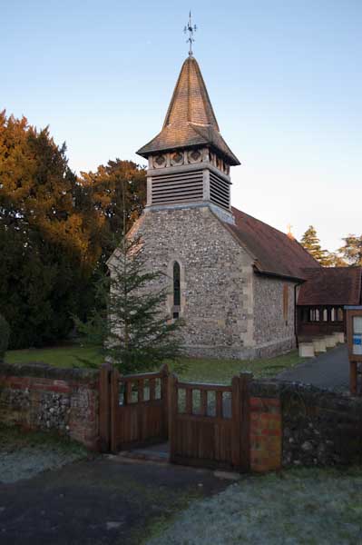
There were more icy bits on the rest of the walk, but nothing quite so bad, and we continued our walk along the Thames Path. Unfortunately at Moulsford the path leaves the river – the towpath switches to the opposite bank, and although this is a Ferry Lane, the ferries are long gone. Moulsford would be a pleasant enough village were it not on the A329, and the one kilometre trek along this relatively busy road was tedious, though we did make a short diversion to see the parish church.
Our walk along the Thames Path ended when this left the road to return to the river, but we had further to go before turning off onto a footpath on our way to Cholsey station, adding another mile to our walk.
More on My London Diary at Thames Path including our walk on the previous day from Reading to Pangbourne.
