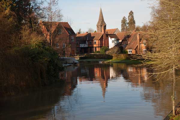
Thames Path – Pangbourne – Cholsey: At the start of 2010 we were still walking sections of the Thames Path. On New Years Day we had walked from Reading to Pangbourne, and on the following day caught the train back to Pangbourne to begin our day’s journey there.
We were heading to Cholsey, around 8 miles away, an easy distance suitable for a short day with over an hour’s rail travel at each end. Cholsey is a small village and has a railway station a little over a mile from the Thames Path with trains back to Reading from where trains run – if rather slowly – back to Staines.
Pangbourne is a much larger village, and its station is a short walk from where we joined the Thames Path, and there were a few shops where we could buy some crisps and sweets to supplement the sandwiches in our bags and even a public toilet, so a very useful place to start a walk.
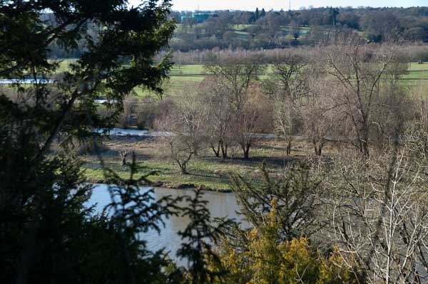
Before our walk really started we spent a little time in Pangbourne, visiting the parish church and photographing the Pang before rejoining the Thames Path at Whitchurch Bridge. Crossing the bridge takes you to Whitchurch, perhaps a prettier village than Pangbourne. Here the path takes quite a long detour away from the river bank and up on a hillside, with some extensive views through trees of the river and country to the south, before going back down to the riverside.
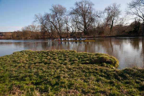
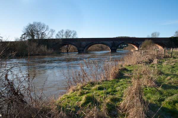
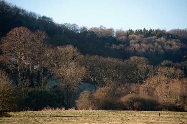
The railway line crosses the path and the river at Gatehampton Bridge, built by Brunel for the GWR main line in 1838 but the path stays on the north bank, passing between the tree-covered slopes of the Goring Gap, where the river cut through to seperate the Chilterns from the Berkshire Downs. Winter sun on the leafless bare branches was magical.
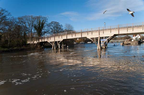
The bridge linking Goring on the north bank with Streatley on the south seems a rather primitive and temporary wooden structure, but has been here since 1923 when it replace the earlier bridge from 1837. Before then there had been both a ferry and a ford, though this was probably more often passable on horseback than on foot. It takes two bridges to reach Streatley from where the Thames Path proceeds westward on the south bank.
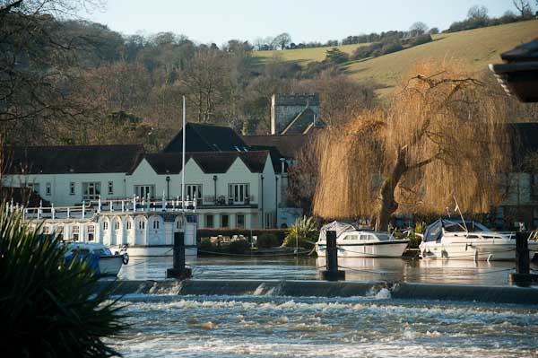
At Streatley, a village until 1938 owned by the Oxfordshire brewers Morrell we visited the church and then set out on a partly underwater path by the river. December 2009 had been one of the wettest months on record and we began to doubt the wisdom of We thought about turning back and abandoning the walk, taking a train from Goring, but after seeing a walker paddle through towards us decided to continue.
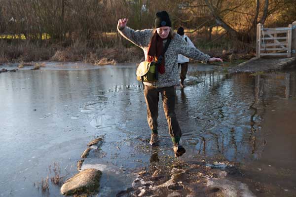
Fortunately it was only a few inches deep, but despite our boots I think we all got wet feet. The day was around freezing, but walking kept our feet warm, and many of the smaller puddles along the rest of our route were frozen over, as well as the mud, and it was much easier to walk than had it been warmer.
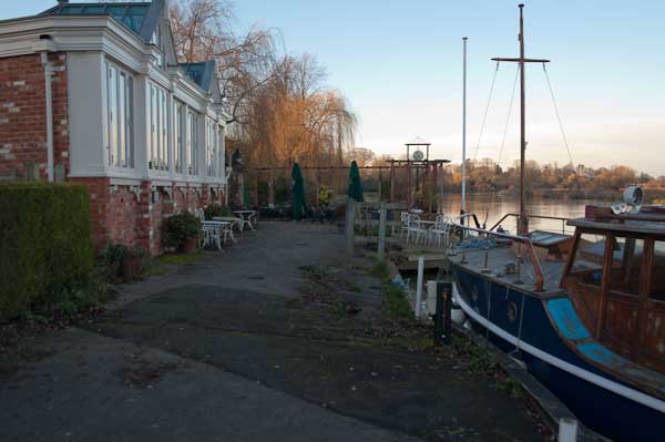
A little further on the tow path moves from the south to the north bank, not a great problem in the past for craft being towed who could pole over to the other side, but more so for walkers, who need to take a path away from the river and along a main road for a mile or so leaving the path were it went down towards the Moulsford railway bridge and continuing to a footpath beside the railway to Cholsey station.
More pictures from this walk at Pangbourne – Cholsey and more from the previous day’s walk at Reading – Pangbourne. You can read my original post at Thames Path.