More From Wandsworth: My walk on Sunday 4th March 1990 had begun at Clapham Junction in Battersea with St John’s Road & East Hill, Battersea and I had continued into Wandsworth with the post Mont Nod and Old York Road – Wandsworth 1990, ending with a view of York Road from the platform of Wandswoth Town Station.

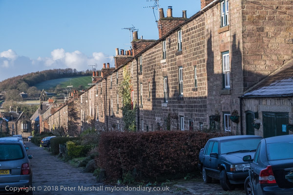
I didn’t catch a train but came back down the stairs and on to York Road walking west along it. The Wandsworth Tyre Service was on the corner with Tonsley Hill and was one of many shops along the York Road, a kind of minor high street. There are still shops, but their character has changed greatly; this is now Pad Thai Story, the first of three authentic Thai restaurants set up by three Thai friends, here and in Battersea and Hammersmith and apparently highly recommended with, for London, reasonable prices. Back in 1990 I think the culinary peak of Old York Road was probably a fish and chip shop.
Next door, in what was then a doctor’s surgery is now a florist; there are a variety of other food outlets as well as several estate agents and a few more useful shops in a a fairly typical gentrified street.
According to various estate agents, this area, sometimes know as Tonsley for the several streets including this name, is one of Wandsworth’s most sought-after locations. An informative blog tells me “Tonsley Hall, the residence of Sir Richard Blackmore, the physician and poet who died in 1729… was pulled down in about the middle of the nineteenth century” but I cannot find why the house was given the name Tonsley.

I walked down to Fairfield Street – the fair field was in the area to the north of Old York Road. Merrie England in the Olden Time published in 1841 states:
 "Wandsworth Fair exhibited sixty years ago Mount Vesuvius,
 or the burning mountain by moonlight, rope, and hornpipe-
 dancing; a forest, with the humours of lion-catching;
 tumbling by the young Polander from Sadler's Wells; several
 diverting comic songs; a humorous dialogue between Mr.
 Swatehall and his wife; sparring matches; the Siege of
 Belgrade, &c. all for three-penee!

 On Whit-Monday, 1840, Messrs. Nelson and Lee sent down a
 theatrical caravan to Wandsworth Fair, and were moderately
 remunerated. But the “Grand Victoria Booth” was the rallying
 point of attraction. Its refectory was worthy of the
 ubiquitous Mr. Epps—of ham, beef, tongue, polony, portable
 soup, and sheep's trotter memory!

 Cold beef and ham, hot ribs of lamb, mock-turtle soup that's
 portable,

 Did blow, with stout, their jackets out, and made the folks
 comfortable!"
But this was perhaps one of the last days of the fair.
The pub is still open and is Grade II listed public house described as an early/mid-19th Century building and so was probably there in the closing years of the fair a few yards away.

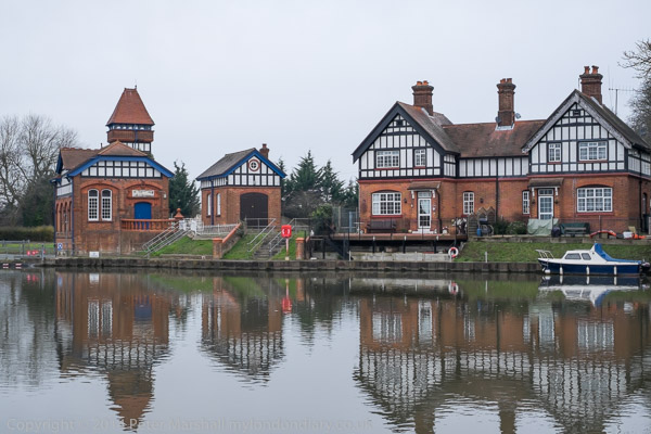
According to the Wandle Industrial Museum, the Wandsworth Gas Company was established at a meeting at the the Spread Eagle Inn in Wandsworth in 1834 and was producing gas by the following year. By the 1920s it had grown into one of the largest London Gas companies, with coal being brought in barges to the canal basin close to the mouth of the Wandle. From 1906 colliers delivered coal to it on the Thames and the company produced some of the cheapest gas in London – making it particularly popular with balloonists.
At nationalisation in 1949 the company supplied an area of 160 square miles and had a fleet of six upriver colliers bringing over half a million tons of coal a year. Gas production ceased in 1970, but the gas holder continued in use for storage for many years.

Estate agents variously describe this building as being built between 1930 and 1949 or 1967 to 1975, but whatever its date of completion it was built in a 1930s Streamline Moderne style as my picture shows. Its a style which has attracted a large degree of architectural snobbery over the years, including in the great Pevsner Buildings of England series. I suspect it probably dates from the post-war rebuilding of Wandsworth, but would welcome correction.

By contrast, the to my mind rather pedestrian Wandworth Town Hall is both Grade II listed and described in detail in the listing and on other web sites. I think the architectural details are of far more interest than the overall building, built in 1935-7 to the designs of Edward A Hunt. I turned away to the east and didn’t then photograph the south side of the building on Wandsworth High Street, perhaps the buildings more interesting aspect with a fine “bas relief frieze depicting events in Wandsworth’s history by David Evans and John Linehan.”

One of the main Tonsley streets, this had a particular interest for me, as although there are many Peter Marshalls, some rather more famous than me, this was possibly the first time I had been greeted by my initials when walking the streets of London. So far as I am aware this P G Marshall was no relative. But the business ‘Purpose Made Joinery‘ also had some resonance – among his many trades, before my father became self-employed he had worked as a joiner around 1920 when motor vehicle bodies were still often made of wood.
Of course the coincidence of initials was not the only reason I stopped to take this picture. The railings with their spears beside the steps and the jagged edge above the side gate also appealed.

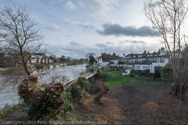
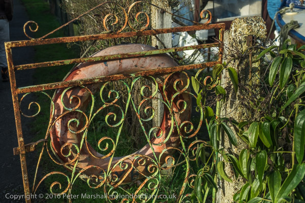
I crossed East Hill and went down Geraldine Road admiring the brickwork and decoration of the house on the corner (my photo not digitised) which I think was then home to the probation service. I think this wrought iron gate was on the detached house on the corner of Eglantine Road which now has a rather different but still attractive fence and gate and the veranda with slim iron columns.

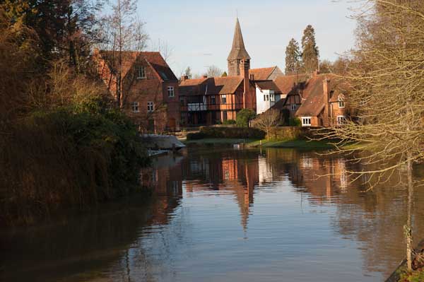
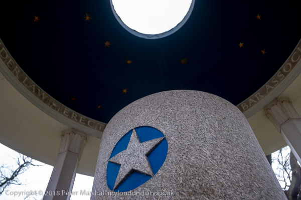
On the corner of Geraldine Road and Rosehill Road I found this row of harshly pollarded trees stretching down the road with the tall thin Greek Revival tower of Robert Smirke’s Grade II* listed St Anne’s Church, Wandsworth in the distance down Rosehill Road.
My next post about this walk will begin with two more pictures of this church.
Flickr – Facebook – My London Diary – Hull Photos – Lea Valley – Paris
London’s Industrial Heritage – London Photos
All photographs on this page are copyright © Peter Marshall.
Contact me to buy prints or licence to reproduce.