More London
I’d first met the young mothers facing eviction from the Focus E15 hostel in Stratford around a month earlier when I had gone with them into the offices of East Thames Housing Association to occupy the show flat there and hold a party in protest against the threat of being evicted from their nearby hostel because Newham Council had decided to cut its funding.

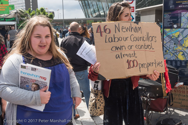
Newham Council seemed clearly to be failing these mothers and children and were trying to move them away from Newham into private rented accommodation, sometimes hundreds of miles away from their friends, families, colleges, nurseries and support networks in Newham in order to evade their responsibility for them.
Clearly the council, then led by Newham Mayor Robin Wales, had not expected these young women to put up much if any fight against this unjust treatment, but the Focus E15 women were determined not to move away from London. Their continued protests, always powerful and colourful attracted media coverage and made their case into a national scandal, and they revealed the serious mismanagement of the council.

Stratford was at the centre of a housing boom, particularly around the former 2012 Olympic site but this was largely for private sale, which many flats being bought up by investors, many from abroad wanting to cash in on London’s housing price boom, despite Newham having the highest waiting list for social housing in London.

Focus E15 and others pointed to the Carpenters Estate, a well-designed and highly popular council estate in a highly desirable location next to Stratford Station and the Olympic site where there were large numbers of empty flats and houses – some having been left empty for 10 years. Rather than seeing this as successful housing for the people of the borough, the council had regarded it as an asset to be sold off.

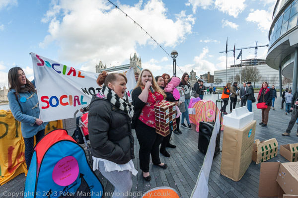
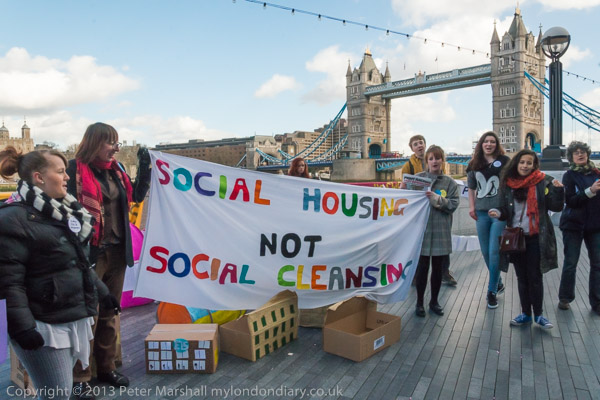
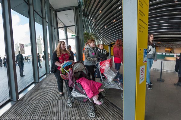
In February 2014 the mothers and children were still all living in the Focus E15 Mother and Baby Unit despite having been served eviction orders the previous October – East Thames had promised they would not be forced out until they had alternative accomodation. And they hired an open-top bus to bring themselves to City Hall.
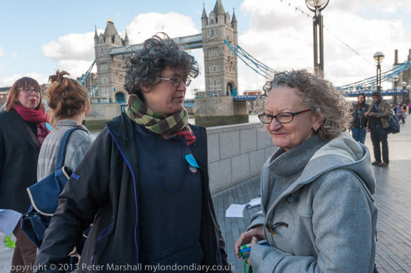
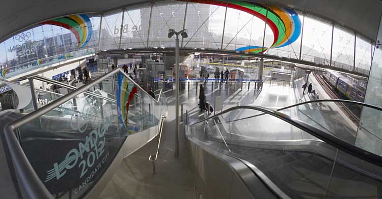
City Hall has now moved out to the Royal Docks, but in 2014 was in an unusually shaped Norman Foster building on Queens Walk next to the Thames on the privately More London office development owned by the Kuwaiti sovereign wealth fund (Ken Livingstone called it a ‘glass testicle’.) And although Focus E15 were allowed to protest by the security there, they were told they must not hand out leaflets. And no one at City Hall was prepared to accept the card the mothers signed for Boris Johnson.

Their protests did result in them being rehoused in London, but the women didn’t stop there, developing into a ‘Housing For All’ protest, including an occupation of empty flats on the Carpenters Estate which achieved national news coverage. Locally they fought for others, going with them into Newham’s housing office and demanding the council meet its legal requirements and also stopping evictions.
They set up a housing advice and support stall every Saturday on Stratford Broadway and more. I’m sure that it was due to their activities that eventually the local Labour party turned against Robin Wales, getting rid of him.

Their Focus E15 campaign, still continuing and still demanding ‘social housing, not social cleansing!’ became the most effective housing campaign in the country. I’m pleased to have been able to give them some support.
The pictures on this post are all from Friday 21st February 2014 and there are more together with the text I wrote in 2014 at Focus E15 Mums at City Hall.
Flickr – Facebook – My London Diary – Hull Photos – Lea Valley – Paris
London’s Industrial Heritage – London Photos
All photographs on this page are copyright © Peter Marshall.
Contact me to buy prints or licence to reproduce.