I spent a long day in July 1994 travelling up and down the recently opened Beckton Extension, taking some pictures from the trains but also getting off at every station and explouring the area around the stations, sometimes at some length. The previous set of pictures, DLR – Beckton Extension – 1994, began from around the end of the line at Beckton, and these images start with those from a walk from the next station along, Gallions Reach.
In the 2000s there was a plan to extend the DLR from here to Dagenham Dock, but these were cancelled in 2008; now plans have been approved for an extension to a Beckton Riverside station and on under the Thames to Thamesmead.

From the Gallions roundabout you can go north and south along Woolwich Manor Way or take the more recent roads, Royal Albert Way, Royal Docks Road and Atlantis Avenue. My picture was made from Woolwich Manor Way looking roughly north. In the centre of the roundabout is a pumping station, which I think is a 16-sided building, though I always lose count. On top in its centre is a small 8 sided pimple. Locally listed, it was built for Thames Water in 1974.

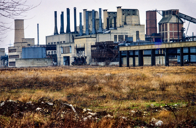
Beckton Gas Works were built on the East Ham Levels from 1868-1870 by the Gas Light and Coke Company which had been founded in 1812 by Frederick Albert Winsor and was not only the UK’s first gas company but the first public gas company in the world. It was for some years the largest gas works in Europe and until 1969 produced gas for industry and homes across much of East London.
The site was named Beckton after then company chairman Simon Adams Beck and covered a huge of 550 acres. As well as giving room for the huge works, its site on the Thames well to the east of London meant that larger colliers could bring coal to it than to the gas works closer to the city.
As well as town gas, the site also contained the Beckton Product Works which became the largest UK manufacture of tar and ammonia by-products. Beckton was a huge local employer, providing jobs for as many as 10,000 men.
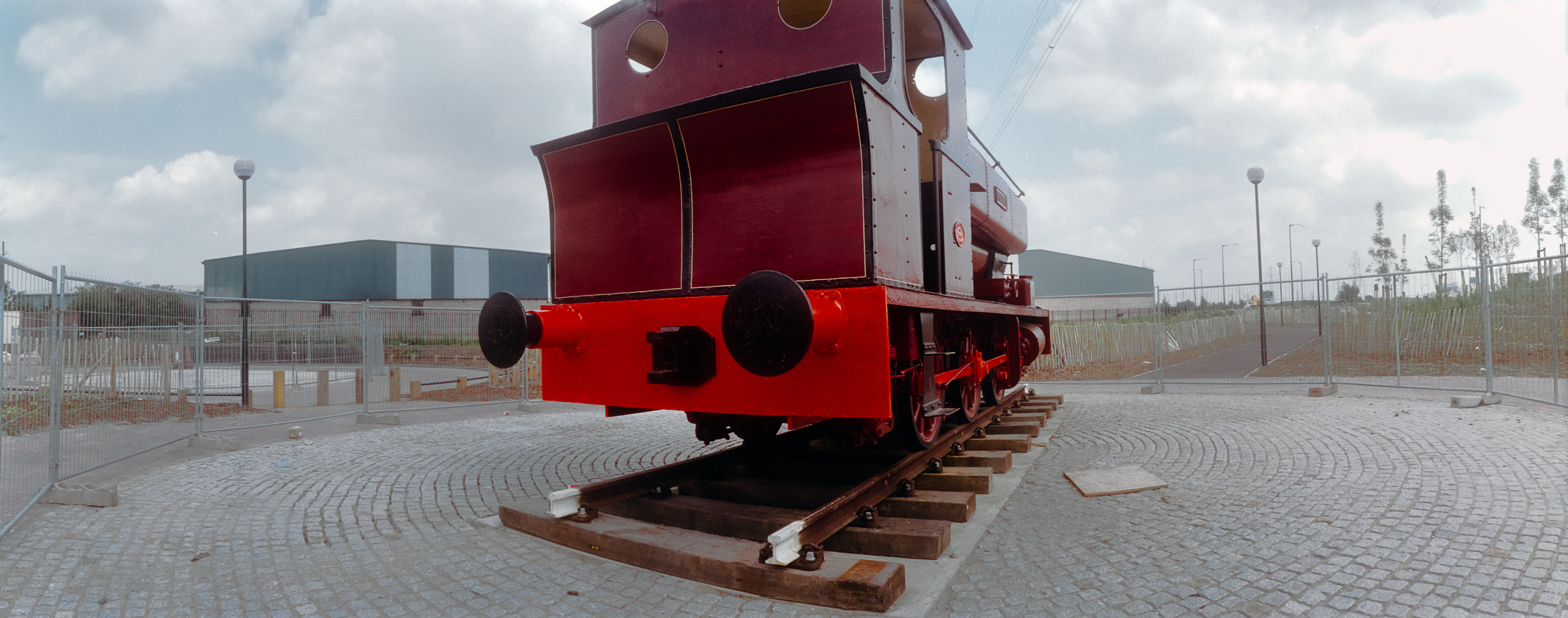
For many years after it closure the site remained derelict and was used in a number of films, most notably Stanley Kubrick’s Vietnam War film ‘Full Metal Jacket’. Back in 1994 there was little left on the site which is now largely a retail park.
I’d taken a few pictures in the area in black and white and colour ten years earlier when more of the works where still there – such as this one:
[If you open the image you can browse a few more on Flickr.]

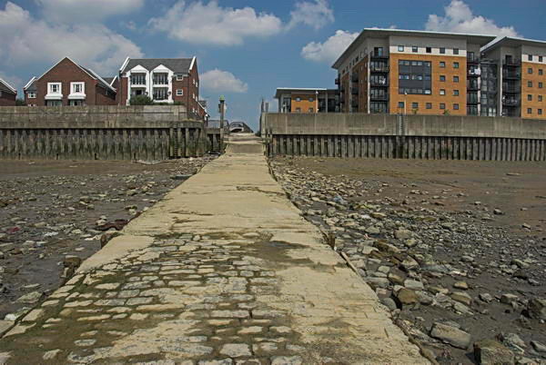
A view made from underneath Gallions Reach Station looking roughly north-east towards the former gas works site.

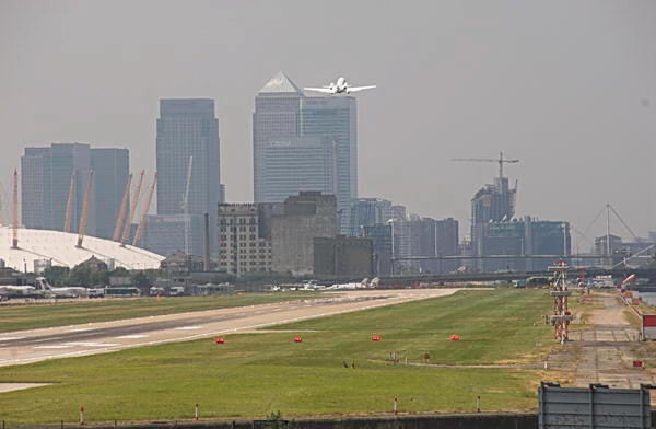
I went up to the station platform and made this picture as I waited for a train to arrive. At right you can see the Thames Water pumping station in the middle of the Gallions roundabout. On the left others waiting on the platform can be seen in a mirror. Beyond that is the Royal Albert Dock and in the distance the hills on the other side of the Thames. In the sky is a plane shortly after take-off from London City Airport.

I can’t remember if I got off the train first at Cyprus station or continued directly to the next stop, Beckton Park. The two stations are fairly similar and both are in the centre of roundabouts in the Royal Albert Way, built for the LDDC and opened in 1990.

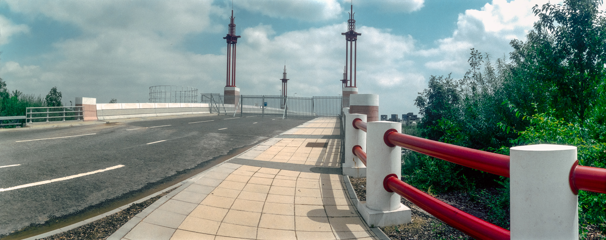
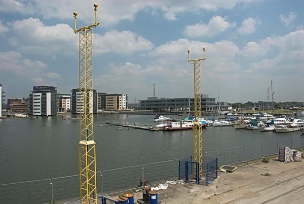
I got back on a train to go to the next stop on the line, Royal Albert, where I took a walk around the area beside Royal Albert Dock dock, making this picture from its west end looking east down the dock. In the distance is a DLR train approaching and to the left is the road leading the the Connaught Bridge. I think the brick structure at left of picture is a ventilator for the railway tunnel below.

I made this from a temporary footpath across the channel between the Royal Victoria and Royal Albert Docks a few yards to the west of the Connaught Bridge. Under the bridge is the full 1.75 miles of the Royal Albert Dock, built in 1875-80 and opened by the Duke of Connaught. The dock finally closed to commercial traffic in 1981.
In 1984 I got permission to go onto the site and photograph the remaining buildings – virtually all now demolished. They had no great architectural value but were an important part of London’s history. You can see some of the black and white pictures I took in the book The Deserted Royals – there is a good preview with over 40 pictures on the website and the PDF version is reasonably priced – and rather more, including colour work on Flickr – in the two albums 1984 London Photographs and 1984 Docklands Colour.
More Docklands colour from 1994 in my next post in this series.
Flickr – Facebook – My London Diary – Hull Photos – Lea Valley – Paris
London’s Industrial Heritage – London Photos
All photographs on this page are copyright © Peter Marshall.
Contact me to buy prints or licence to reproduce.