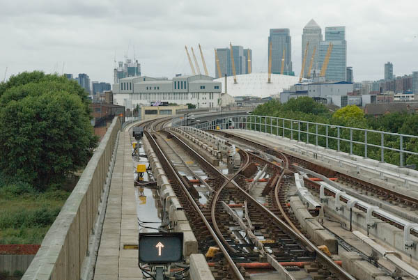
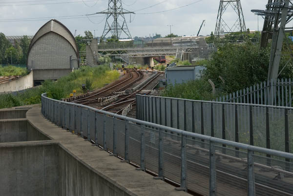
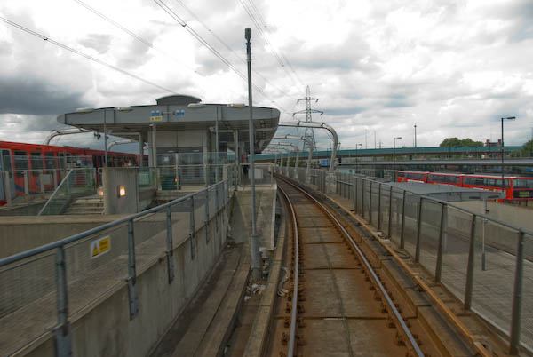
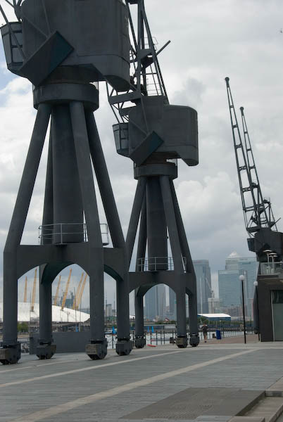
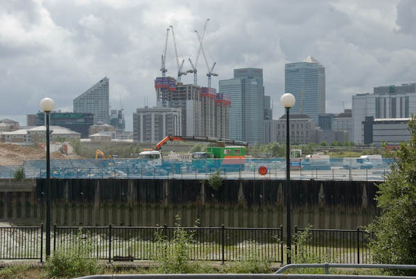
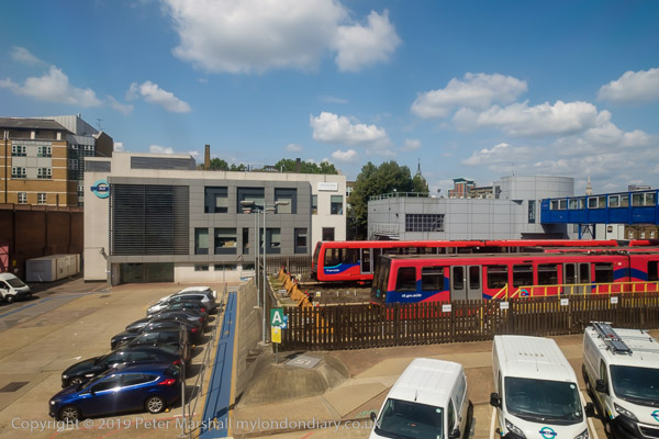
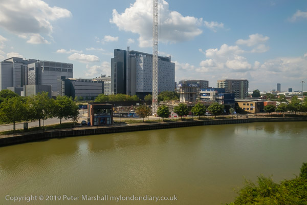
Take the DLR from Pontoon Dock to East India Station. [There is now a train every 10 minutes during normal hours.]
From the platform level you get good views, both through the windows and at each end of the long platform, of the Park, Barrier Point, Royal Victoria Dock and elsewhere.
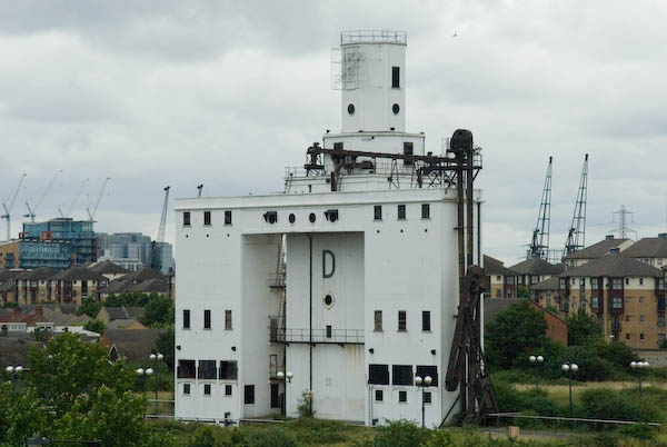
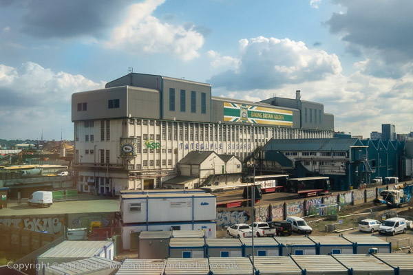
Listed Grain silo at Pontoon Dock
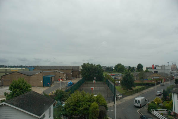
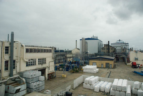
The train journey provides some of the best views of the riverside properties in this area, which otherwise are often impossible to access. It also gives a rapid overview of an area that is time-consuming to access on foot.
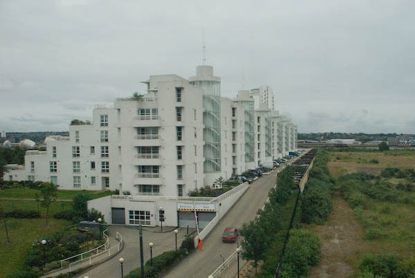
Barrier Point from the DLR
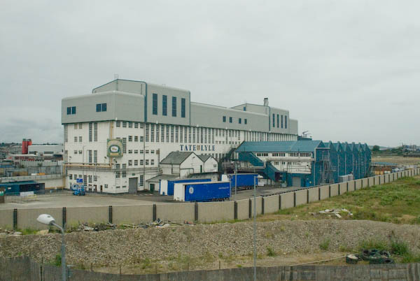
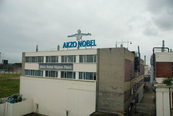
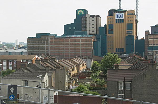
You should have no problem in identifying one of the Tate & Lyle buildings on the route, as well as Akzo Nobel, although you may recognise some of their brand-names – such as Crown, Bergger and International Paints, Sandtex and Sadolin – more easily. [I think only the Tate & Lyle Plaistow Wharf factory remains. Much was demolished to build Royal Wharf, as well as to the west of Plaistow Wharf where the land now remains empty.]
Lyle Park from the DLR
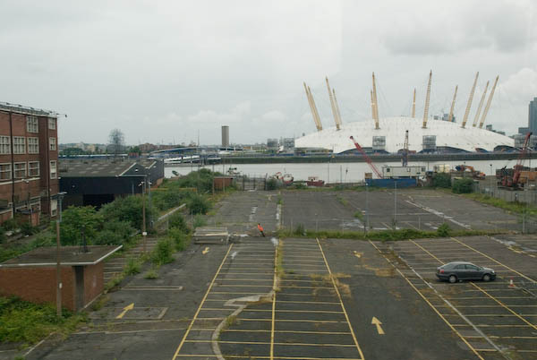
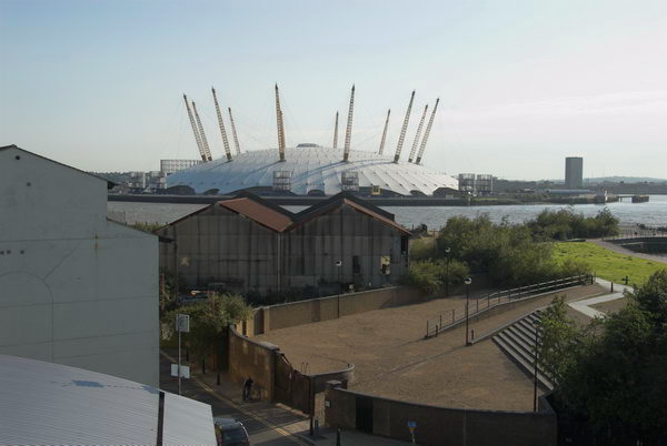
From the train you can also see the mouth of the River Lea and Trinity Buoy Wharf with its lighthouse and stack of containers in use as artists studios, as well of course as the Millennium Dome.
After Canning Town station, the line curves around the River Lea and climbs through the ecological reserve at Bow Creek and over the viaduct across Bow Creek. This section of the DLR was built in 1994 for the Becton extension.
From East India you have the choice continuing on the DLR towards the centre of London (change at Poplar for the DLR to Canary Wharf and the Jubilee Line), or taking a journey back to Canning Town.
If you have time and energy for a further walk, go north out of the station onto East India Dock Road and after crossing Bow Creek follow the path beside the creek to go over the Lower Lea Crossing. Again this elevated bridge gives good views across the Thames and Bow Creek to the south. [Now you can if you wish take a short cut by going out of the Bow Creek exit of the station, across the red bridge and through London City Island to the Lower Lea Crossing.]
Leamouth, Thames & Millennium Dome, 2009
When the bridge descends to a roundabout under the Silvertown Viaduct, you can either continue under it to Royal Victoria Station, or cross the road just before the roundabout and take the steps up to the top of the viaduct and walk to Canning Town station.
An elevated section of the Docklands Light Railway runs along the south side of North Woolwich Road. Opened in 2006, it currently runs to King George V station in North Woolwich, but tunnelling is in progress to take it under the Thames to Woolwich. [It opened in 2009]
DLR under construction from Silvertown Way – 2004.
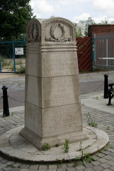
Turn left and walk east along North Woolwich Road; roughly 100 meters on is a site entrance which includes a monument to the Silvertown Explosion.
The Brunner Mond chemical works opened here at Crescent Wharf in West Silvertown in 1893, producing first soda and then caustic soda. But by 1914 the works was idle, and the government needed a factory to purify TNT. This was known to be extremely dangerous and a process that should be carried out in a remote area, and not in this highly populated area such as this. Dr FA Freeth, Brunner Mond’s head chemist later made his views about the process clear:
“It worked but was manifestly dangerous. At the end of every month we used to write to Silvertown to say that their plant would go up sooner or later.” But the Government, at a safe distance in Whitehall, decided that the risk was worth taking. It was the people of Silvertown who were, largely unwittingly, taking it.
“Sooner or later” turned out to be Friday 19 January 1917 when a fire caused 50 tons of TNT to explode. They heard the bang in Cambridge and Guildford. Around 70,000 properties were damaged, costing £2.5 million. Over 70 people were killed (12 of the bodies were never found) and 400 injured. Because of war-time restrictions, it was 3 days before the news was in the papers.
This site is now under application for development as Minoco Wharf. In January 2005 the Mayor removed its safeguarded wharf status, which will allow more freedom in its development. [Renamed ‘Royal Wharf’ and recently completed it includes 3,385 new homes, a primary school, leisure facilities and retail and commercial office space.]
Tate & Lyle’s Plaistow wharf
A little to the west is Peruvian Wharf, which includes the site of the old guano works and Tate & Lyle’s Plaistow wharf. (Tate & Lyle have consolidated their activities at Thames Refinery to the east in Silvertown.)
The application to develop this site, which still has safeguarded wharf status, went to public enquiry and was refused in 2006. There are further applications, mainly for industrial use. The best views of these sites are from the DLR. [The site was bought by the Port of London Authority in 2016 and part leased to for an aggregate wharf and concrete batching plant.]
Continue along North Woolwich Road and walk up the steps immediately behind Barrier Point into Barrier Park.
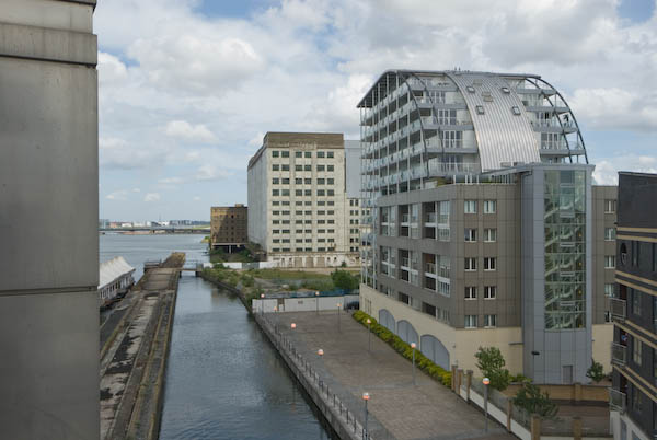
Barrier Point residential development, architects Goddard Manton Partnership (they took some ideas from their earlier Pierhead Lock at West India Docks) is in two parts, the ‘Seven Steps’ garden apartments occupied in 2000, and the landmark tower completed in 2001. It provides 252 “concierged apartments” and attracted various awards, making it “the most decorated contemporary housing development” in Britain. It forms an impressive wall at right-angles to the Thames, with suitably maritime railings and decks, although these perhaps give it too much of a 1930s international modern feel. The tower, a shining white lighthouse, is a grand effect.
This walk will continue in a later post with Part 9: Barrier Park
Canning Town & West Silvertown: Recently I published here a few pictures from a walk in this area in 2006. On 23 June 2007 I led a group visit around the area for London Arts Cafe, LAC, an organisation that ceased to exist a few years later, then devoted to “viewing, expressing and discovering all forms of urban art“.
Although the LAC has long been wound up, I had been responsible for its website, and decided to leave it online – with a clear message that the organisation no longer existed – as a historical record which still contained much interesting material – including the backgrounds of notes that I wrote for the walk I led around the area in June 2007.
As I wrote on My London Diary in 2007, “there was much to look at, including public art, relics of the docks and the new developments that make this one of the largest of current regeneration areas.”
You can still read the ‘Canning Town Walk (June 2007)’ in full on the LAC web site, beginning here and split into ten sections, each with its own page. You are welcome to print it out and follow it for your own walk around what is still a very interesting area of London, though you will note some changes. Here I’ll include the few pictures from these pages, mainly taken on 21 June on my final planning trip for the walk a few days later with a few others, mainly from the same era.
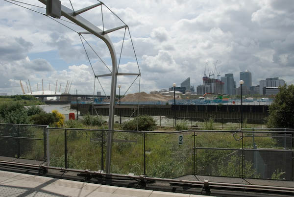
Bow Creek from Canning Town Station DLR platform
It’s a walk that like many I made in the area was based around the Docklands Light Railway which had made transport to the area much simpler. The area has changed in many ways since 2007, not always as I expected, but I think the walk is still a good guide to the area.
Canning Town Walk (June 2007)
1 Introduction
The walk starts at the top of the stairs leading up from Canning Town Station to the Bus Station.
The DLR runs south, to Beckton and North Woolwich (now to Woolwich Arsenal). At left is the tunnel entrance for the Jubilee Line
You can read this on your way to Canning Town Transport Interchange, served by various bus routes, the Jubilee Line and the Docklands Light Railway (DLR.)
DLR platforms and buses in the bus station at Canning Town
Canning Town is in the London Borough of Newham. The latest census showed the population of Newham to be 61% non-white – the highest proportion for any British borough. 41% of the population are under 24 – the highest figure in England and Wales. It has the second highest proportion in the country of three ethnic groups, Asians, Bangladeshis and Black Africans.
Dockside cranes – the Royal Docks closed to commercial traffic in 1981.
Unemployment in Newham is 6.7%, higher than any London borough other than Hackney. Youth unemployment is particularly high, as is the number of unemployed single parents. Canning Town has in the past been one of the most deprived areas of the borough on most social measures.
Demolition at Pura Foods on Bow Creek in September 2006. Bow Creek runs around three sides of the site
Canning Town has Bow Creek – the lower reaches of the River Lea – at its western edge. The Lea is the traditional border between civilisation (Middlesex) and Essex and when the London Building Act of 1844 proscribed noxious industries from London, a more over the river found a laxer regime.
Demolition of Pura Foods, a noxious edible oils works, was almost complete in 2007
The 1840s were also the age of rail building, and the railway companies saw the potential of this riverside area, known as the Plaistow levels, several miles of empty marsh between Bow and Barking Creeks. One of them bought up the area at a knock-down price, and started making plans for docks that their railway could service.
Tate & Lyle originally built two competing sugar works; later the two businesses joined.
The first major industry to move onto a riverside location was C J Mare’s shipbuilding firm in 1846, soon followed by a glass factory owned by the brothers Howard. In 1852, S W Silver & Co, the Cornhill outfitters, set up a factory on the Thames to make rubber coated garments (an idea they borrowed from a Mr Charles Mackintosh.)
More detail about the Thames Ironworks in the Part 2 of my June 2007 Canning Town walk document which will be a later post.
One of the best-known businesses in the area was the ship-builders Thames Ironworks who were founded to take over Mare’s several sites in the area in 1857. They were the last of the London shipbuilders, specialising in their later years in building warships and mail steamers. The company finally closed in 1912-3, but the football club set up by managing director and philanthropist Arnold Hills for its workers in 1895 had changed its name in 1900 to West Ham United.
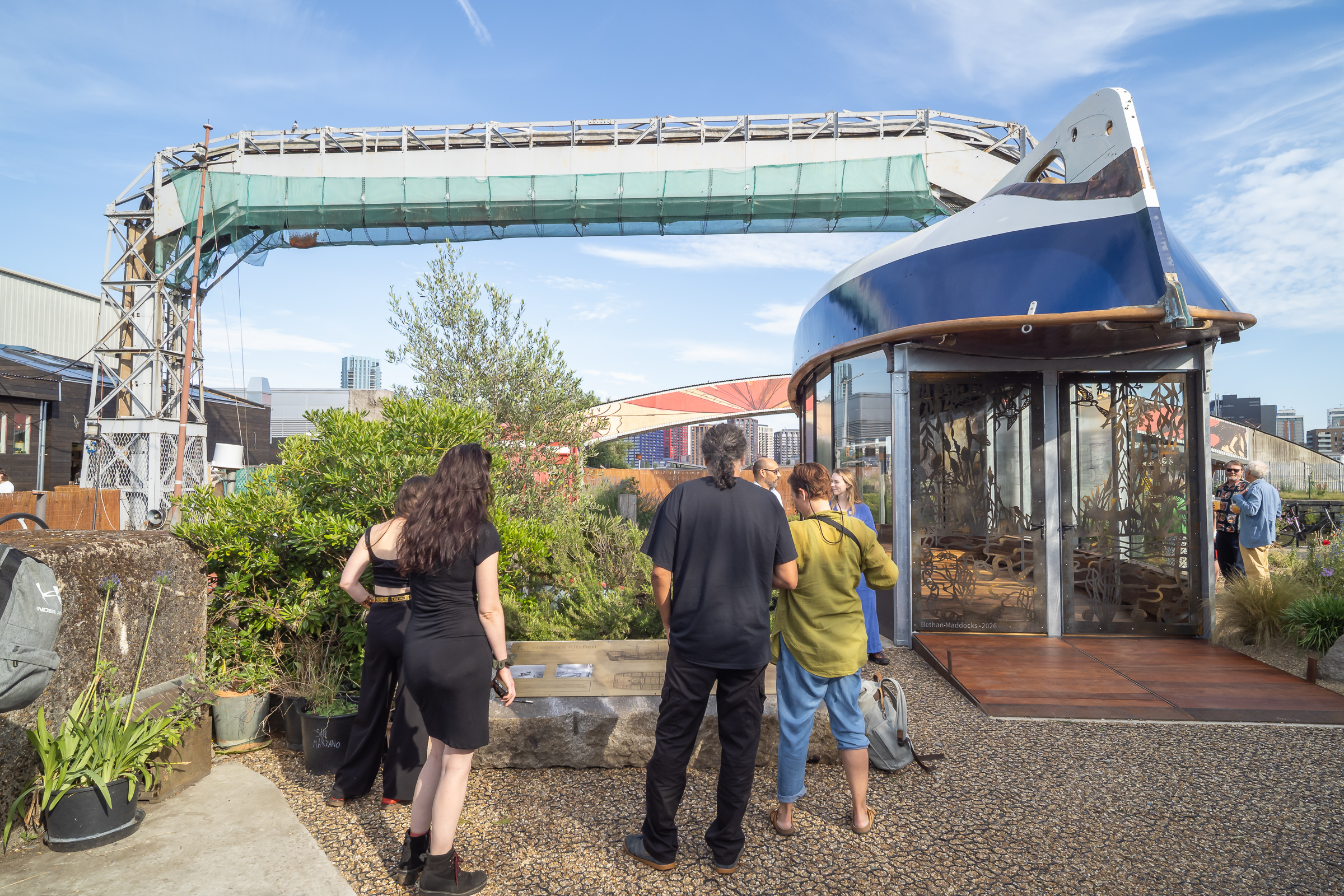
Last week I was pleased to attend the opening of a heritage pavilion, the Boat House, at Cody Dock on Bow Creek, which uses the fully restored Frederick Kitchen lifeboat as its roof. This is thought to have been the last craft completed by the Thames Ironworks in 1913.
More detail about the Thames Ironworks in the next part of my June 2007 Canning Town walk document.
Canary Wharf and the Millenium Dome from Silvertown
Stratford & Silvertown: One of the shorter posts I wrote on My London Diary was about my trip to Silvertown and Stratford in East London on 21st June 2006. Here it is in full, just as I published it then:
on wednesday 21st i took the DLR to stations in silvertown, taking pictures from the train, the platforms and around the stations. then i went to stratford to make more pictures there.
I left home in mid-afternoon and began photographing from the DLR a little after 4pm. It was a fine day and I was going to join a walk around Stratford in the evening by the Greater London Industrial Archaelogy Society and had a couple of hour before I was to meet with them at Stratford Station.
It was almost a year since London had been awarded the 2012 Olympics and I had made a number of visits to the Olympic area to record it before the huge changes that were about to take place.
The DLR extension to King George V station in North Woolwich had opened in December 2005, but had yet made little impact on the surrounding area. Construction had already begun on its extension under the River Thames to Woolwich Arsenal which opened in January 2009.
The line is largely elevated on a concrete viaduct which gives extensive views of the area. As the trains are driver-less I was able to sit at the front of the train and photograph through the front window. Then the DLR was relatively little used and at least on schooldays there was little competition for the front seats – and I think the train windows were usually cleaner.
Trains on the line were then reasonably frequent so I was able to get off at various stations to walk around a little and then return to the station to continue my journey, including a visit to Lyle Park with views across the River Thames.
The station platforms also provide elevated viewpoints to photograph the area. I went as far as Silvertown station and then made my way back to Stratford.
Here I left the train to join the GLIAS walk around the area to the south of the Olympic site, including the Carpenters Estate, a popular council estate close to the station which Newham were then trying to empty and sell off against local opposition, Stratford High Street and the Waterworks River.
By the time this evening walk ended although it was the middle of June the light was fading, though I think this picture exaggerates this a little.
There are quite a few more pictures on My London Diary, beginning here, but I took many more that day, particularly on the evening walk. Perhaps I will post more from this here some time.
North Woolwich Photos: My account of my day on Friday 16 June 2006 is rather short – and manages to include a mis-spelling: “I took a trip to North Woolich and made some pictures there.” And the 45 pictures I posted had only the additional heading “North Woolwich, Thames, Royal Docks & Silvertown” but no captions. I think they deserve more, so I’ll correct that for a few of them in this post.
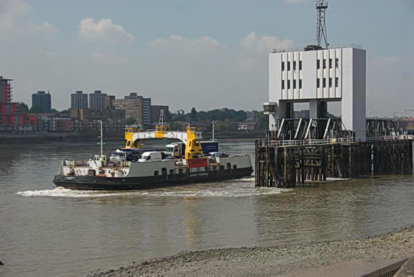
Woolwich Ferry, North Woolwich, 2006
The ferry is the James Newman, built in 1963 and named after a prominent local figure who was Mayor of Woolwich in 1923–25 and was taken out of service in 2018. But I hadn’t arrived on the ferry but had put my folding bike onto a Silverlink service on the North London Line which then ran from Richmond to North Woolwich Station (the section from Stratford to North Woolwich close at the end of 2006.)
The building in the background of the second image is North Woolwich Station, though it had by that date been abandoned by trains which stopped being used as a station in 1979, replaced by a considerably less grand and basic structure on its south side. For some years it was a museum and this fine 1854 building is now home to the New Covenant Church. My picture is taken from the riverside path.
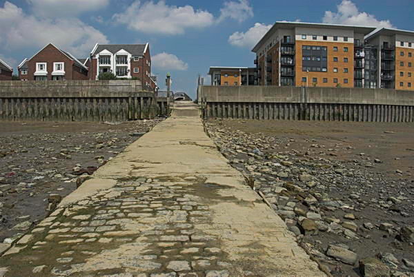
Old Bargehouse Draw Dock and Causeway
Next came three pictures showing the reverside flats just past the Old Bargehouse Draw Dock and Causeway at the end of Bargehouse Road. Until the Woolwich Free Ferry was introduced in 1889 this was where ferries ran across the river to Woolwich. On this occasion I’d cycled past the remains of the Free Ferry without taking any pictures, probably because I had photographed them on several occasions before. You can see the other two pictures of the flats on My London Diary.
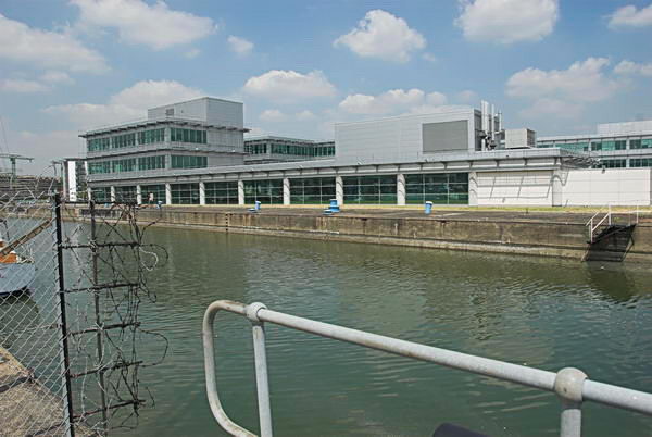
I took a few pictures looking across the River Thames most of which I didn’t post on My London Diary and then this one after I’d crossed the lock gates of the King George V Dock entrance and had come to the lock entrance to the Royal Albert Dock Basin. The building here has since been replaced by the flats of Lockside Way.
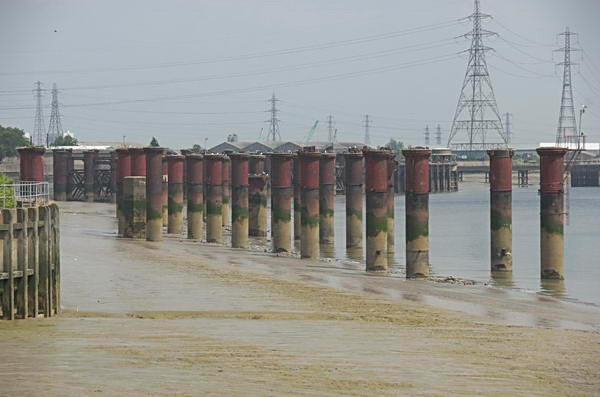
The riverside path – part of the Capital Way – continues north to an abrupt end close to Atlantis Avenue and this view from its end shows the remains of the jetty which brought coal to the Beckton Gas Works. I retraced my path, taking more pictures – some concrete pipe sections, a disused lock gate and a lorry park on My London Diary and then made my way to Woolwich Manor Way.
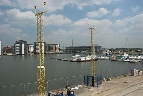
Royal Albert Dock
Here I could photograph across the dock. At the left are new flats built between the dock and University Way and in the foreground are two yellow towers carrying approach lights for the runway of London City Airport.
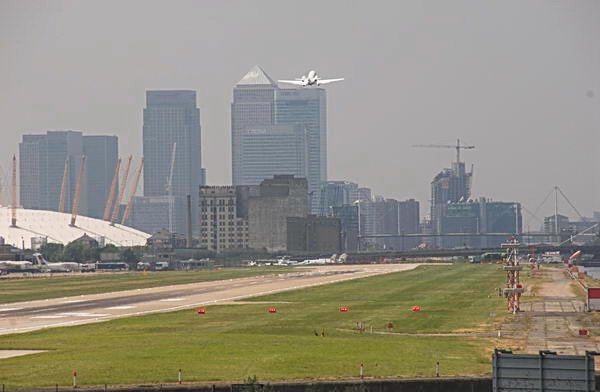
A plane takes off from London City Airport
The haze that you see in this picture, taken with a 300mm (equivalent) lens is a little more obvious than in the other pictures thanks to air pollution, which the airport contributes to.
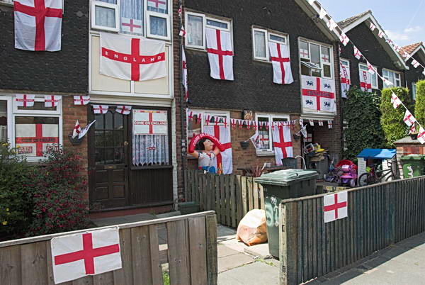
I made some more photographs in North Woolwich – tthere was a Football World Cup taking place in Germany – England were eventually knocked out by Portugal in the quarter-finals.
London City Airport DLR station had opened in December 2005 and I was able to take photographs from there both of the Airport Terminal and of Tate & Lyle’s sugar refinery.
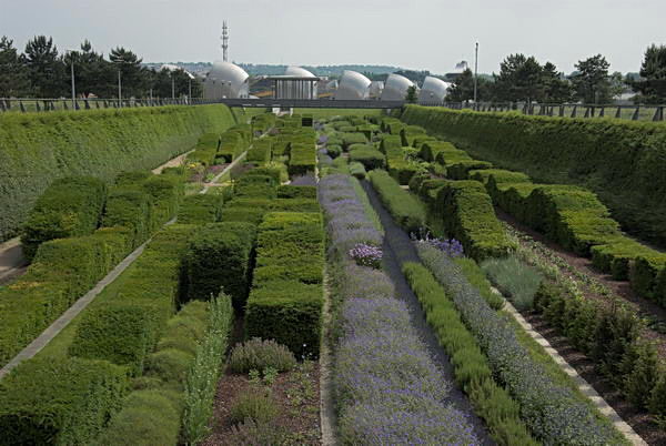
Thame Barrier Park
I took more pictures in Silvertown and Canning Town, some of which you can see on My London Diary, before making my way back to Central London. There I took some more pictures around Brick Lane, some of which I put on My London Diary in a seperate post. It had been a good day for me.
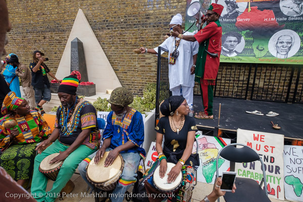
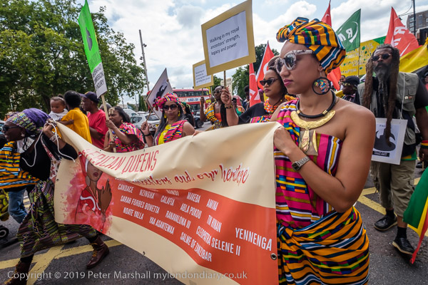
Reparations, North Woolwich & LouLou’s: Thursday 1st August 2019 was a long and busy day for me with an Afrikan Emancipation Day protest, finishing a walk in North Woolwich I’d begun six months earlier and photographing an evening protest outside the exclusive Mayfair club LouLou’s.
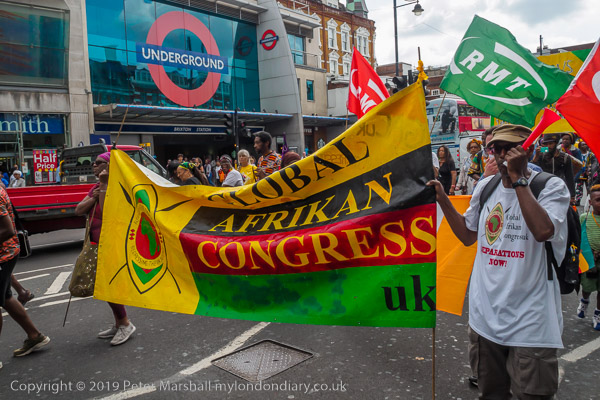
Afrikans demand reparations – Brixton, London.
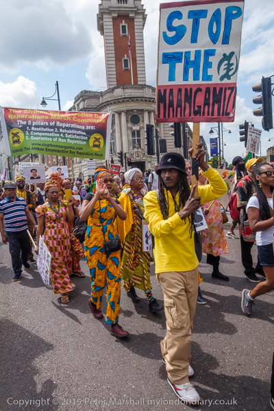
People of African origin met in Windrush Square in the morning to demand an end of the Maangamizi, the continuing genocide and ecocide of African peoples and Africa on Afrikan Emancipation Day.
After speeches & libations they marched from Brixton to Westminster with a petition calling for an end to acts of violence by Britain, the misuse of taxes and the stolen legacy plundered from Afrika under the British Empire and European Imperialism and demanding reparations.
The protest was supported by Extinction Rebellion XR Connecting Communities who marched in an Ubuntu Non-Afrikan Allies bloc.
I left the march as it went past Brixton Police Station on its way to protest outside the Houses of Parliament so I could have some lunch before going to take pictures elsewhere.
I’d taken the tube back into central London to have a quick lunch before taking the DLR from Bank to London City to King George V Dock station for the final section of the walk I had begun in February but had run out of time to finish because I’d had to take a roundabout route to get there as the direct DLR services were suspended following an accident.
Bow Creek
This time the trains were running properly. They start from Bank and so come into the station empty and I was able to chose my seat and for once I found myself sitting next to a clean window on my way to North Woolwich and took a number of pictures.
Tate & Lyle
Later on my way back to Canary Wharf from King George V I was less lucky and the windows were rather grimy, but I still made a few images.
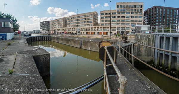
The footpath goes across these gates of the entrance lock to Albert Dock Basin
I took a few pictures as I walked from the elevated King George V station at North Woolwich to the King George V Dock entrance and joined the path by the river.
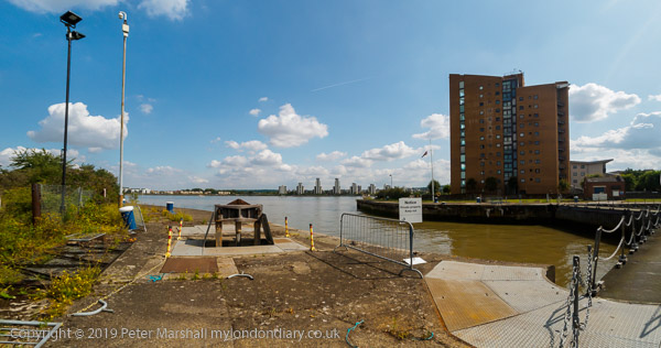
The lock here is huge, 243.8m long and 30.48m wide. I’d first photographed the area back in the 1980s as a part of a wider project on the Docklands following their closure, both in colour but mainly in black and white – in the album 1984 London Photographs. Although the docks themselves remain, much around them has changed, although there are still some derelict areas.
The riverside path here is part of the Capital Ring, and continues north and over lock at the Albert Dock entrance to the curiously desolate Armada Green Recreation Area.
Here the path ends, with beyond it the former site of the Beckton Gas Works, used as a location for at least 17 films and TV series since its closure, though best known as a stand-in for Vietnam in the 1987 Full Metal Jacket. Past that is the Beckton Sewage Treatment Works, set up in 1864 as part of Joseph Bazalgette’s scheme to treat London’s sewage and still receiving it from all of London north of the Thames.
I had to turn inland, through more recent development and the refurbished Gallions Hotel around Alber Dock Basin. I went briefly under the new bridge to see again the East London University student residences, then went back and across it, taking more pictures from the bridge and the road on my way back to King George V station.
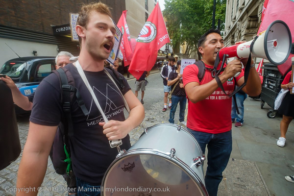
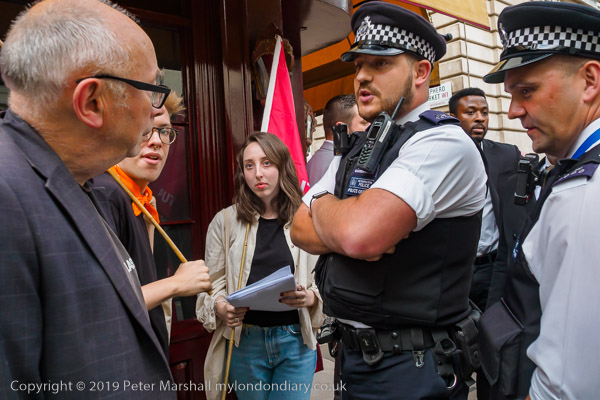
Finally I joined the IWGB Cleaners and Facilities Branch outside the exclusive Mayfair private club LouLou’s where they were picketing and protesting for kitchen porters to be paid a living wage, be treated with dignity, respect and given decent terms and conditions including proper sick pay, holidays and pension contributions. Recently outsourced to ACT, porters want to be returned to direct employment.
Among those supporting them were Class War, and in the picture above Ian Bone confronts a police office asking why they protect and support the rich. Needless to say the officer had no answer to the question. In general the protesters were reasonably behaved and acting within the law, but police and security hired by the club worked together to try and prevent their protest being effective.
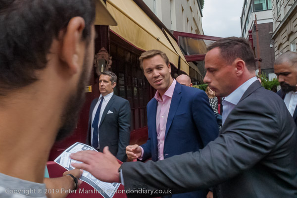
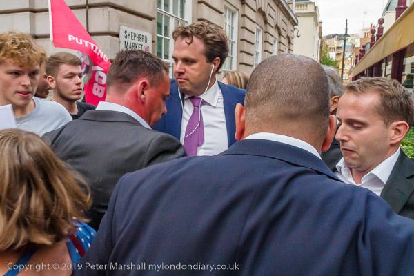
There were angry scenes as staff escorted wealthy clients of the £1800 a year club past the picket, particularly when some roughly pushed the protesters. Police repeatedly warned the protesters but not the security men or customers who had assaulted them. The security also tried to prevent the picket from handing their flier to the customers.
As at previous protests outside of the club, none of the security staff were wearing the visible SIA door supervisor licences required under the Private Security Industry Act 2001, but the police refused to take any action over this.