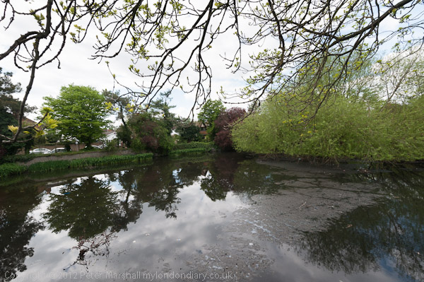
Clock House to Olympic Site: Thursday October 27 2005 was a fine late autumn day and I decided to go for a bike ride, putting my folding bike on a couple of trains to my start point, Clock House station. This is in south east London, halfway between Penge and Beckenham and just inside the London Borough of Bromley.
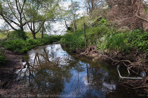
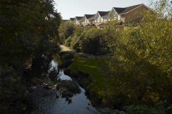
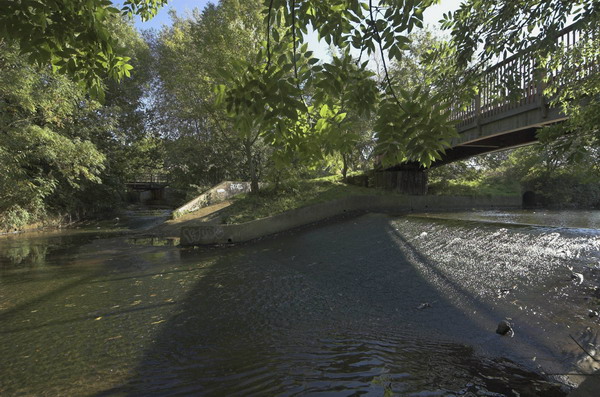
The Chaffinch Brook runs close by and joins with the River Beck to form the River Pool (aka Pool River) a mile or so north and a footpath going north from there is now part of a national cycle route. Parts of the Pool River which were once culverted have now been restored to an open stream, which will help prevent flooding downstream. The river’s main claim to fame is that four years after my ride then London Mayor Boris Johnson fell into it on an official visit to encourage volunteers who were cleaning the river up.
The Pool River is a tributary of the River Ravensborne and I had planned to continue along this as closely as I could to Deptford Creek where it joins the Thames. But I ran out of time, so took the Docklands Light Railway at Lewisham rather than Greenwich to cross the river to Canning Town.
My ride then continued with a loop around Bow Creek and over the Lower Lea Crossing back through Canning Town and on to Stratford Marsh where work was then just beginning to turn this whole area into the Olympic site.
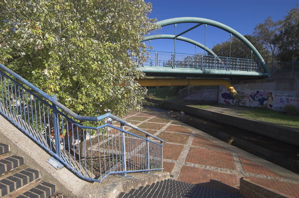
It wasn’t a long ride – probably around ten miles in all, perhaps a little longer with all the small diversions I took. All the pictures here were taken on this ride and there are more on My London Diary, along with the account below that I wrote back in 2005. As usual I’ve made a few small corrections.
The Brompton folding bike is really an ideal form of transport for London, an essential tool for the urban photographer. It’s short wheelbase is great in slow-moving crowded traffic, and it can be folded in 15s to travel by tube, rail, taxi or even bus. [I’ve never put mine in a taxi.] The only problem is that they are highly prized by cycle thieves. [They are fairly expensive and slip easily into a car boot.]

The weather forecast was for a fine summery day, so I took the opportunity to check up on a few things and fill in some little gaps, where I’d not quite managed to photograph things before. First I wanted to go along the footpath at Bell Green, next to Sainsbury’s, so I decided to make a slightly longer trip of it by starting at Clock House Station. There is a good, almost traffic-free route north from there along the Pool River, then the River Ravensbourne, at times surprisingly rural.
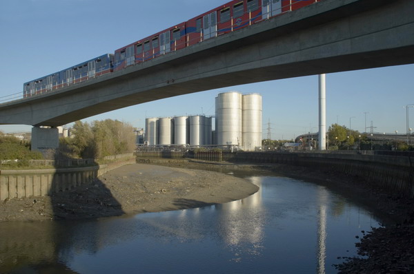
Taking photographs slows you down, as does stopping to sit in the sun and eat sandwiches, so at Lewisham I decided to get on the DLR with the bike to travel to Canning Town.
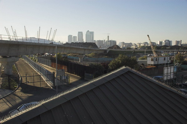
Perhaps one day the riverside walkway by Bow Creek from the station will open [it did, but only to go across a new bridge to City Island – the route south still comes to a dead end], but it seems unlikely to be in our lifetime. I went round the creek, over the Lower Lea Crossing and on to Silvertown Way to see how the new stretch of DLR was progressing. [It opened north of the river at the end of 2005.]
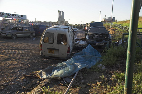
Then I cycled up to Stratford to take a look at Stratford Marsh again before work starts in earnest to demolish the existing businesses and create the Olympic waste. It was getting later and noticeably darker by the time I was there, although the day felt like summer, it gets dark rather earlier at the end of October.
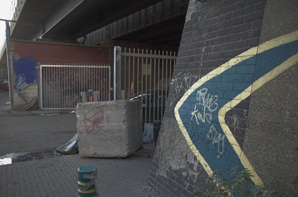
What really makes no sense at all is to put our clocks back to make it even darker still, as we were going to do in a couple of days time. If I were in charge, we’d move to the same time as France and the rest of our neighbours across the channel. I don’t like dark mornings, but it would be much better than having it get dark in the middle of the afternoon in winter. Orcadians or even Scots would be welcome to have their own time zone if they really must, but its about time they stopped imposing it on the rest of us. The sun set around 5.30, and next week that means it will be 4.30pm.
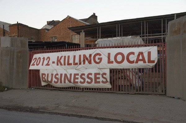
More pictures start here on My London Diary.
Flickr – Facebook – My London Diary – Hull Photos – Lea Valley – Paris
London’s Industrial Heritage – London Photos
All photographs on this page are copyright © Peter Marshall.
Contact me to buy prints or licence to reproduce.
