Lumsdale & Matlock

Lumsdale & Matlock: There are quite a few places I’ve been to which claim to be where the industrial revolution started, but Lumsdale near Matlock where I went for a walk with Linda on Wednesday 23 October 2019 perhaps has a better claim than most apart from the nearby Arkwright mill in Cromford built in 1771, the first modern factory.

Water from the Bentley Brook powered the early days of the industrial revolution

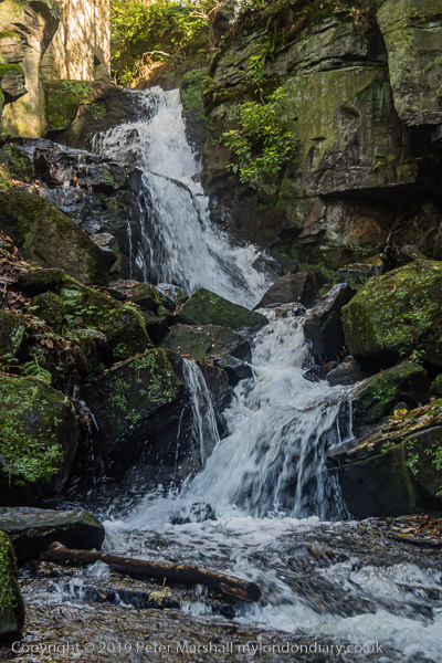
Lumsdale is a steeply sloping valley with a small stream the Bentley Brook tumbling down it, apparently never running dry. It housed industrial mills from the 17th century on and is a site of national archaeological and historic importance. Among the industries that worked there were lead, textile, paint and timber.

The mills at Lumsdale were on a smaller scale than Arkwright’s Cromford Mill and are now only ruins – I think the last closed in 1927.

The area is now owned by the Arkwright Society and can be explored on a permissive footpath. Parts have been fenced off since my visit for safety reasons and I think some of my pictures were taken in these. But it remains an area where you need to take great care near steep drops, especially if like me you sometime suffer from a little vertigo.

A large single stone bleaching vessel

Although there is little or no parking in the area there have always been quite a few visitor in my several visits to the area. In 2014 it became a scheduled Ancient Monument.

I played a little with various shutter speeds by decided I like it best with those that more or less stopped movement rather than blurred it
The Lower Pond built in the 1850s has been restored several times, most recently in 2014
This was the site of the oldest mill in Lumsdale, a former lead smelting mill which was converted to a bone mill
around 1600. Bones were heated and then crushed to be used as pigments. The mill only closed in 1920.

Linda and I were in Matlock to look after grandchildren and walked up from Matlock after taking them to school. After exploring the valley we walked across to the top of Matlock for an unexciting pub lunch and then walked on to the top of Matlock Bank.
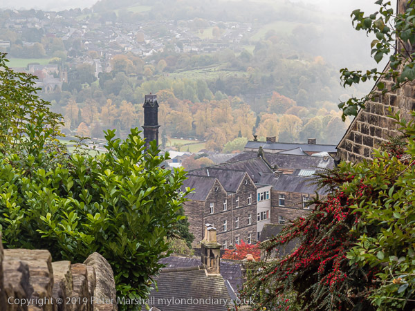
Former tram depot
The hill drops steeply

We walked around a little at the top of the Bank then came down the steep hill to the bridge over the Derwent. In 1893 when Matlock was a popular spa town a cable-hauled tramway was built to take people up and down the 300ft hill. The fare was 2d up and 1d down. It felt a little mean to me charging for taking people down as I think their weight would actually be helping to pull people up. But the tramway closed in 1927, being replaced by a bus service. So far I’ve always walked up, but usually feel by the time I near the top I should have taken a bus.

And back down to the River Derwent. I think we remembered to collect the kids from school.

More on My London Dairy at Lumsdale & Matlock.


Flickr – Facebook – My London Diary – Hull Photos – Lea Valley – Paris
London’s Industrial Heritage – London Photos

All photographs on this page are copyright © Peter Marshall.
Contact me to buy prints or licence to reproduce.
Darent Valley Path & Thames

Darent Valley Path & Thames, Dartford, Kent. On Saturday 4th July 2015 I went by train with my wife and elder son to Dartford for a day’s walking mainly beside the River Darent and River Thames.

Darent Valley Path & Thames

It was a hot summer day and the sky was blue with just a few small patches of white cloud. It probably wasn’t the best day to have chosen, as this was a walk with relatively little shade, but as usual there was a little breeze by the rivers to cool us slightly.

Darent Valley Path & Thames

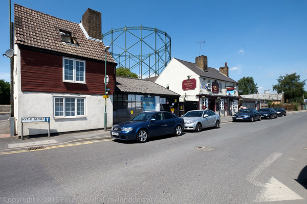
I’d walked (and cycled) along the paths we took several times before, first in the 1980s, but they were new to my companions. After taking a short look at the Darent in Dartford we made our way to Hythe Street. Its name means a landing place or small port, and the Darent was once an important navigation at least as far as the mills in the centre of Dartford. The has been a pub here since 1764 and the Hufflers Arms gets its name from the men who guided and pulled the barges up the river to here.

Darent Valley Path & Thames

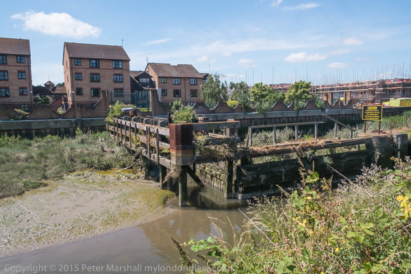
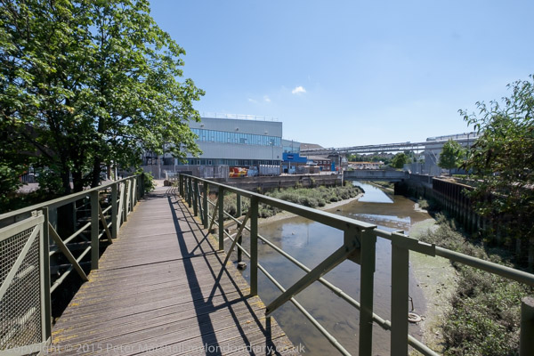
A footbridge takes the path across the Darent here, and past the backs of some industrial sites on towards the half-lock which stopped the river above it drying out at low tide, long derelict. It was something of a surprise to see a narrow boat moored close to it.

Darent Valley Path & Thames

There has been a huge change here since 2015, with volunteers working on and around the lock and the river. You can read more about the work of the Dartford and Crayford Creek Restoration Trust on the Facebook page of the Friends of Dartford and Crayford Creek, and see some of the changes in the pictures there.

Darent Valley Path & Thames

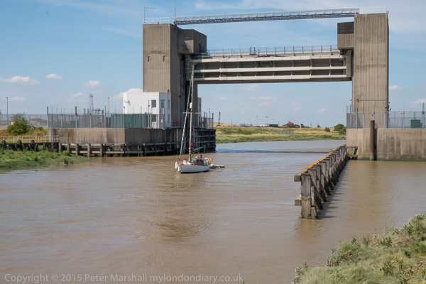
Later in the day I photographed a yacht making its way through the flood barrier from the Thames and going upriver. I heard afterwards that it had reached the recent bridge under the Bob Dunn Way bypass when the tide was just a fraction too high for it to creep underneath with its mast lowered.

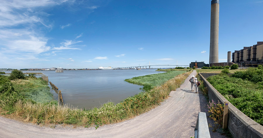
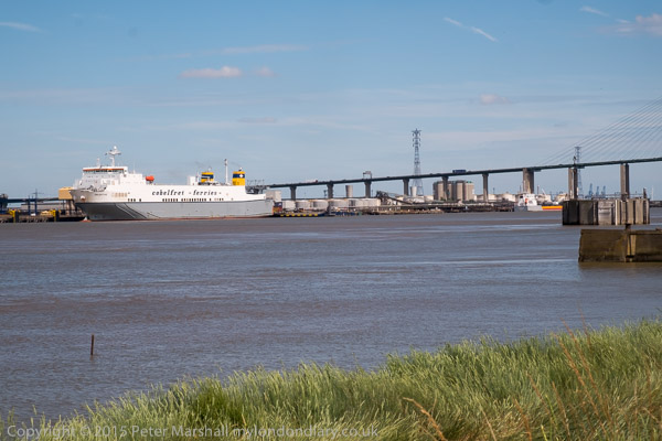
The Thames is pretty wide here and the channel deep enough to take fairly large ships, with the ferries including the ship in the picture operating regular contianer services to Rotterdam and Zeebrugge.

I made a few panoramic images, but the sky was a little empty and blue for it really to be a good day for that. This one which shows my two companions walking on ahead is interesting to me as I have managed to make use of the curvature inherent in these very wide angle views. The path on which I was standing to make the image was more or less straight, though in the picture it seems to bend at roughly a right angle.

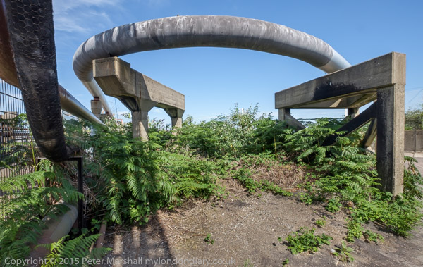
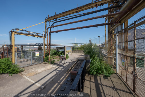
The Littlebrook Power Station had only recently ceased operation, and we walked past some interesting structures there before making our way under the Dartford Bridge.

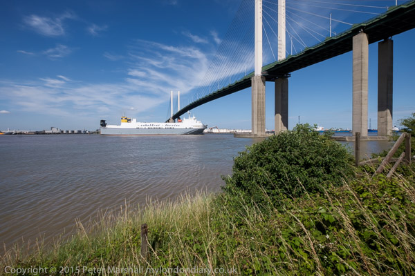
I was pleased that the ferry was leaving and I was able to take a series of photographs of it going under the bridge and sailing on downriver. Some of the pictures give a better impression of the relative heights of ship and bridge with an enormous amount of headroom for the passage.

By now I was getting tired, mainly from the heat and the lack of any shade, and I took few pictures on the rest of the walk to the station at Greenhithe. We didn’t see any sign of the path marked on the map which would have taken us up to the church at Stone as I had planned, but I think I was releived not to have had to climb up the hill, and perhaps didn’t look too hard. After all I’d been there and taken pictures on various occasions before. And if you are walking this way it’s worth the detour.

More about the walk and more pictures at Darent Valley Path & Thames.