Barking and the River Roding: Another post from what now seems to me a distant past, Saturday 3rd February 2007, when I took my Brompton folding bike across London on three trains to Barking. Easy as it is to ride, I think I would find lugging it up and down all the stairs to change trains and enter and exit stations rather too tiring now, 19 years later. There are some very much lighter titanium models now than my ageing steel bike – but at an eye-watering cost. And as well as the bike my camera gear probably put the total weight I was carrying up to more than 20kg.
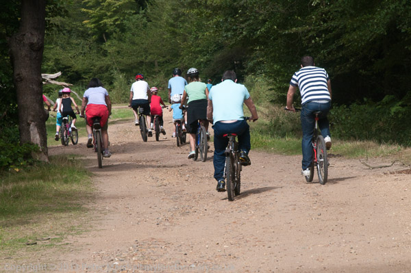
So this is a ride I’m unlikely to repeat, though I’ve often thought of doing so – but perhaps on foot. And although I describe this as a ride, much of it was a walk pushing the bike, not a good off-road bike and impossible on muddy paths. Fortunately it was mainly dry in February 2007 though some paths were quite overgrown.
As usual I’ve put the account into normal case to make it more readable, corrected the odd typo and made a few comments on things that have changed and have given a link to more pictures on My London Diary than on this page.
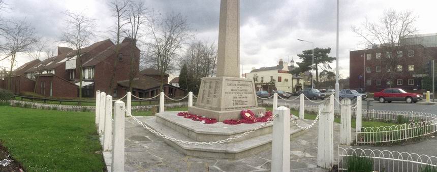
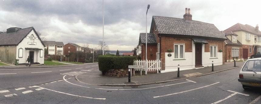
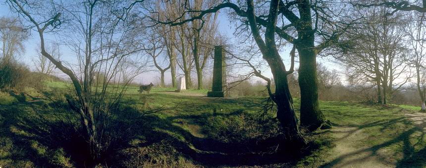
Barking and the River Roding
Barking, Ilford & Redbridge
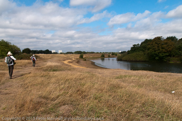
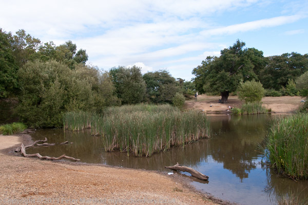
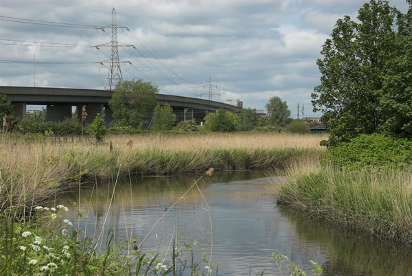
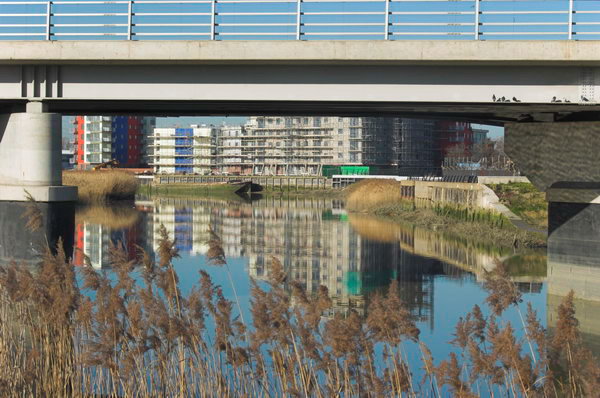
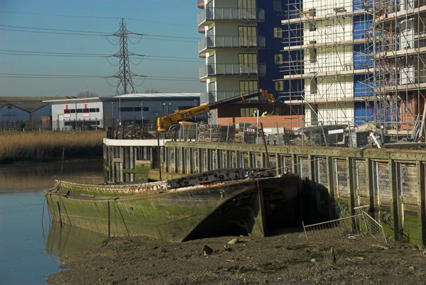
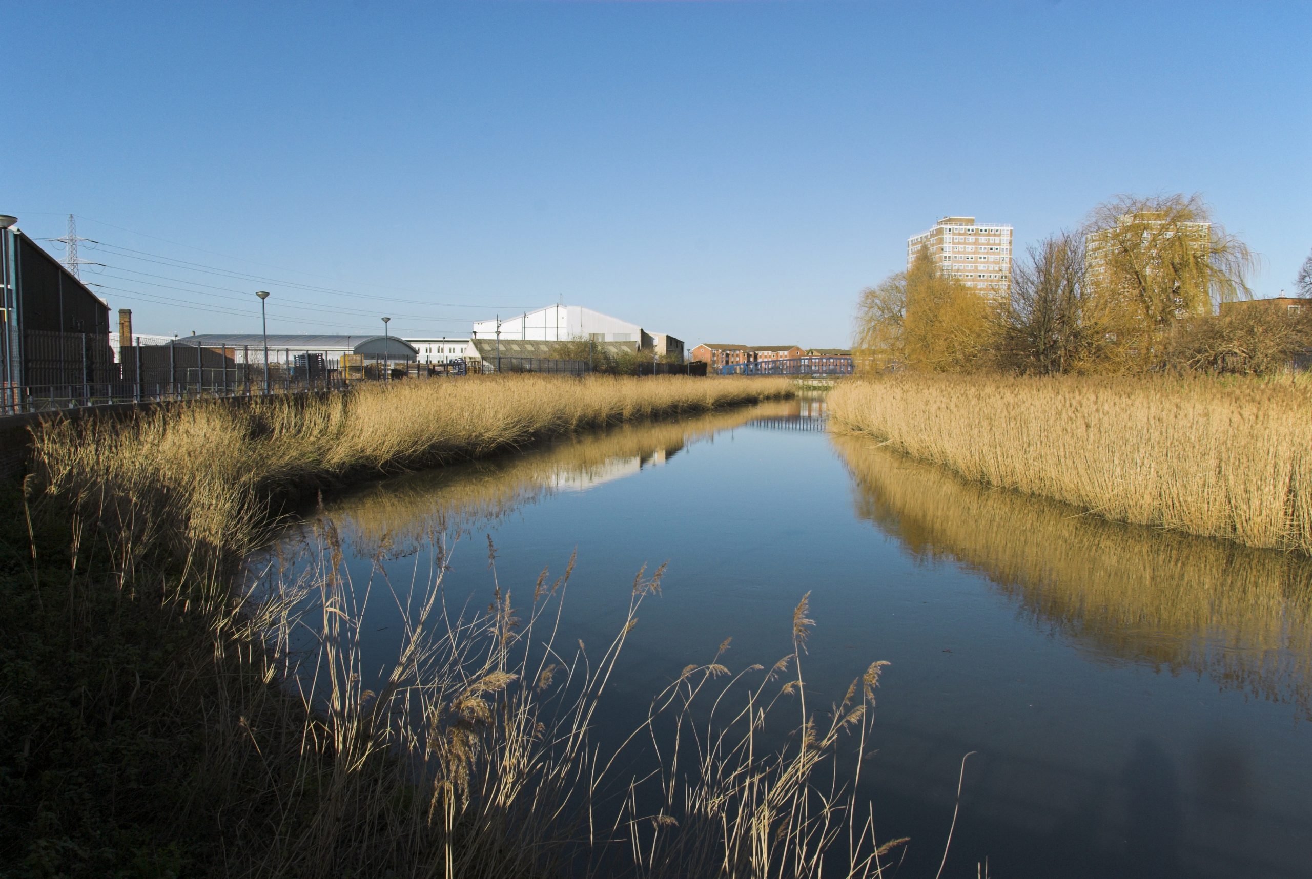
The River Roding runs into the River Thames at Barking Creek. I’d hoped to be able to ride alongside it to the Thames, but although the London Borough of Newham had spent a small fortune on getting ARUP to produce 2.4km of riverside path in 2001-2, it still wasn’t opened for public use. The large and expensive gates at its northern end remain locked. [The path leading to the Beckton Creekside Nature Reserve has apparently since been opened and there a plans for it to go on and no longer be a dead end. But I had to change my plans and instead go north by the Roding.]
I don’t know what it is about Newham and footpaths. At Canning Town, the exit from the station to the riverside path remains firmly closed after the riverside walk was completed some years back, with the end of the bridge over the DLR coming from Tower Hamlets also being fenced off. [Now open, but the path still a dead end in both directions, though there is a new bridge to take you across Bow Creek and so further on.]
This would be the end of The Roding Valley Way, started in 1996, but still largely non-existent, leading to the as yet unbuilt Thames Gateway Bridge and the dream of a park across the river. Don’t hold your breath.
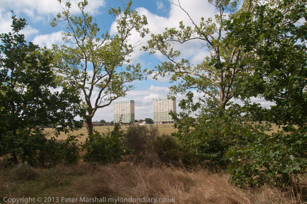
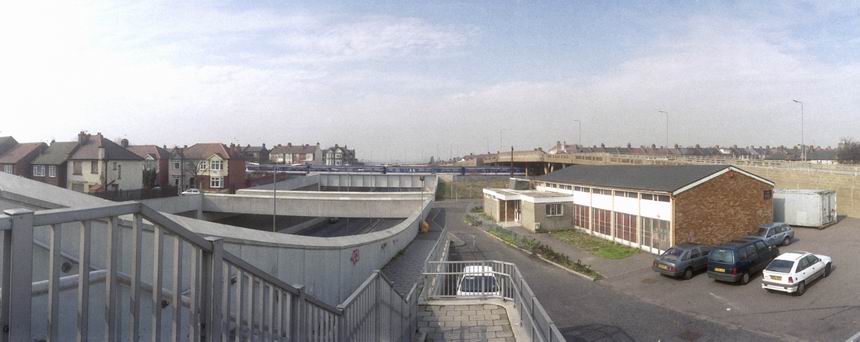
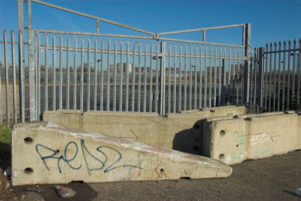
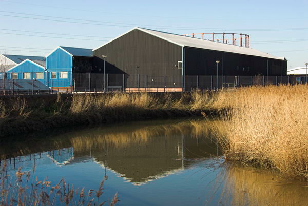
I’d gone to Barking partly to have a look at the Jenkins Lane Car Park underneath the A13 flyover being offered by the London 2012 Olympics developers to relocate travellers from the Clays Lane site. It’s in a kind of wasteland adjoining the Roding, handy for the council yard at the end of the lane, the cinema complex, the sewage works and the new refuse transfer station, and not far from the East Beckton megastores. Just down the road there is still the Horse Sanctuary, a home for neglected old horses. [I think this may have gone.]
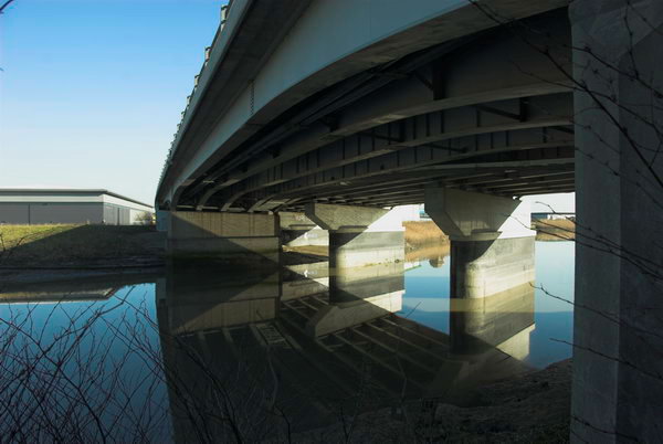
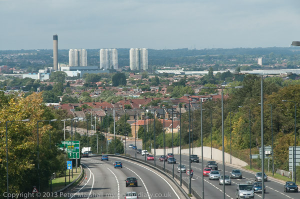
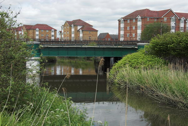
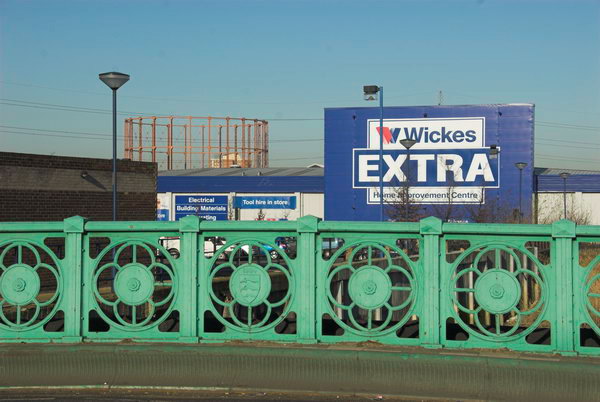
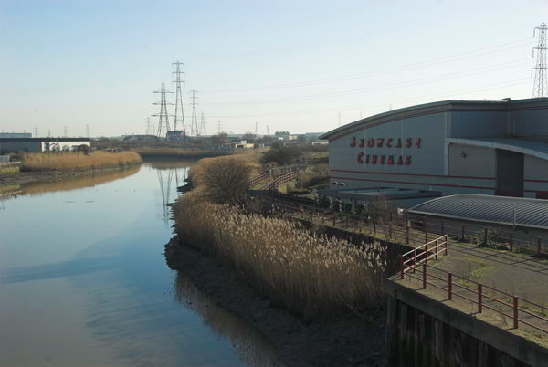
It is just possible to force your way along the riverside path north from the Hollywood Bowl and Showcase Cinema, but on a bicycle it’s easier to follow Jenkins Lane under the A13 and then take the new path to the riverside walk and Cuckold’s Point, and its viewing area, with some convenient seats where I sat in the February sun and ate my sandwiches. Unfortunately the path ends at the head of Hand Trough Creek a couple of hundred yards further on, with a long detour under, beside and over the North Circular to reach Highbridge Road and the town dock.
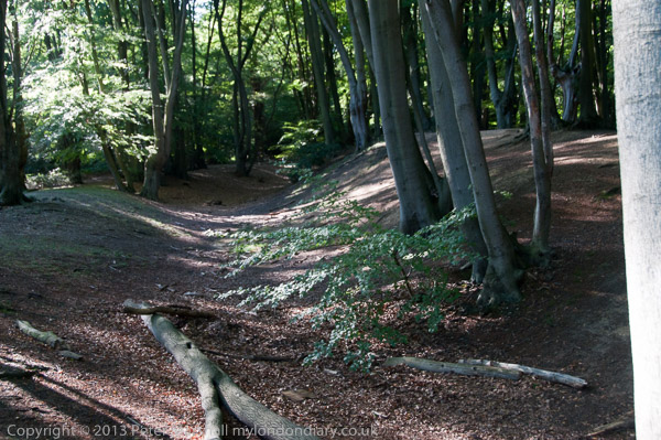
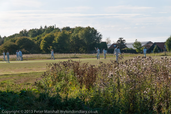
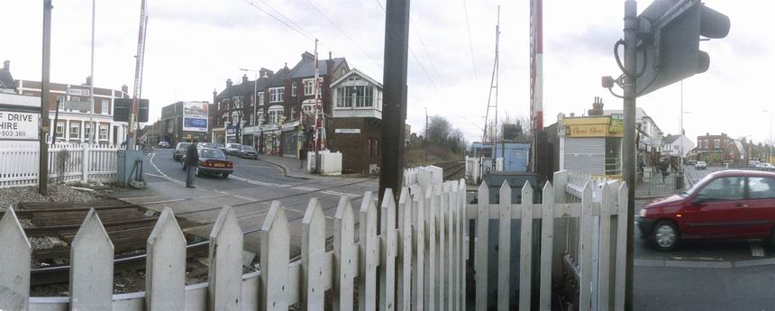
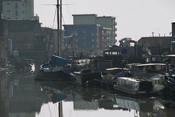
From there you can walk along the river in Tesco’s car park and on from there all the way to the railway line, although it gets rather overgrown. Today I left the path and went through Little Ilford, meeting the river again at the side of the City Of London Cemetery, then going off through Wanstead Park and the Redbridge Roundabout.
From the Redbridge Roundabout going north is another finished section of the Roding Valley Way, although I only followed it as far as the bridge across to Roding Lane South, where I turned south and rode back to Ilford and the trains home.
Remote London has a well illustrated description of walking along my route (and more) in 2023. More pictures from my ride begin here on My London Diary.
Flickr – Facebook – My London Diary – Hull Photos – Lea Valley – Paris
London’s Industrial Heritage – London Photos
All photographs on this page are copyright © Peter Marshall.
Contact me to buy prints or licence to reproduce.