Redbridge 1995 Colour

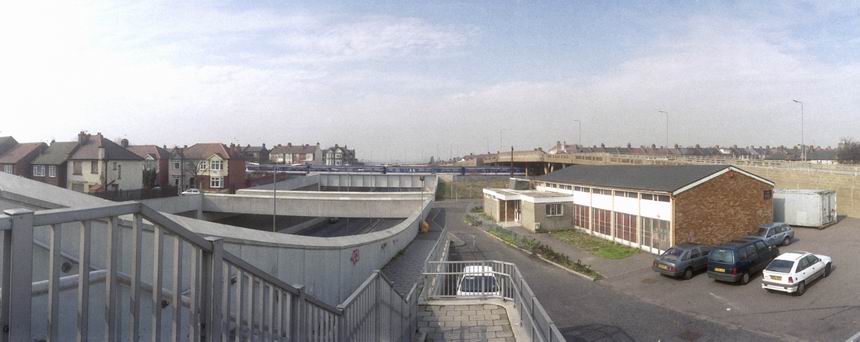
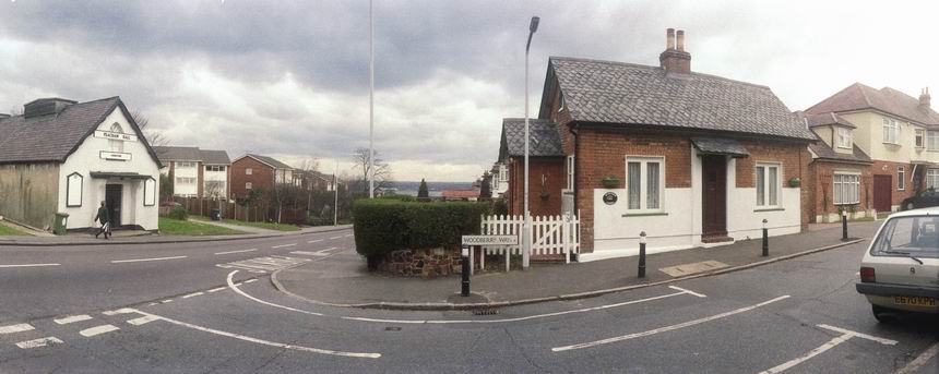
Redbridge 1995 Colour: Redbridge is one of the boroughs in the north-east of London and not one that I visit very frequently. The only major town in the borough is Ilford, and had they called the borough that more people would know where it is.

North Circular, Mll, River Roding, South Woodford, Redbridge, 1995, 95p4-2073

Instead they named it after an area in the suburbs of Ilford, which got its name from a red brick bridge over the River Roding. It stood out as most other bridges were stone and shades of white. The bridge was demolished in 1921 but the name stuck.

Industrial Estate, Roding Lane South, Woodford Green, Redbridge, 1995, 95p4-2063

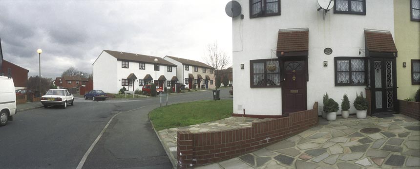
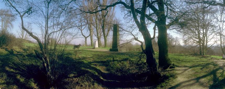
Much of the borough is covered by suburban sprawl, particularly from the interwar years, but significant parts of Essex’s Epping Forest remain, and where the red bridge once stood is now a huge road junction where the North Circular Road (here the South Woodford to Barking Relief Road) intersects with the A12 Eastern Avenue. And a little further north is Charle Brown’s Roundabout where the North Circular and other roads lead to the M11 in a complex interchange. The name came from the landlord of a pub, The Roundabout, demolished in 1972 to build M11 slip roads, and has no link to the more famous Limehouse pub.

Industrial Estate, Roding Lane South, Woodford Green, Redbridge, 1995, 95p4-2051

The extension of the Central Line of the London Underground system to here – the Hainault Loop – was held up by the Second World War but opened in 1947 with some fine stations including https://en.wikipedia.org/wiki/Gants_Hill_tube_station Gants Hill whose underground concourse between the platforms is often said to be inspired by the Moscow Metro.

North Circular, Mll, River Roding, South Woodford, Redbridge, 1995, 95p4-2043

It was designed by Charles Holden, better known for his 1930s stations on the Piccadilly and other lines, and who was doubtless responsible in part for the advice given to Moscow in the early 1930s. In turn London Transport produced a report on the Moscow system and decided to build an underground Underground station on similar lines, designed by Holden.

Subway, Southend Road, Claybury, Redbridge, 1995, 95p4-2022

Unlike his earlier stations, Gants Hill is almost entirely underground, with its ticket hall below the Gants Hill roundabout on Eastern Avenue. The line follows Eastern Avenue to the station after Gants Hill, Newbury Park where it comes to the surface and turns north until it exits the borough of Redbridge at Grange Hill.

Subway, North Circular, Gants Hill, Redbridge, 1995, 95p7-342

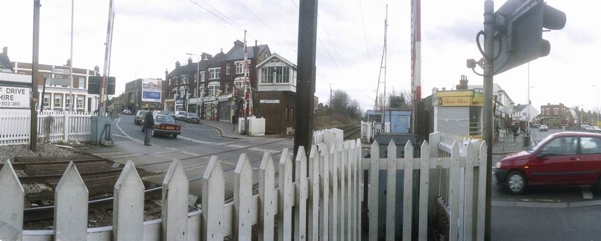
I think all the the pictures I made in 1995 were made on walks beginning and ending either at Ilford (on the District line) or stations on the Central Line, including South Woodford, Redbridge and Gants Hill.

Splash, Hand Car Wash, Redbridge, 1995, 95c8-664
Splash, Hand Car Wash, Redbridge, 1995, 95c9-244
Subway, Eastern Avenue, Redbridge, 1995, 95c9-254
Café, Redbridge, 1995, 95c9-246

FlickrFacebookMy London DiaryHull PhotosLea ValleyParis
London’s Industrial HeritageLondon Photos

All photographs on this page are copyright © Peter Marshall.
Contact me to buy prints or licence to reproduce.


Meridian 3

Following the Greenwich Meridian is rather easier since the Ordnance Survey helpfully added it to their 1:25000 maps in 1999, but these pictures were made five years earlier in my project in preparation for the Millennium. I’d had to draw my own pencil line in their maps, which fortunately did show in their outer margins the Longitude at one minute intervals, including 0°00′, so it wasn’t hard to add the line.

I’ve never quite understood why the National Grid doesn’t quite align with this, the Prime Meridian, but presumably there were good reasons for choosing another starting point and working very slightly at an angle. The street maps which I needed to work out my actual route as they had the street names follow the National Grid, though they rather hide this behind their own system of letters and numbers based on half-kilometre squares.

For the northern part of my walk, the Meridian ran roughly down the gap between two pages of my Master Atlas of Greater London, a book too large and heavy to carry on my walks, and I marked out my route with highlighter pens on illegal photocopies of its pages.

There are several crossings of Southend Road, the North Circular Road at this point close to the Meridian which I think was actually a few yards to my east as I took a picture looking roughly west. But the road layout had changed a little from that since my OS map had been revised. It was a view which made a better picture – and close enough to the line for me, as was the level crossing at Highams Park – where again the actual line is a few yards behind me – to the west.

The view of Mapleton Rd and Stapleton Close (wrongly titled Mapleton Drive in my notes) is perhaps a hundred yards west of the Meridian, but close enough for me. The war memorial at the junction of The Ridgeway and Kings Head Hill is spot on target, while Woodberry Way is perhaps around a hundred yards to the west.

Finally, Pole Hill has two markers; the obelisk, set up by the Astronomer Royal to align his telescope in Greenwich due north is on the old Meridian, but the trig point to its left is on the version adopted internationally (except by France) in 1884. Nowadays we use GPS based on the International Terrestrial Reference Frame which has its zero meridian 102.478 metres further east.


All photographs on this and my other sites, unless otherwise stated, are taken by and copyright of Peter Marshall, and are available for reproduction or can be bought as prints.